Plizio Visual Lab
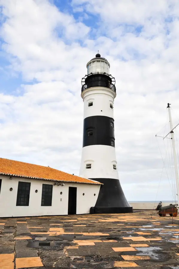
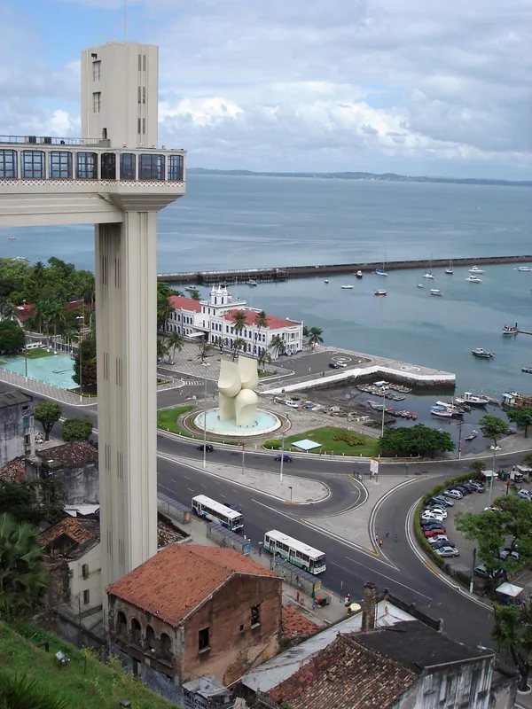
Port of Salvador
Weather…
Water temperature…
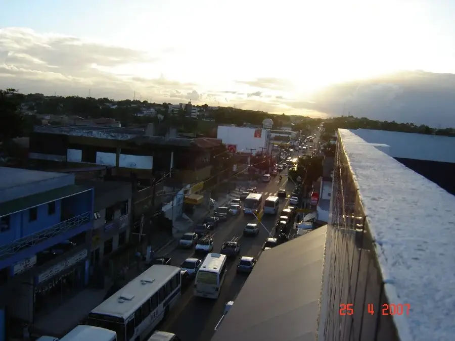
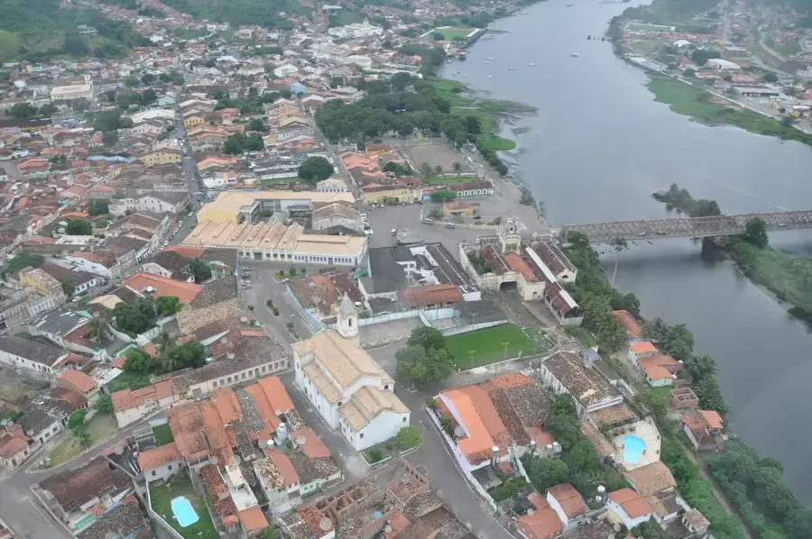
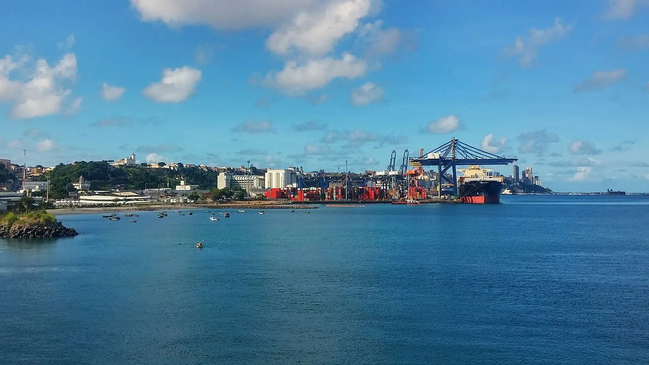
The Port of Salvador, located in the Bay of All Saints (Baía de Todos os Santos), is one of Brazil's most historic maritime gateways. Since the colonial era, it has been the primary link for trade with Europe and Africa. Today, it is a modern multi-purpose port that plays a crucial role in the economy of the state of Bahia. The port features a state-of-the-art container terminal (Tecon Salvador), which has been significantly expanded in recent years to accommodate larger vessels. Beyond container traffic, it is a vital hub for exporting fruits, cellulose, and chemical products from the nearby Camaçari Industrial Complex. The port's location also makes it one of Brazil's most attractive destinations for international cruise ships, featuring a modern passenger terminal near the historic Pelourinho district. The blend of historical legacy and modern infrastructure secures its position as a leading port in the Northeast.
- Location: Brazil
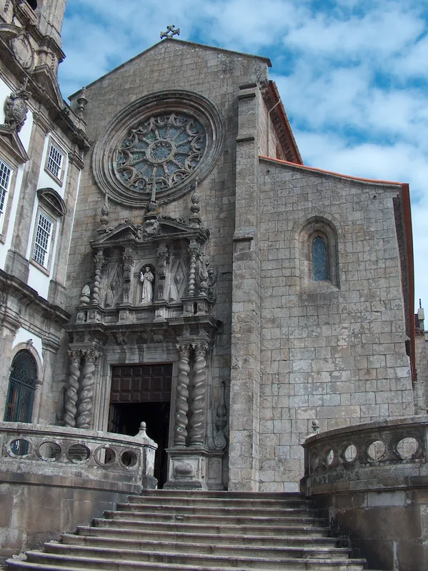
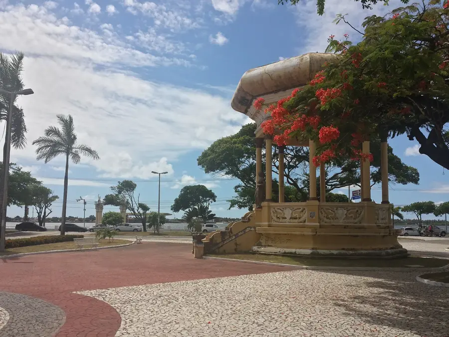
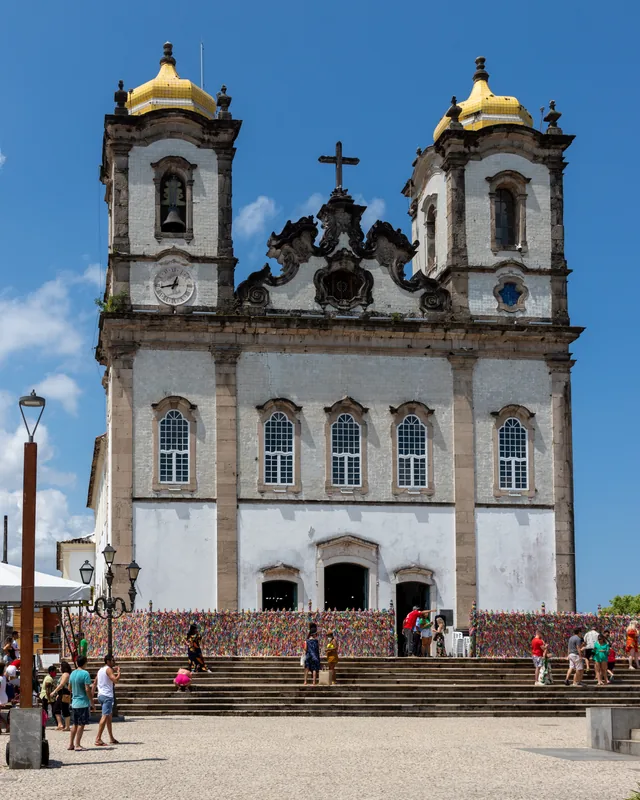
- Top sights: Naufrágio do Vapor da Jequitáia · Igreja da Ordem Terceira da Santíssima Trindade · Forte de Santo Alberto
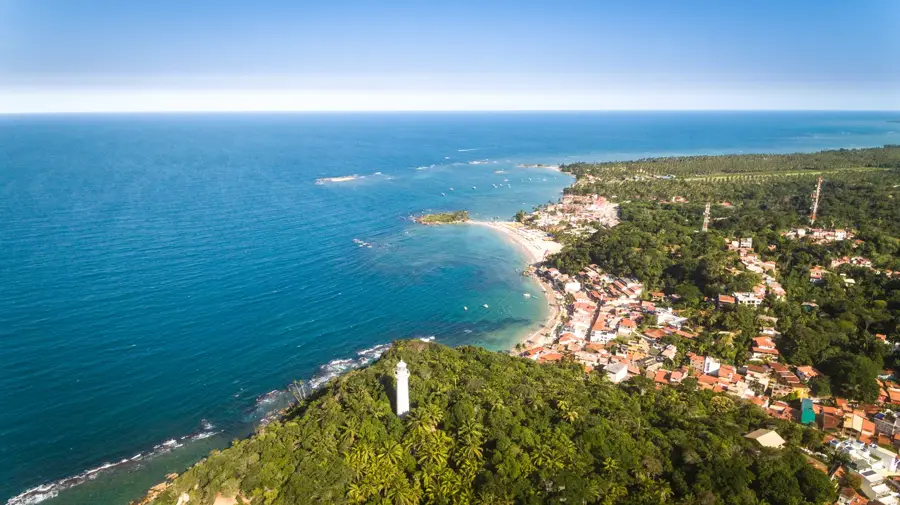
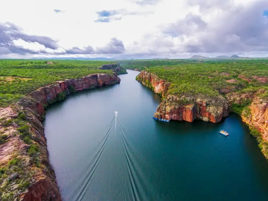
- Nearby: Morro de Sao Paulo (57 km)
Best time to visit & climate
The most pleasant time to visit is Aug–Oct.
| Jan | Feb | Mar | Apr | May | Jun | Jul | Aug | Sep | Oct | Nov | Dec | |
|---|---|---|---|---|---|---|---|---|---|---|---|---|
| Avg °C | 27 | 27 | 27 | 27 | 25 | 24 | 24 | 23 | 24 | 25 | 26 | 27 |
| Rain mm | 83 | 87 | 100 | 147 | 166 | 138 | 128 | 96 | 71 | 69 | 72 | 57 |
📋 Practical info
Geography
Facts
- Located in the Baía de Todos os Santos, the largest bay in Brazil.
- The very first port established in Brazil during the colonial era.
- Home to Tecon Salvador, the largest container terminal in the Northeast.
- Strategic export hub for the Camaçari Industrial Pole.
- Features a specialized terminal dedicated to fresh fruit exports.
- Handles over 150,000 cruise ship passengers annually.
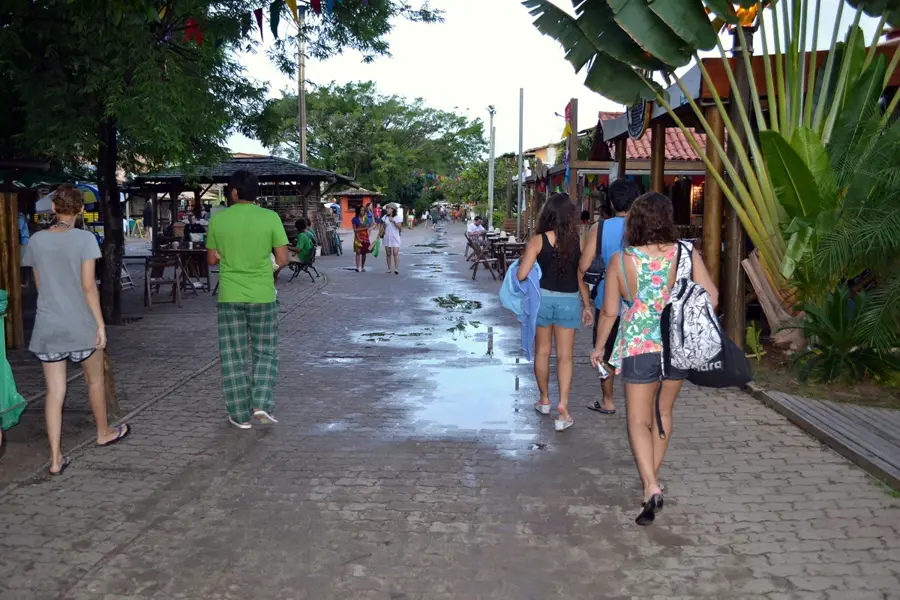
Explore nearby
Notable places around
Route planner — Car & Motorhome
Where do you start? We build the route here, with stops and country notes along the way.
© OpenStreetMap contributors · OpenRouteService
Sights in the town Port of Salvador (7)
Sights nearby
Frequently asked questions
What role does the Port of Salvador play?
Is the port near the center?
What is primarily exported from here?
Are there tourist ferries from the port?
What is the Baía de Todos os Santos?
Port of Salvador: where is it located?
Port of Salvador: what is there to see?
Port of Salvador: when is the best time to visit?
Port of Salvador: why is it worth visiting?

Nearby cities

History & landmarks
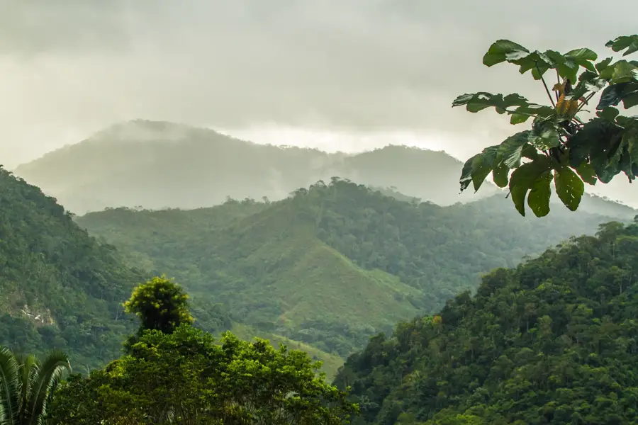
Nature
More places