Plizio Visual Lab
Black Mountains
Weather…
Water temperature…
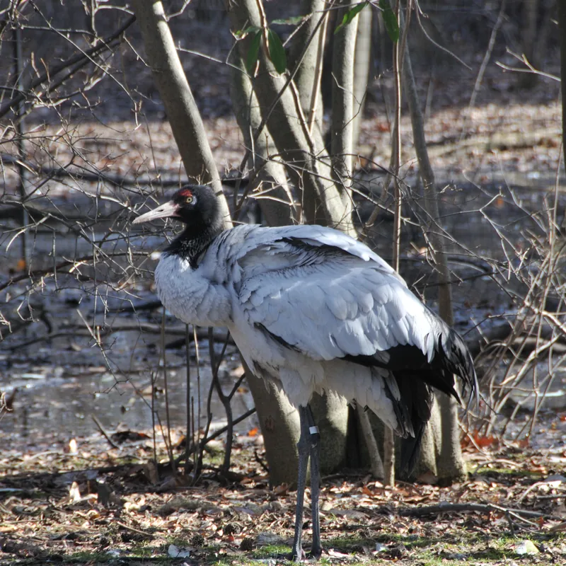
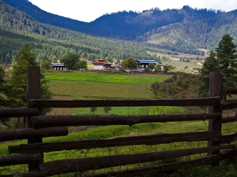
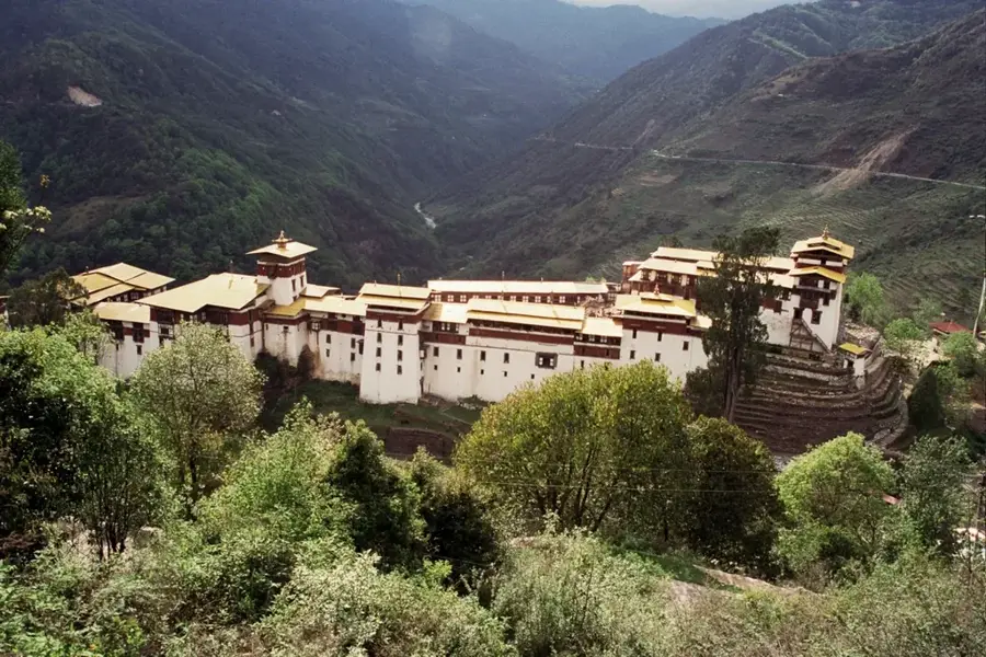
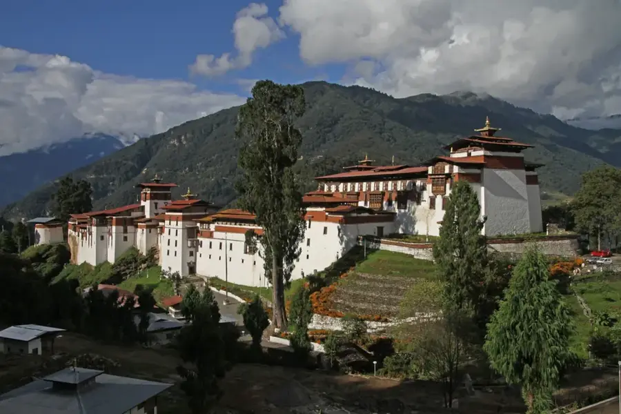
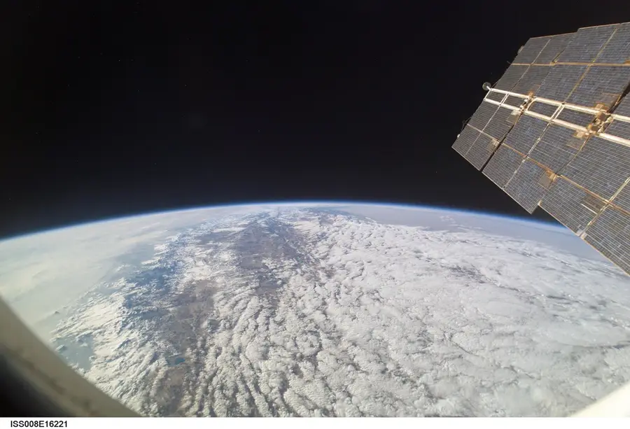
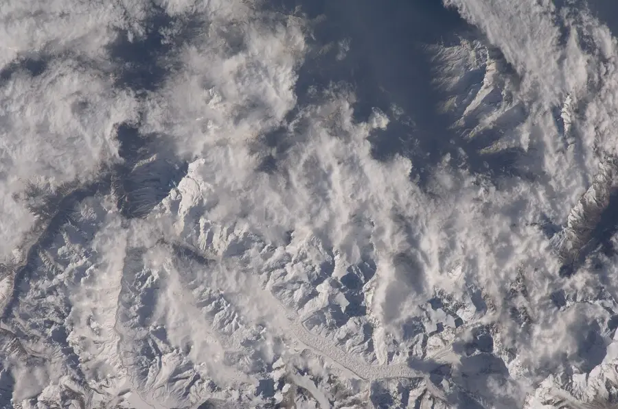
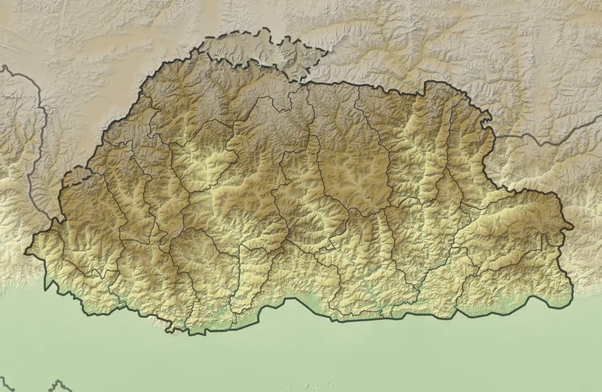
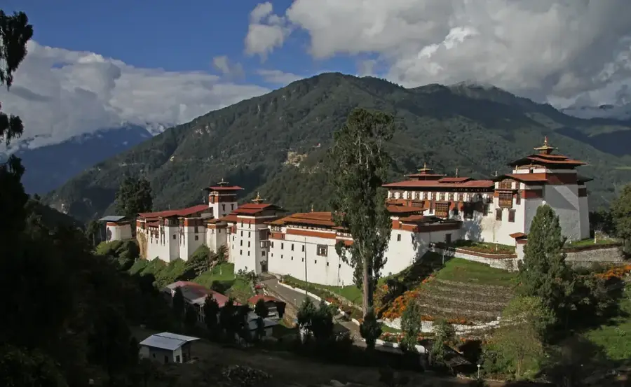
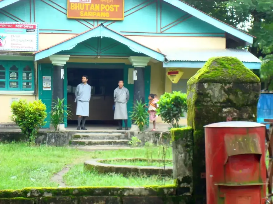
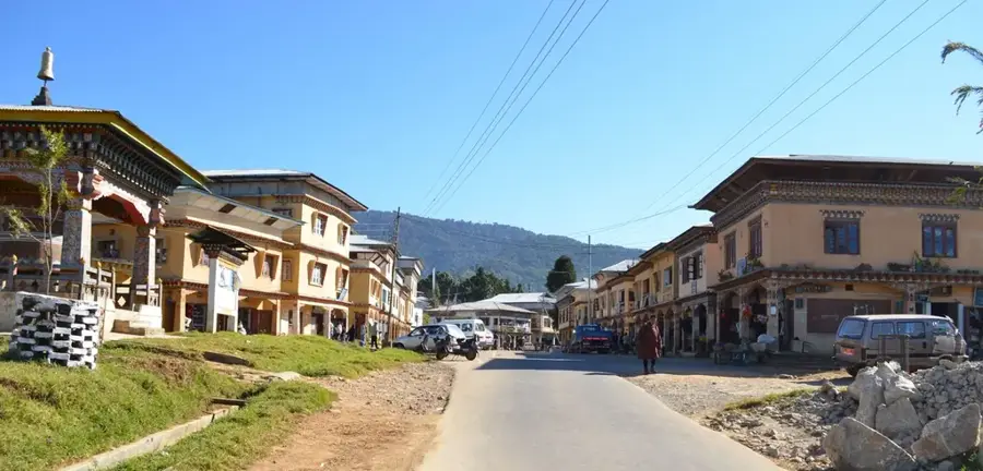
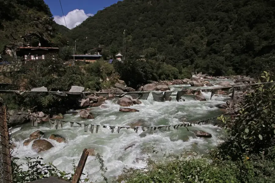
The Black Mountains are a significant range in central Bhutan, forming a natural barrier between the western and eastern parts of the country. They run from north to south, separating the drainage basins of two major rivers, the Mo Chhu (Sankosh) to the west and the Mangde Chhu to the east. The highest peaks reach elevations of nearly 5,000 meters, with Durgang La being the highest point. The range is covered in dense, pristine forests that harbor a rich biodiversity, including rare species like the red panda, the Himalayan black bear, and, in the lower elevations, the endangered Royal Bengal tiger. Historically, crossing the Black Mountains was difficult, leading to a distinct cultural and linguistic separation between western and eastern Bhutan. Today, the region is protected by the Jigme Singye Wangchuck National Park, which serves as a vital corridor for wildlife migration.
- Location: Bhutan
- Nearby: Phobjikha Valley (9 km)
Best time to visit & climate
The most pleasant time to visit is Sep–Nov.
| Jan | Feb | Mar | Apr | May | Jun | Jul | Aug | Sep | Oct | Nov | Dec | |
|---|---|---|---|---|---|---|---|---|---|---|---|---|
| Avg °C | 0 | 1 | 4 | 7 | 10 | 13 | 14 | 14 | 12 | 9 | 5 | 2 |
| Rain mm | 4 | 12 | 32 | 102 | 145 | 194 | 257 | 196 | 137 | 64 | 5 | 3 |
📋 Practical info
Geography
Facts
- Separates the valleys of Mangde Chhu and Sankosh.
- Highest peaks reach almost 5000 meters.
Explore nearby
Notable places around
Route planner — Car & Motorhome
Where do you start? We build the route here, with stops and country notes along the way.
© OpenStreetMap contributors · OpenRouteService
Sights nearby
Frequently asked questions
Where are the Black Mountains located?
Can you hike in the mountains?
Are there national parks in this region?
What animals live there?
Are there paved roads across the mountains?
Black Mountains: where is it located?
Black Mountains: when is the best time to visit?
Black Mountains: why is it worth visiting?

Nearby cities
History & landmarks
Nature
More places