Plizio Visual Lab
High Fens
Weather…
Water temperature…
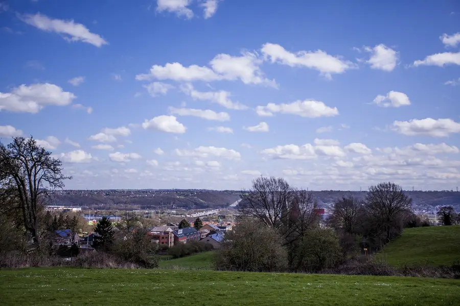
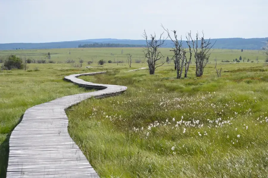
The High Fens (Hautes Fagnes) is the largest high moorland nature reserve in Belgium, situated on a high plateau in the Eastern Cantons along the border with Germany. Established in 1957, the protected area now encompasses around 4,500 hectares of vital peat bogs and heathland. It is home to the highest point in Belgium, the Signal de Botrange, which reaches an elevation of 694 meters above sea level. The region is known for its harsh climate and high levels of rainfall, which facilitate the growth of rare peat mosses and carnivorous plants such as the sundew. Geologically, the area is a relic of the last ice age and provides a sanctuary for endangered species like the black grouse and the black stork. An extensive network of wooden boardwalks allows visitors to safely traverse the fragile marshy ground without damaging the sensitive vegetation. The High Fens plays a crucial role as a natural water reservoir, regulating the hydrology of surrounding river systems. It remains a unique example of a subarctic landscape in Western Europe, offering a mystical atmosphere characterized by fog and untouched wilderness.
- Location: Belgium
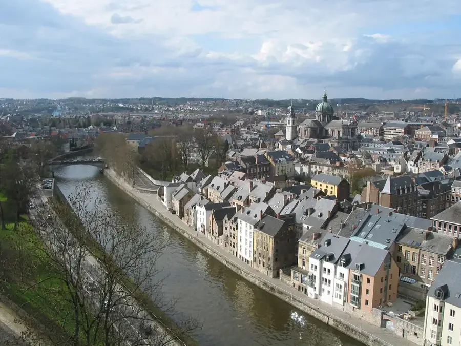
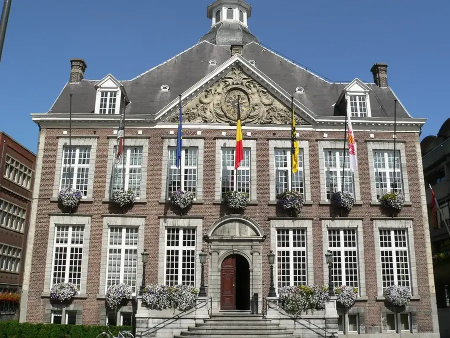
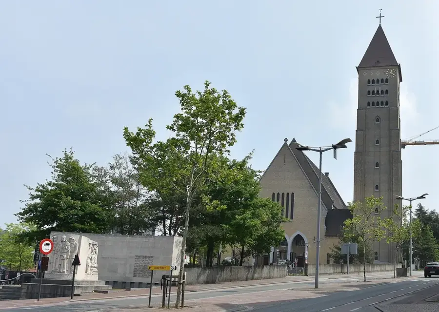
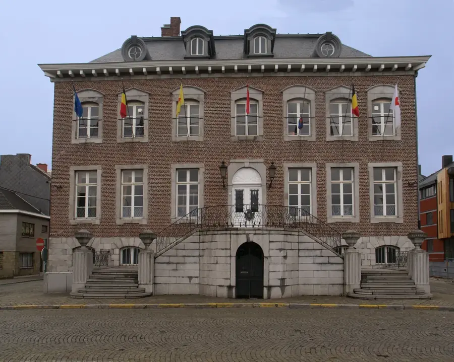
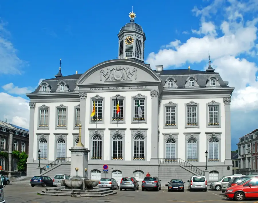
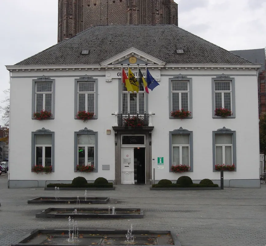
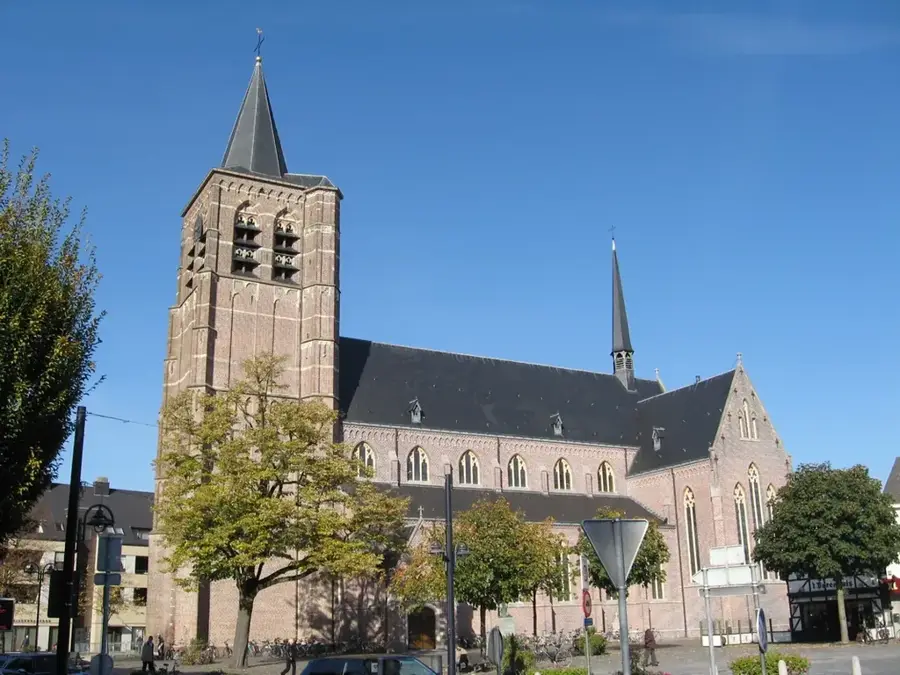
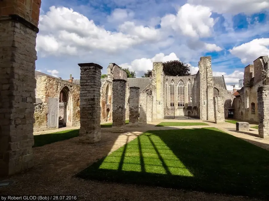
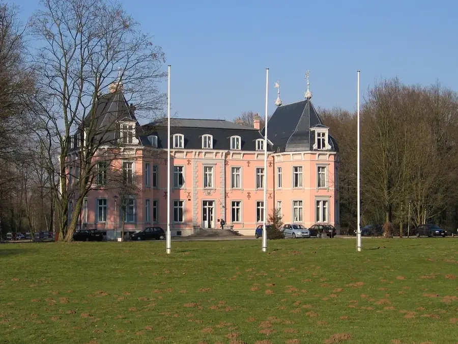
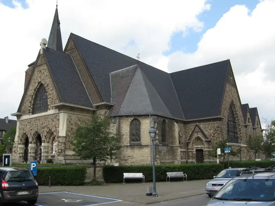
- Top sights: Archivothèque de la Haute Ardenne Centre de documentation · Monument Pietkin · Monument Dehousse
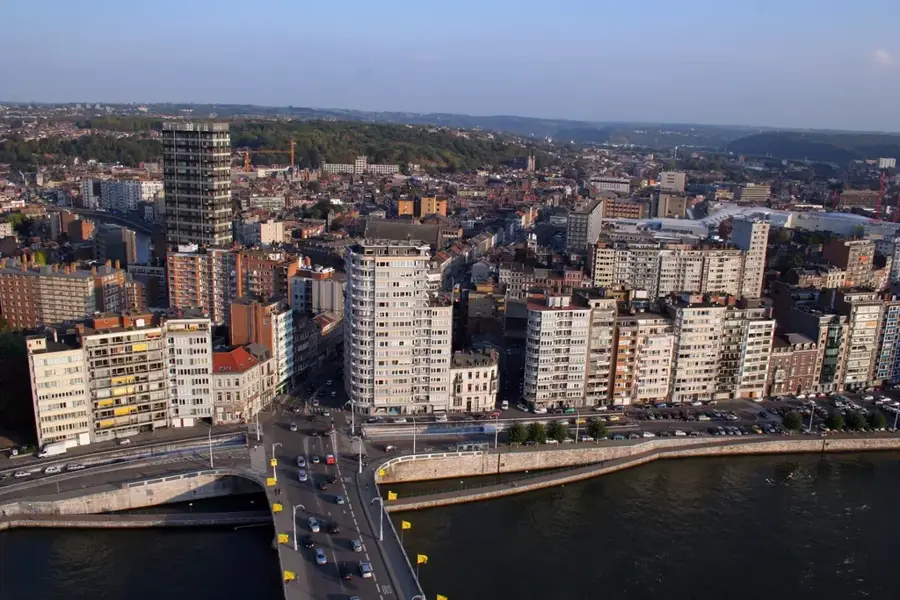
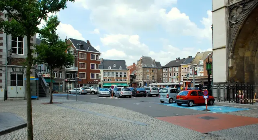
- Nearby: Robertville (5 km)
Best time to visit & climate
The most pleasant time to visit is Jun–Aug.
| Jan | Feb | Mar | Apr | May | Jun | Jul | Aug | Sep | Oct | Nov | Dec | |
|---|---|---|---|---|---|---|---|---|---|---|---|---|
| Avg °C | 0 | 0 | 4 | 8 | 12 | 15 | 17 | 17 | 13 | 9 | 5 | 1 |
| Rain mm | 86 | 76 | 72 | 53 | 77 | 79 | 84 | 91 | 66 | 70 | 78 | 90 |
📋 Practical info
Geography
Facts
- The nature reserve was officially established in 1957.
- Signal de Botrange is the highest point in Belgium at 694 meters.
- The core protected area covers approximately 4,500 hectares.
- Annual rainfall in the region can reach up to 1,400 millimeters.
- The peat layers in the bog are up to 8 meters thick in some places.
- The black grouse is one of the rarest bird species found in the reserve.
Explore nearby
Notable places around
Route planner — Car & Motorhome
Where do you start? We build the route here, with stops and country notes along the way.
© OpenStreetMap contributors · OpenRouteService
Sights in the town High Fens (4)
Sights nearby
Frequently asked questions
What is the High Fens?
Can you hike there when it's wet?
How is the weather up there?
Is there snow in winter?
Do I have to stay on the paths?
High Fens: where is it located?
High Fens: what is there to see?
High Fens: when is the best time to visit?
High Fens: why is it worth visiting?

Nearby cities