Plizio Visual Lab
Gaume Region
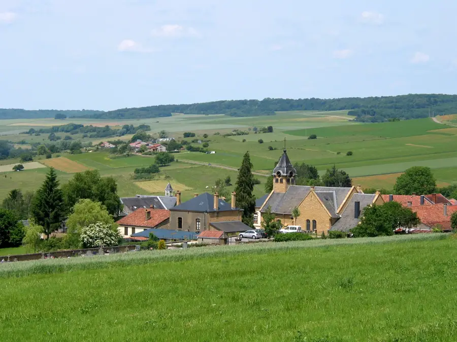
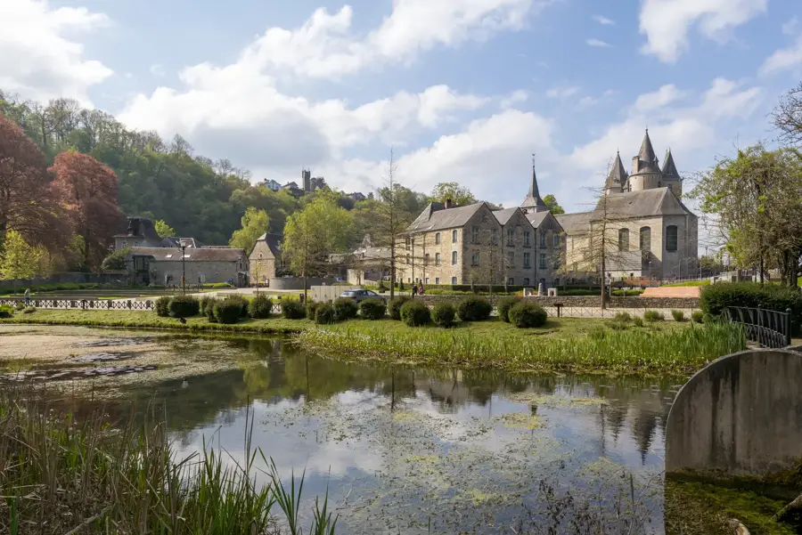
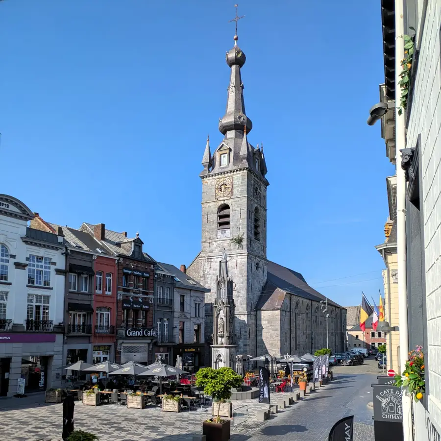
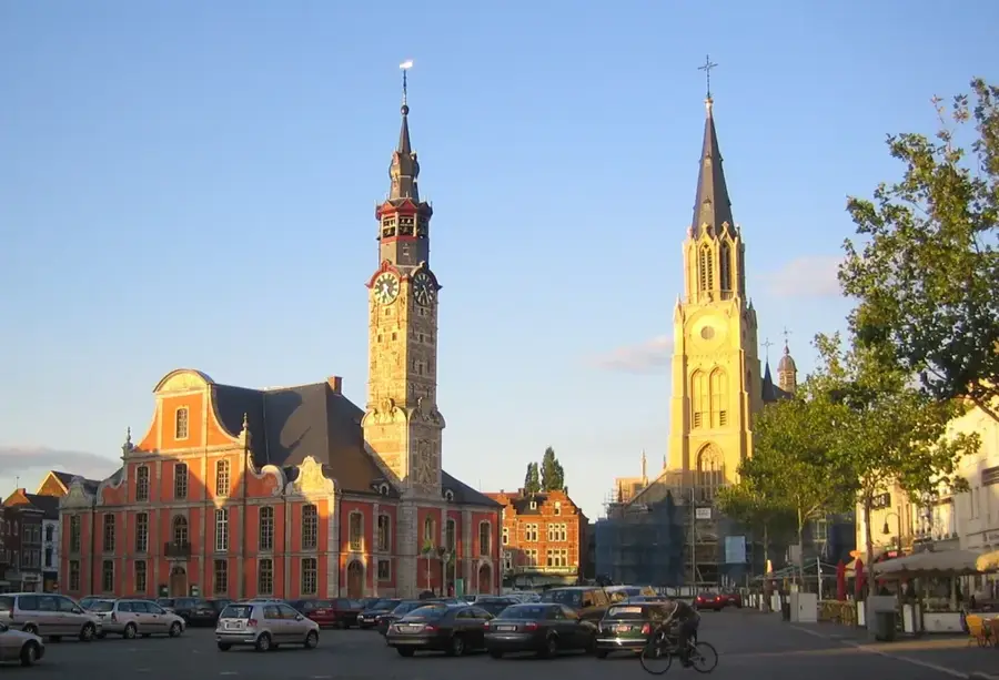
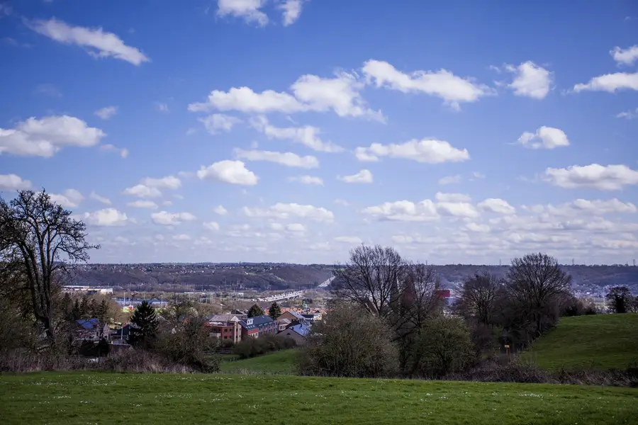
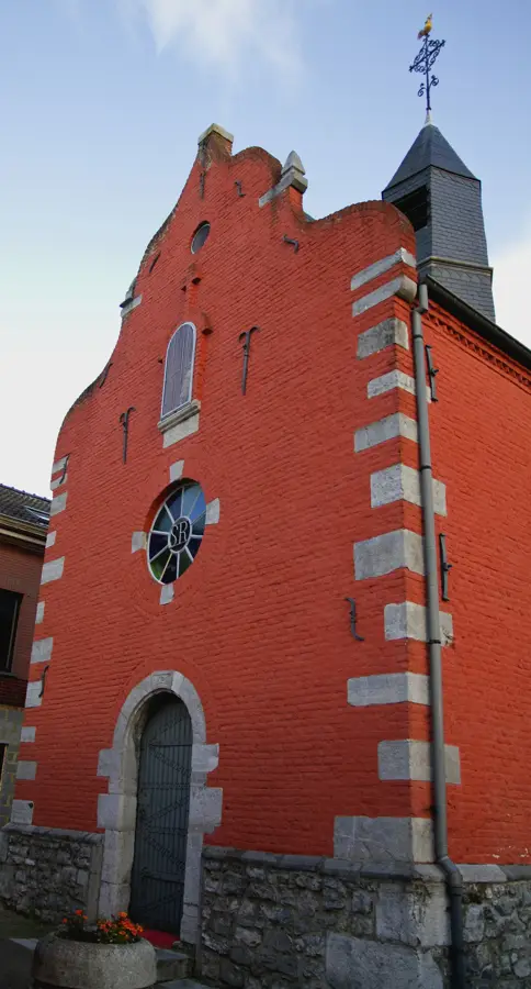
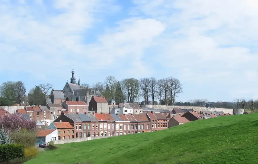
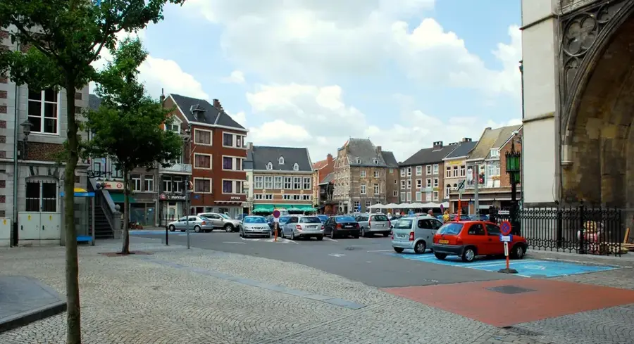
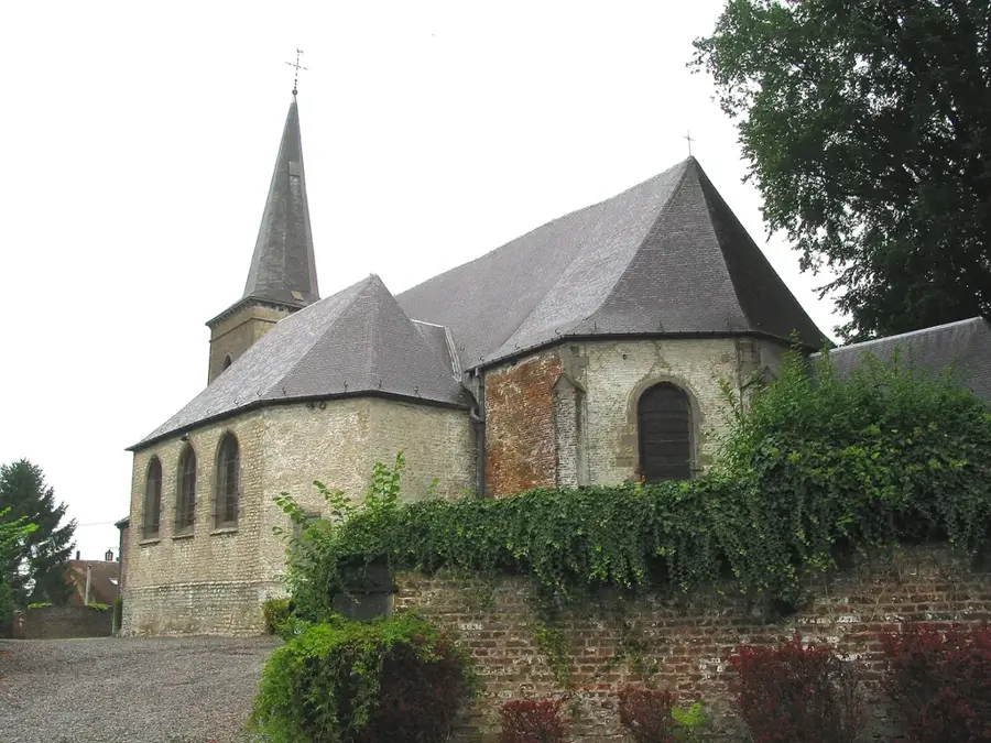
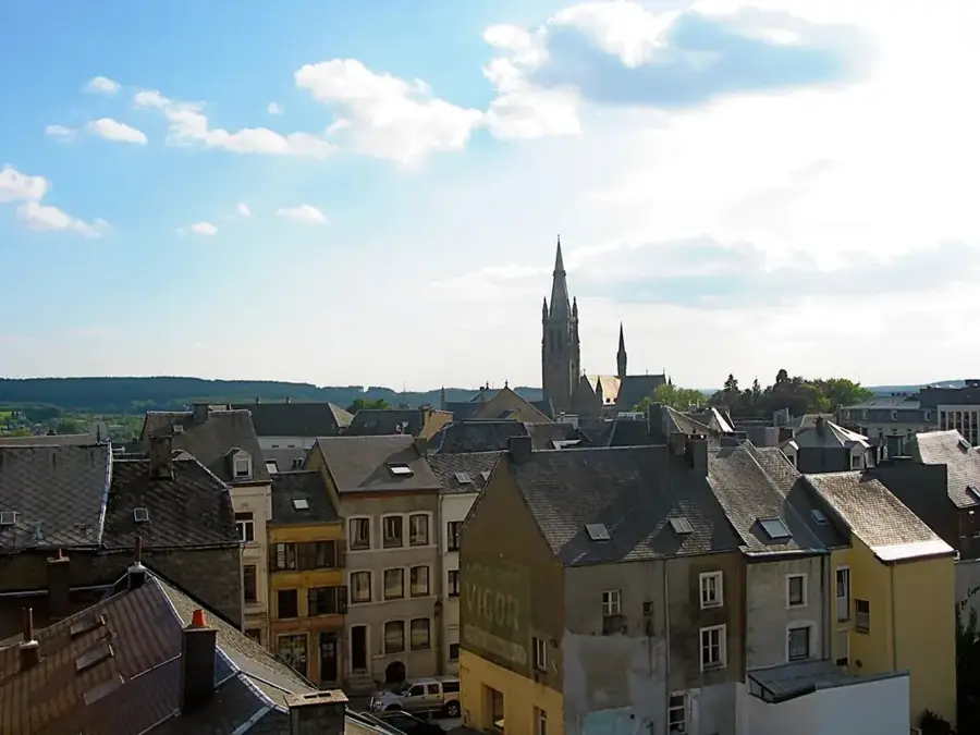
The Gaume region is located in the extreme south of Belgium and forms the French-speaking part of Belgian Lorraine. Geographically, it differs significantly from the adjacent Ardennes to the north due to its gentler hills and warmer microclimate, which has earned it the nickname 'Belgian Provence'. The landscape is characterized by the cuesta relief forms of the Bajocian and Sinemurian periods, composed of limestone that favors specific, warmth-loving flora. Historically, Virton serves as the cultural and economic center of the region. Gaume is known for its rich traditions, reflected in the local dialect (Gaumais) and yellow sandstone architecture. A major landmark of the region is Orval Abbey, world-renowned not only for its 12th-century ruins but also for its famous Trappist beer. Agriculture is dominated by viticulture and livestock farming, with the calcareous soils providing good conditions for cultivating certain grape varieties. Ecologically, Gaume hosts numerous nature reserves with rare orchid species and insects that could not survive in the harsher climate of the Ardennes. The region is also a popular destination for hikers, featuring the Semois river valley and extensive forested areas.
- Location: Belgium
- Top sights: Château Renaud · Pas Bayard · Le Trou des Fées
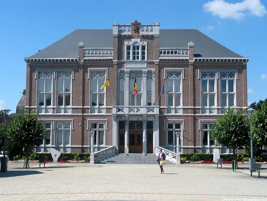
- Nearby: Virton (5 km)
Best time to visit & climate
The most pleasant time to visit is Jun–Aug.
| Jan | Feb | Mar | Apr | May | Jun | Jul | Aug | Sep | Oct | Nov | Dec | |
|---|---|---|---|---|---|---|---|---|---|---|---|---|
| Avg °C | 1 | 1 | 5 | 9 | 13 | 16 | 19 | 18 | 14 | 10 | 5 | 2 |
| Rain mm | 78 | 66 | 65 | 50 | 73 | 70 | 69 | 77 | 58 | 71 | 75 | 89 |
📋 Practical info
Geography
Facts
- Virton is the most important town and administrative center of Gaume.
- The region possesses the mildest climate in all of Belgium.
- Geologically, the area belongs to the Paris Basin rather than the Ardennes.
- The 11th-century Orval Abbey is located in the heart of this region.
- The local dialect 'Gaumais' is a variant of the Lorrain language.
- The typical building material is a characteristic yellow calcarenite stone.
Explore nearby
Notable places around
Route planner — Car & Motorhome
Where do you start? We build the route here, with stops and country notes along the way.
© OpenStreetMap contributors · OpenRouteService
Sights in the town Gaume Region (3)
Sights nearby
Frequently asked questions
Where is the Gaume region located?
Why is it called 'Belgian Provence'?
What is the most famous sight?
What language is spoken here?
Which town is the capital of Gaume?
Gaume Region: where is it located?
Gaume Region: what is there to see?
Gaume Region: when is the best time to visit?
Gaume Region: why is it worth visiting?

Nearby cities

History & landmarks