Plizio Visual Lab
Gaume Cuesta
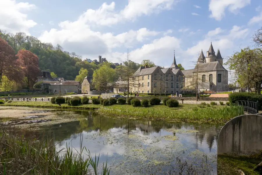
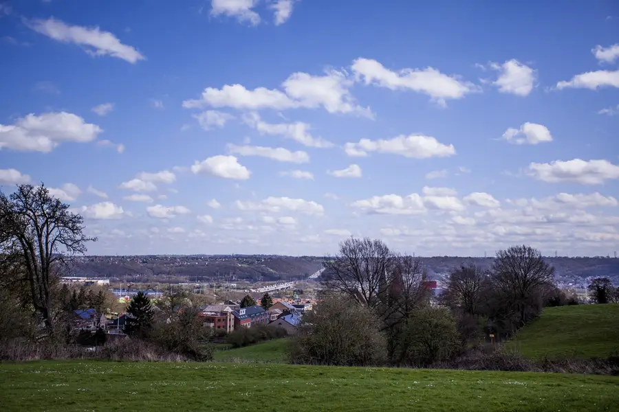
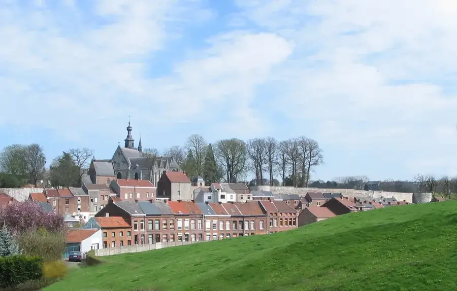
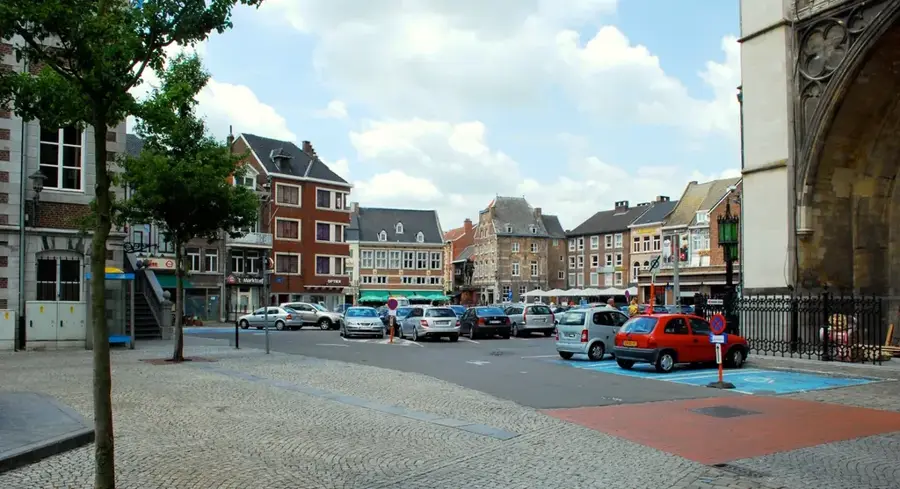
The Gaume Cuesta is a characteristic cuestas landscape in the far south of Belgium, in the Belgian Lorraine region. This geomorphological formation consists of three parallel ridges created by the differential erosion of alternating hard limestone and soft sandstone or clay layers dating from the Jurassic period. The northern slopes are gentle, while the southern faces often rise steeply, a classic feature of cuestas. The Gaume region is noted for its milder microclimate compared to the Ardennes to the north, which favors agriculture and even local viticulture. Geologically, it is closely connected to the Paris Basin. Historically, the area's iron ore deposits made it an early site for the iron industry. Today, Gaume is famous for its photogenic villages like Torgny, often referred to as the 'Belgian Provence,' and for the rich biodiversity found in its calcareous grasslands. The preservation of this unique cultural landscape is supported by several nature conservation projects.
- Location: Belgium
- Nearby: Virton (4 km)
Best time to visit & climate
The most pleasant time to visit is Jun–Aug.
| Jan | Feb | Mar | Apr | May | Jun | Jul | Aug | Sep | Oct | Nov | Dec | |
|---|---|---|---|---|---|---|---|---|---|---|---|---|
| Avg °C | 1 | 1 | 5 | 9 | 13 | 16 | 19 | 18 | 14 | 10 | 5 | 2 |
| Rain mm | 78 | 66 | 65 | 50 | 73 | 70 | 69 | 77 | 58 | 71 | 75 | 89 |
📋 Practical info
Geography
Facts
- There are three distinct Jurassic cuesta ridges in the Gaume region.
- The highest elevation in the region is approximately 400 meters.
- Torgny is the southernmost village in Belgium and is known for its vineyards.
- The geological layers belong to the Bajocian, Sinemurian, and Virtonian stages.
- The iron industry flourished here as early as the 17th and 18th centuries.
- The microclimate supports plant species typically found in the Mediterranean region.
Explore nearby
Notable places around
Route planner — Car & Motorhome
Where do you start? We build the route here, with stops and country notes along the way.
© OpenStreetMap contributors · OpenRouteService
Sights in the town Gaume Cuesta (1)
Sights nearby
Frequently asked questions
What is a 'Cuesta'?
Why is the Gaume also called 'Belgian Lorraine'?
What is the most important attraction in the Gaume?
What language is spoken in the Gaume?
Is the region suitable for hiking?
Gaume Cuesta: where is it located?
Gaume Cuesta: when is the best time to visit?
Gaume Cuesta: why is it worth visiting?

Nearby cities

History & landmarks