Plizio Visual Lab
Famenne Depression

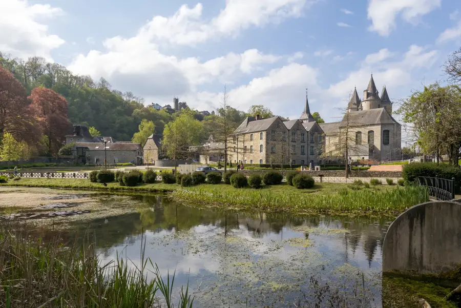
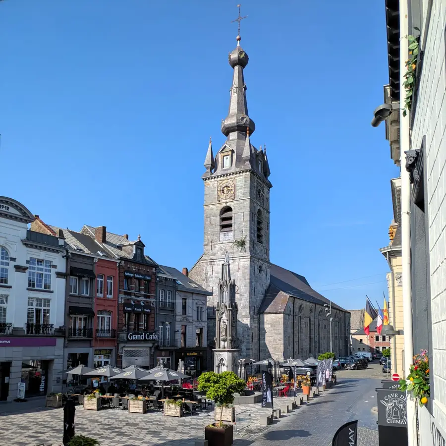
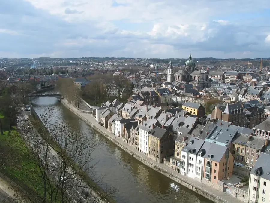
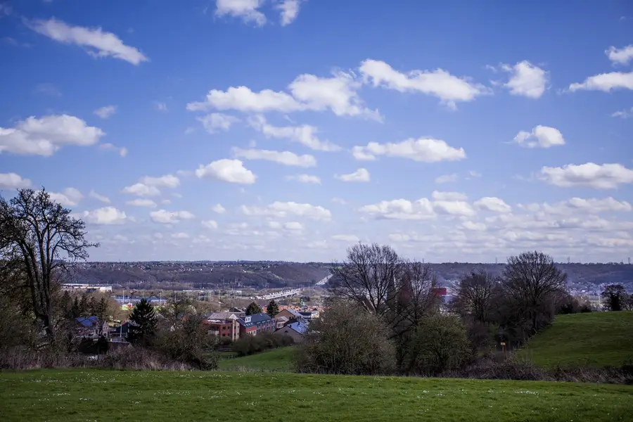
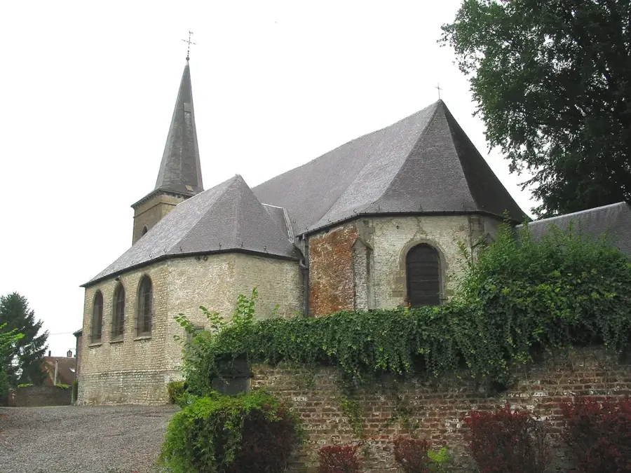
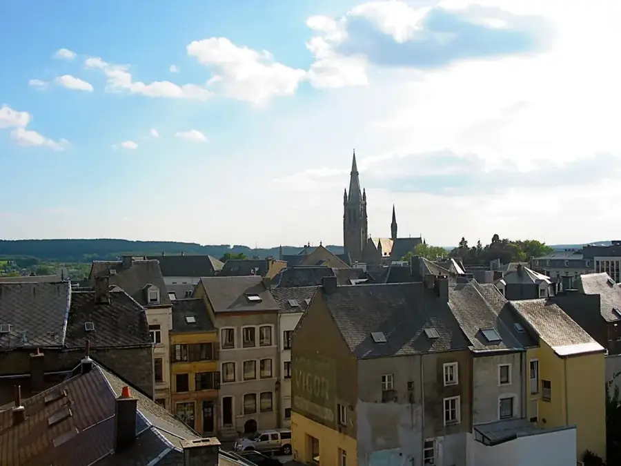
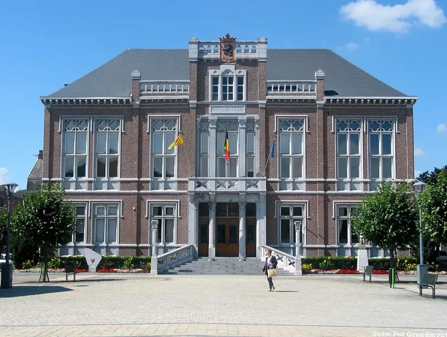
The Famenne Depression forms a prominent topographic basin in Wallonia, acting as a natural transition zone between the fertile Condroz Plateau and the rugged slopes of the Ardennes. With an average elevation of 150 to 200 meters, it sits significantly lower than its neighboring regions. Its bedrock consists predominantly of soft shales dating from the Upper Devonian period, resulting in generally poorly drained, moist soils. These geological conditions make the region less suited for intensive arable farming, leading to a landscape dominated instead by livestock grazing and expansive mixed forests. The Famenne is internationally renowned for the spectacular subterranean karst networks found along its border with the Calestienne, most notably the famous Caves of Han-sur-Lesse. Towns like Marche-en-Famenne act as the economic hubs for this relatively sparsely populated yet geologically fascinating lowland.
- Location: Belgium
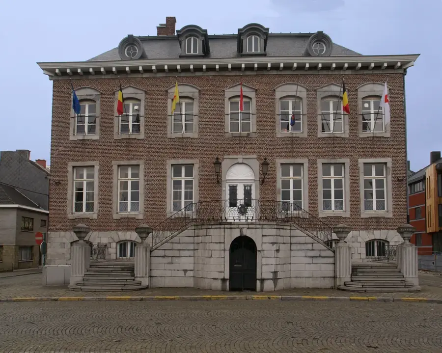
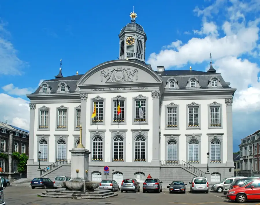
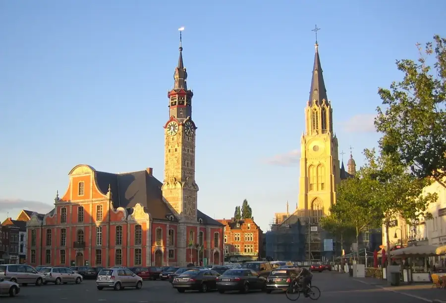
- Nearby: Marche-en-Famenne (10 km)
Best time to visit & climate
The most pleasant time to visit is Jun–Aug.
| Jan | Feb | Mar | Apr | May | Jun | Jul | Aug | Sep | Oct | Nov | Dec | |
|---|---|---|---|---|---|---|---|---|---|---|---|---|
| Avg °C | 0 | 1 | 4 | 8 | 12 | 16 | 18 | 17 | 13 | 9 | 5 | 1 |
| Rain mm | 84 | 73 | 69 | 52 | 76 | 76 | 76 | 85 | 60 | 72 | 79 | 93 |
📋 Practical info
Geography
Explore nearby
Notable places around
Route planner — Car & Motorhome
Where do you start? We build the route here, with stops and country notes along the way.
© OpenStreetMap contributors · OpenRouteService
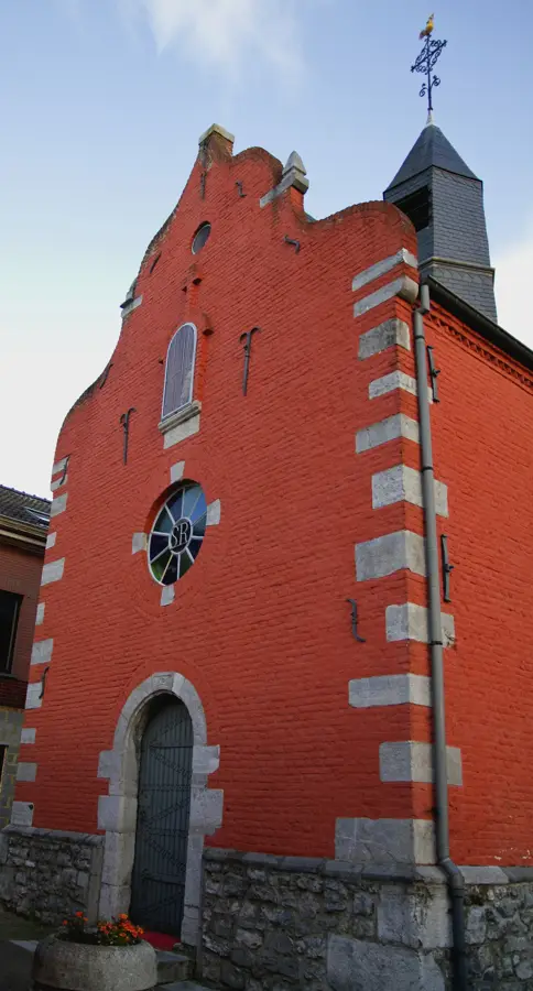
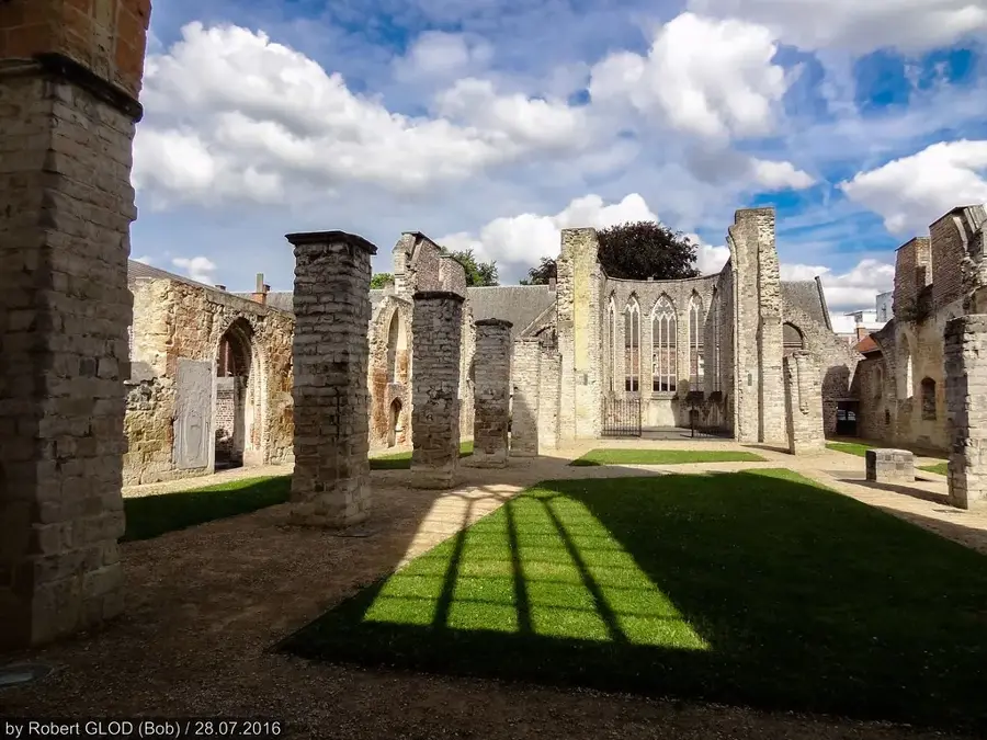
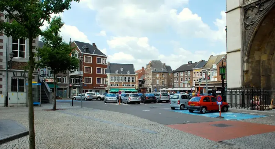
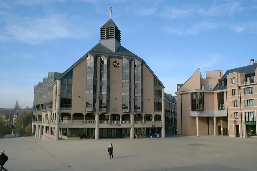
Sights nearby
Frequently asked questions
What is the Famenne depression?
Which caves are the most famous?
Which town is the center of the Famenne?
What is the Famenne-Ardenne Geopark?
Can you see wildlife there?
Famenne Depression: where is it located?
Famenne Depression: when is the best time to visit?
Famenne Depression: why is it worth visiting?

Nearby cities


History & landmarks