Plizio Visual Lab
Mayak Hill

Weather…
Water temperature…
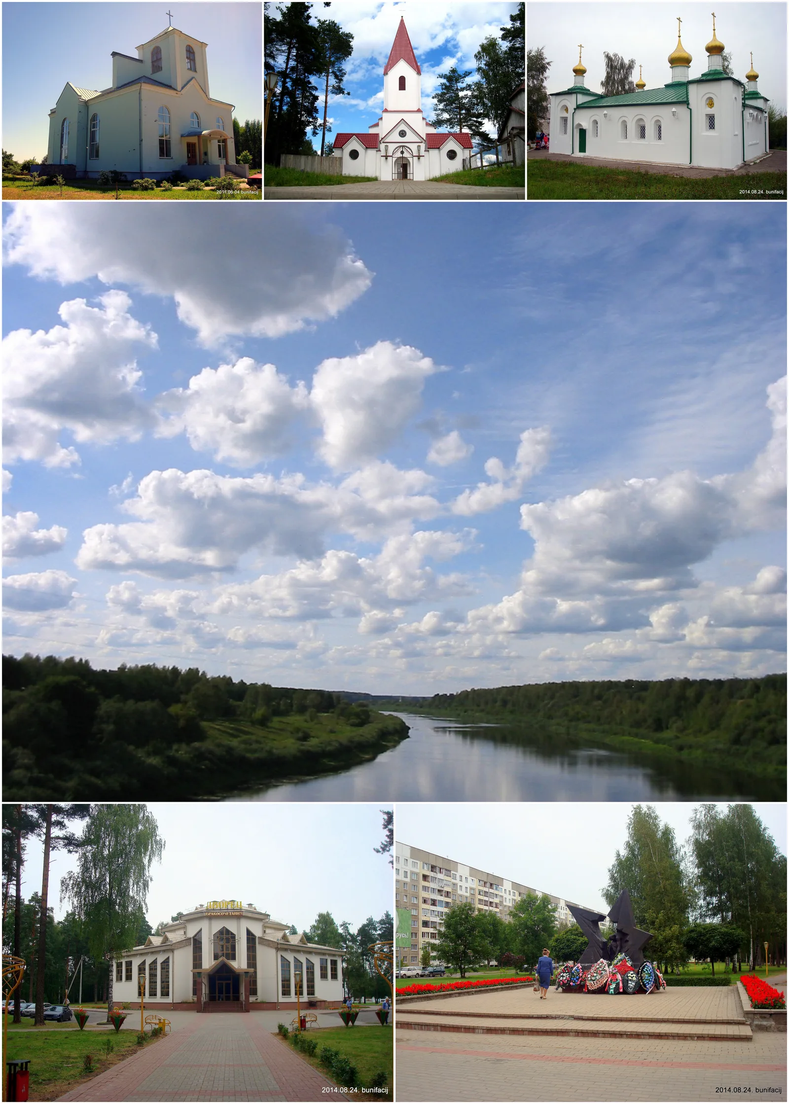
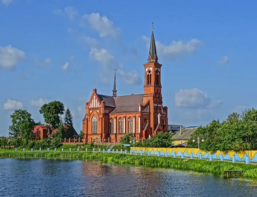
Mayak Hill, meaning Lighthouse Hill, is located in the Vitebsk Region and stands as one of the most iconic and prominent landforms within the Braslaw Lakes National Park at 174 meters above sea level. While its absolute elevation is moderate, it has a relative height of 44.7 meters above the surrounding lake water levels, making it an extraordinary vantage point. Geomorphologically, it is classified as a kame hill, formed approximately 14,000 to 15,000 years ago during the late stages of the last glaciation by accumulations of sand and gravel from glacial meltwater. The hill is picturesquely flanked by Lake Strusta to the south and Lake Snudy to the north, offering a sweeping 360-degree panorama of the complex lake system and its numerous islands. It acquired the name 'Lighthouse' in the late 19th or early 20th century because a tall wooden geodesic tower was erected on its summit for surveying purposes.
- Location: Belarus
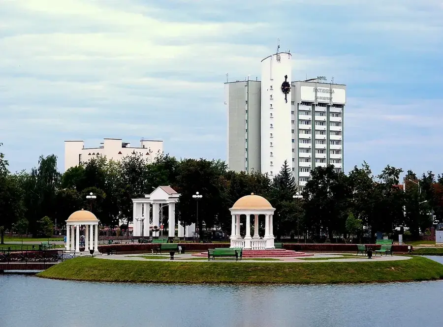
- Nearby: Braslaw (5 km)
Best time to visit & climate
The most pleasant time to visit is Jun–Aug.
| Jan | Feb | Mar | Apr | May | Jun | Jul | Aug | Sep | Oct | Nov | Dec | |
|---|---|---|---|---|---|---|---|---|---|---|---|---|
| Avg °C | -8 | -7 | -1 | 6 | 12 | 16 | 19 | 17 | 12 | 6 | 1 | -4 |
| Rain mm | 49 | 43 | 43 | 48 | 76 | 82 | 103 | 84 | 57 | 72 | 59 | 52 |
📋 Practical info
Geography
Explore nearby
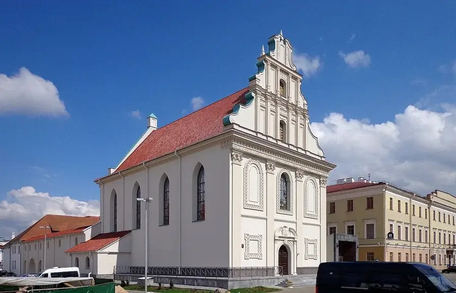
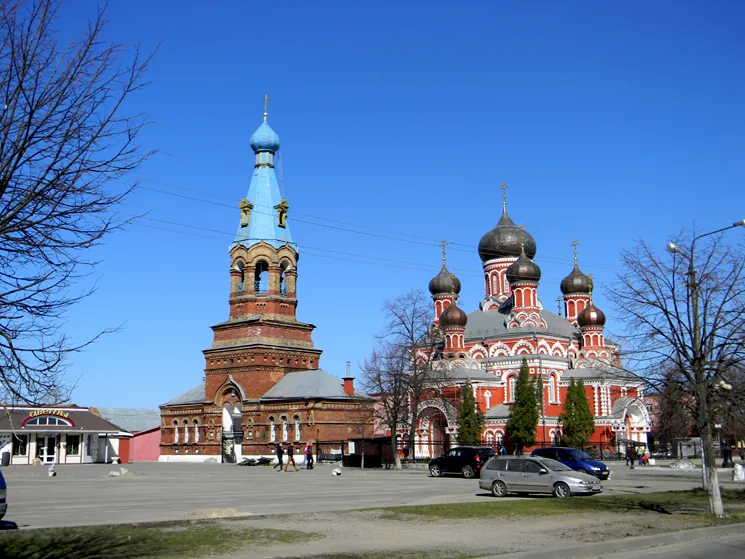
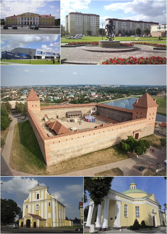
Notable places around
Route planner — Car & Motorhome
Where do you start? We build the route here, with stops and country notes along the way.
© OpenStreetMap contributors · OpenRouteService
Sights nearby
Frequently asked questions
Does the hill offer a good view?
How high is Mayak Hill?
Do you have to pay admission?
How do you reach the summit?
Which lakes can be seen from the top?
Mayak Hill: where is it located?
Mayak Hill: when is the best time to visit?
Mayak Hill: why is it worth visiting?

Nearby cities