Plizio Visual Lab
Hayr Shariyah

Weather…
Water temperature…
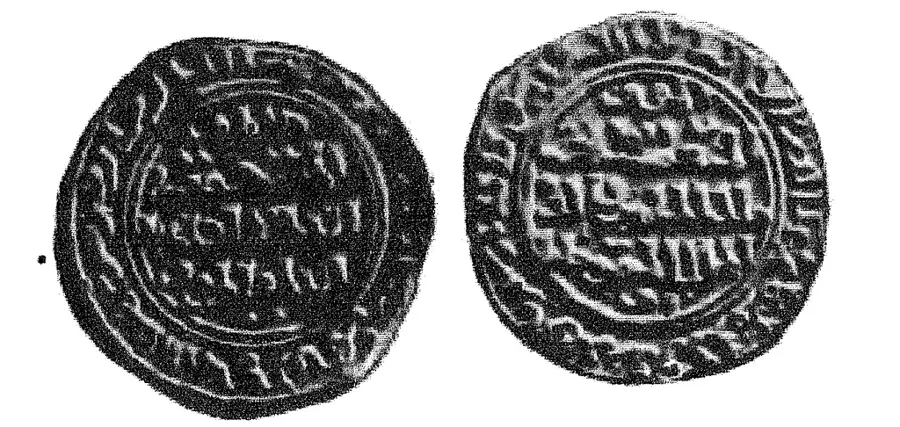
Hayr Shariyah is a cornerstone of Bahrain's maritime identity, serving as a vital underwater segment of the UNESCO-listed pearling path. For centuries, these extensive oyster beds were the primary source of wealth for the region, long before the advent of the oil industry. The warm, nutrient-rich waters of the Arabian Gulf provide the excellent habitat for the Pinctada radiata oysters, which produced some of the world's finest natural pearls. Beyond its economic history, the site is an important marine conservation area, protecting the delicate seafloor ecosystems. Preserving this site allows the story of the traditional pearl divers, who worked under extreme conditions, to be told within its original context. As a World Heritage site, it bridges the gap between Bahrain's ancient seafaring traditions and modern environmental stewardship, ensuring the legacy of the 'Islands of Pearls' endures.
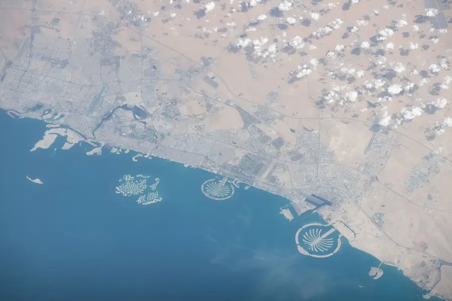
- Location: Bahrain
- Nearby: Samaheej (29 km)
Best time to visit & climate
The most pleasant time to visit is Feb, Mar, Dec.
| Jan | Feb | Mar | Apr | May | Jun | Jul | Aug | Sep | Oct | Nov | Dec | |
|---|---|---|---|---|---|---|---|---|---|---|---|---|
| Avg °C | 19 | 19 | 21 | 24 | 28 | 31 | 33 | 34 | 33 | 30 | 26 | 22 |
| Rain mm | 16 | 11 | 9 | 8 | 1 | 0 | 0 | 0 | 0 | 2 | 14 | 20 |
📋 Practical info
Geography
Facts
- The island covers 0.1 km².
- The reefs host 50 coral species.
- Underwater visibility reaches up to 20 m.
- There are 80 fish species around the island.
- Water temperature in winter is 20°C.
- The island is located 2 km east of Fasht al Dibal.
Explore nearby
Notable places around
Route planner — Car & Motorhome
Where do you start? We build the route here, with stops and country notes along the way.
© OpenStreetMap contributors · OpenRouteService
Sights nearby
Frequently asked questions
What does 'Hayr' mean?
Where is Hayr Shariyah located?
Is pearl diving allowed there?
How deep is the water there?
Is the water clear there?
Hayr Shariyah: where is it located?
Hayr Shariyah: when is the best time to visit?
Hayr Shariyah: why is it worth visiting?

History & landmarks


Nature


More places
