Plizio Visual Lab
Jazirat Mashtan

Weather…
Water temperature…
Jazirat Mashtan is a small uninhabited island off the northeast coast of Bahrain, approximately 2 km east of Sitra Island. It falls under the Southern Governorate and spans an area of about 0.3 km². The island's bedrock consists predominantly of limestone and sand deposits, shaped by Holocene sea-level changes. Its maximum elevation is only 4 meters above sea level, making it highly susceptible to coastal erosion. The island serves as a crucial stopover for migratory birds such as flamingos and terns. Although never permanently settled, archaeological surveys have uncovered pottery fragments from the Dilmun period (c. 2000 BC), suggesting temporary use by fishermen. Today, Jazirat Mashtan is part of a marine conservation area aimed at protecting regional biodiversity.
- Location: Bahrain
- Top sights: Sitra · Al Dar Island
- Nearby: Sitra (6 km)
Best time to visit & climate
The most pleasant time to visit is Feb, Mar, Dec.
| Jan | Feb | Mar | Apr | May | Jun | Jul | Aug | Sep | Oct | Nov | Dec | |
|---|---|---|---|---|---|---|---|---|---|---|---|---|
| Avg °C | 18 | 18 | 21 | 25 | 30 | 33 | 35 | 35 | 34 | 30 | 25 | 20 |
| Rain mm | 7 | 5 | 3 | 4 | 0 | 0 | 0 | 1 | 0 | 1 | 10 | 8 |
📋 Practical info
Geography
Facts
- Area: 0.3 km²
- Maximum elevation: 4 m above sea level
- Distance from Sitra Island: 2 km east
- Geological formation: Holocene limestone and sand deposits
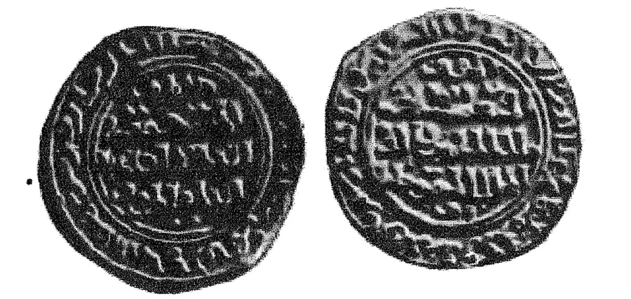
- Archaeological finds: Dilmun-era pottery (c. 2000 BC)
- Protected status: part of a marine conservation area
Explore nearby
Notable places around
Route planner — Car & Motorhome
Where do you start? We build the route here, with stops and country notes along the way.
© OpenStreetMap contributors · OpenRouteService
Sights in the town Jazirat Mashtan (2)
Sights nearby
Frequently asked questions
What is Jazirat Mashtan?
Is the island protected?
Can you go birdwatching?
Is landing on the island allowed?
What makes its ecosystem special?
Jazirat Mashtan: where is it located?
Jazirat Mashtan: what is there to see?
Jazirat Mashtan: when is the best time to visit?
Jazirat Mashtan: why is it worth visiting?

History & landmarks

Nature


More places
