Plizio Visual Lab
Jaradah
Weather…
Water temperature…
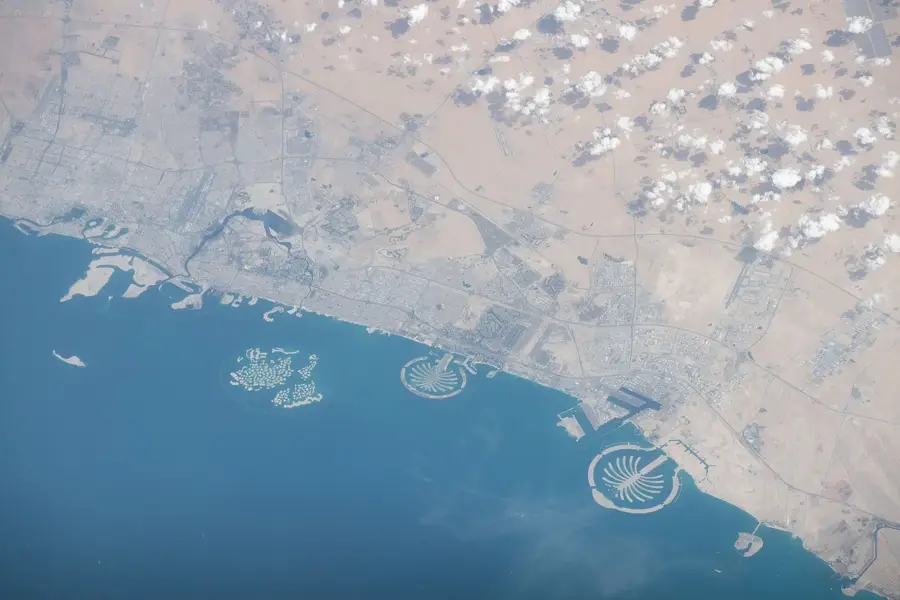
Jaradah is a captivating natural phenomenon located in the Persian Gulf, situated to the east of Bahrain’s main island. It is a dynamic tidal sandbank that emerges from the turquoise waters only during low tide, briefly existing as a pristine, secluded island. Renowned for its exceptionally crystal-clear waters and powdery white sand, the site is a favored destination for boaters seeking a tranquil escape from the urban environment of Manama. Geomorphologically, Jaradah serves as a prime example of a shifting coastal landform, constantly reshaped by the ebb and flow of tides and localized sea currents. With no permanent vegetation or infrastructure, the island retains a raw, untouched aesthetic that appeals to nature lovers and beach enthusiasts alike. Standing on this narrow strip of land surrounded by the vast sea provides a unique sense of isolation and beauty, illustrating the delicate and ever-changing boundary between the terrestrial and marine worlds in the Gulf region, where the land is literally reclaimed by the sea twice a day.
- Location: Bahrain
- Nearby: Al Hidd (17 km)
Best time to visit & climate
The most pleasant time to visit is Feb, Mar, Dec.
| Jan | Feb | Mar | Apr | May | Jun | Jul | Aug | Sep | Oct | Nov | Dec | |
|---|---|---|---|---|---|---|---|---|---|---|---|---|
| Avg °C | 18 | 19 | 22 | 26 | 30 | 33 | 35 | 35 | 33 | 30 | 26 | 21 |
| Rain mm | 10 | 7 | 6 | 6 | 0 | 0 | 0 | 1 | 0 | 2 | 11 | 12 |
📋 Practical info
Geography
Facts
- Area: 0.05 km²
- Max elevation: 1 m
- Diameter: 200 m
- Average depth: 0.5 m
- Bird species: 6
- Distance from Hawar: 4 km
Explore nearby
Notable places around
Route planner — Car & Motorhome
Where do you start? We build the route here, with stops and country notes along the way.
© OpenStreetMap contributors · OpenRouteService
Sights nearby
Frequently asked questions
What makes Jaradah Island so special?
When should you visit the island?
What is the water like there?
Are there any facilities there?
How to get to Jaradah?
Jaradah: where is it located?
Jaradah: when is the best time to visit?
Jaradah: why is it worth visiting?

History & landmarks


Nature


More places
