Plizio Visual Lab
Ras Abu Jarjur

Ras Abu Jarjur is a prominent cape situated on the eastern coastline of Bahrain, south of the industrial island of Sitra. Topographically, the area is a low-lying headland characterized by limestone flats and sandy stretches that are typical of the kingdom's eastern littoral. The site is best known for housing the Ras Abu Jarjur Desalination Plant, a critical piece of national infrastructure that uses reverse osmosis to provide a significant portion of the country's potable water. While the landscape is heavily influenced by industrial development and technical facilities, the cape remains a strategic geographical marker along the coast. The surrounding waters are shallow, reflecting the typical seabed profile of the Persian Gulf in this region. Ras Abu Jarjur stands as a symbol of Bahrain's commitment to securing its water resources through technological innovation, effectively utilizing its coastal geography to meet the demands of a growing population in an arid environment.
- Location: Bahrain
- Nearby: Sitra (6 km)
Best time to visit & climate
The most pleasant time to visit is Feb, Mar, Dec.
| Jan | Feb | Mar | Apr | May | Jun | Jul | Aug | Sep | Oct | Nov | Dec | |
|---|---|---|---|---|---|---|---|---|---|---|---|---|
| Avg °C | 18 | 18 | 21 | 25 | 30 | 33 | 35 | 35 | 34 | 30 | 25 | 20 |
| Rain mm | 7 | 5 | 3 | 4 | 0 | 0 | 0 | 1 | 0 | 1 | 10 | 8 |
📋 Practical info
Geography
Facts
- Length: 2 km
- Area: 0.5 km²
- Max elevation: 1 m
- Distance from Al-Hadd: 1 km
- Bird species: 20
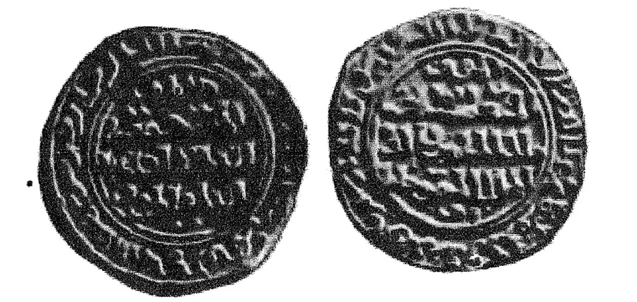
- Pottery fragments found: >100
Explore nearby
Notable places around
Route planner — Car & Motorhome
Where do you start? We build the route here, with stops and country notes along the way.
© OpenStreetMap contributors · OpenRouteService
Sights nearby
Frequently asked questions
What can be found at Ras Abu Jarjur?
Is the beach accessible?
Can you fish there?
Are there hotels there?
How to reach the spot?
Ras Abu Jarjur: where is it located?
Ras Abu Jarjur: when is the best time to visit?
Ras Abu Jarjur: why is it worth visiting?

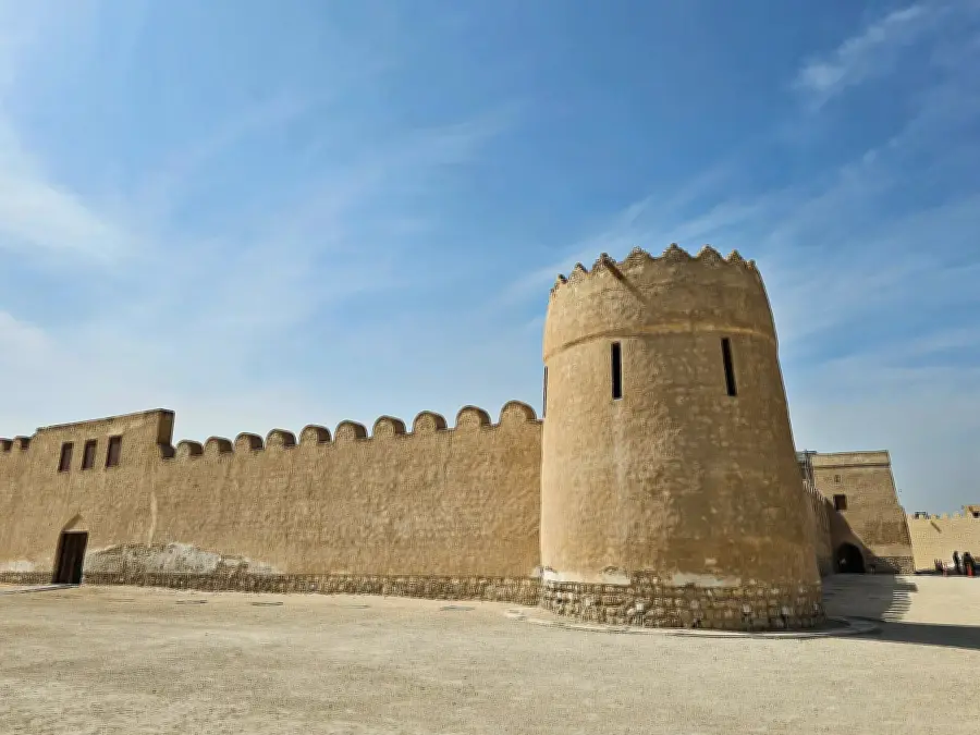
History & landmarks


Nature


More places
