Plizio Visual Lab
Fasht al-Azm

Weather…
Water temperature…
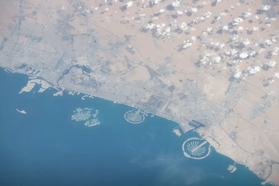
Fasht al-Azm is a remarkable geological formation in the Persian Gulf, stretching as a massive sandbank between the coasts of Bahrain and Qatar. Covering an area of several hundred square kilometers, it constitutes one of the largest natural marine relief forms in the region. The water depth in this area is extremely shallow, causing vast stretches of sand to be exposed during low tide, creating a unique coastal landscape. Historically, the sandbank served as a critical navigation landmark for pearl divers, while today it is recognized as one of the most important spawning grounds for fish and shrimp. The ecological significance of Fasht al-Azm is immense, as the shallow, warm waters support high biodiversity, including vital seagrass meadows and coral patches. Despite the proximity to major modern infrastructure projects, the sandbank remains a largely pristine natural phenomenon, illustrating the dynamic current patterns and sediment deposition processes within the Gulf.
- Location: Bahrain
- Nearby: Al Hidd (13 km)
Best time to visit & climate
The most pleasant time to visit is Feb, Mar, Dec.
| Jan | Feb | Mar | Apr | May | Jun | Jul | Aug | Sep | Oct | Nov | Dec | |
|---|---|---|---|---|---|---|---|---|---|---|---|---|
| Avg °C | 18 | 19 | 22 | 26 | 30 | 33 | 35 | 35 | 33 | 30 | 26 | 21 |
| Rain mm | 10 | 7 | 6 | 6 | 0 | 0 | 0 | 1 | 0 | 2 | 11 | 12 |
📋 Practical info
Geography
Facts
- Area: 0.5 km²
- Average depth: 2 m
- Exposed at low tide: 1 m high
- Coral species: 15
- Sea turtle species: 2
- Distance from Hawar: 2 km
Explore nearby
Notable places around
Route planner — Car & Motorhome
Where do you start? We build the route here, with stops and country notes along the way.
© OpenStreetMap contributors · OpenRouteService
Sights nearby
Frequently asked questions
What is Fasht al-Azm?
Is it suitable for diving?
How large is the reef?
Is the reef protected?
Can you fish there?
Fasht al-Azm: where is it located?
Fasht al-Azm: when is the best time to visit?
Fasht al-Azm: why is it worth visiting?

History & landmarks


Nature


More places
