Plizio Visual Lab
Ras Hayyan

Weather…
Water temperature…
Ras Hayyan is an ecological treasure on the eastern coast of Bahrain, standing in stark contrast to the country's arid desert landscapes. This cape is particularly renowned for its flourishing mangrove forests that thrive in the shallow, nutrient-rich coastal waters. These mangroves serve as a critical nursery for marine life and act as a natural defense against coastal erosion, making the area vital for the island's environmental health. For birdwatchers, Ras Hayyan is a sanctuary, attracting numerous species of migratory birds that stop here to feed and rest among the salt marshes and mudflats during the winter months. The area provides a rare glimpse into a pristine coastal ecosystem where the tides dictate the rhythm of life for various crustacean and avian species. As one of the few remaining significant mangrove sites in Bahrain, Ras Hayyan is a priority for conservation efforts and provides an important educational space for understanding the delicate balance of the Gulf's coastal biodiversity.
- Location: Bahrain
- Nearby: Jaww (5 km)
Best time to visit & climate
The most pleasant time to visit is Feb, Mar, Dec.
| Jan | Feb | Mar | Apr | May | Jun | Jul | Aug | Sep | Oct | Nov | Dec | |
|---|---|---|---|---|---|---|---|---|---|---|---|---|
| Avg °C | 18 | 18 | 21 | 25 | 30 | 33 | 35 | 35 | 34 | 30 | 25 | 20 |
| Rain mm | 7 | 5 | 3 | 4 | 0 | 0 | 0 | 1 | 0 | 1 | 10 | 8 |
📋 Practical info
Geography
Facts
- Coastline: 1.5 km.
- Cliff height: up to 10 m.
- Settlement remains date to the 3rd millennium BC.
- 50 archaeological artifacts were found.
- The headland is located 3 km northwest of Budaiya.
- Annual visitors: about 5,000.
Explore nearby
Notable places around
Route planner — Car & Motorhome
Where do you start? We build the route here, with stops and country notes along the way.
© OpenStreetMap contributors · OpenRouteService
Sights nearby
Frequently asked questions
What is Ras Hayyan known for?
Can you go birdwatching?
Is a permit required for visiting?
Are kayak tours available?
What is the ground like?
Ras Hayyan: where is it located?
Ras Hayyan: when is the best time to visit?
Ras Hayyan: why is it worth visiting?

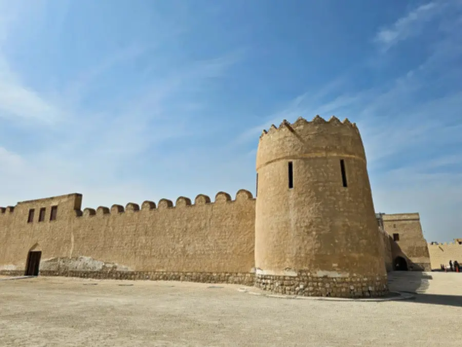
History & landmarks

Nature


More places
