Plizio Visual Lab
Ötztal
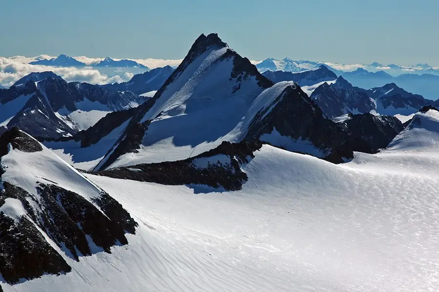
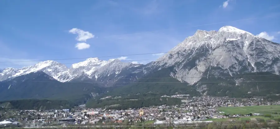
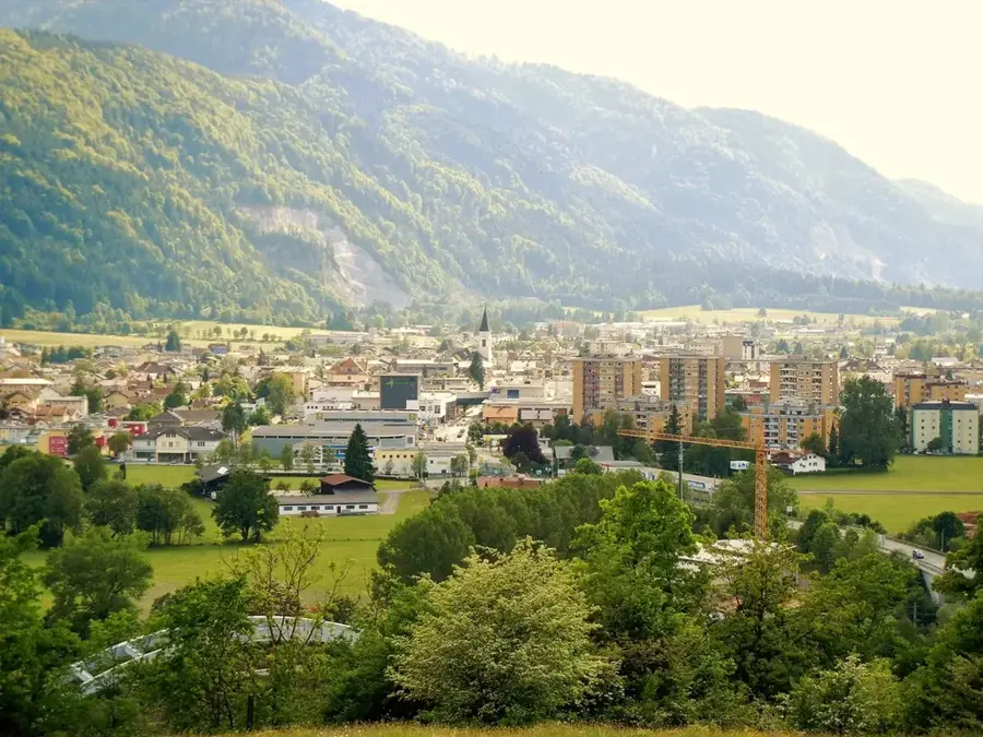
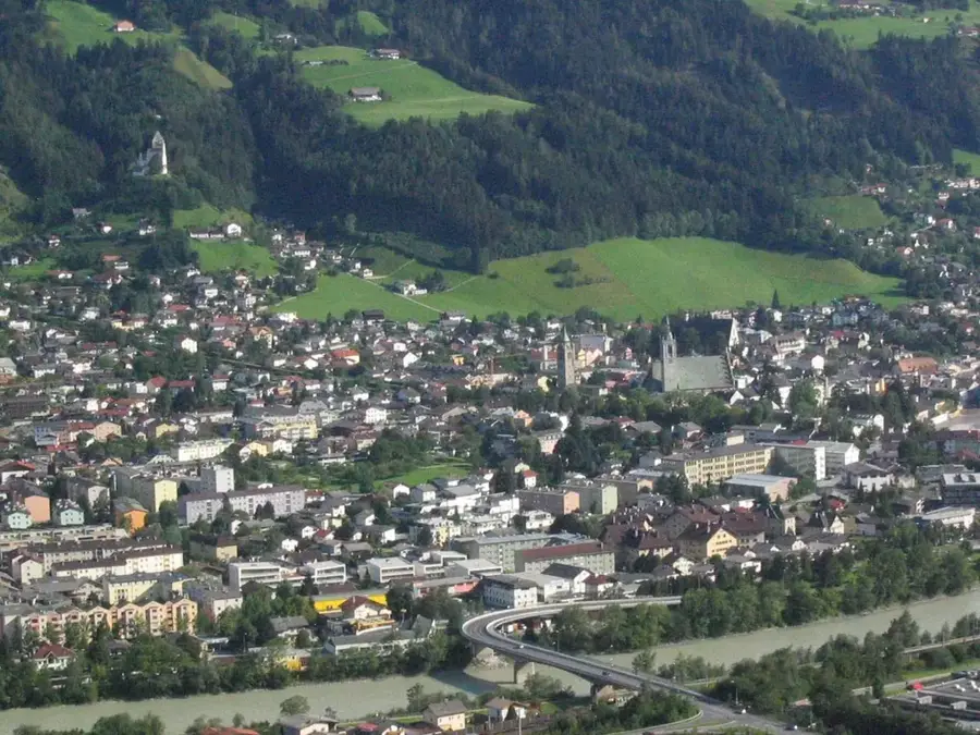
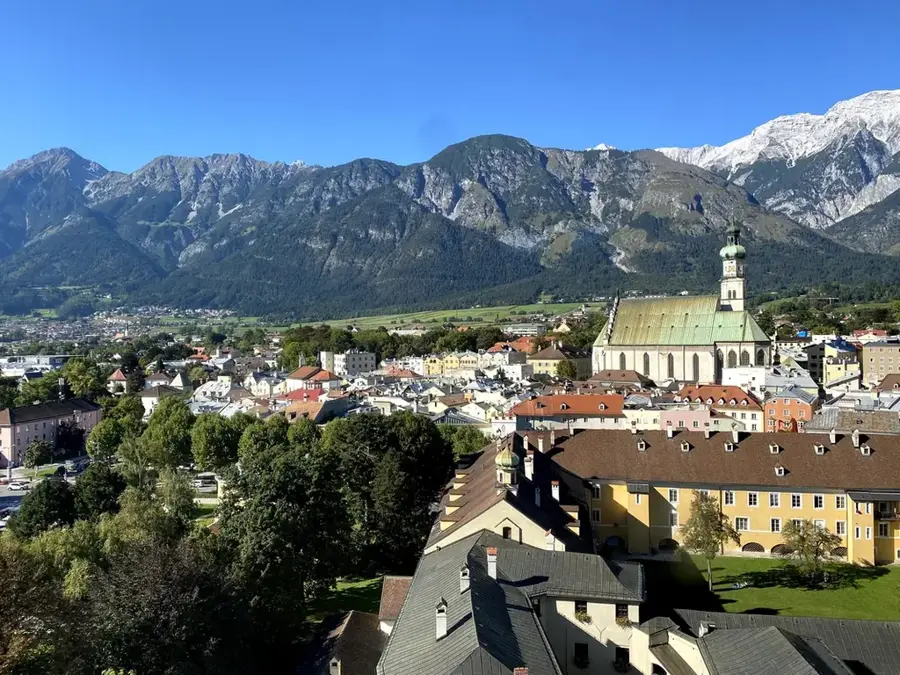
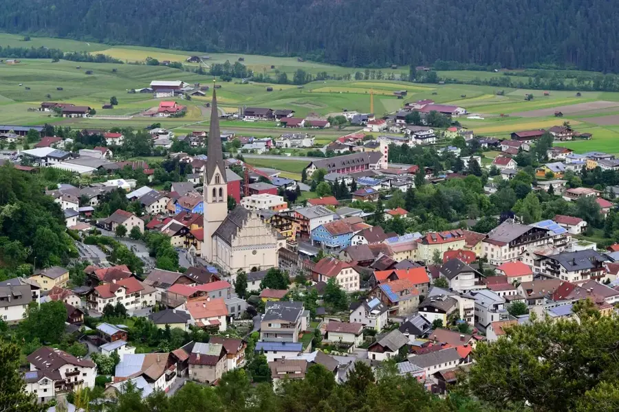
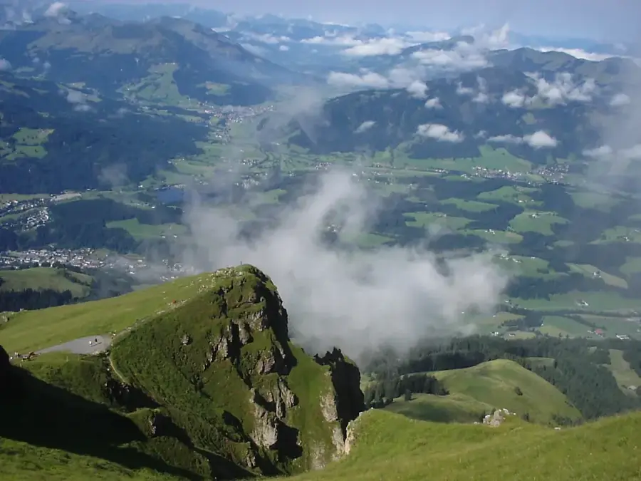
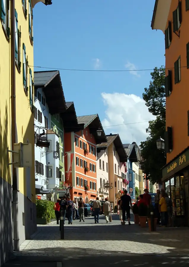
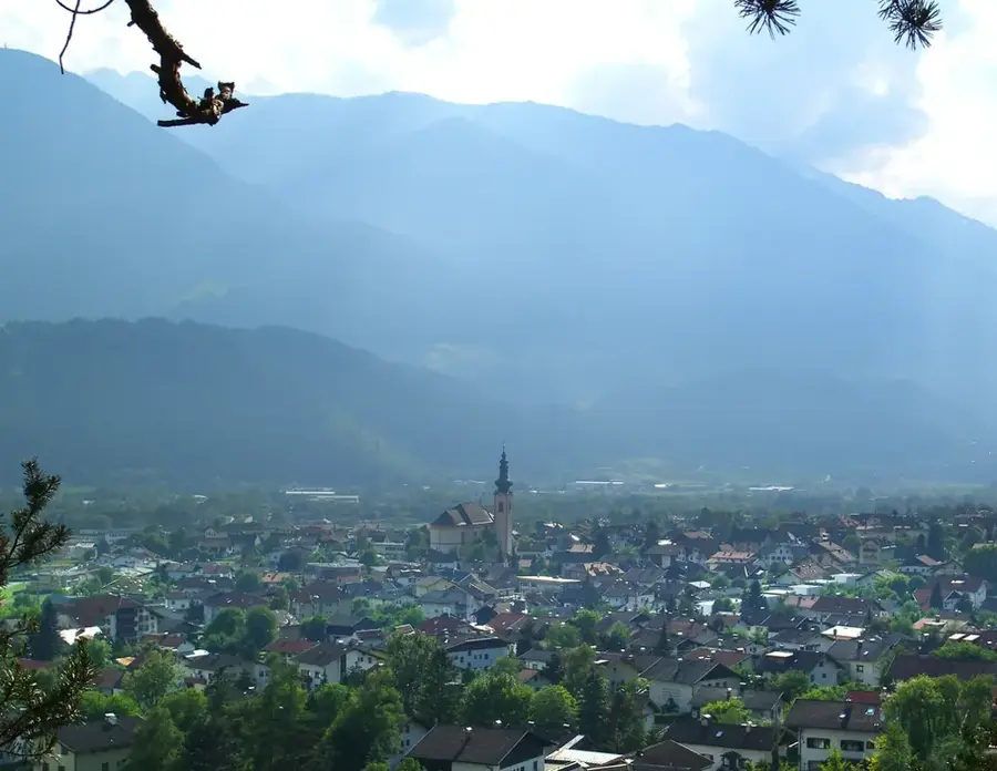
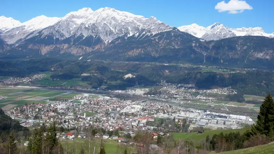
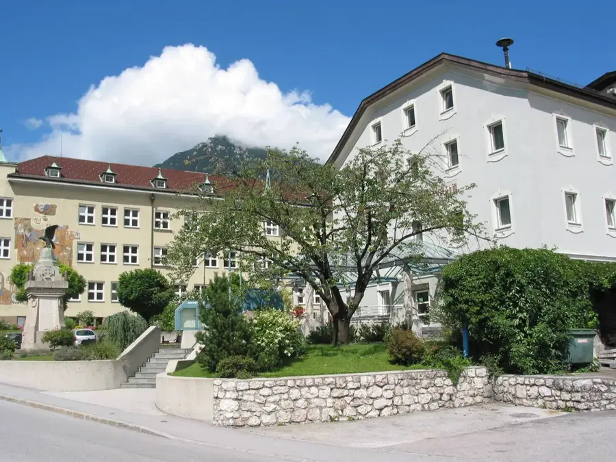
The Ötztal in Tyrol is a majestic alpine valley that stretches 65 kilometers southward from the Inn Valley to the high peaks forming the border with Italy. It achieved global fame in 1991 following the discovery of 'Ötzi the Iceman,' a remarkably preserved 5,300-year-old mummy found in the melting ice near the Similaun glacier. The valley is a land of extremes, rising from fertile orchards at its mouth to the glaciated summit of the Wildspitze, Austria's second-highest mountain at 3,774 meters. Along its course, visitors can marvel at the Stuibenfall, Tyrol's highest waterfall, which plunges 159 meters over rocky terraces. Tourism is the heartbeat of the valley, with Sölden and Obergurgl serving as premier destinations for skiing and mountaineering, often referred to as the 'Diamond of the Alps' due to their high altitude and reliable snow. In the warmer months, the Ötztal features an extensive network of trails for hikers and mountain bikers, including the world-class 'Bike Republic Sölden.' Cultural heritage is equally rich, characterized by the traditional seasonal migration of sheep across the high mountain passes, a practice protected as UNESCO Intangible Cultural Heritage. Whether exploring the archaeological exhibits at the Ötzi Village in Umhausen or relaxing in the thermal waters of the Aqua Dome in Längenfeld, the Ötztal provides a profound connection to the grandeur of the Alps.
- Location: Tyrol, Austria
- Top sights: Puitkogel · Wassertalkogel · Ampferkogel
- Nearby: Sölden (8 km)
Best time to visit & climate
The most pleasant time to visit is Jun–Aug.
| Jan | Feb | Mar | Apr | May | Jun | Jul | Aug | Sep | Oct | Nov | Dec | |
|---|---|---|---|---|---|---|---|---|---|---|---|---|
| Avg °C | -9 | -9 | -5 | 1 | 6 | 10 | 11 | 11 | 7 | 3 | -2 | -7 |
| Rain mm | 58 | 48 | 63 | 78 | 123 | 148 | 153 | 165 | 106 | 88 | 75 | 61 |
📋 Practical info
Geography
Facts
- Length of the main valley: 65 km
- Discovery site of Ötzi the Iceman
- Wildspitze (3,774 m) is the highest peak
- Stuibenfall waterfall is 159 m high
- Over 250 peaks exceeding 3,000 m
- Sheep transhumance is UNESCO Heritage
Explore nearby
Notable places around
Route planner — Car & Motorhome
Where do you start? We build the route here, with stops and country notes along the way.
© OpenStreetMap contributors · OpenRouteService
Sights in the town Ötztal (4)
Sights nearby
Frequently asked questions
Who is the most famous historical figure of the Ötztal?
Where is the highest waterfall in Tyrol located?
What does 'Area 47' offer?
Can you ski on the glacier in Ötztal?
How do you get from Sölden to Italy?
Ötztal: where is it located?
Ötztal: what is there to see?
Ötztal: when is the best time to visit?
Ötztal: why is it worth visiting?

Nearby cities