Plizio Visual Lab
Hochpfeiler
Weather…
Water temperature…
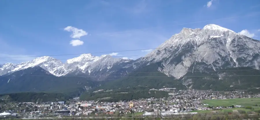
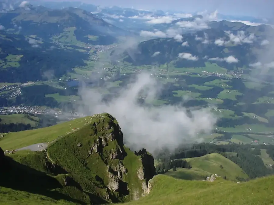
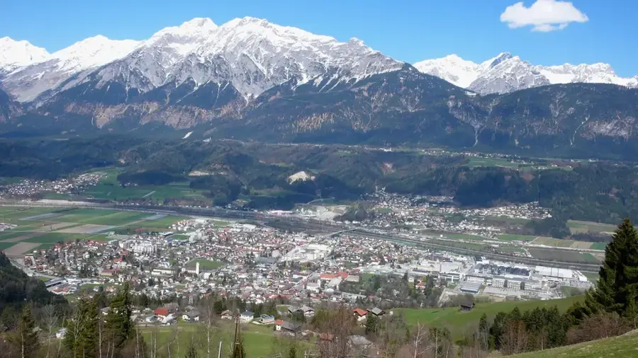
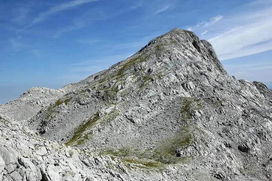
The Hochpfeiler (Italian: Gran Pilastro) is the highest mountain in the Zillertal Alps at an altitude of 3510 meters and is located directly on the state border between Austria (Tyrol) and Italy (South Tyrol). It is a dominant peak of the Zillertal main ridge and is characterized by its impressive, nearly 300-meter-high north face, which is world-famous among ice climbers. Geologically, the mountain consists of central gneiss, responsible for the strength and striking appearance of the Zillertal Alps. The first ascent was made in 1865 by Paul Grohmann, Georg Samer, and Peter Fuchs, marking the beginning of tourism development in the region. The summit is surrounded by several glaciers, including the Schlegeiskees to the north and the Gliderferner to the south, with the ice retreat also changing the landscape here. The normal route from South Tyrol leads via the Hochpfeiler Hut and is considered a demanding high-altitude tour requiring good fitness and high-alpine experience. From the summit, an overwhelming panorama unfolds, stretching from the Dolomites in the south to the Grossglockner in the east. The Hochpfeiler is not only a symbol of alpine challenge but also an important point for weather observation in the Central Alps.
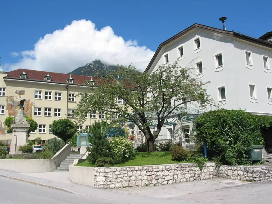
- Location: Tyrol, Austria
- Top sights: PfitscherJoch grenzenlos · Pfitscher Grat · Hochsteller
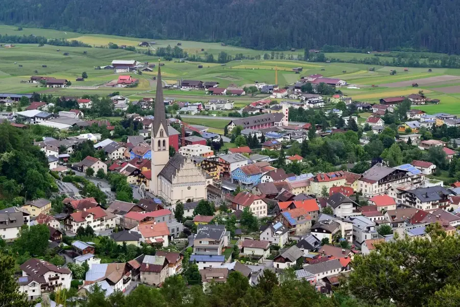
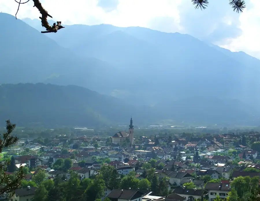
- Nearby: Tux (15 km)
Best time to visit & climate
The most pleasant time to visit is Jun–Aug.
| Jan | Feb | Mar | Apr | May | Jun | Jul | Aug | Sep | Oct | Nov | Dec | |
|---|---|---|---|---|---|---|---|---|---|---|---|---|
| Avg °C | -9 | -9 | -5 | 1 | 6 | 10 | 11 | 11 | 7 | 3 | -2 | -7 |
| Rain mm | 58 | 48 | 63 | 78 | 123 | 148 | 153 | 165 | 106 | 88 | 75 | 61 |
📋 Practical info
Geography
Facts
- The Hochpfeiler is 3510 meters high, the tallest in the Zillertal Alps.
- The first ascent took place on July 24, 1865.
- The north face is a classic ice climb with a gradient of up to 55 degrees.
- The summit is located exactly on the border between Tyrol and South Tyrol.
- The Hochpfeiler Hut on the South Tyrolean side is situated at 2710 meters.
- Geologically, the mountain belongs to the Tauern Window made of central gneiss.
Explore nearby
Notable places around
Route planner — Car & Motorhome
Where do you start? We build the route here, with stops and country notes along the way.
© OpenStreetMap contributors · OpenRouteService
Sights in the town Hochpfeiler (5)
Sights nearby
Frequently asked questions
Where is the Hochpfeiler located?
How high is the mountain?
Is the ascent possible for beginners?
Is there a mountain hut nearby?
What is the best ascent route?
Hochpfeiler: where is it located?
Hochpfeiler: what is there to see?
Hochpfeiler: when is the best time to visit?
Hochpfeiler: why is it worth visiting?

Nearby cities