Plizio Visual Lab
Lubango
ℹ️Practical info — Lubango
▾
🌤 Weather — 5 days
📍 Nearby
Sights nearby
💡 Tips
- Lubango is situated at a higher altitude, meaning evenings can get surprisingly chilly; pack a warm jacket.
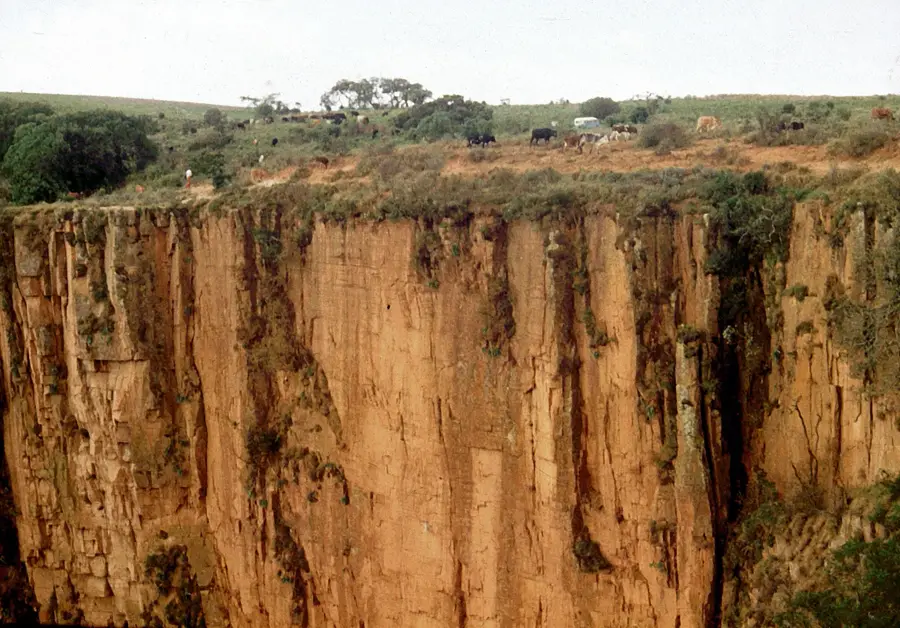
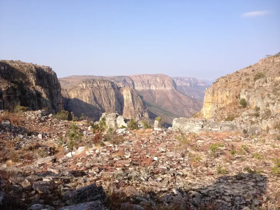
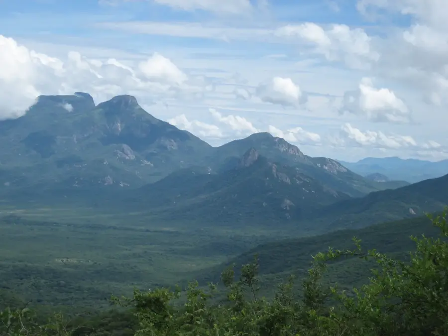
- The spectacular Tundavala Gap (Fenda da Tundavala) is best visited in the early morning for clear views before the clouds roll in.
- Renting a 4x4 vehicle is highly recommended if you plan to explore the surrounding Huíla province.
- While Portuguese is the official language, learning a few greetings in local languages like Nyaneka is deeply appreciated.
🍽 Food
Sun-dried and salted beef, a popular local dish often served with funge or potatoes at local taverns.
Traditional fresh cheese made in the Huíla region, often available at local markets and farms.
Roasted goat, deeply flavorful and a staple at weekend family gatherings and traditional eateries.
🛍 Shopping · 🧘 Quiet spots
Explore the bustling aisles for fresh produce, spices, and authentic local life vibes.
Look for traditional woven baskets and pottery sold by local artisans around the city center.
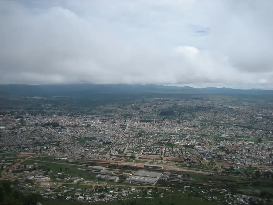
A towering statue on a hill offering panoramic, peaceful views over the city of Lubango.
A panoramic sheer drop into the valley below; a deeply quiet and awe-inspiring natural wonder.
A tranquil Catholic shrine situated on a lush green hill, excellent for a quiet stroll and reflection.
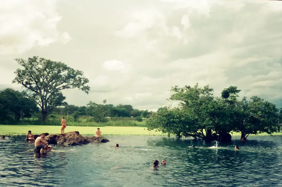
Water temperature…
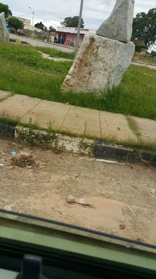
Lubango, the capital city of Huíla Province in southwestern Angola, stands as a unique urban center characterized by its high-altitude setting on the Huíla Plateau at approximately 1,720 meters above sea level. Established in 1885 by Portuguese settlers from Madeira, the city was originally named Sá da Bandeira and served as a crucial agricultural outpost due to its temperate-like climate. Today, Lubango is renowned for its scenic beauty and relatively cool weather, which stands in stark contrast to the tropical heat of the northern provinces. The city's skyline is defined by the white statue of Christ the King (Cristo Rei), which overlooks the urban sprawl from a mountain ridge, mirroring the famous monuments in Brazil and Portugal. Architecturally, Lubango retains much of its colonial charm, with Art Deco buildings and wide, tree-lined avenues that date back to the early 20th century. Geography plays a central role in the city's identity, as it is located near the dramatic Serra da Chela escarpment. The Tundavala Gap, situated just 18 kilometers from the center, is one of Angola's most famous natural landmarks, where the plateau drops vertically for over 1,000 meters into the Namibe plains below. Economically, Lubango is a major hub for trade, cattle ranching, and logistics, benefiting from its connection to the Moçâmedes Railway and the port of Namibe. It is also home to the Mandume ya Ndemufayo University, making it a key educational destination. The cultural fabric of Lubango is enriched by the presence of diverse ethnic groups, including the Mumuila people, whose traditional customs and distinctive hairstyles contribute to the city's lively local markets. As a center of governance and commerce, Lubango continues to expand, balancing modern development with the preservation of its historical and environmental heritage.
- Location: Angola
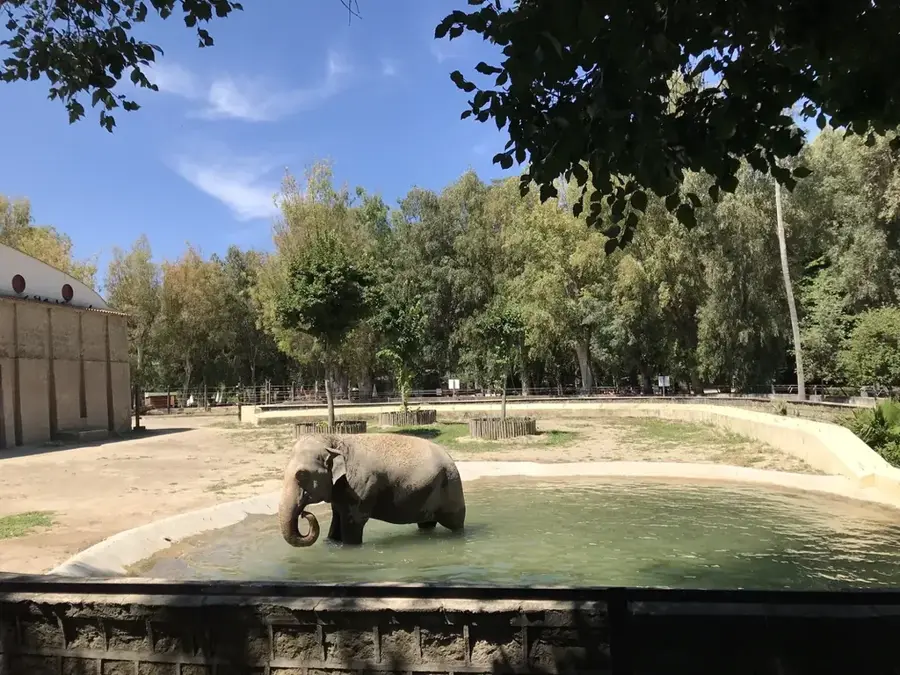
- Top sights: Museu de Ciência e Tecnologia da Huíla · Universidade Mandume ya Ndemufayo (UMN) Auditório n.º 2 · Museu Regional da Huíla
- Nearby: Tundavala Gap (16 km)
- Population: ~600.751 (2026)
Best time to visit & climate
The most pleasant time to visit is May, Aug, Sep.
| Jan | Feb | Mar | Apr | May | Jun | Jul | Aug | Sep | Oct | Nov | Dec | |
|---|---|---|---|---|---|---|---|---|---|---|---|---|
| Avg °C | 21 | 21 | 21 | 21 | 19 | 17 | 18 | 20 | 23 | 24 | 23 | 22 |
| Rain mm | 131 | 137 | 207 | 49 | 6 | 0 | 0 | 1 | 5 | 38 | 166 | 120 |
Geography
Facts
- Lubango is located at an elevation of 1,720 meters above sea level.
- The city was renamed from Sá da Bandeira to Lubango in 1975.
- The Cristo Rei statue was inspired by the Christ the Redeemer in Rio.
- Tundavala Gap is situated approximately 18 km from the city center.
- The city is the administrative headquarters of the Huíla Province.
- Lubango's economy is heavily based on agriculture and livestock.
- The Serra da Leba road climbs over 1,600 meters in just a few kilometers.
- The city hosts the main campus of Mandume ya Ndemufayo University.
Explore nearby
Notable places around
Route planner — Car & Motorhome
Where do you start? We build the route here, with stops and country notes along the way.
© OpenStreetMap contributors · OpenRouteService
Sights in the town Lubango (4)
Frequently asked questions
How many days do you need for Lubango?
When is the best time to visit Lubango?
What is the easiest way to get to Lubango?
What local food can you find in Lubango?
Is Lubango family-friendly?
Lubango: where is it located?
Lubango: what is there to see?
Lubango: when is the best time to visit?
Lubango: why is it worth visiting?

Nearby cities

More places