Plizio Visual Lab
Matala
ℹ️Practical info — Matala
▾
🌤 Weather — 5 days
📍 Nearby
Sights nearby
💡 Tips
- Visit the Matala Dam, the most impressive structure in the region.
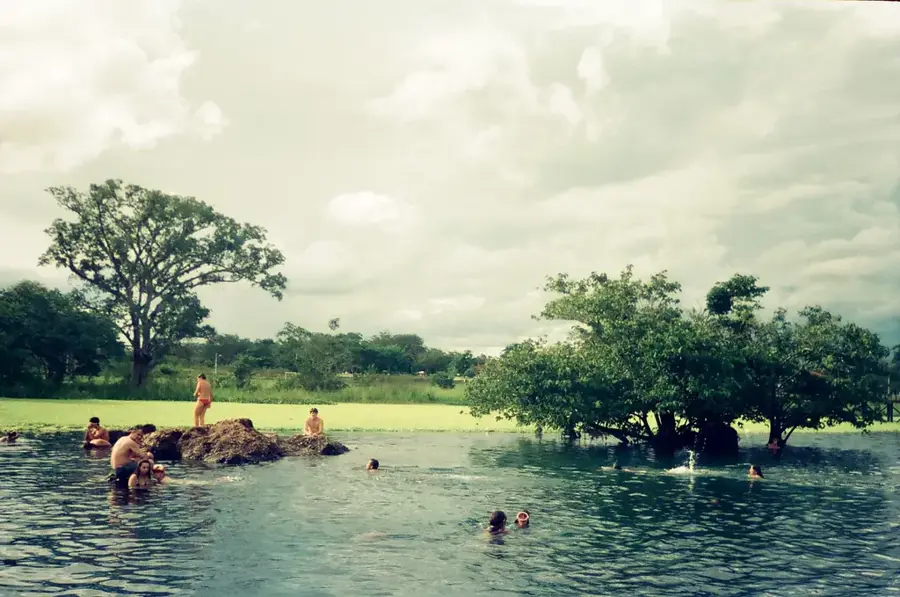
- Be cautious on the banks of the Cunene River as crocodiles can be present.
- Taste the fresh tomatoes, which the local agriculture is famous for.
- Late afternoon is the best time for walks along the irrigation canals.
🍽 Food
Enjoy freshly caught tilapia from the Cunene River at local restaurants.
Matala is a major tomato producer, making local stews exceptionally flavorful.
A staple dish available at most traditional eateries in the town center.
🛍 Shopping · 🧘 Quiet spots
The best place to buy fresh vegetables, especially tomatoes and onions.
You can sometimes buy fresh catch directly from fishermen near the riverbanks.
Find elevated or secure spots near the dam to watch the sunset over the water.
Peaceful walking routes outside the bustling town center, surrounded by green fields.
Water temperature…
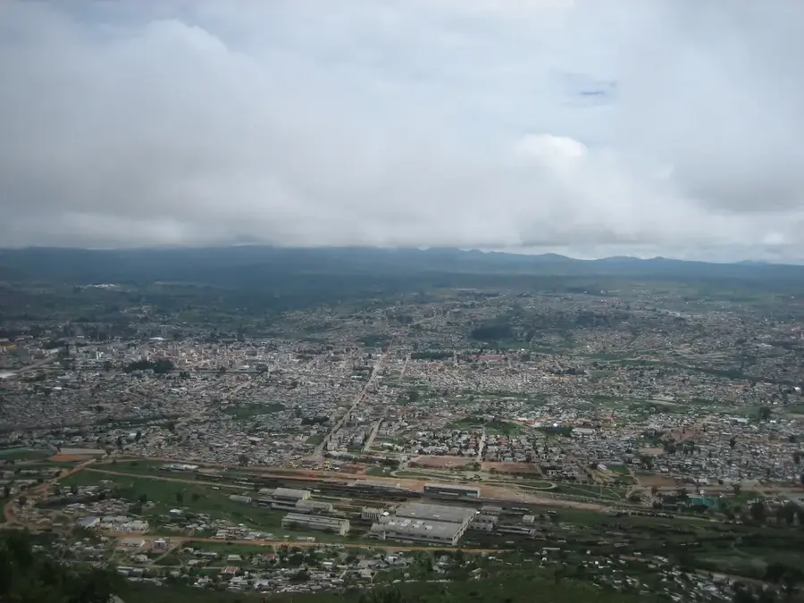
Matala is a significant town in the Huíla Province of southwestern Angola, positioned along the banks of the Cunene River. The town gained regional prominence following the construction of the Matala Dam between 1954 and 1959, which was one of the first major hydroelectric projects of the Portuguese colonial era. The power station currently supplies electricity to vast areas of southern Angola, including the cities of Lubango and Namibe. Beyond power generation, the dam facilitates an extensive irrigation system that renders the surrounding plains suitable for intensive grain and vegetable farming. Geographically, Matala sits on the Huíla Plateau at an elevation of about 1,300 meters, resulting in a temperate tropical highland climate. The town also serves as a vital transportation hub on the Moçâmedes Railway, connecting the interior with the Atlantic port of Namibe.
- Location: Angola
- Population: ~78.000 (2026)
Geography
Facts
- The Matala Dam was completed in the year 1959.
- The town is located in Huíla Province on the Cunene River.
- Matala is situated at an elevation of about 1,300 meters.
- The Moçâmedes Railway has served the town for several decades.
- The hydroelectric plant has a capacity of approximately 40 megawatts.
- The irrigation system supports an area exceeding 10,000 hectares.
Explore nearby
Notable places around
Route planner — Car & Motorhome
Where do you start? We build the route here, with stops and country notes along the way.
© OpenStreetMap contributors · OpenRouteService
Frequently asked questions
How many days do you need for Matala?
When is the best time to visit Matala?
What is the easiest way to get to Matala?
What food is typical in Matala?
Is Matala family-friendly?
Matala: where is it located?
Matala: why is it worth visiting?

Nearby cities


More places