Plizio Visual Lab
Quilengues

ℹ️Practical info — Quilengues
▾
🌤 Weather — 5 days
📍 Nearby
Sights nearby
💡 Tips
- Use Quilengues as a first-rate stopover on the drive between Lubango and Benguela.
- Respect the local cattle farmers, as agriculture dictates daily life here.
- Buy fresh agricultural products directly from roadside stalls.
- Temperatures are warmer here than in the Lubango highlands, so dress accordingly.
🍽 Food
Thanks to the strong cattle farming tradition, beef is fresh and widely served in local grills.
Cornmeal funge is popular here, often paired with hearty meat stews.
Depending on the season, buy these sweet fruits cheaply from the market.
🛍 Shopping · 🧘 Quiet spots
A lively spot to observe local rural life and buy fresh crops and meat.
Convenient for picking up fresh, seasonal produce for your onward journey.
Drive slightly out of town to enjoy the peaceful, rolling agricultural landscapes.
A quiet place to rest in the shade during the hot midday hours.
Water temperature…
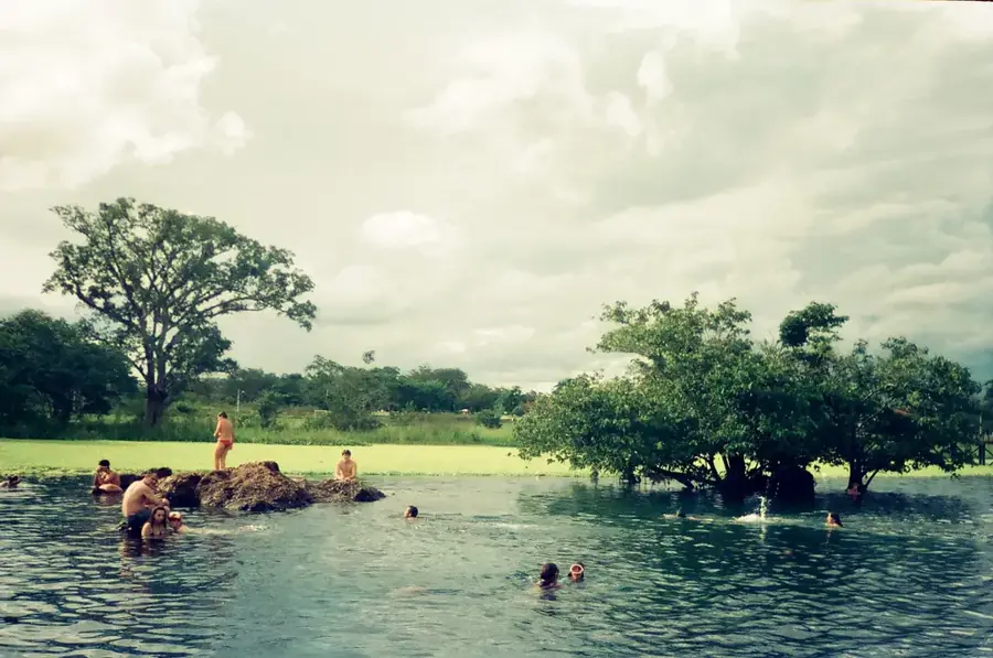
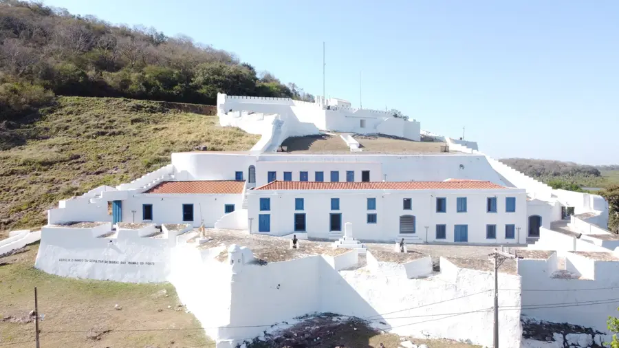
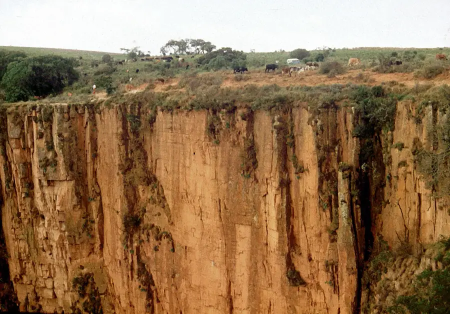
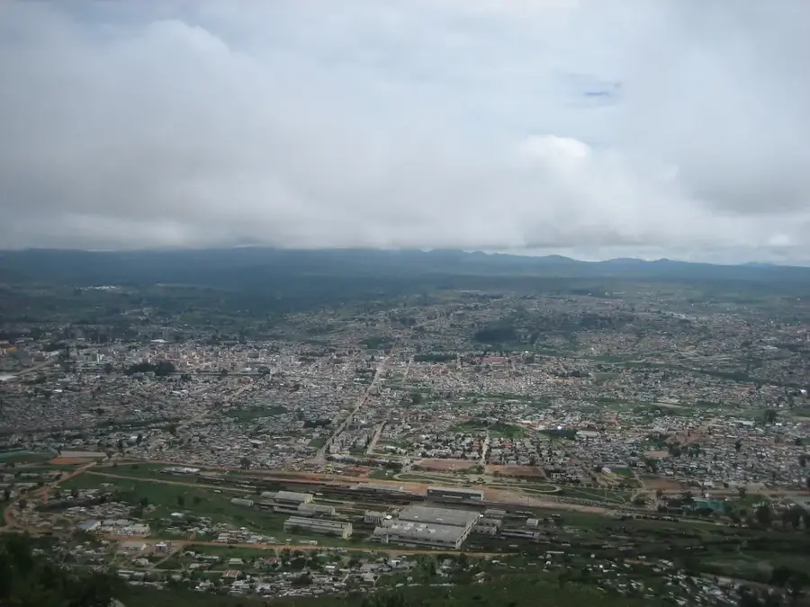
Quilengues is a historic town and municipal seat in the Huíla Province of southwestern Angola. Geographically, the town is situated in a transition zone between the humid highlands and the more arid coastal regions, approximately 140 kilometers north of Lubango. Its origins date back to 1770, when the Portuguese established a fortified outpost to monitor and control trade routes. The local economy is heavily influenced by cattle ranching, which is deeply rooted in the cultural traditions of the local inhabitants. Additionally, subsistence farming is practiced in the region, focusing on crops such as maize and sorghum. The landscape is characterized by acacia woodlands and savannas, which are typical of this part of Angola. Quilengues serves as an important regional administrative center and benefits from its strategic location on the main road connecting Huíla and Benguela.
- Location: Angola
- Nearby: Caluquembe (74 km)
Best time to visit & climate
The most pleasant time to visit is Jun–Aug.
| Jan | Feb | Mar | Apr | May | Jun | Jul | Aug | Sep | Oct | Nov | Dec | |
|---|---|---|---|---|---|---|---|---|---|---|---|---|
| Avg °C | 24 | 24 | 24 | 25 | 25 | 22 | 22 | 24 | 26 | 27 | 26 | 25 |
| Rain mm | 107 | 106 | 152 | 48 | 3 | 0 | 0 | 1 | 5 | 45 | 160 | 83 |
Geography
Facts
- Quilengues was founded as a military outpost in the year 1770.
- The town is situated at an elevation of approximately 800 meters.
- The Quilengues municipality covers an area of about 2,680 square kilometers.
- Livestock farming is the primary economic driver in the region.
- The area marks the boundary between the high plateau and the coastal lowlands.
- The distance to the provincial capital, Lubango, is roughly 143 kilometers.
Explore nearby
Notable places around
Route planner — Car & Motorhome
Where do you start? We build the route here, with stops and country notes along the way.
© OpenStreetMap contributors · OpenRouteService
Frequently asked questions
How many days do you need for Quilengues?
When is the best time to visit Quilengues?
What is the easiest way to get to Quilengues?
What food is typical in Quilengues?
Is Quilengues family-friendly?
Quilengues: where is it located?
Quilengues: when is the best time to visit?
Quilengues: why is it worth visiting?

Nearby cities


More places