Plizio Visual Lab
Curoca

ℹ️Practical info — Curoca
▾
🌤 Weather — 5 days
📍 Nearby
Sights nearby
💡 Tips
- Road conditions can be challenging, a 4x4 vehicle is highly recommended for traveling around Cunene province.
- Cash is essential as card payments are rare outside major hotels.
- Respect local customs and always ask permission before taking photos of people.
- Stick to bottled water and avoid drinking tap water.
🍽 Food
A traditional cassava or corn porridge, often served with meat or fish stews at local eateries.
Fresh fish from the region's rivers, frequently found at roadside stalls.
A rich palm oil stew available in traditional restaurants.
🛍 Shopping · 🧘 Quiet spots
The best place to buy fresh produce and regional ingredients.
Look for artisans selling handmade goods in the village center.
Find a quiet spot along the river for birdwatching and relaxation.
Take a peaceful walk on the edge of the settlement to enjoy the open landscape.
Water temperature…
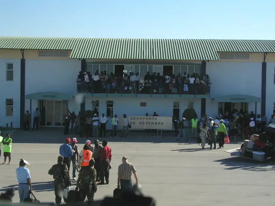
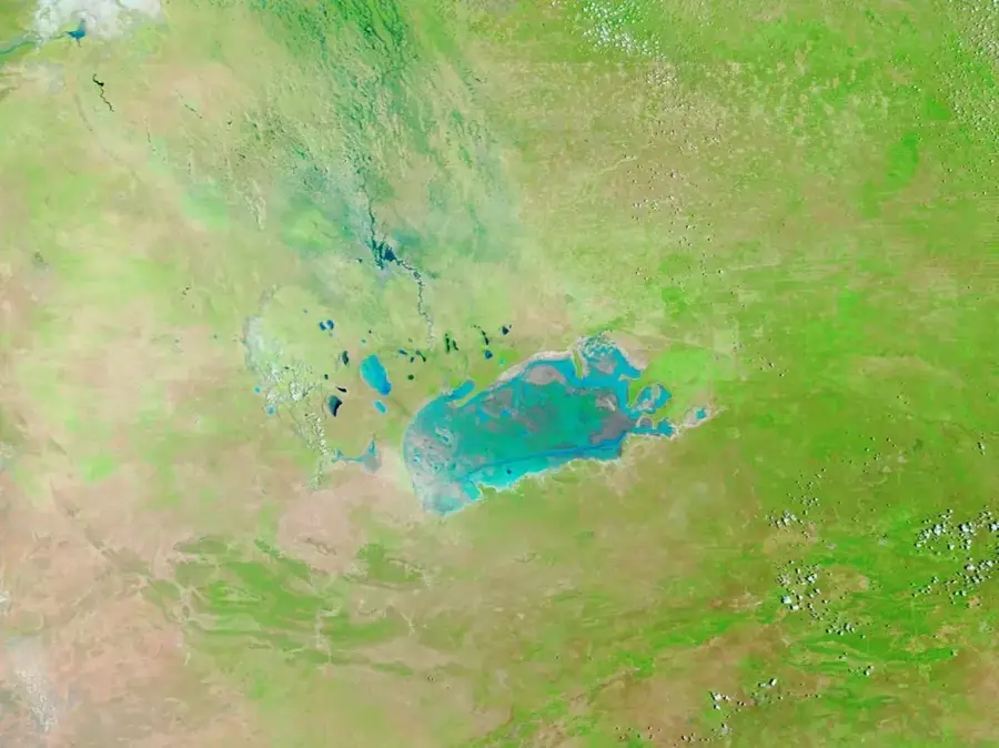
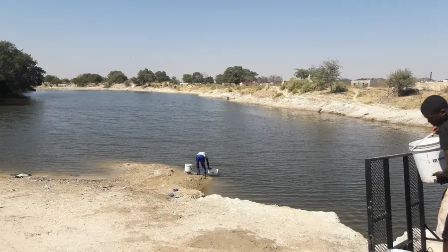
Curoca is a municipality in Angola's southwestern Cunene Province, named after the Curoca River that traverses the region. This area is geographically unique, serving as a transition zone between the arid savanna in the east and the Namib Desert in the west. The landscape is characterized by spectacular erosion formations, rock faces, and seasonal riverbeds that often flow for only a few days each year. The local population primarily consists of Khoisan and Herero peoples, who maintain nomadic or semi-nomadic lifestyles and are experts in desert survival. Historically, Curoca remained largely untouched by colonial influences due to its extreme aridity and inaccessibility, helping to preserve unique cultural traditions. In recent decades, however, the region has suffered from devastating drought periods, severely threatening the traditional livelihoods of pastoralists and requiring government intervention.
Best time to visit & climate
The most pleasant time to visit is May, Jul, Aug.
| Jan | Feb | Mar | Apr | May | Jun | Jul | Aug | Sep | Oct | Nov | Dec | |
|---|---|---|---|---|---|---|---|---|---|---|---|---|
| Avg °C | 24 | 24 | 24 | 23 | 22 | 19 | 20 | 22 | 25 | 27 | 26 | 25 |
| Rain mm | 102 | 104 | 157 | 35 | 2 | 0 | 0 | 0 | 1 | 13 | 62 | 60 |
Geography
Facts
- The Curoca River flows into the Atlantic Ocean in Namibe Province.
- Curoca is the most sparsely populated municipality in Cunene Province.
- The area is home to the spectacular Oncocua rock formations.
- The Khoisan in Curoca preserve one of the oldest languages in the world.
- The climate is extremely arid, with less than 200 mm of annual rainfall.
- Livestock farming of goats and cattle is the only economic foundation.
Explore nearby
Notable places around
Route planner — Car & Motorhome
Where do you start? We build the route here, with stops and country notes along the way.
© OpenStreetMap contributors · OpenRouteService
Frequently asked questions
How many days do you need for Curoca?
When is the best time to visit Curoca?
How do you get to Curoca?
What should you eat in Curoca?
Is Curoca family-friendly?
Curoca: where is it located?
Curoca: when is the best time to visit?
Curoca: why is it worth visiting?