Plizio Visual Lab
Namacunde
ℹ️Practical info — Namacunde
▾
🌤 Weather — 5 days
📍 Nearby
Sights nearby
💡 Tips
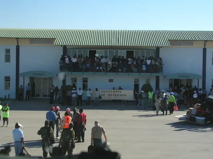
- Being close to the Santa Clara border crossing, Namacunde is a busy transit point; keep your travel documents handy.
- Both Angolan Kwanzas and Namibian Dollars might be accepted in informal settings, but officially use Kwanzas.
- The border traffic can cause delays; start your journey early if you plan to cross into Namibia.
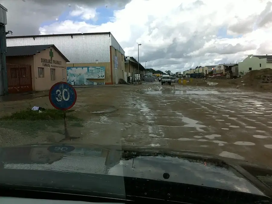
- The climate is semi-arid; stay hydrated and seek shade during midday.
🍽 Food
Very popular at border towns, served with spicy piri-piri sauce.
Influenced by the cross-border culture, often served in local homes and small eateries.
The classic Angolan refreshment, widely available in local bars to beat the heat.
🛍 Shopping · 🧘 Quiet spots
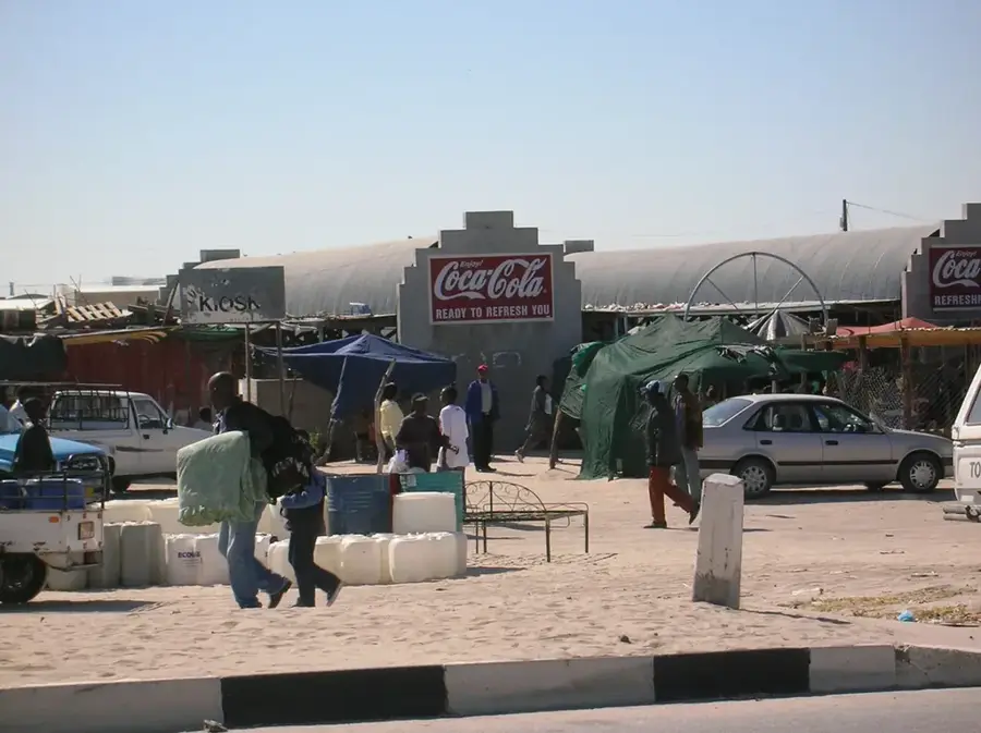
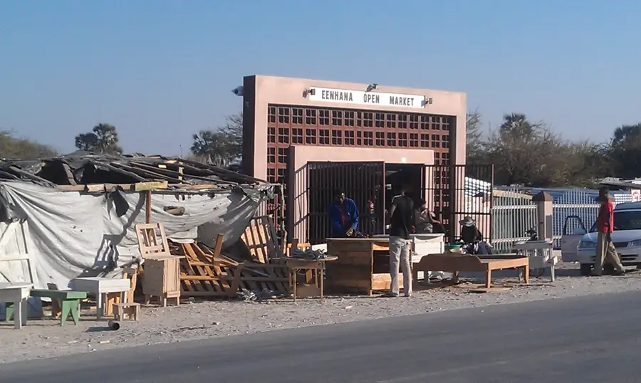
Bustling areas where you can find cross-border trade goods, from electronics to clothing.
Look for traditional woven baskets and wooden items typical of the Cunene region.
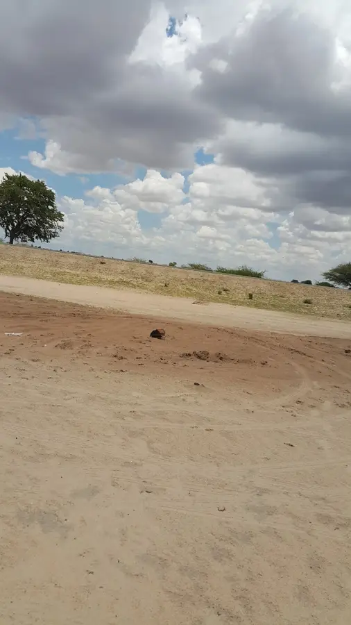
Venture a bit outside the busy border zone to appreciate the quiet, open landscapes.
Often provide a cool, calm respite from the busy transit activity in the town.
Water temperature…
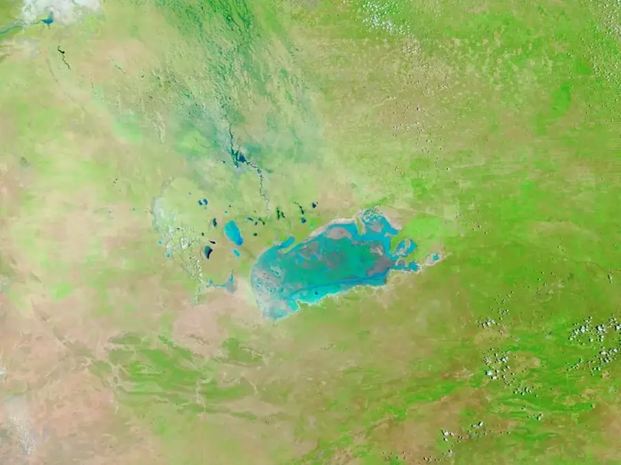
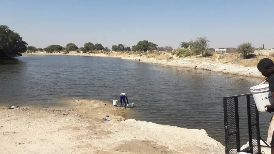
Namacunde is a frontier municipality in southern Angola's Cunene Province, located directly on the border with Namibia. The main town of Namacunde serves as a significant administrative center and historical site, as it was once the residence of the legendary Kwanyama King, Mandume ya Ndemufayo. Geographically, the area is part of the semi-arid Cuvelai plain, characterized by a mix of scrubland and seasonal wetlands. Its proximity to the Santa Clara border crossing makes Namacunde a strategic point for the flow of goods between Angola and other Southern African nations. Historically, the region witnessed significant movements and conflicts during the German colonial wars in neighboring South West Africa and later during the Angolan Civil War. Today, the municipality faces the challenge of securing water supplies during increasing drought cycles while commercial trade thrives in the border settlements.
- Location: Angola
- Nearby: Cuanhama (27 km)
Best time to visit & climate
The most pleasant time to visit is May, Jun, Aug.
| Jan | Feb | Mar | Apr | May | Jun | Jul | Aug | Sep | Oct | Nov | Dec | |
|---|---|---|---|---|---|---|---|---|---|---|---|---|
| Avg °C | 27 | 26 | 25 | 24 | 21 | 18 | 18 | 21 | 25 | 28 | 28 | 28 |
| Rain mm | 111 | 115 | 106 | 26 | 3 | 0 | 0 | 0 | 2 | 13 | 53 | 66 |
Geography
Facts
- Namacunde hosts the memorial of King Mandume ya Ndemufayo.
- The Santa Clara border crossing is located within the Namacunde municipality.
- The region is renowned for its traditional cattle-herding culture.
- Namacunde was occupied during the South African invasions of the 1980s.
- The town is situated at an elevation of approximately 1100 meters.
- A significant solar-powered water pumping project is located nearby.
Explore nearby
Notable places around
Route planner — Car & Motorhome
Where do you start? We build the route here, with stops and country notes along the way.
© OpenStreetMap contributors · OpenRouteService
Frequently asked questions
How many days do you need for Namacunde?
When is the best time to visit Namacunde?
How do you get to Namacunde?
What should you eat in Namacunde?
Is Namacunde family-friendly?
Namacunde: where is it located?
Namacunde: when is the best time to visit?
Namacunde: why is it worth visiting?

Nearby cities