Plizio Visual Lab
Cuvelai
ℹ️Practical info — Cuvelai
▾
🌤 Weather — 5 days
📍 Nearby
Sights nearby
💡 Tips
- Roads in the Cunene province can be challenging, especially during the rainy season. A 4x4 vehicle is highly recommended.
- Mobile coverage can be spotty outside the city center, download offline maps before traveling.
- When greeting locals in rural areas, a slight nod of the head along with a polite handshake is appreciated.
- Credit cards are rarely accepted in smaller shops; carry enough Angolan Kwanza for daily expenses.
🍽 Food
Look for small local eateries (ngandas) in the city center for an authentic taste of this chicken stew.
This cassava or corn flour porridge is the staple side dish served with most meals in local taverns.
Try the simple but delicious roadside stalls near the river areas.
🛍 Shopping · 🧘 Quiet spots
The central municipal market is best for buying fresh produce and basic daily necessities.
Occasionally, local artisans sell woven baskets and wood carvings near the main transport hubs.
The banks of the river offer peaceful spots for a quiet walk, especially during the dry season.
Take a short drive outside the town to appreciate the vast, quiet landscapes of the Cunene province.
Water temperature…
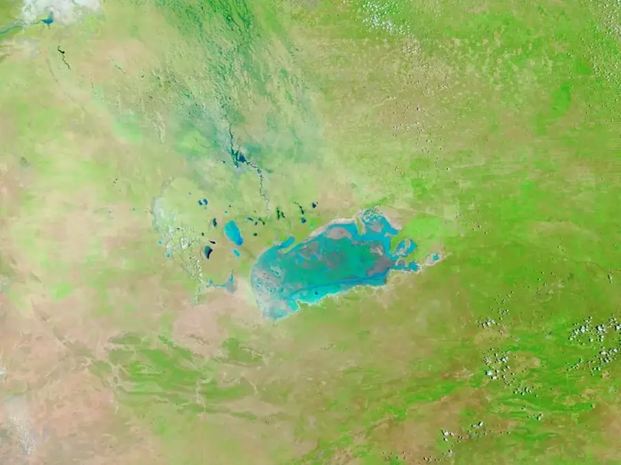
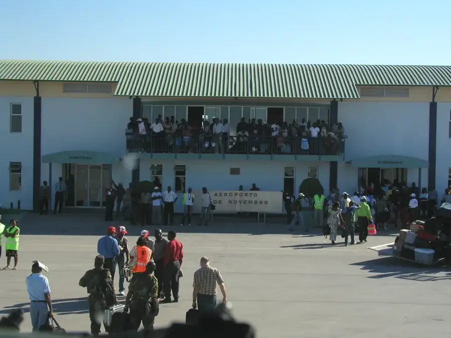
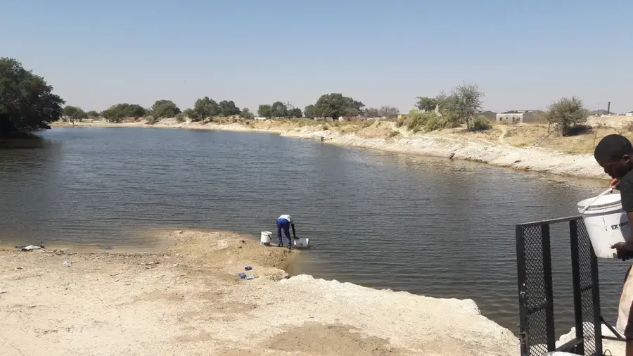
Cuvelai is a municipality located in the northern part of Angola's Cunene Province, deriving its name from the Cuvelai River. Geographically, the region is critically important as it forms the headwaters of the Cuvelai Basin, a complex system of shallow waterways that eventually flows into the Etosha Pan in Namibia. The ecological balance of this area depends heavily on annual rainfall in the Huíla highlands, which triggers the seasonal flooding of the local channels. Historically, Cuvelai was a site of significant conflict during the Angolan Civil War, particularly during the South African military operation "Protea" in 1981, which led to the near-total evacuation of the town. The local population primarily consists of pastoralists and subsistence farmers adapted to the extreme shifts between drought and flooding. In recent years, substantial efforts have been made to improve sanitation and access to clean drinking water in this climatically challenging region.
Best time to visit & climate
The most pleasant time to visit is May, Jul, Aug.
| Jan | Feb | Mar | Apr | May | Jun | Jul | Aug | Sep | Oct | Nov | Dec | |
|---|---|---|---|---|---|---|---|---|---|---|---|---|
| Avg °C | 23 | 23 | 23 | 22 | 20 | 18 | 18 | 22 | 25 | 27 | 25 | 24 |
| Rain mm | 179 | 149 | 171 | 45 | 5 | 0 | 0 | 1 | 4 | 36 | 136 | 131 |
Geography
Facts
- Cuvelai sits at an elevation of approximately 1100 meters.
- The Cuvelai River flows regularly only during the rainy season.
- The region is known for its traditional transhumance grazing practices.
- During Operation Protea in 1981, Cuvelai was the site of fierce fighting.
- The Cuvelai system comprises over 100 small waterways and channels.
- The municipality of Cuvelai is one of the largest in the province by area.
Explore nearby
Notable places around
Route planner — Car & Motorhome
Where do you start? We build the route here, with stops and country notes along the way.
© OpenStreetMap contributors · OpenRouteService
Frequently asked questions
How many days do you need for Cuvelai?
When is the best time to visit Cuvelai?
How do you get to Cuvelai?
What should you eat in Cuvelai?
Is Cuvelai family-friendly?
Cuvelai: where is it located?
Cuvelai: when is the best time to visit?
Cuvelai: why is it worth visiting?

Nearby cities
More places