Plizio Visual Lab
Ruacana
ℹ️Practical info — Ruacana
▾
🌤 Weather — 5 days
📍 Nearby
Sights nearby
💡 Tips
- Check the water levels of the Ruacana Falls beforehand; they are most spectacular after heavy rains or when the dam is opened.
- Visit nearby Himba villages with respect; it is customary to bring small gifts of staples like maize meal or sugar.
- Do not take photos of military installations or border posts near the Angolan frontier.
- Pack strong insect repellent as the proximity to the Kunene River means more mosquitoes than in the desert.
🍽 Food
Fresh fish from the river is often sold grilled at small roadside eateries.
Try the thick maize or millet porridge, which is the main staple for the local communities.
Look for seasonal wild fruits and berries unique to the humid river environment at local stalls.
🛍 Shopping · 🧘 Quiet spots
Purchase authentic handmade jewelry and leather items directly from Himba women along the road.
A good spot to pick up basic supplies and hand-woven items made from local palm leaves.
A peaceful spot offering a grand view of the Kunene River valley and the falls.
Walk along the river away from the main settlement to find quiet spots under the trees.
Water temperature…
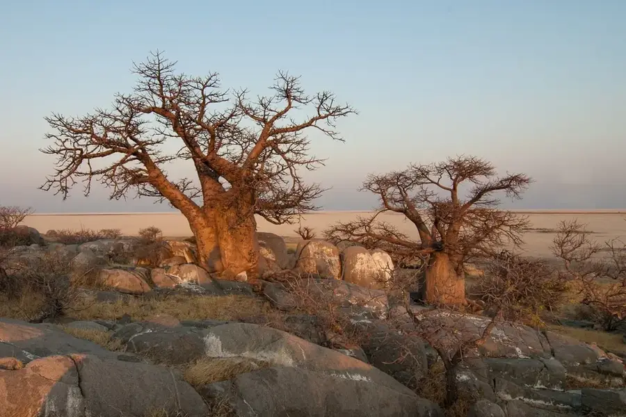
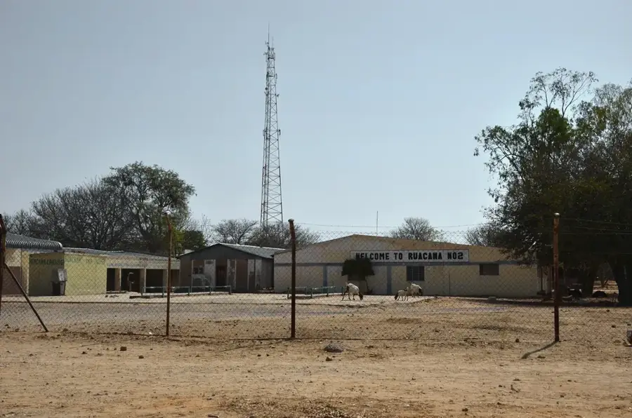
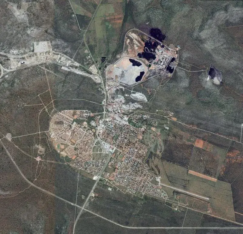
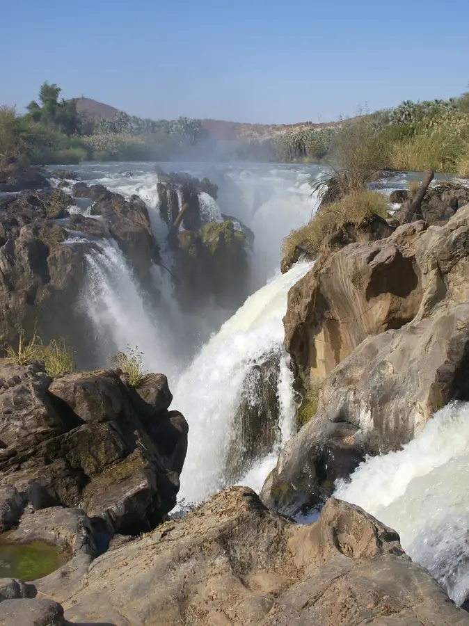
Ruacana is a town located in the Kunene Region of northern Namibia, situated directly on the border with Angola. The settlement grew substantially in the 1970s following the construction of the Ruacana Hydroelectric Power Station, which remains a critical source of renewable energy for the entire nation. Geographically, the area is best known for the Ruacana Falls, where the Kunene River plunges 120 meters down a 700-meter-wide precipice, though the flow is often regulated by the Calueque Dam upstream. The surrounding terrain is characterized by rugged hills and semi-arid vegetation, with the river providing a lush lifeline in the dry environment. Culturally, the region is home to the Ovahimba and Ovambo people, who have maintained their traditional pastoralist lifestyles for centuries. Today, Ruacana functions as an administrative hub and an essential border crossing for regional trade between Namibia and Angola.
- Location: Namibia
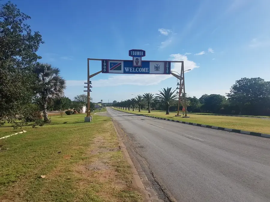
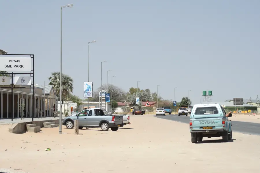
- Nearby: Tsandi (75 km)
- Population: ~3.537 (2024)
Best time to visit & climate
The most pleasant time to visit is May, Jun, Aug.
| Jan | Feb | Mar | Apr | May | Jun | Jul | Aug | Sep | Oct | Nov | Dec | |
|---|---|---|---|---|---|---|---|---|---|---|---|---|
| Avg °C | 26 | 25 | 25 | 24 | 21 | 18 | 18 | 21 | 25 | 27 | 28 | 27 |
| Rain mm | 137 | 124 | 132 | 30 | 4 | 0 | 0 | 0 | 1 | 16 | 43 | 82 |
Geography
Facts
- The hydroelectric power station was commissioned in 1978
- Ruacana Falls are approximately 120 meters high
- The Kunene River forms the international border with Angola
- The town has a population of around 3,000 residents
- Ruacana is situated at an elevation of 850 meters
- The climate is semi-arid with very hot summer months
Explore nearby
Notable places around
Route planner — Car & Motorhome
Where do you start? We build the route here, with stops and country notes along the way.
© OpenStreetMap contributors · OpenRouteService
Sights in the town Ruacana (1)
Frequently asked questions
Why is Ruacana famous?
Can you see the falls all year round?
Is the power plant in Ruacana important?
Are there hiking opportunities?
Is the area well developed for tourism?
Ruacana: where is it located?
Ruacana: when is the best time to visit?
Ruacana: why is it worth visiting?

Nearby cities
Nature
More places