Plizio Visual Lab
Kubango
Weather…
Water temperature…
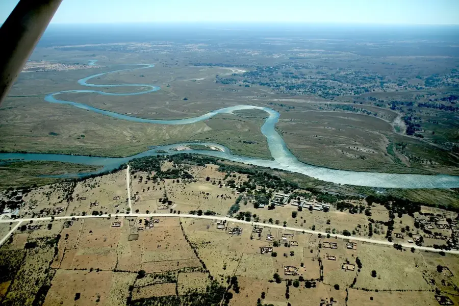
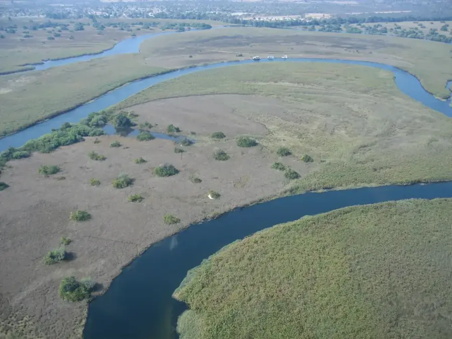
The Kubango River, mostly known internationally as the Okavango, originates in the high-rainfall Bié Plateau of central Angola and is the centerpiece of one of the world's most unique inland deltas. The river flows for over 1,600 kilometers in a southeastern direction, initially passing through Angola and later forming the border with Namibia before disappearing into the Okavango Delta in Botswana. In Angola, the river is known as the Kubango and cuts through vast plateaus and dry forests. Geographically, it is remarkable as it has no outlet to an ocean, ending instead in an endorheic basin. The Kubango feeds a vast network of channels and lagoons that provide habitat for immense biodiversity, including elephants, hippos, and crocodiles. It plays a central role in the Kavango-Zambezi (KAZA) transfrontier conservation project. The annual flood pulse of the Kubango is crucial for the ecological balance of the entire Kalahari region. For the local population in Angola, the river is a vital source of fishing and drinking water.
Best time to visit & climate
The most pleasant time to visit is May, Jun, Aug.
| Jan | Feb | Mar | Apr | May | Jun | Jul | Aug | Sep | Oct | Nov | Dec | |
|---|---|---|---|---|---|---|---|---|---|---|---|---|
| Avg °C | 27 | 26 | 25 | 24 | 21 | 18 | 18 | 21 | 25 | 29 | 28 | 28 |
| Rain mm | 130 | 129 | 89 | 26 | 2 | 0 | 0 | 0 | 2 | 11 | 69 | 81 |
📋 Practical info
Geography
Facts
- Total length: approx. 1,600 km
- Source: Bié Plateau, Angola
- Mouth: Okavango Delta
- System: Endorheic basin
- Region: Okavango-Zambezi KAZA
- Main fauna: Elephants, crocodiles
Explore nearby
Notable places around
Route planner — Car & Motorhome
Where do you start? We build the route here, with stops and country notes along the way.
© OpenStreetMap contributors · OpenRouteService
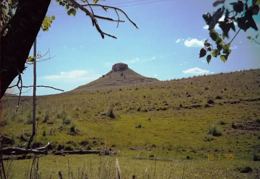
Sights nearby
Frequently asked questions
Can you boat on the Kubango?
What is the best time to visit the Kubango?
Is the area family-friendly?
What is the Kubango known for?
Are there good photo spots?
Kubango: where is it located?
Kubango: when is the best time to visit?
Kubango: why is it worth visiting?

Nearby cities