Plizio Visual Lab
Etosha Pan

Weather…
Water temperature…
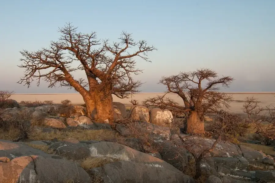
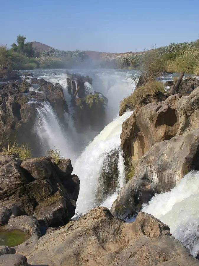
The Etosha Pan in northern Namibia is a vast, flat salt pan covering approximately 4,800 square kilometers, forming the centerpiece of the Etosha National Park. It is the remnant of an ancient inland lake that was cut off from the Kunene River by tectonic shifts millions of years ago, eventually evaporating over time. Today, the pan is a shimmering whitish-grey expanse of salt-encrusted clay, so large that it is clearly visible from space. During exceptionally high rainfall seasons, a thin layer of water covers parts of the pan, attracting thousands of flamingos and white pelicans for breeding. In the dry season, the pan itself is a desolate wasteland, but the perennial springs located along its southern fringes provide life-sustaining water for elephants, lions, black rhinos, and numerous antelope species. The name 'Etosha' translates to 'Great White Place' in the local Ovambo language. The landscape features a surreal backdrop for wildlife viewing, often characterized by extreme heat hazes and shimmering mirages.
Best time to visit & climate
The most pleasant time to visit is May, Jun, Aug.
| Jan | Feb | Mar | Apr | May | Jun | Jul | Aug | Sep | Oct | Nov | Dec | |
|---|---|---|---|---|---|---|---|---|---|---|---|---|
| Avg °C | 27 | 26 | 26 | 24 | 21 | 18 | 17 | 21 | 25 | 28 | 28 | 28 |
| Rain mm | 95 | 99 | 70 | 21 | 1 | 0 | 0 | 0 | 2 | 14 | 38 | 60 |
📋 Practical info
Geography
Facts
- The pan is roughly 120 kilometers long and 72 kilometers wide.
- It was formed about 10 million years ago from the drying of a massive lake.
- The pan accounts for about 25% of the total area of Etosha National Park.
- It is one of the most important breeding sites for flamingos in Southern Africa.
- During the dry season, salt dust from the pan is blown across the continent.
- The first Europeans to reach the pan were Francis Galton and Charles Andersson in 1851.
Explore nearby
Notable places around
Route planner — Car & Motorhome
Where do you start? We build the route here, with stops and country notes along the way.
© OpenStreetMap contributors · OpenRouteService
Sights nearby
Frequently asked questions
What is the Etosha Pan?
When do I see the most animals?
Am I allowed to get out?
Which animals will I surely see?
Do I need a guide?
Etosha Pan: where is it located?
Etosha Pan: when is the best time to visit?
Etosha Pan: why is it worth visiting?

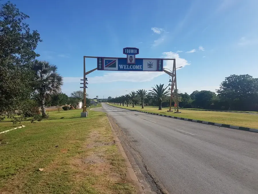
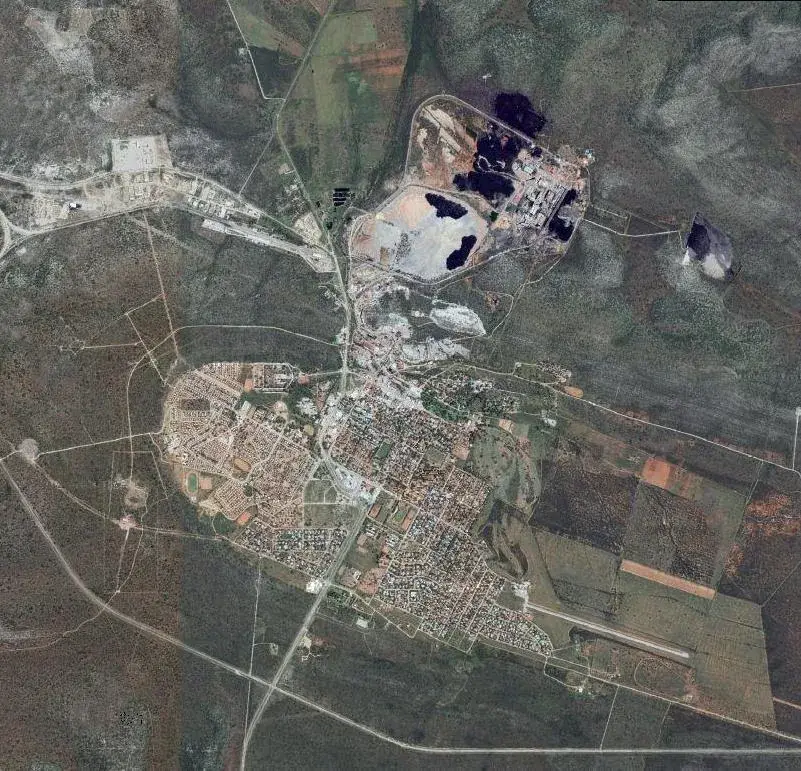
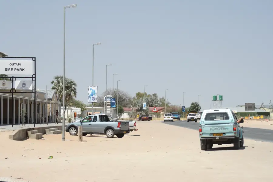
Nearby cities
Nature
More places