Plizio Visual Lab
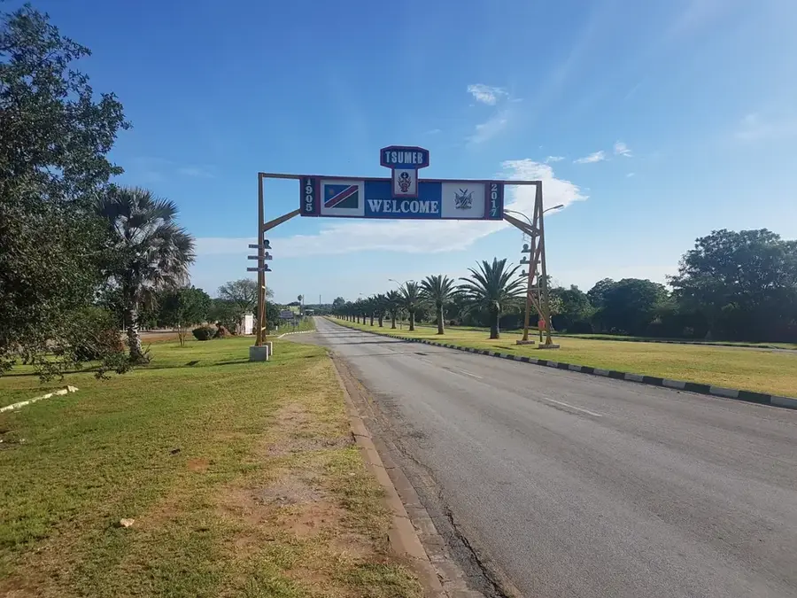
Tsumeb Farm Region
Weather…
Water temperature…
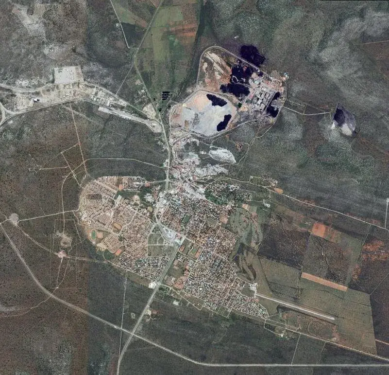
The farming region around Tsumeb, together with Grootfontein and Otavi, forms the so-called Maize Triangle, the most significant crop-producing area in Namibia. The region benefits from above-average annual rainfall of approximately 500 to 600 millimeters and the fertile karst soils of the Otavi Mountains. Historically, Tsumeb was primarily known for its copper mine opened in 1905, but agriculture developed concurrently to supply the mining industry's needs. Today, maize, wheat, sorghum, and sunflowers are grown here on a commercial scale using modern irrigation techniques. The region's unique geological features allow for the extraction of groundwater from vast underground lakes and cave systems to sustain crops during dry spells. Tsumeb serves as a critical logistical hub for distributing agricultural products throughout the country and into neighboring Angola.
- Location: Namibia
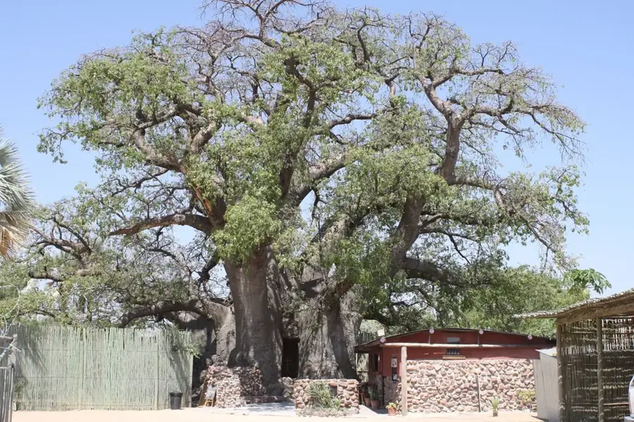
- Top sights: St. Barbara · Tsumeb Museum
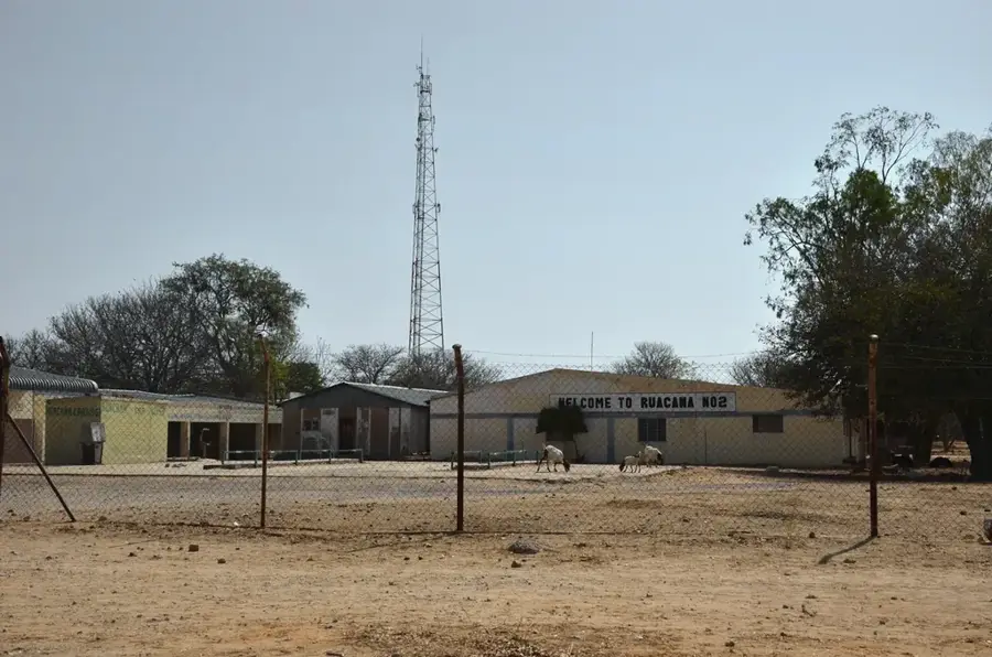
- Nearby: Grootfontein (57 km)
Best time to visit & climate
The most pleasant time to visit is May, Jun, Aug.
| Jan | Feb | Mar | Apr | May | Jun | Jul | Aug | Sep | Oct | Nov | Dec | |
|---|---|---|---|---|---|---|---|---|---|---|---|---|
| Avg °C | 26 | 26 | 25 | 24 | 21 | 18 | 17 | 21 | 25 | 28 | 28 | 27 |
| Rain mm | 124 | 109 | 78 | 27 | 2 | 0 | 0 | 0 | 2 | 16 | 57 | 81 |
📋 Practical info
Geography
Facts
- The Maize Triangle covers an area of approximately 15,000 square kilometers.
- Tsumeb receives up to 600 mm of rain, among the highest in Namibia.
- The Tsumeb copper mine operated continuously from 1905 until 1996.
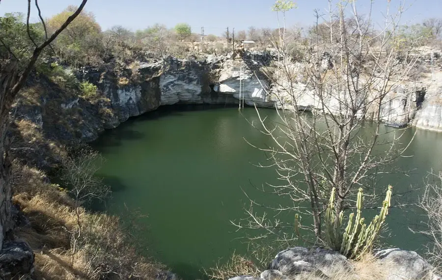
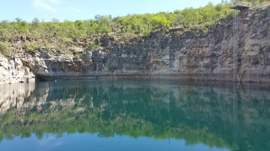
- Underground karst lakes like Lake Otjikoto are located near the region.
- The region produces about 80% of Namibia's locally grown white maize.
- Commercial farms utilize center-pivot irrigation for maximum efficiency.
Explore nearby
Notable places around
Route planner — Car & Motorhome
Where do you start? We build the route here, with stops and country notes along the way.
© OpenStreetMap contributors · OpenRouteService
Sights in the town Tsumeb Farm Region (2)
Sights nearby
Frequently asked questions
What is the Tsumeb farm region known for?
Can one visit the farm region?
What are typical local products?
Is Tsumeb developed for tourism?
What is the climate like in this region?
Tsumeb Farm Region: where is it located?
Tsumeb Farm Region: what is there to see?
Tsumeb Farm Region: when is the best time to visit?
Tsumeb Farm Region: why is it worth visiting?

Nearby cities
Nature
More places