Plizio Visual Lab
Mavinga

ℹ️Practical info — Mavinga
▾
🌤 Weather — 5 days
📍 Nearby
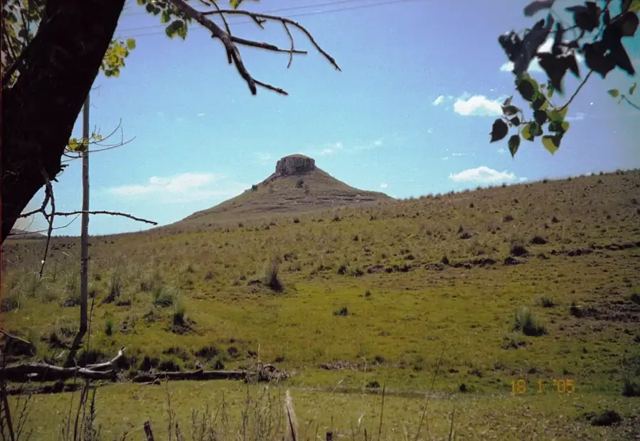
Sights nearby
💡 Tips
- Mavinga is extremely remote; thorough preparation, including extra fuel and spare tires, is essential for reaching it.
- The region has a complex history and remnants of the civil war may still exist; stay on well-marked paths and roads.
- It is a gateway to the vast wilderness of Cuando Cubango; traveling in convoys or with experienced local guides is recommended.
- Facilities are very basic, so bring all necessary supplies, including medical kits and specialized gear.
🍽 Food
Locally sourced and prepared in traditional ways by the community.
The staple carbohydrate, providing energy for long journeys.
Foraged by locals and sometimes available in the small village market.
🛍 Shopping · 🧘 Quiet spots
Stock up on dry goods and bottled water at the few local shops, as supplies further out are non-existent.
Simple, practical crafts made by residents for daily use.
Experience the absolute silence and endless horizons of the surrounding wilderness.
With zero light pollution, the night sky over Mavinga is incredibly clear and peaceful.
Water temperature…
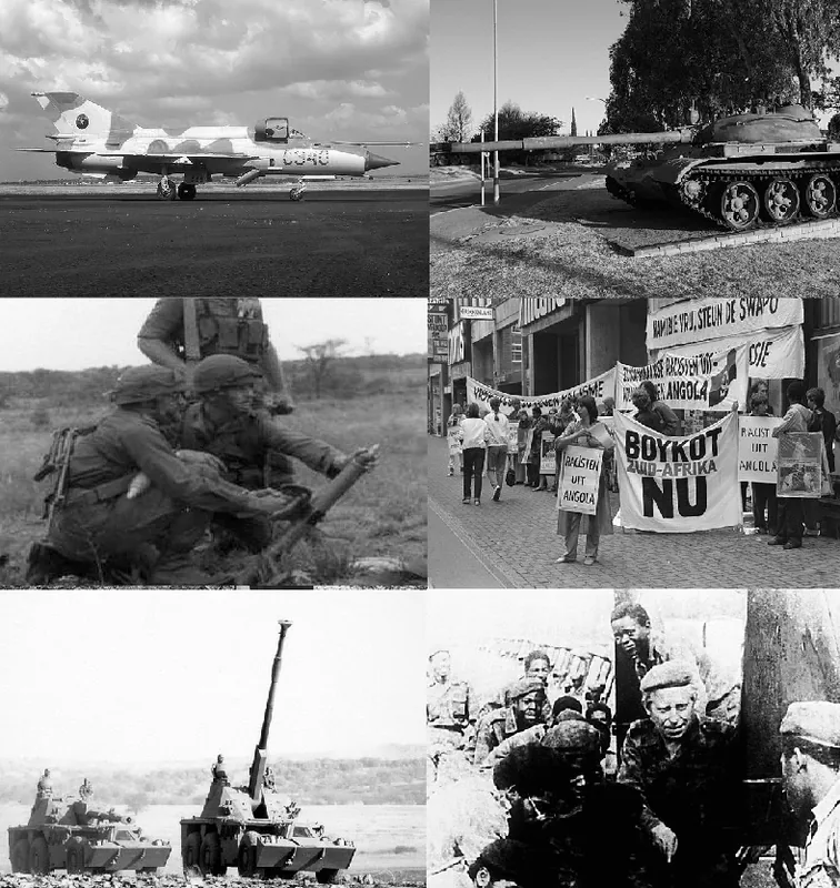
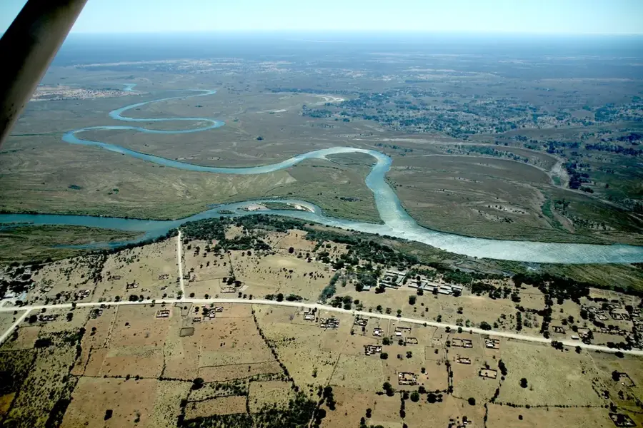
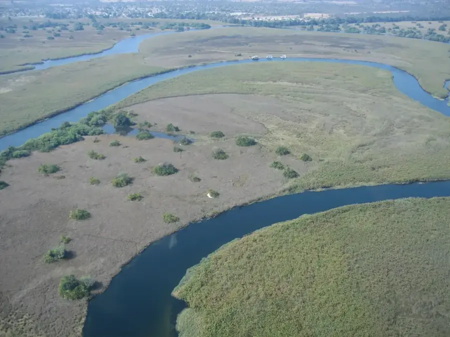
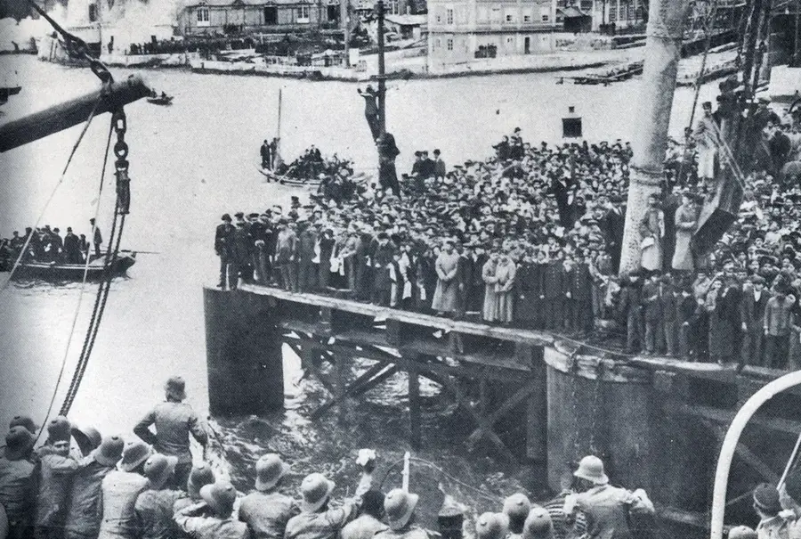
Mavinga is a remote municipality in the eastern part of Angola's Cuando Cubango Province, often referred to as the "end of the world" due to its extreme isolation. Historically, the location played a key strategic role during the Angolan Civil War as a vital logistical base for UNITA forces. The region saw heavy fighting, particularly in the lead-up to the Battle of Cuito Cuanavale, which resulted in the near-total destruction of its original infrastructure. Geographically, Mavinga is part of the vast catchment area of the Okavango River system, set within pristine savannas and dry woodlands. The area is rich in wildlife and forms part of the Kavango-Zambezi (KAZA) Transfrontier Conservation Area, the largest of its kind in the world. Despite its enormous potential for conservation and tourism, access remains a significant challenge due to poor road connectivity and residual unexploded ordnance.
Best time to visit & climate
The most pleasant time to visit is Apr, May, Aug.
| Jan | Feb | Mar | Apr | May | Jun | Jul | Aug | Sep | Oct | Nov | Dec | |
|---|---|---|---|---|---|---|---|---|---|---|---|---|
| Avg °C | 24 | 23 | 23 | 22 | 20 | 18 | 17 | 21 | 25 | 28 | 27 | 25 |
| Rain mm | 208 | 148 | 128 | 29 | 3 | 1 | 0 | 0 | 2 | 11 | 85 | 165 |
Geography
Facts
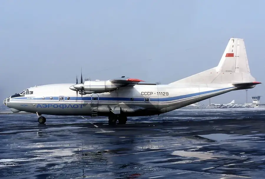
- Mavinga has an airfield that was used for military operations during the war.
- The region is part of the KAZA conservation project established in 2011.
- The Luengue-Luiana National Park directly borders the Mavinga area.
- The distance to the provincial capital, Menongue, exceeds 400 kilometers.
- The Lomba River flows north of the town, where a major tank battle occurred.
- The surrounding area is home to rare species such as wild dogs and cheetahs.
Route planner — Car & Motorhome
Where do you start? We build the route here, with stops and country notes along the way.
© OpenStreetMap contributors · OpenRouteService
Frequently asked questions
How many days do you need for Mavinga?
When is the best time to visit Mavinga?
How do you get to Mavinga?
What should you eat in Mavinga?
Is Mavinga family-friendly?
Mavinga: where is it located?
Mavinga: when is the best time to visit?
Mavinga: why is it worth visiting?