Plizio Visual Lab
Seman River
Weather…
Water temperature…
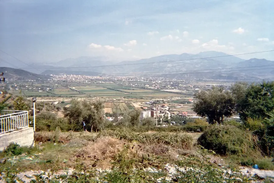
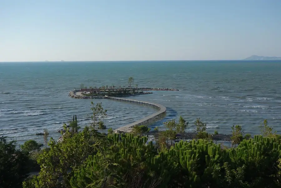
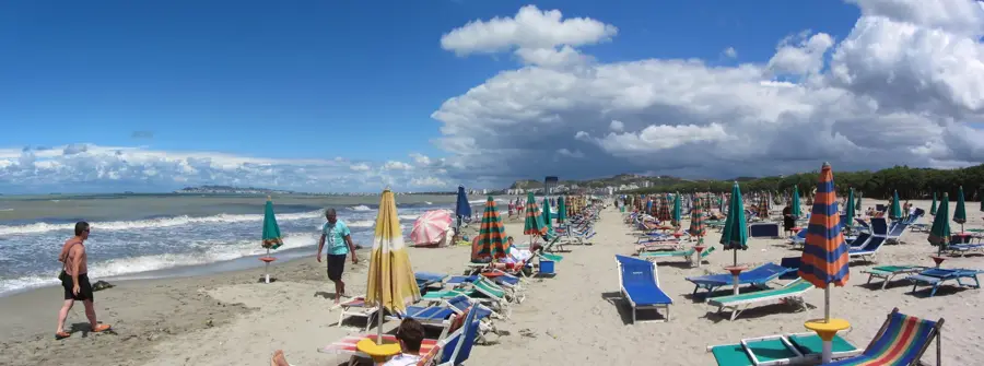
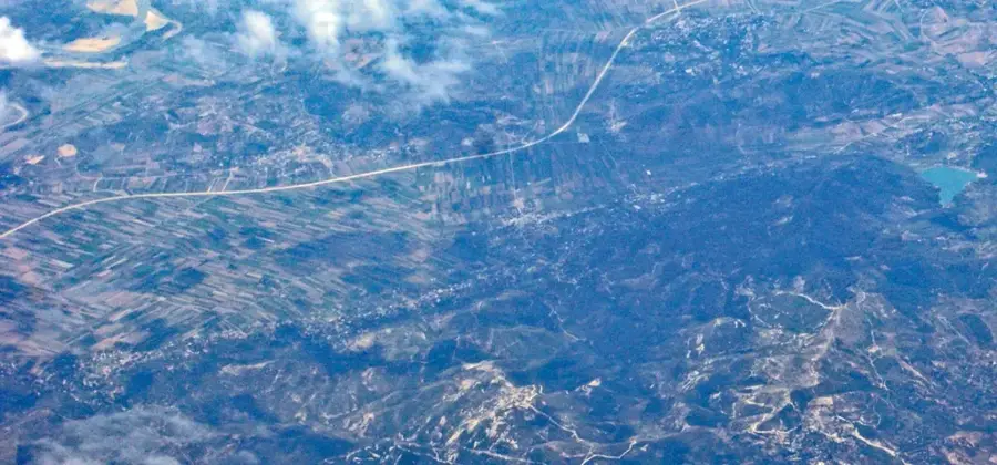
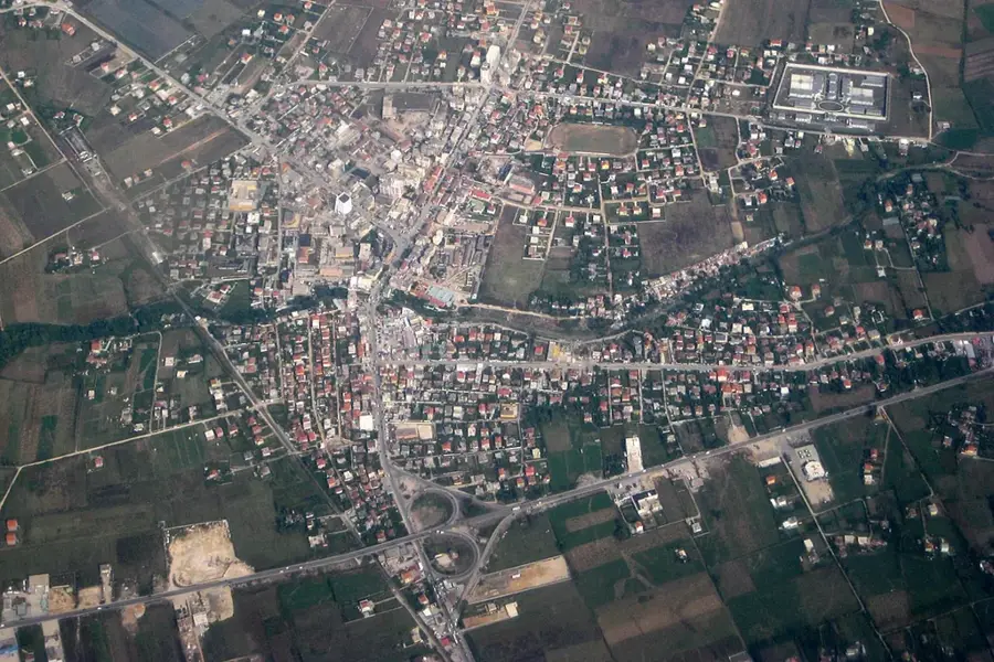
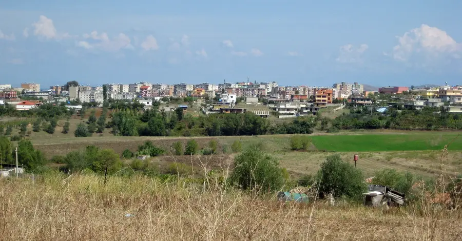
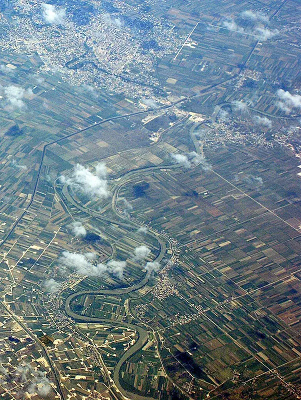
The Seman River is one of Albania's most significant rivers, flowing through the vast and fertile Myzeqe plain in the southwest. It is formed by the confluence of the Devoll and Osum rivers near the town of Kuçovë and travels approximately 85 kilometers before reaching the Adriatic Sea. The Seman is characterized by its highly meandering course and a high sediment load, which continuously reshapes its delta and the surrounding coastline. Historically, the river has shifted its bed multiple times, which significantly influenced the development of agricultural land and human settlements in the region. Its combined drainage basin, including its major tributaries, covers nearly 6,000 square kilometers, making it the largest river system in Albania. The river's water is a vital resource for irrigation, supporting the Myzeqe plain's intensive production of crops like wheat and vegetables. The Seman delta is an ecologically important wetland area, providing a habitat for diverse migratory birds and aquatic species. Today, the river remains a cornerstone of Albania's agricultural economy while facing environmental challenges related to industrial activity.
- Location: Albania
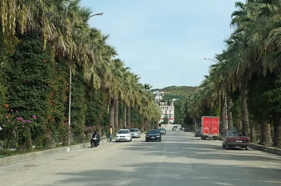
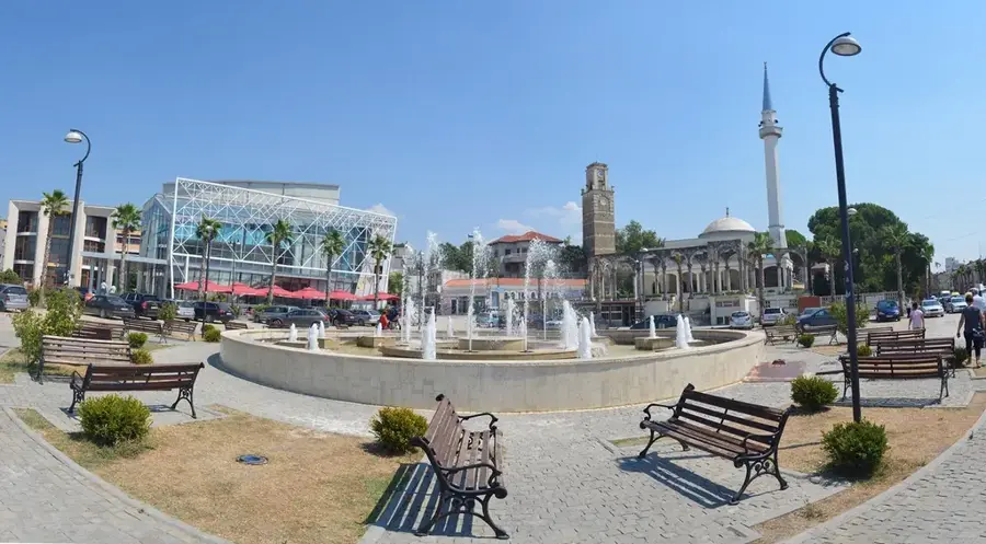
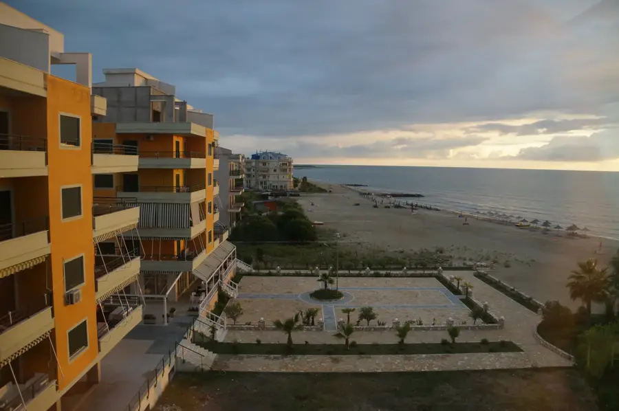
- Nearby: Adriatik (12 km)
Best time to visit & climate
The most pleasant time to visit is May, Jun, Sep.
| Jan | Feb | Mar | Apr | May | Jun | Jul | Aug | Sep | Oct | Nov | Dec | |
|---|---|---|---|---|---|---|---|---|---|---|---|---|
| Avg °C | 10 | 10 | 12 | 15 | 19 | 23 | 26 | 26 | 23 | 19 | 15 | 11 |
| Rain mm | 96 | 85 | 77 | 65 | 60 | 41 | 25 | 25 | 76 | 93 | 113 | 116 |
📋 Practical info
Geography
Facts
- The Seman River is 85 km long from the Devoll-Osum confluence.
- Its combined drainage basin covers nearly 6,000 square kilometers.
- The river is known for its extreme meandering through the Myzeqe plain.
- It contributes significantly to the formation of Albania's coastal dunes.
- The Seman is a major source of irrigation for the nation's 'breadbasket'.
- The river carries one of the highest sediment loads in the Adriatic basin.
Explore nearby
Notable places around
Route planner — Car & Motorhome
Where do you start? We build the route here, with stops and country notes along the way.
© OpenStreetMap contributors · OpenRouteService
Sights nearby
Frequently asked questions
Through which regions does the Seman River flow?
Which rivers form the Seman?
Where does the Seman River empty?
Is the Seman River navigable?
What role does the river play in agriculture?
Seman River: where is it located?
Seman River: when is the best time to visit?
Seman River: why is it worth visiting?

Nearby cities