Plizio Visual Lab
Prrenjas
ℹ️Practical info — Prrenjas
▾
🌤 Weather — 5 days
📍 Nearby
Sights nearby
💡 Tips
- Prrenjas is right on the main route to Lake Ohrid; use it for a break before crossing the Qafë Thanë pass.
- Visit the monuments commemorating the town's mining past for an insight into local history.
- Use the location as a base for hiking in the Shebenik-Jabllanicë National Park, one of Albania's most pristine parks.
- Be prepared for changing weather conditions, as the town is in a mountain basin and can be quite windy.
- Try the honey sold at roadside stalls; it is considered some of the best in the region.
🍽 Food
This national dish of lamb and yogurt is prepared very traditionally in the local eateries.
Look for dark forest honey sourced directly from the Shebenik National Park area.
In restaurants near the mountain pass, you can often find fresh trout from the local streams.
🛍 Shopping · 🧘 Quiet spots
First-rate for buying herbal teas, nuts, and local seasonal fruits.
In the area, you can often find socks and rugs made from local sheep's wool.
Just a short walk from town, you can reach isolated mountain paths.
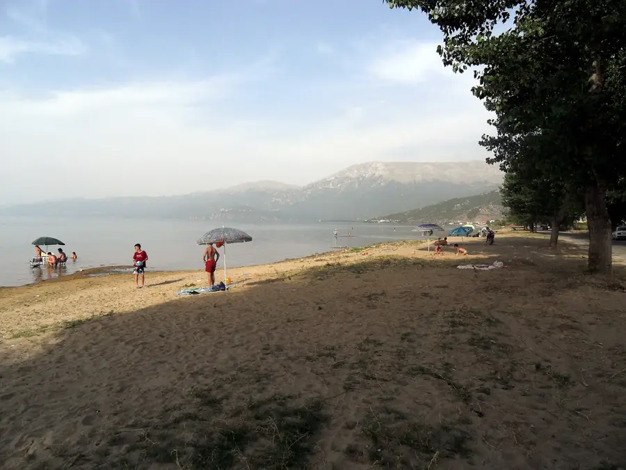
A brief stop provides a calming view of the distant Lake Ohrid.
Water temperature…
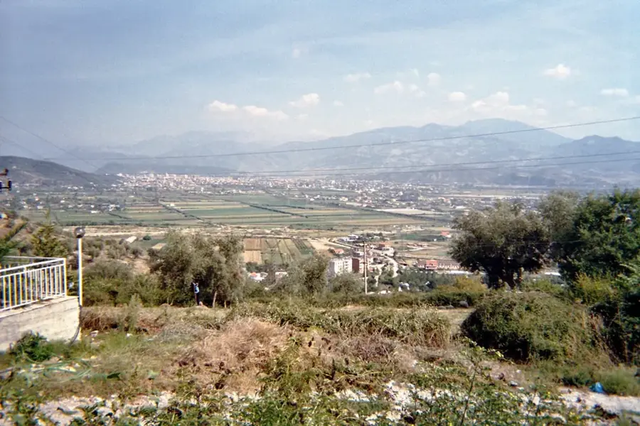
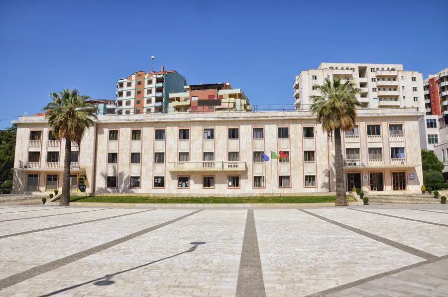
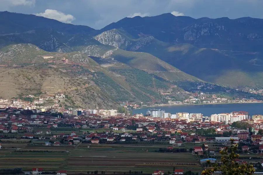
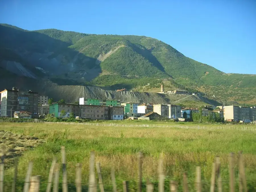
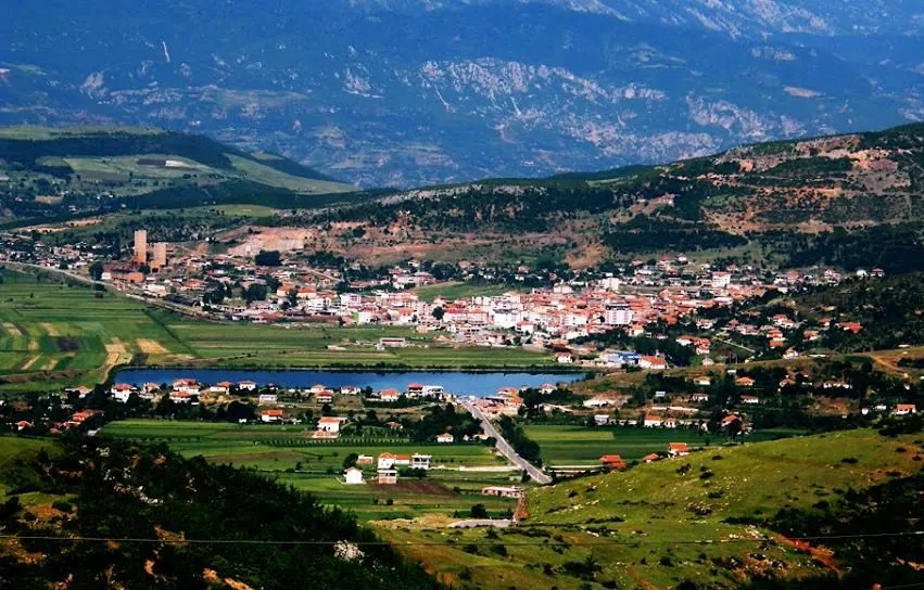
Prrenjas is an industrial town in eastern Albania, located in the Elbasan County near the Qafë Thanë mountain pass and the border with North Macedonia. The town's modern growth was primarily driven by the mining industry, following the discovery of substantial iron-nickel deposits in the 1960s. Geographically, Prrenjas occupies a narrow valley that serves as a strategic transit corridor connecting the Shkumbin River valley to the Lake Ohrid basin. The region's history dates back to Roman times, as evidenced by the nearby route of the Via Egnatia, the ancient highway that linked Rome to Constantinople. During the communist period, the town was developed as a model mining center, resulting in a distinct architectural style from that era. Today, Prrenjas is transitioning from its heavy industrial past, focusing on its role as a key logistics point along the SH3 national highway and exploring potential for mountain tourism in the adjacent Shebenik-Jabllanicë National Park.
- Location: Albania
- Top sights: ex-Iron-Nickel Mine of Prrenjas · Rezervuari i Përrenjasit
- Nearby: Lin (7 km)
- Population: ~5.847
Best time to visit & climate
The most pleasant time to visit is Jun–Aug.
| Jan | Feb | Mar | Apr | May | Jun | Jul | Aug | Sep | Oct | Nov | Dec | |
|---|---|---|---|---|---|---|---|---|---|---|---|---|
| Avg °C | 0 | 1 | 5 | 9 | 14 | 19 | 22 | 22 | 17 | 12 | 6 | 1 |
| Rain mm | 76 | 68 | 64 | 61 | 61 | 44 | 30 | 29 | 70 | 81 | 92 | 92 |
Geography
Facts
- Major center for iron-nickel mining since the 1960s
- Located near the strategic Qafë Thanë border pass
- The ancient Via Egnatia passed through this region
- Part of the Elbasan County in eastern Albania
- Adjacent to the Shebenik-Jabllanicë National Park
- Key transit point on the SH3 national highway corridor
Explore nearby
Notable places around
Route planner — Car & Motorhome
Where do you start? We build the route here, with stops and country notes along the way.
© OpenStreetMap contributors · OpenRouteService
Sights in the town Prrenjas (2)
Frequently asked questions
What is the economic basis of Prrenjas?
Is Prrenjas located by Lake Ohrid?
How is the climate in Prrenjas?
What natural sights are there?
Are there railway connections?
Prrenjas: where is it located?
Prrenjas: what is there to see?
Prrenjas: when is the best time to visit?
Prrenjas: why is it worth visiting?

Nearby cities