Plizio Visual Lab
Nemërçka Range
Weather…
Water temperature…
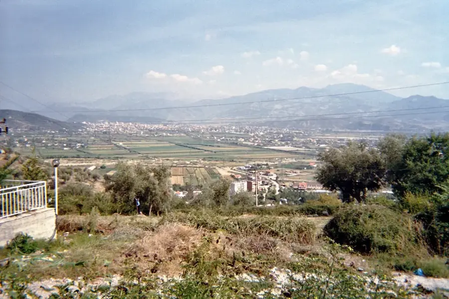
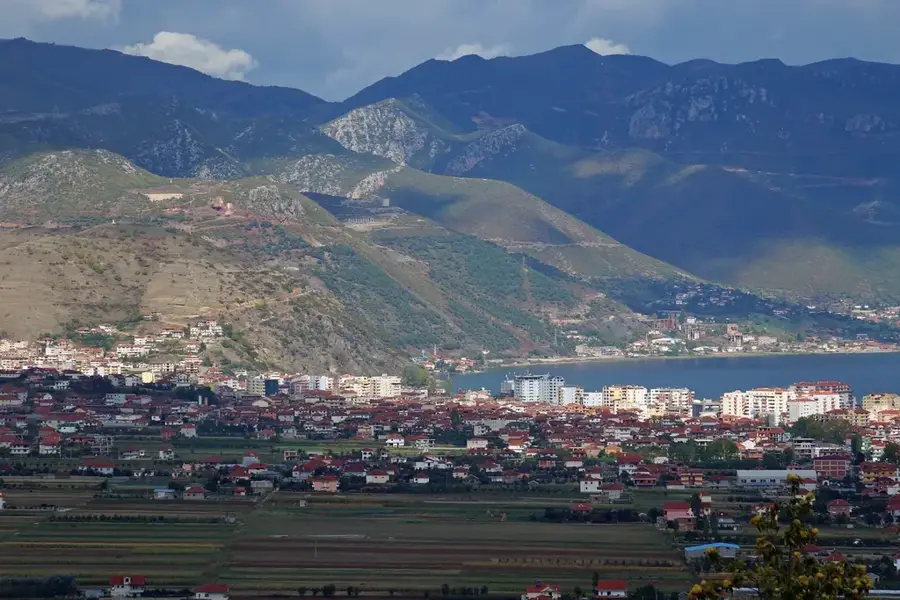
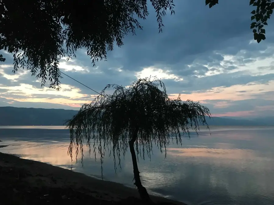
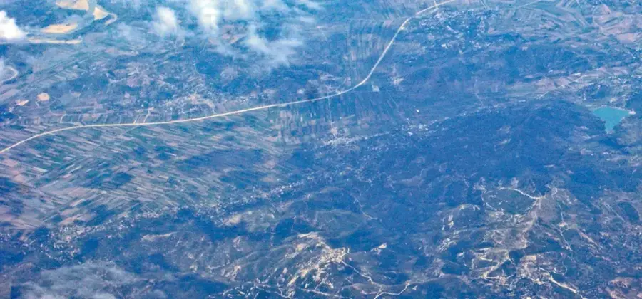
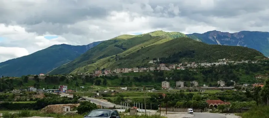
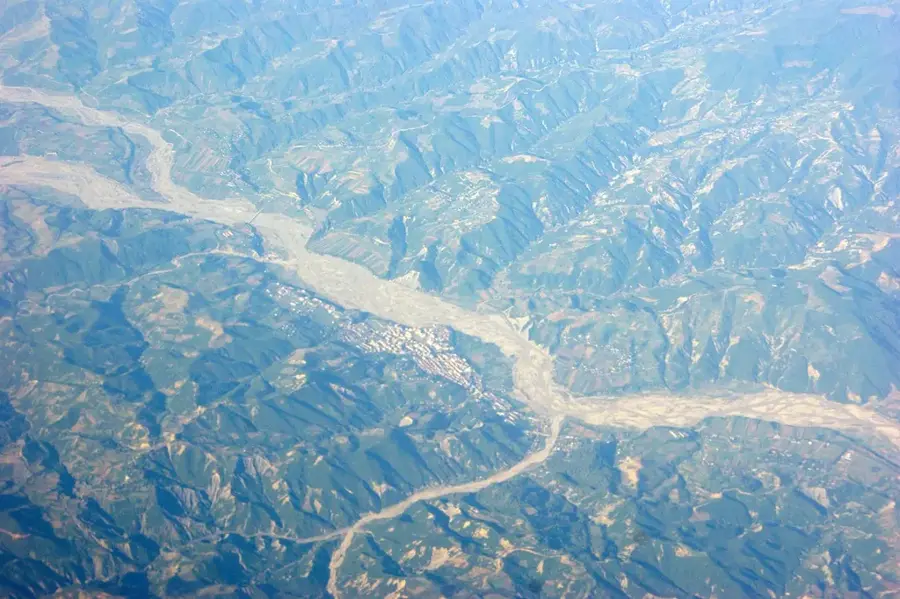
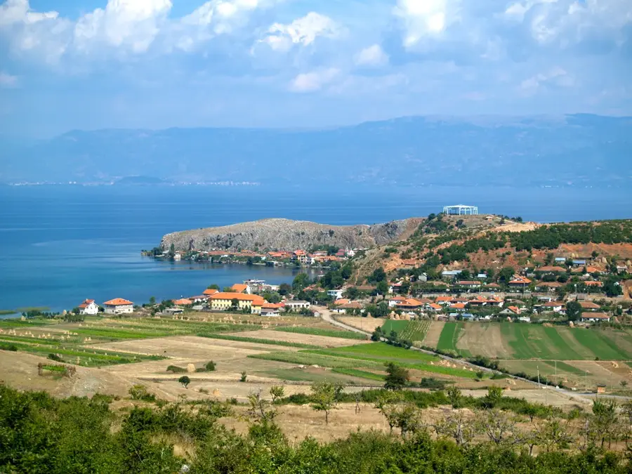
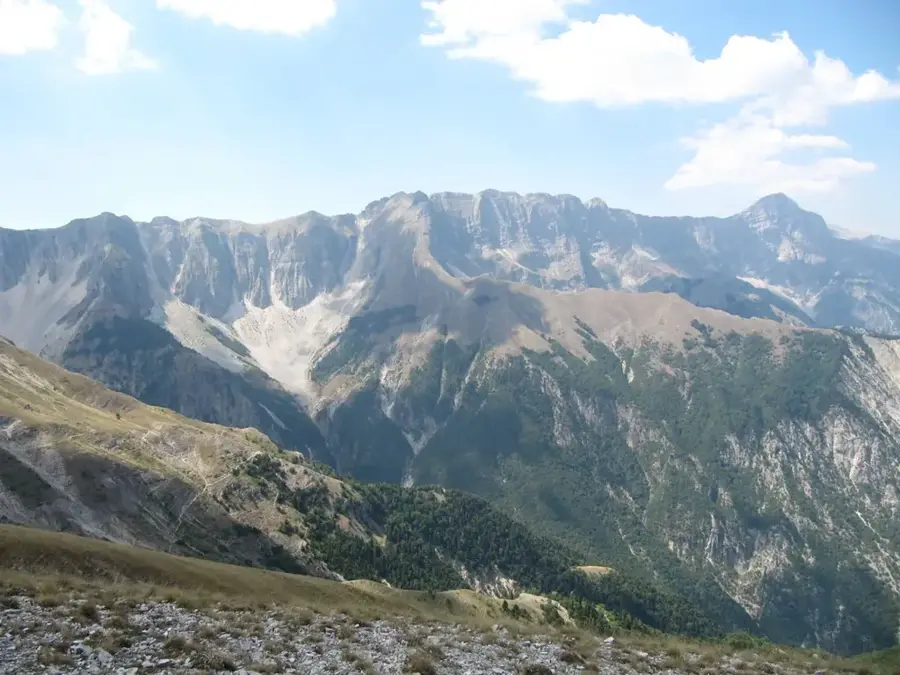
The Nemërçka Range is a majestic limestone mountain chain in southern Albania, stretching along the Vjosa Valley between the districts of Përmet and Gjirokastër. Its highest summit, Maja e Papingut, rises to 2,485 meters and is famous for its eastern face, a near-vertical limestone precipice that drops over 1,000 meters toward the Vjosa River. Geologically, the range features prominent karst formations and deep glacial cirques, reflecting its complex environmental history. The area remains a stronghold for traditional sheep herding, with high-altitude pastures occupied by shepherds throughout the summer months. The mountain also serves as a critical water catchment area, with numerous springs providing fresh water to the surrounding villages. Historically, the range's formidable topography contributed to the cultural isolation and preservation of local traditions, such as Albanian iso-polyphonic singing. Today, it is a prime destination for advanced hikers and mountaineers, offering expansive views that reach deep into the Pindus range across the Greek border.
- Location: Albania
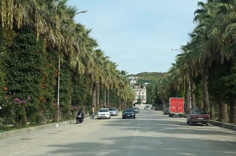
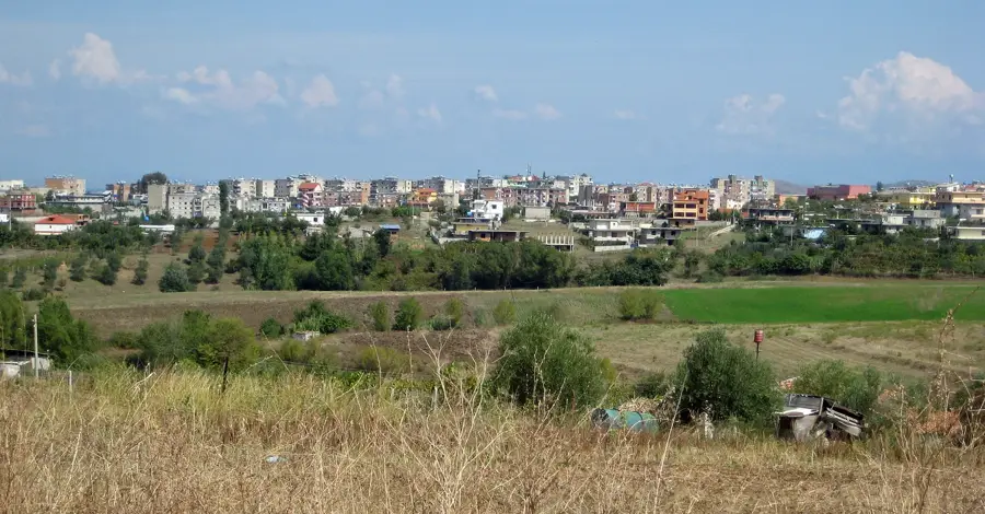
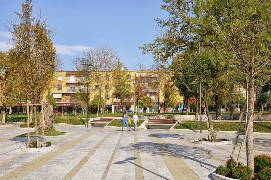
- Nearby: Përmet (14 km)
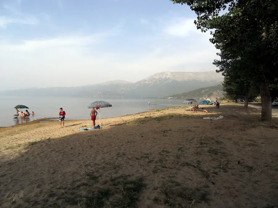
Best time to visit & climate
The most pleasant time to visit is Jun–Aug.
| Jan | Feb | Mar | Apr | May | Jun | Jul | Aug | Sep | Oct | Nov | Dec | |
|---|---|---|---|---|---|---|---|---|---|---|---|---|
| Avg °C | 2 | 2 | 6 | 10 | 14 | 20 | 23 | 23 | 18 | 13 | 8 | 3 |
| Rain mm | 107 | 94 | 82 | 56 | 55 | 37 | 22 | 29 | 82 | 103 | 129 | 136 |
📋 Practical info
Geography
Facts
- Maja e Papingut is the highest peak at 2,485m
- Features a massive 1,000m vertical drop in the east
- Positioned between the Vjosa and Drino valleys
- Composed primarily of rugged limestone
- Core region for traditional iso-polyphonic music
- Contains distinct Pleistocene glacial cirques
Explore nearby
Notable places around
Route planner — Car & Motorhome
Where do you start? We build the route here, with stops and country notes along the way.
© OpenStreetMap contributors · OpenRouteService
Sights in the town Nemërçka Range (1)
Sights nearby
Frequently asked questions
What is special about the Nemërçka range?
What is the highest point of Nemërçka?
From where is the best access to Nemërçka?
Are there settlements there?
Is the mountain range suitable for winter sports?
Nemërçka Range: where is it located?
Nemërçka Range: when is the best time to visit?
Nemërçka Range: why is it worth visiting?

Nearby cities