Plizio Visual Lab
Maja e Papingut
Weather…
Water temperature…
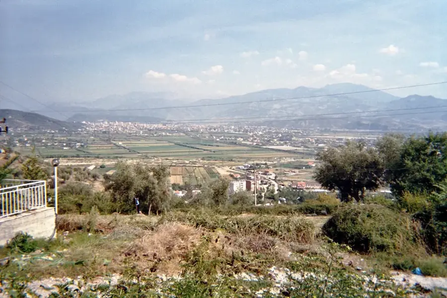
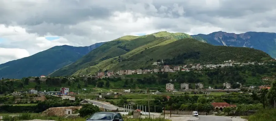
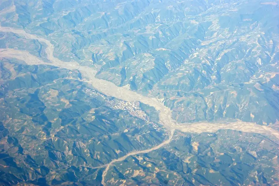
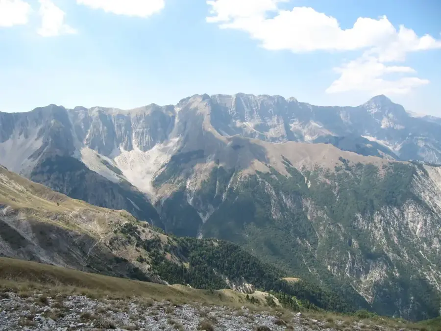
Maja e Papingut is the highest peak of the Nemërçka mountain range in southern Albania, reaching an elevation of 2,482 meters near the Greek border. The mountain is famous for its dramatic eastern face, a near-vertical limestone wall that drops over 1,000 meters toward the Vjosa River valley. Geologically, the massif is composed of limestone and exhibits extensive karst features, including deep crevices and unexplored cave systems. The region is known for its rugged terrain and supports a diverse alpine flora containing several rare endemic species. Historically, the Nemërçka range served as a formidable strategic barrier and was the site of various military operations during modern conflicts. The climate is distinctly alpine, with heavy winter snowfalls, making the summit accessible primarily during the summer months. The Vjosa valley below is celebrated as one of Europe's last wild rivers and is ecologically inseparable from the mountain ecosystem. Hikers are drawn to Papingut for its panoramic views that extend as far as the Pindus Mountains in Greece. The area's relative isolation has helped preserve traditional pastoral customs in the nearby high-altitude villages.
- Location: Albania
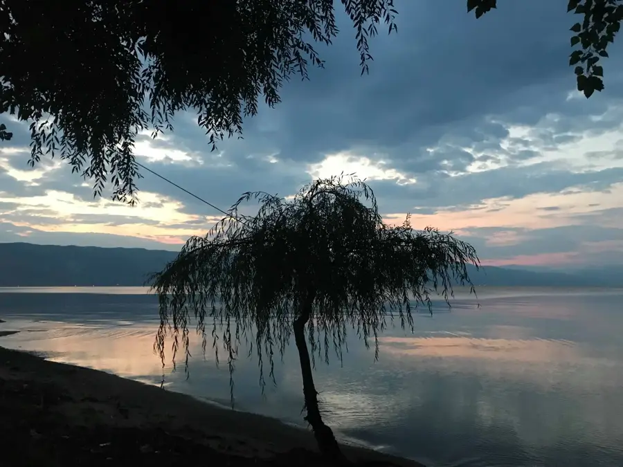
- Top sights: Sopotit Waterfall · View of rocks
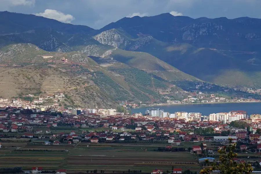
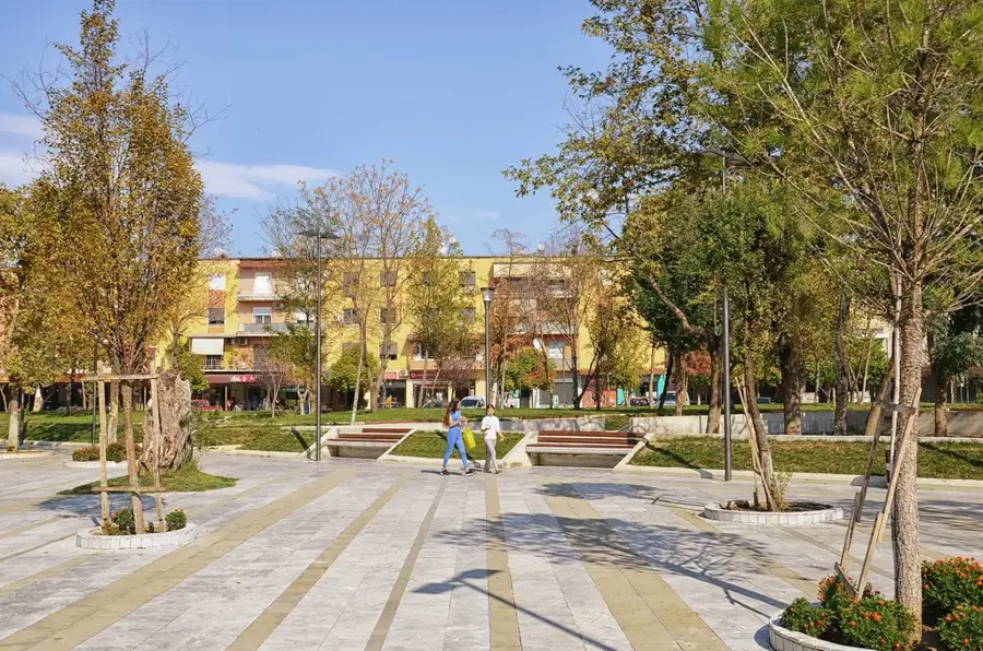
- Nearby: Përmet (13 km)
Best time to visit & climate
The most pleasant time to visit is Jun–Aug.
| Jan | Feb | Mar | Apr | May | Jun | Jul | Aug | Sep | Oct | Nov | Dec | |
|---|---|---|---|---|---|---|---|---|---|---|---|---|
| Avg °C | 2 | 2 | 6 | 10 | 14 | 20 | 23 | 23 | 18 | 13 | 8 | 3 |
| Rain mm | 107 | 94 | 82 | 56 | 55 | 37 | 22 | 29 | 82 | 103 | 129 | 136 |
📋 Practical info
Geography
Facts
- Highest peak in the Nemërçka range at 2,482 meters.
- Features a 1,000-meter vertical limestone drop on the east.
- Located near the Vjosa River in southern Albania.
- Situated very close to the border with Greece.
- The terrain is dominated by complex karst formations.
- An important habitat for rare South Balkan alpine flora.
Explore nearby
Notable places around
Route planner — Car & Motorhome
Where do you start? We build the route here, with stops and country notes along the way.
© OpenStreetMap contributors · OpenRouteService
Sights in the town Maja e Papingut (2)
Sights nearby
Frequently asked questions
What is Maja e Papingut?
How high is this mountain?
What view is there from the summit?
What is the difficulty level of the hike?
Is there accommodation nearby?
Maja e Papingut: where is it located?
Maja e Papingut: what is there to see?
Maja e Papingut: when is the best time to visit?
Maja e Papingut: why is it worth visiting?

Nearby cities