Plizio Visual Lab
Maja e Valamarës
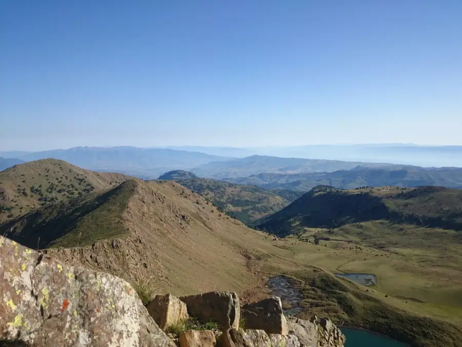
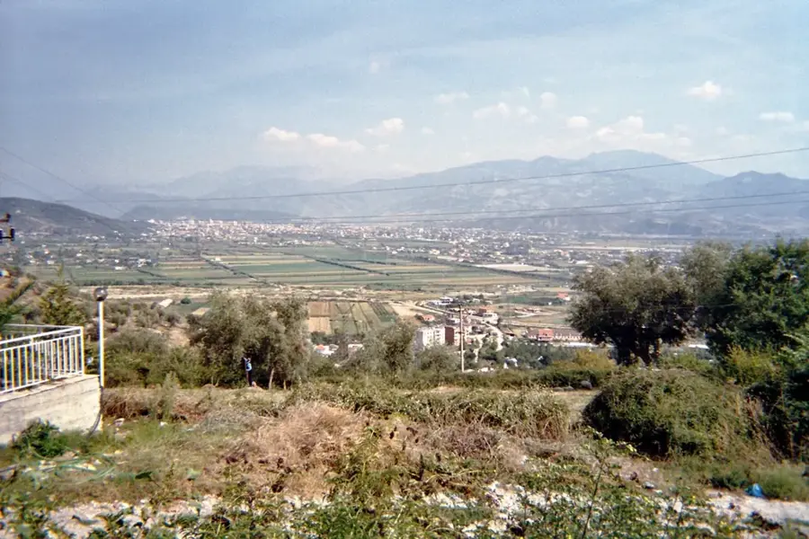
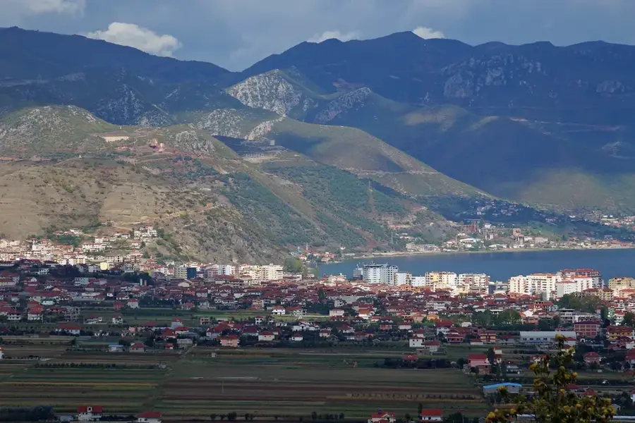
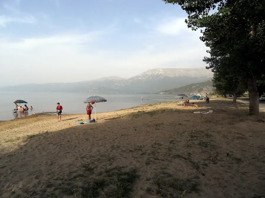
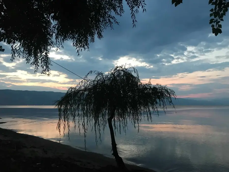
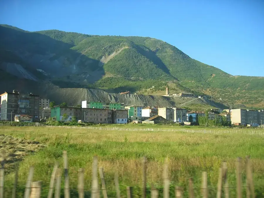
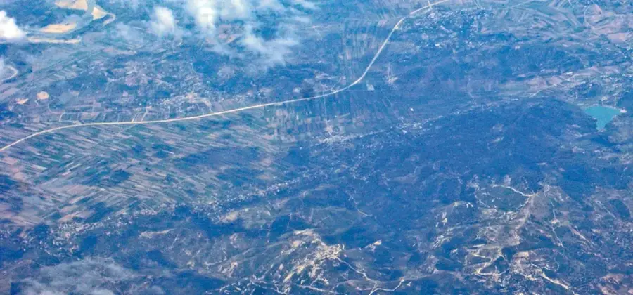
Maja e Valamarës is the highest peak of the Valamara mountain range in central-southeastern Albania, reaching an altitude of 2,373 meters. It stands at the triple border point between the districts of Gramsh, Pogradec, and Korçë, acting as a significant regional watershed. The geological structure consists of sedimentary rocks and limestone, featuring glacial landforms such as cirques and small glacial lakes near the ridges. Its flora is highly diverse, ranging from dense beech and pine forests on the lower slopes to vast alpine meadows at higher elevations. Historically, the remote nature of the range provided sanctuary during periods of conflict, and today it remains one of Albania's most pristine wilderness areas. Several key rivers, including tributaries of the Shkumbin and Devoll, find their sources in the springs of the Valamara massif. On clear days, the summit provides spectacular views of Lake Ohrid to the east and the Tomorr massif to the west. It is a favored destination for adventure hikers seeking solitude away from established tourist routes. The preservation of the area's biodiversity is of critical ecological importance to the nation's natural heritage.
- Location: Albania
- Nearby: Pogradec (20 km)
Best time to visit & climate
The most pleasant time to visit is Jun–Aug.
| Jan | Feb | Mar | Apr | May | Jun | Jul | Aug | Sep | Oct | Nov | Dec | |
|---|---|---|---|---|---|---|---|---|---|---|---|---|
| Avg °C | 0 | 1 | 5 | 9 | 14 | 19 | 22 | 22 | 17 | 12 | 6 | 1 |
| Rain mm | 76 | 68 | 64 | 61 | 61 | 44 | 30 | 29 | 70 | 81 | 92 | 92 |
📋 Practical info
Geography
Facts
- Highest elevation reaches 2,373 meters above sea level.
- Located at the intersection of Gramsh, Pogradec, and Korçë.
- Home to several high-altitude glacial lakes.
- Primary source for multiple tributaries of the Devoll River.
- Features a mix of deciduous forests and alpine tundras.
- Provides expansive views of both Lake Ohrid and Mt. Tomorr.
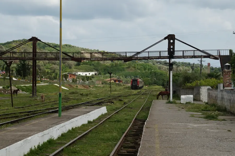
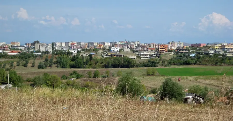
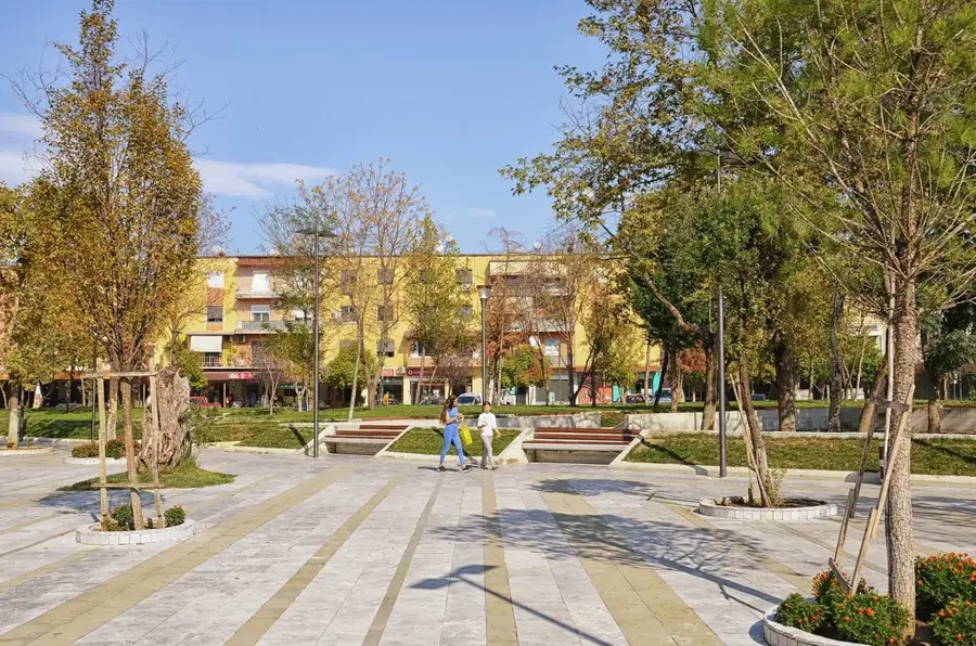
Explore nearby
Notable places around
Route planner — Car & Motorhome
Where do you start? We build the route here, with stops and country notes along the way.
© OpenStreetMap contributors · OpenRouteService
Sights in the town Maja e Valamarës (1)
Sights nearby
Frequently asked questions
Where is the Valamara summit located?
Are there glacial lakes on Valamara?
How high is the Valamara summit?
What is the vegetation like at this altitude?
Is Valamara a popular hiking destination?
Maja e Valamarës: where is it located?
Maja e Valamarës: when is the best time to visit?
Maja e Valamarës: why is it worth visiting?

Nearby cities