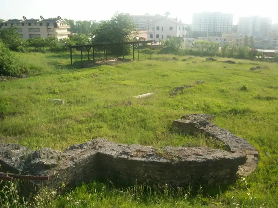
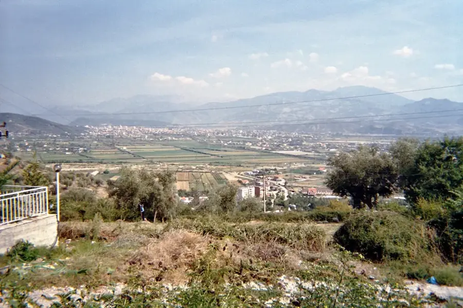
Plizio Visual Lab

Karaburun Peninsula

Plizio editorial teamData Sources
Landmark
—°6
Karaburun Peninsula (Albania)

Weather…

The Karaburun Peninsula is Albania's largest peninsula, acting as a natural divider between the Adriatic and Ionian Seas. Stretching for about 15 kilometers, it is characterized by a rugged, untouched landscape of steep limestone cliffs and secluded coves. Because the peninsula was a restricted military zone for decades, its natural environment has remained remarkably preserved from human development. Together with Sazan Island, it forms Albania's first Marine National Park, established to protect its diverse underwater life. Historically, Karaburun was a strategic waypoint for mariners, evidenced by ancient inscriptions carved into the rocks at Grama Bay. One of its most famous natural features is the Haxhi Ali Cave, the largest sea cave in the country, which was once used as a hideout by pirates. The peninsula is accessible primarily by boat or through challenging hiking trails, maintaining its status as a pristine wilderness.

Best time to visit & climate

The most pleasant time to visit is May–Jul.

JanFebMarAprMayJunJulAugSepOctNovDec
Avg °C101012151823262622191511
Rain mm103908261573622268098123128

📋 Practical info

🚪
Visiting
The peninsula is a nature reserve and can be accessed from the outside at any time, but there are no fixed paths or facilities. Access to certain areas may be seasonally restricted to protect nature.
🕒
Typical hours
As it is an open nature reserve, there are no opening hours; access is possible during daylight. It is recommended to explore the peninsula only during daylight as there is no lighting.
📷
Photography
Photography is allowed without restrictions throughout the nature reserve. The untouched nature and coastal landscape offer excellent subjects for nature and landscape photography.
⏱️
Time needed
For a short exploration of the coastal sections, you should plan at least two hours. An extensive hike across the entire peninsula can take a full day.
Combine with
The peninsula can be combined with a boat trip from Vlora, which often also visits the nearby islands and bays. The city of Vlora with its promenade is also suitable for a combination.
🧭
Getting there
The peninsula is best accessible by boat or a rugged vehicle as the roads are often unpaved. From Vlora, there are organized boat tours that visit the peninsula.
💡
Insider tip
Bring enough water, sun protection, and insect repellent as there are no supply points on the peninsula. Plan your hike early in the morning to avoid the midday heat.

Geography

Coordinates
40.38000, 19.35000

Facts

  • The peninsula is approximately 15 kilometers long.
  • The highest peak is Maja e Koretës at 826 meters.
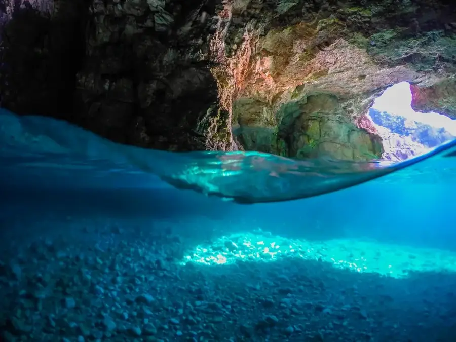
  • Contains the Haxhi Ali Cave, Albania's largest sea cave.
  • Part of the first Marine National Park since 2010.
  • Grama Bay features ancient inscriptions from sailors.
  • Habitat for the rare Mediterranean monk seal.

Explore nearby

Notable places around

Route planner — Car & Motorhome

Where do you start? We build the route here, with stops and country notes along the way.

Vehicle
Only stops with (optional):

© OpenStreetMap contributors · OpenRouteService

Sights in the town Karaburun Peninsula (6)

Mouth of God🎡 recreation

Mouth of God, a natural rock arch and beach on Karaburun Peninsula.

Dafina Beach🎡 recreation

Dafina Beach is hidden away on the impressive Karaburun Peninsula. With its secluded location, it promises absolute peace and undisturbed swimming fun amidst wild coastal nature. A secret spot for adventurers, ideally reached by boat or hiking trails.

Zhanpovel🎡 recreation

Zhanpovel beach, a secluded cove on Karaburun Peninsula.

Maja e Koretës📍 landmark

A mountain peak on the Karaburun Peninsula overlooking the Albanian coast.

Dafina Bay📍 landmark

A scenic bay on the Karaburun Peninsula, known for its clear waters.

peddle beach📍 landmark

A characteristic pebble beach in a bay of the Albanian Riviera.

Sights nearby

Frequently asked questions

How do you get to the Karaburun Peninsula?
Best by boat from Vlora or Radhimë; hiking routes are long and strenuous.
What is the Haxhi Ali Cave?
A massive sea cave at the tip of the peninsula, frequently visited by tour boats.
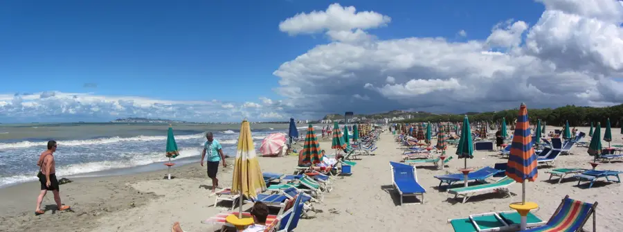
Are there sandy beaches on Karaburun?
No, the beaches are mostly pebbly or rocky, but offer crystal-clear turquoise water.
Is there shade on the peninsula?
Little; the peninsula is quite barren. Visitors should bring umbrellas and sunscreen.
Is the peninsula inhabited?
No, it is an uninhabited military and nature reserve with no permanent settlements.
Karaburun Peninsula: where is it located?
Karaburun Peninsula is located in Albania.
Karaburun Peninsula: what is there to see?
Highlights include Mouth of God, Dafina Beach, Zhanpovel.
Karaburun Peninsula: when is the best time to visit?
The most pleasant time to visit is May, Jul.
Karaburun Peninsula: why is it worth visiting?
The Karaburun Peninsula is Albania's largest peninsula, acting as a natural divider between the Adriatic and Ionian Seas.
View on map → The Top 50 Attractions → OpenStreetMap →
Europe
Explore with Plizio Discover more places in Europe
More places in Albania →

Nearby cities