Plizio Visual Lab
Erzen River
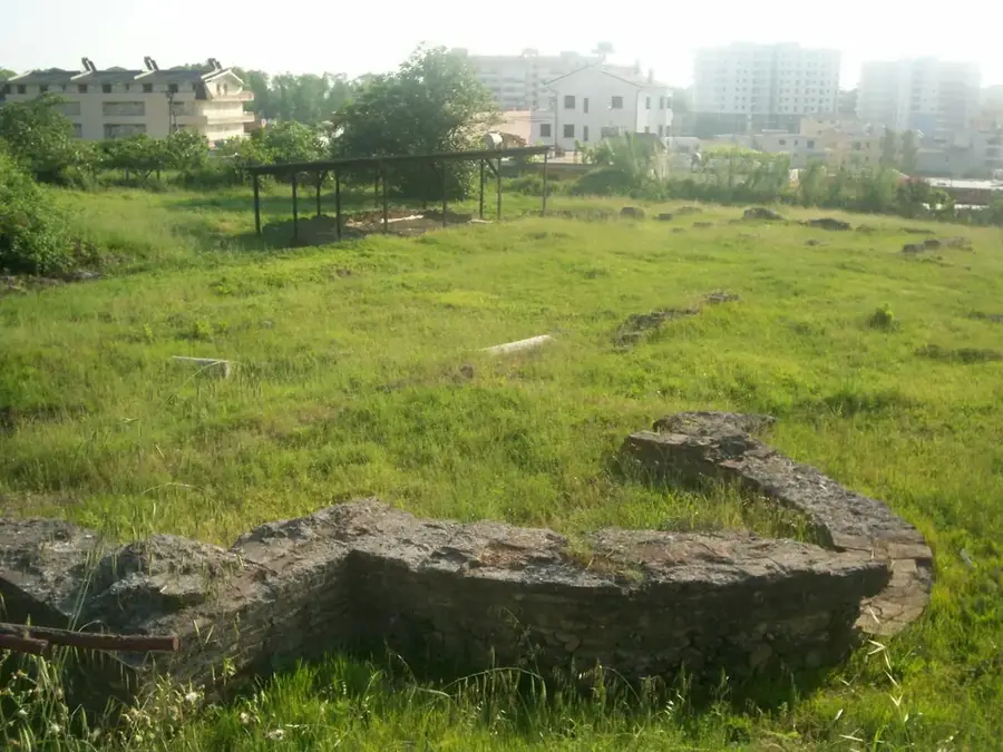
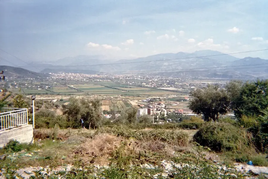
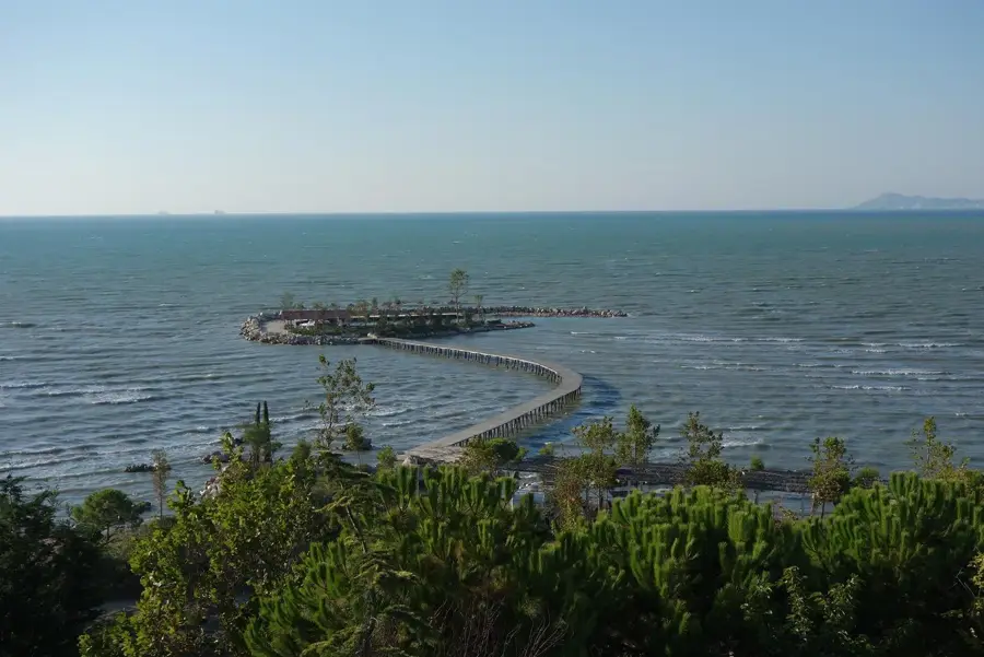
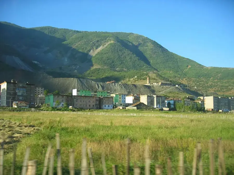
The Erzen River is a key waterway in central Albania, flowing just south of the capital city, Tirana, and playing a vital role in the region's geography. Originating in the Shëngjergj mountains at an altitude of about 1,200 meters, the river travels 109 kilometers before emptying into the Lalzi Bay on the Adriatic Sea. Over millennia, the Erzen has carved deep and dramatic gorges into the limestone terrain, most notably the Erzen Canyon near the village of Pëllumbas. Its drainage basin covers approximately 760 square kilometers, providing essential water for irrigation and supporting the local agricultural economy. Historically, the Erzen valley has been a significant area for human settlement since prehistoric times, evidenced by archaeological sites in nearby caves. Today, the river serves as a popular recreational area for residents of Tirana, offering natural swimming holes and scenic hiking paths along its banks. While facing environmental pressure from nearby urban centers, the upper reaches of the river maintain high water quality and rich biodiversity. The Erzen River remains a fundamental natural corridor connecting the rugged highlands with the coastal plains.
- Location: Albania
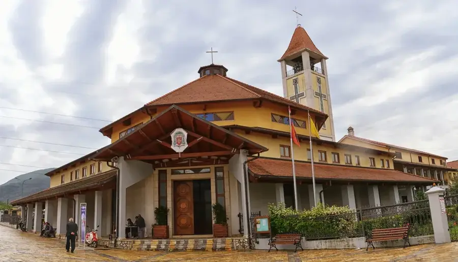
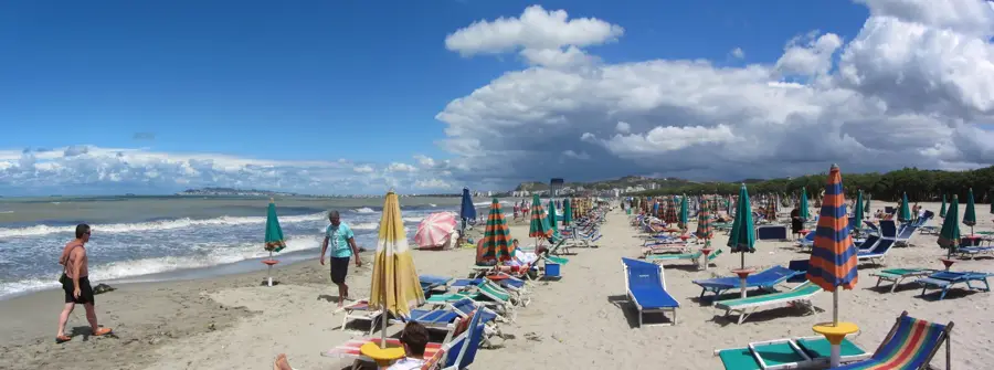
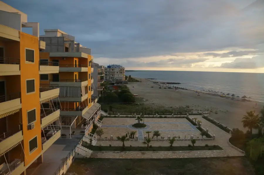
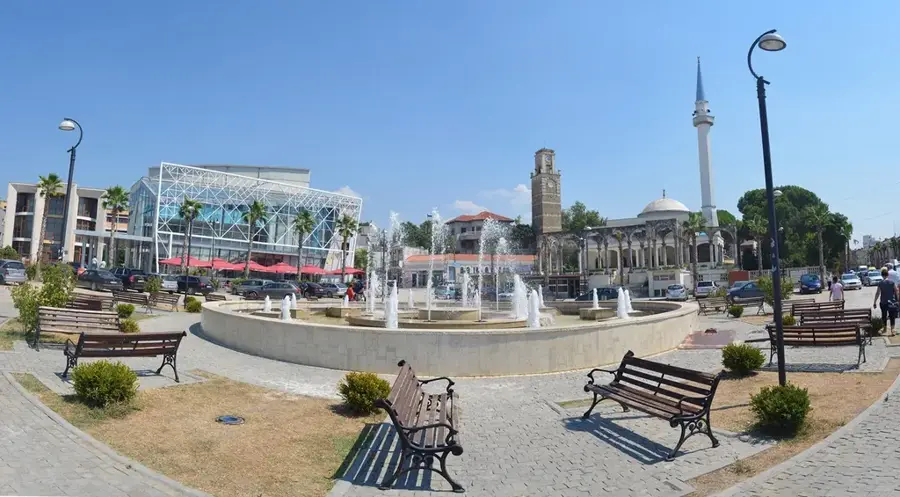
- Top sights: Marikaj · Maminas
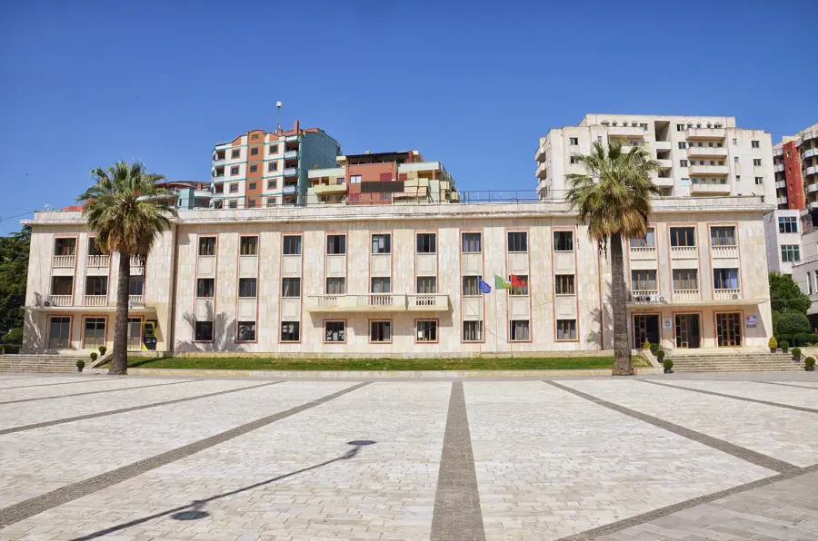
- Nearby: Shijak (5 km)
Best time to visit & climate
The most pleasant time to visit is May–Jul.
| Jan | Feb | Mar | Apr | May | Jun | Jul | Aug | Sep | Oct | Nov | Dec | |
|---|---|---|---|---|---|---|---|---|---|---|---|---|
| Avg °C | 10 | 10 | 12 | 15 | 19 | 23 | 26 | 26 | 23 | 19 | 15 | 11 |
| Rain mm | 118 | 106 | 97 | 77 | 66 | 47 | 27 | 28 | 88 | 110 | 138 | 136 |
📋 Practical info
Geography
Facts
- The Erzen River has a total length of 109 kilometers.
- Its drainage basin spans an area of approximately 760 km².
- The river originates at an elevation of 1,200 meters in Shëngjergj.
- It flows into the Adriatic Sea at the Bay of Lalzi.
- The river passes through several significant limestone gorges.
- It is one of the primary water sources for the Tirana-Durrës region.
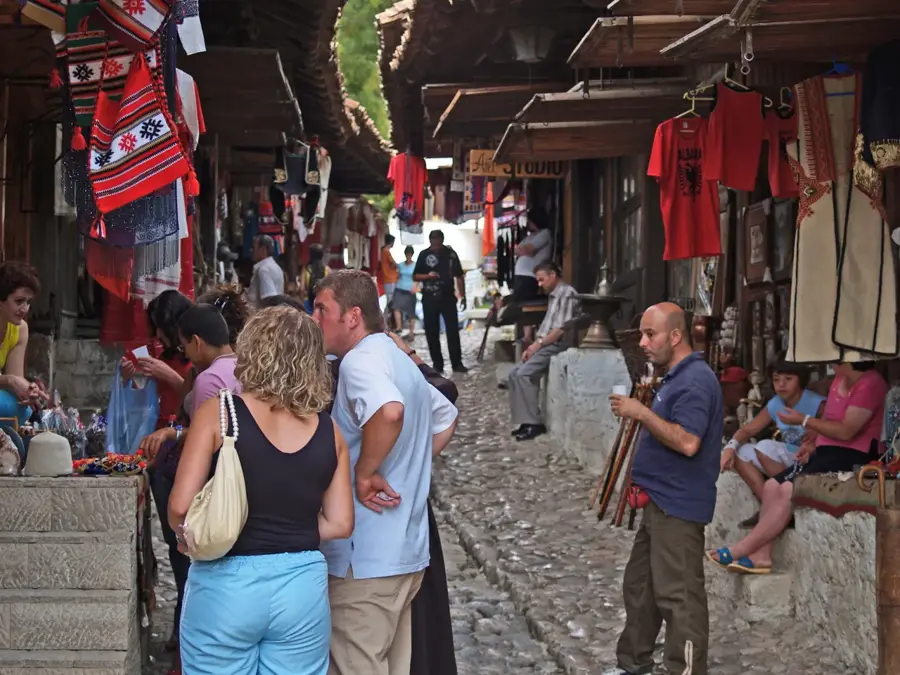
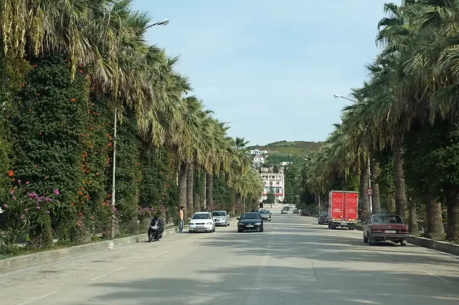
Explore nearby
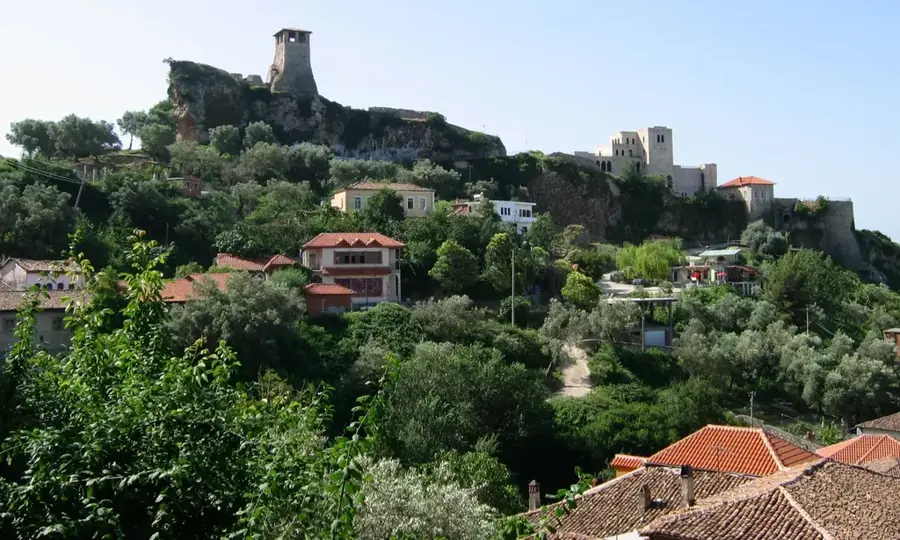
Notable places around
Route planner — Car & Motorhome
Where do you start? We build the route here, with stops and country notes along the way.
© OpenStreetMap contributors · OpenRouteService
Sights in the town Erzen River (2)
Sights nearby
Frequently asked questions
What is the 'Cyclops Eye' on the Erzen River?
Where is the best place to swim in the Erzen River?
How long is the Erzen River?
Is the river easily accessible from Tirana?
What flora can be found along the Erzen?
Erzen River: where is it located?
Erzen River: what is there to see?
Erzen River: when is the best time to visit?
Erzen River: why is it worth visiting?

Nearby cities