Plizio Visual Lab
Kashar
ℹ️Practical info — Kashar
▾
🌤 Weather — 5 days
📍 Nearby
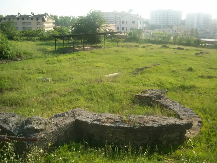
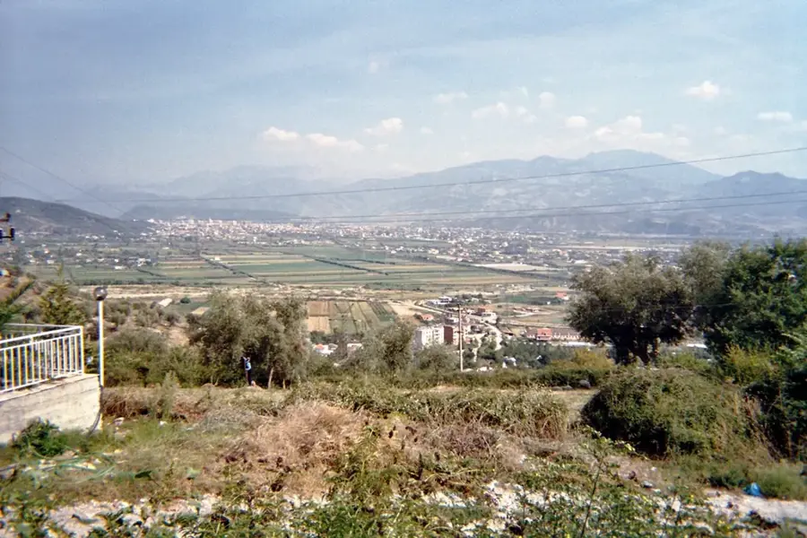
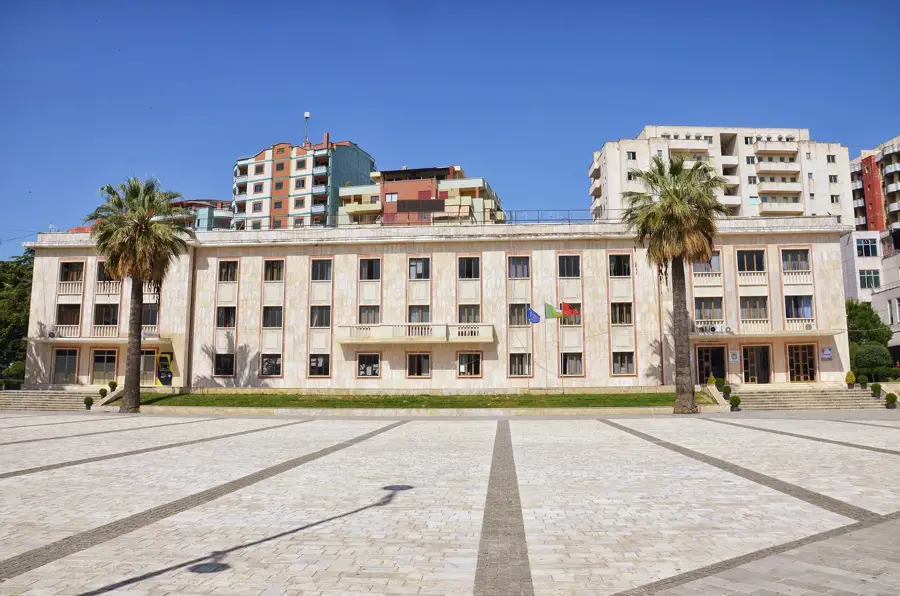
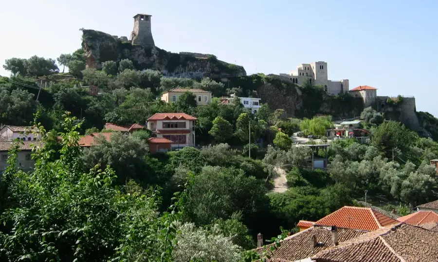
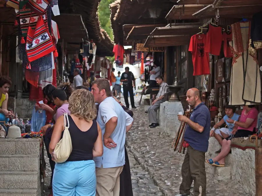
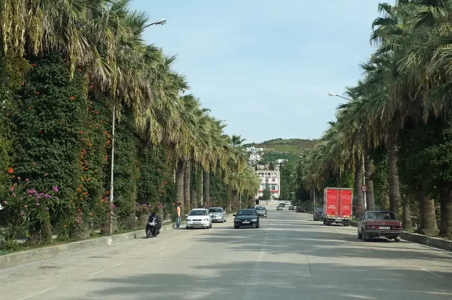
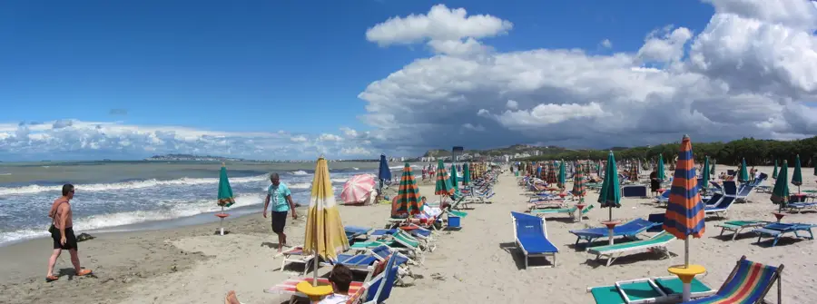
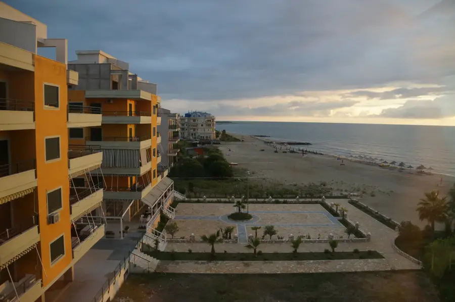
Sights nearby
💡 Tips
- Since Kashar is heavily industrial, focus on the nearby hills or lake for outdoor leisure activities.
- Traffic on the Tirana-Durrës highway passing through here can be heavy; plan your travel outside morning and evening rush hours.
- It's a very convenient logistical base if you need to travel frequently between the capital, the coast, and the airport.
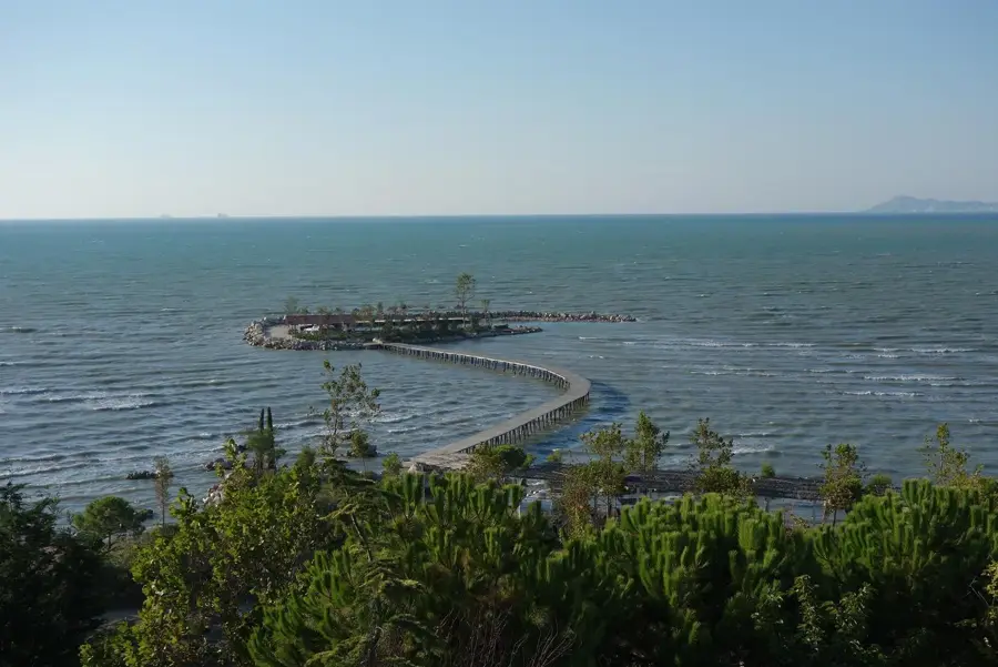
- Visit Kashar Lake (Liqeni i Kasharit) for an unexpected nature escape just a short drive from the industrial zones.
🍽 Food
Found in numerous roadside restaurants catering to travelers and local workers.
A regional dish of peppers, tomatoes, and salted cottage cheese, available in traditional tavernas.
A popular, very sweet milk cake dessert found in almost all roadside cafes.
🛍 Shopping · 🧘 Quiet spots
One of Albania's established malls is located nearby for modern brands and conveniences.
Stop safely to buy fresh, seasonal fruits along the older routes towards Durrës.
A surprisingly calm spot with walking paths around the reservoir.
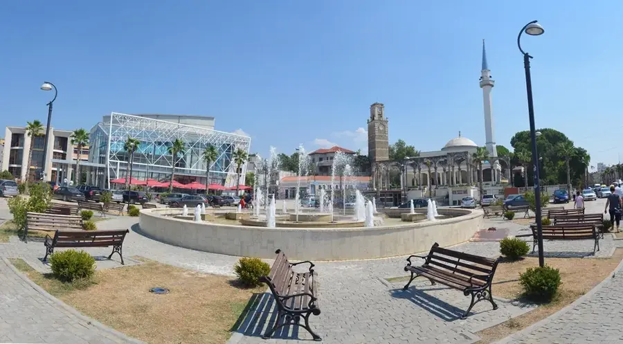
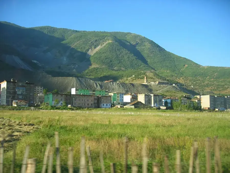
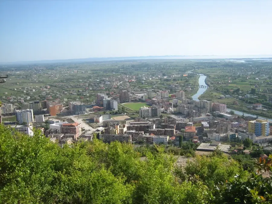
Offer a panoramic view over the Tirana plain and the bustling industrial valley below.
Water temperature…
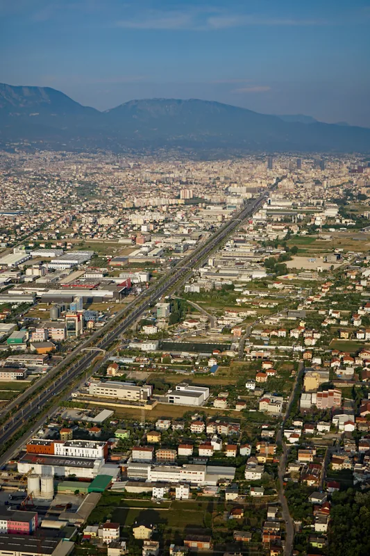
Kashar is a vital administrative unit located on the western periphery of the Albanian capital, Tirana, serving as a primary industrial and residential expansion zone. Historically, the area was a cluster of traditional villages, but the post-1990 political transition transformed it into a bustling economic hub situated along the Tirana-Durrës highway. Geographically, it covers an area of approximately 35.11 square kilometers, featuring a mix of rolling hills and fertile plains. According to the 2011 census, its population has grown to over 43,354 residents, making it one of the most populous and rapidly developing units in the country. The administrative unit comprises ten distinct villages, including Mëzez, Yzberisht, and Kashar, which have increasingly merged into the urban fabric of Greater Tirana. Kashar's strategic location gives crucial logistics advantages, attracting sectors such as food processing, construction, and large-scale retail. Despite rapid urbanization and modern infrastructure development, the area retains some agricultural pockets, reflecting its complex evolution from a rural commune to a modern suburban district within the Tirana Municipality.
- Location: Albania
- Top sights: Katundi i Ri · Domje, Vorë · Gropaj
- Nearby: Kamëz (5 km)
- Population: ~11.026
Best time to visit & climate
The most pleasant time to visit is May–Jul.
| Jan | Feb | Mar | Apr | May | Jun | Jul | Aug | Sep | Oct | Nov | Dec | |
|---|---|---|---|---|---|---|---|---|---|---|---|---|
| Avg °C | 10 | 10 | 12 | 15 | 19 | 23 | 26 | 26 | 23 | 19 | 15 | 11 |
| Rain mm | 118 | 106 | 97 | 77 | 66 | 47 | 27 | 28 | 88 | 110 | 138 | 136 |
Geography
Facts
- Population reached 43,354 in the 2011 census
- Covers a total area of about 35.11 square kilometers
- Comprises 10 distinct villages in its jurisdiction
- Strategically located along the Tirana-Durrës highway
- Became part of Tirana Municipality in 2015
- Key industrial and logistics hub for the capital region
Explore nearby
Notable places around
Route planner — Car & Motorhome
Where do you start? We build the route here, with stops and country notes along the way.
© OpenStreetMap contributors · OpenRouteService
Frequently asked questions
How far is Kashar from Tirana?
Are there attractions in Kashar?
Is Kashar an industrial area?
Can you go to Kashar by bus?
Are there shopping malls nearby?
Kashar: where is it located?
Kashar: what is there to see?
Kashar: when is the best time to visit?
Kashar: why is it worth visiting?

Nearby cities