Plizio Visual Lab
Marondera

ℹ️Practical info — Marondera
▾
🌤 Weather — 5 days
📍 Nearby
Sights nearby
💡 Tips
- The high altitude means it gets quite chilly in the evenings, especially from May to August; bring warm layers.
- It’s a great base for visiting Imire Rhino & Wildlife Conservation, but book activities in advance.
- Carry small denomination US Dollars, as change can sometimes be difficult to find.
- Renting a rugged vehicle is recommended if you plan to visit the surrounding commercial farms or nature parks.
- The local water supply can be erratic; always keep extra bottled water at your accommodation.
🍽 Food
Thick maize porridge with meat stew, available at local farm stalls and town eateries.
Locally cured and dried meat, well-suited as a snack from nearby butcheries.
Look for fresh cheese and milk products from local agricultural estates.
🛍 Shopping · 🧘 Quiet spots
The best spots on the road to Harare for fresh organic produce and homemade preserves.
Wood carvings and stone sculptures are often sold by artisans along the main road.
A lovely, quiet nature reserve right next to town, convenient for bird watching and walking.
If visiting, the dam areas offer immense tranquility away from the city.
Water temperature…
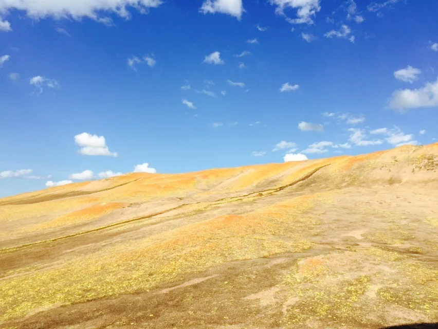
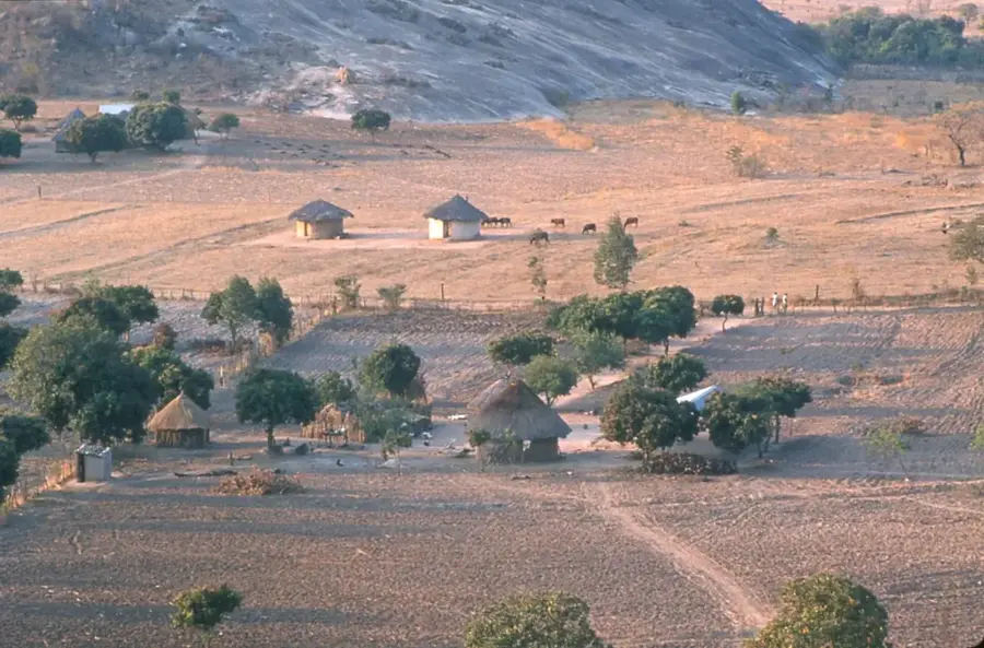
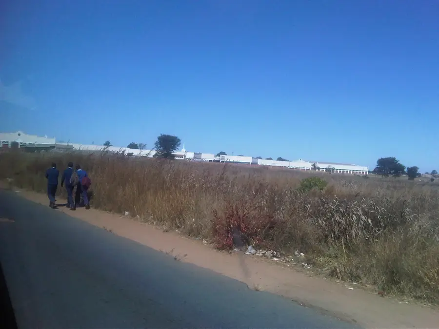
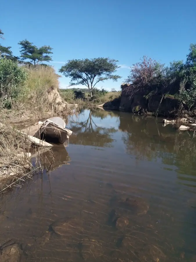
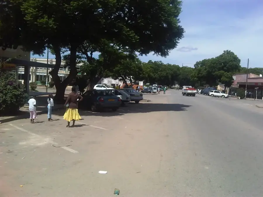
Marondera, the provincial capital of Mashonaland East, sits at a high altitude of 1,600 meters on Zimbabwe's central watershed. This elevated position grants it a temperate climate, making it one of the country's most vital agricultural hubs. Originally established in 1890 as Marandellas, it was named after a local chief and served as a crucial stop on the road to the eastern highlands. Today, the area is synonymous with high-quality tobacco production, timber, and the burgeoning Zimbabwean wine industry. Beyond agriculture, Marondera is celebrated as the nation's educational heartland, home to elite boarding schools like Peterhouse that attract students from across the region. Its strategic location on the main highway and rail link between Harare and the port of Beira ensures its status as a commercial crossroads. The town's surroundings feature scenic rolling hills and dams, providing peaceful retreats for fishing and birdwatching in a crisp, highland environment.
- Location: Zimbabwe
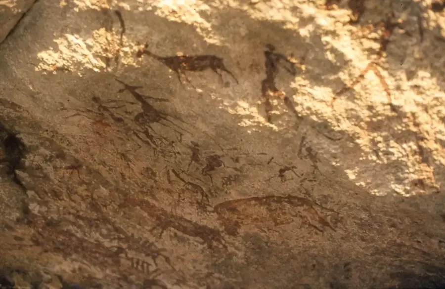
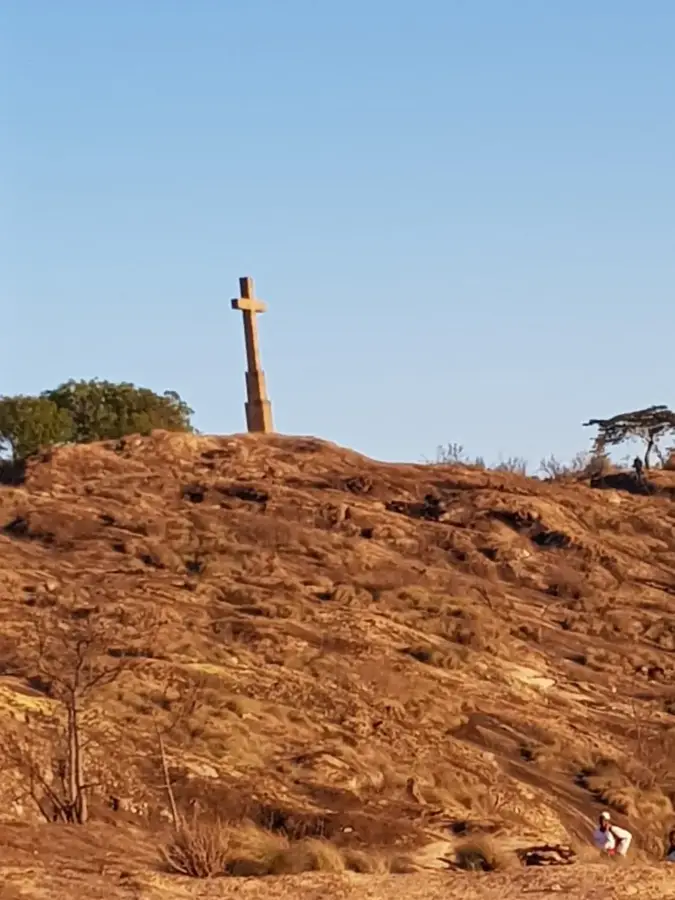
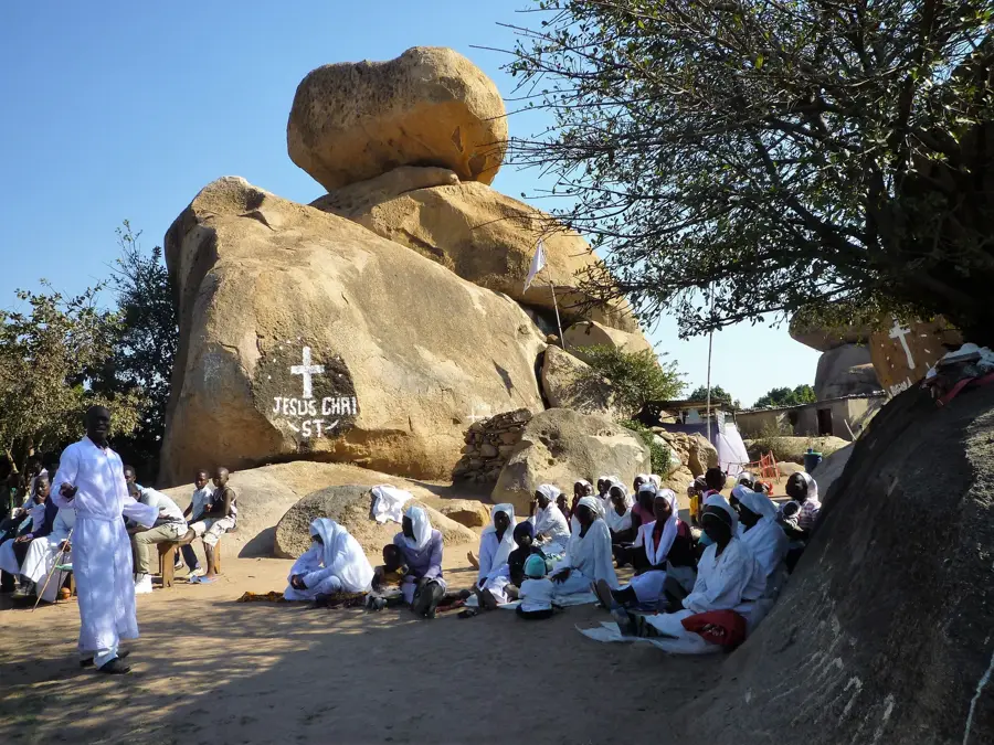
- Top sights: Bushman Paintings · Gosho Park
- Nearby: Goromonzi (41 km)
- Population: ~66.204 (2026)
Best time to visit & climate
The most pleasant time to visit is Apr, Sep, Oct.
| Jan | Feb | Mar | Apr | May | Jun | Jul | Aug | Sep | Oct | Nov | Dec | |
|---|---|---|---|---|---|---|---|---|---|---|---|---|
| Avg °C | 21 | 21 | 20 | 19 | 16 | 14 | 14 | 16 | 20 | 22 | 23 | 22 |
| Rain mm | 180 | 133 | 94 | 31 | 7 | 3 | 19 | 2 | 5 | 25 | 94 | 195 |
Geography
Facts
- Population: 60,000
- Elevation: 1,600 m
- Distance to Harare: 70 km
- Founded: 1910
- Annual rainfall: 900 mm
- University founded: 2013
Explore nearby
Notable places around
Route planner — Car & Motorhome
Where do you start? We build the route here, with stops and country notes along the way.
© OpenStreetMap contributors · OpenRouteService
Sights in the town Marondera (2)
Frequently asked questions
What is Marondera known for?
How is the climate in Marondera?
Are there worthwhile excursion destinations?
How well connected is the town?
Are there markets there?
Marondera: where is it located?
Marondera: what is there to see?
Marondera: when is the best time to visit?
Marondera: why is it worth visiting?

Nearby cities


History & landmarks


More places