Plizio Visual Lab
Zambezi Valley
Weather…
Water temperature…
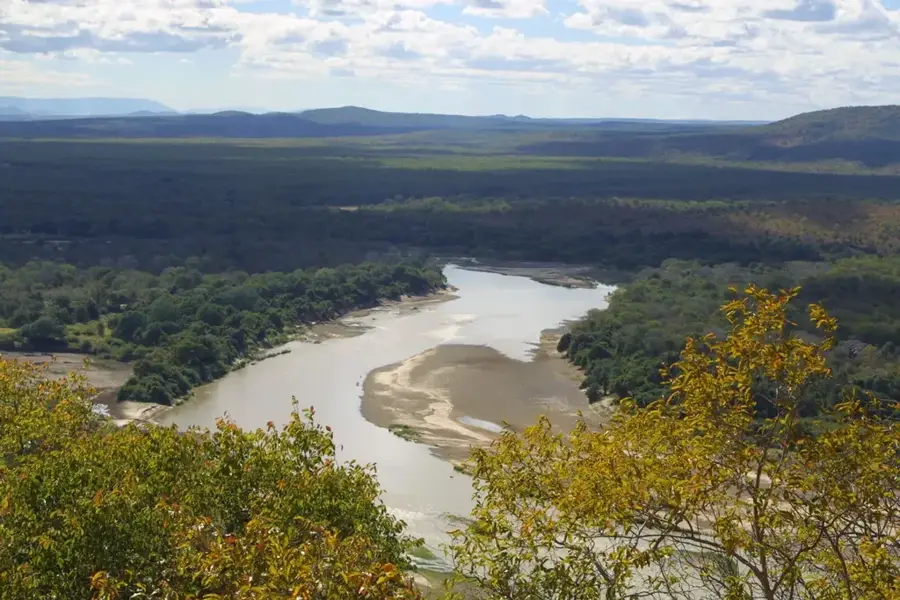
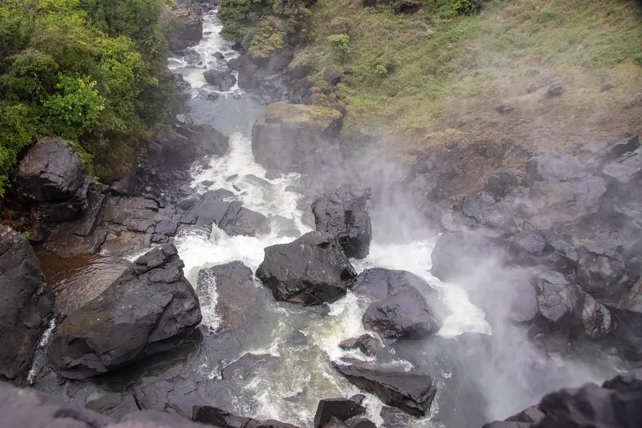
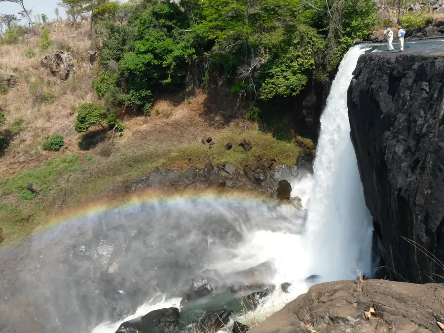
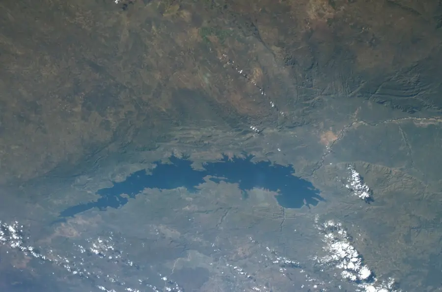
The Zambezi Valley in southern Zambia is a monumental geographical feature that follows the course of the Zambezi River, forming the natural border with Zimbabwe. The relief is defined by a deep, broad trough incised into the central African plateau, with the valley floor lying more than 600 meters below the surrounding highlands. Geologically, it is part of an ancient rift system, filled with thick sedimentary deposits and shaped over millennia by tectonic subsidence and riverine erosion. The valley is now split into the upper section, dominated by the massive Lake Kariba, and the lower section (Lower Zambezi), known for its pristine alluvial floodplains. The local climate is significantly hotter and more humid than the interior plateau, fostering dense woodlands of acacia and mopane trees. Historically, the valley was the ancestral home of the Gwembe Tonga people, many of whom were displaced during the 1950s construction of the Kariba Dam. The valley's economic importance is paramount for Zambia, providing essential hydroelectric power and world-class ecotourism opportunities. The dramatic contrast between the river and the towering escarpments creates one of Africa's most iconic landscapes.
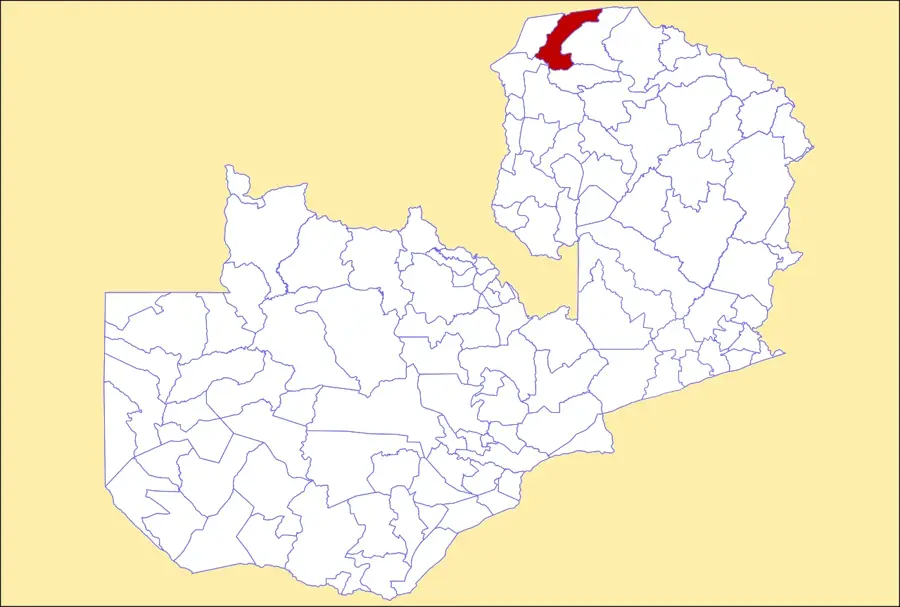
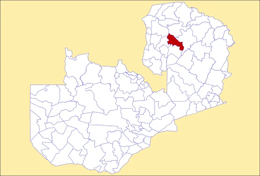
- Location: Zambia
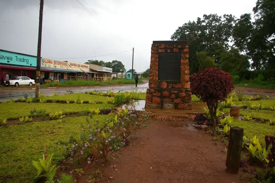
- Nearby: Siavonga (62 km)
Best time to visit & climate
The most pleasant time to visit is Jun–Aug.
| Jan | Feb | Mar | Apr | May | Jun | Jul | Aug | Sep | Oct | Nov | Dec | |
|---|---|---|---|---|---|---|---|---|---|---|---|---|
| Avg °C | 26 | 26 | 26 | 25 | 23 | 21 | 20 | 23 | 26 | 30 | 30 | 27 |
| Rain mm | 179 | 131 | 89 | 21 | 3 | 0 | 0 | 0 | 1 | 7 | 58 | 167 |
📋 Practical info
Geography
Facts
- The valley forms the international border between Zambia and Zimbabwe.
- The valley floor often lies at an elevation of less than 400 meters.
- The construction of Kariba Dam flooded a vast portion of the middle valley.
- Geologically, the valley is rich in sedimentary rocks of the Karoo Supergroup.
- Summer temperatures in the valley can frequently soar above 40°C.
- The valley contains two major national parks on the Zambian side.
Explore nearby
Notable places around
Route planner — Car & Motorhome
Where do you start? We build the route here, with stops and country notes along the way.
© OpenStreetMap contributors · OpenRouteService
Sights in the town Zambezi Valley (1)
Sights nearby
Frequently asked questions
How is the climate in the Zambezi Valley?
What can one experience in the valley?
Is there malaria there?
Is the valley easily accessible?
What should I consider regarding clothing?
Zambezi Valley: where is it located?
Zambezi Valley: when is the best time to visit?
Zambezi Valley: why is it worth visiting?

Nearby cities
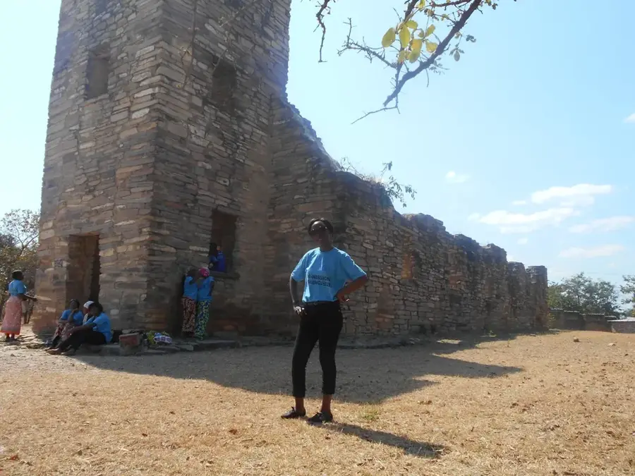
History & landmarks
Nature
More places