Plizio Visual Lab
Mbala
ℹ️Practical info — Mbala
▾
🌤 Weather — 5 days
📍 Nearby
Sights nearby
💡 Tips
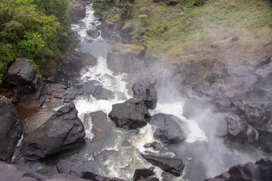
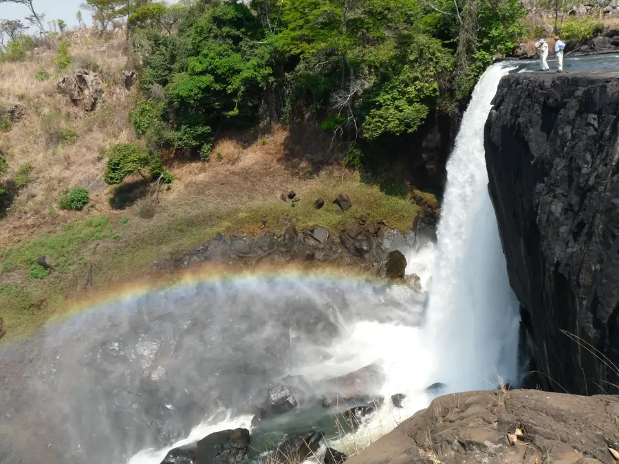
- Visit Kalambo Falls, one of Africa's highest single-drop waterfalls, located about 30km from town.
- Allocate a morning for the Moto Moto Museum to see an extensive collection of Bemba history and culture.
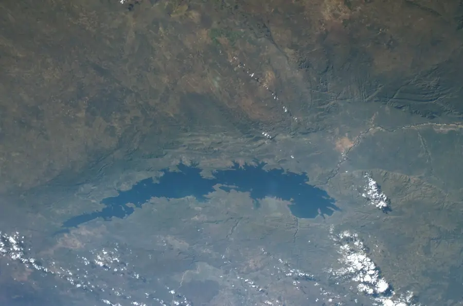
- Lake Chila in the town center is a great spot for a quiet afternoon picnic.
- Travel during the dry season (May to October) as the road to the falls can be challenging after heavy rains.
- Take advantage of the cooler mountain air, as Mbala's elevation makes it much milder than the surrounding valleys.
🍽 Food
Try this traditional staple at small local eateries in the town center.
Sourced from nearby Lake Tanganyika, often found at the local market.
A popular local snack you can buy from street vendors.
🛍 Shopping · 🧘 Quiet spots
The go-to place for fresh produce, local textiles, and handmade household items.
Find authentic local woodcarvings and woven baskets here.
A peaceful spot for a walk under the shade of ancient trees.
Outside of peak visitor times, it has a meditative silence overlooking the rift.
Water temperature…
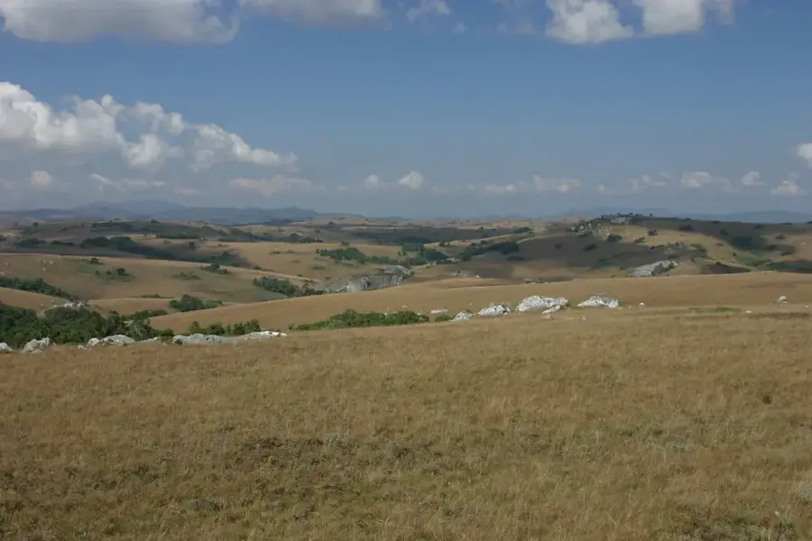
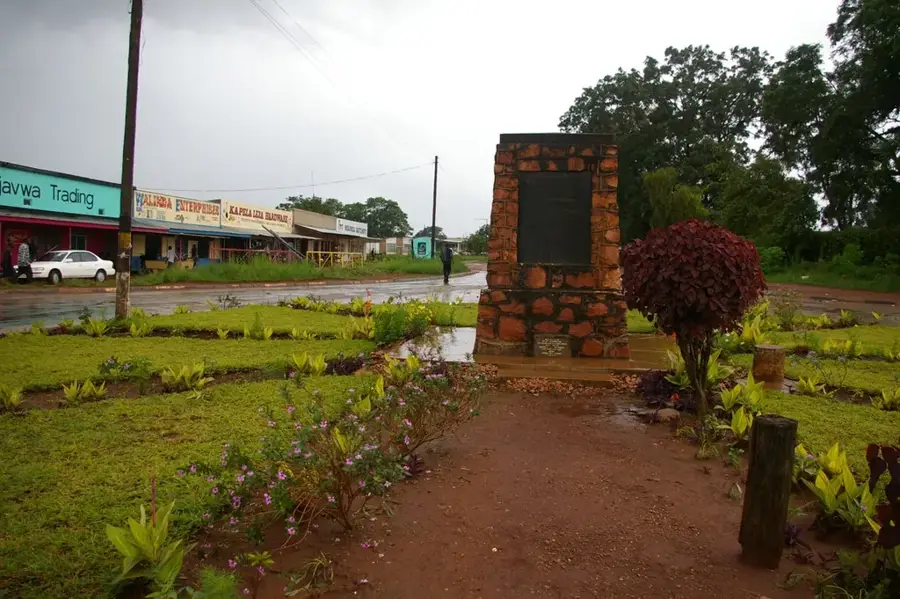
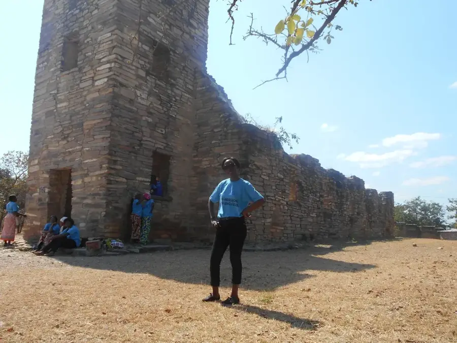
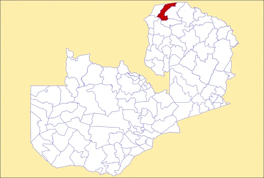
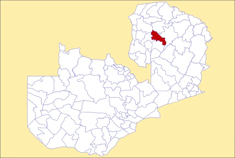
Mbala is Zambia's northernmost town, situated on a high plateau in the Northern Province near the border with Tanzania. It holds extraordinary historical significance as the site where the official armistice of World War I in Africa was signed on November 25, 1918, marking the end of German military resistance. Geographically, Mbala is located near the southern tip of Lake Tanganyika and the panoramic Kalambo Falls, which at 221 meters are among the highest in Africa. The town's Moto Moto Museum houses an extensive collection of archaeology and ethnographic items related to the Bemba people and the Stone Age. Due to its high altitude of over 1,600 meters, Mbala enjoys a temperate climate that supports the cultivation of coffee and tobacco. The town serves as a critical trade and administrative hub for the nearby port of Mpulungu, Zambia's only international gateway to the Great Lakes region. Historically a colonial outpost known as Abercorn, Mbala today blends its European heritage with modern Zambian identity and a strong educational sector.
- Location: Zambia
- Nearby: Mpulungu (29 km)
- Population: ~42.424 (2025)
Best time to visit & climate
The most pleasant time to visit is May, Aug, Sep.
| Jan | Feb | Mar | Apr | May | Jun | Jul | Aug | Sep | Oct | Nov | Dec | |
|---|---|---|---|---|---|---|---|---|---|---|---|---|
| Avg °C | 19 | 20 | 20 | 19 | 18 | 16 | 16 | 19 | 22 | 24 | 22 | 20 |
| Rain mm | 261 | 188 | 201 | 78 | 12 | 3 | 3 | 6 | 5 | 25 | 132 | 269 |
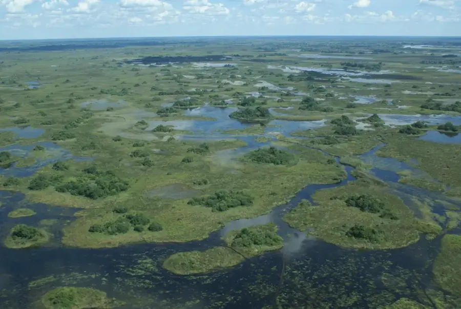
Geography
Facts
- Northernmost large town in Zambia, near the Tanzanian border.
- Site of the final German surrender of WWI on Nov 25, 1918.
- Home to the Moto Moto Museum, opened in 1974.
- Located at an altitude of 1,670 meters above sea level.
- Close to the Kalambo Falls, which have a 221-meter drop.
- Formerly known as Abercorn during the British colonial period.
Explore nearby
Notable places around
Route planner — Car & Motorhome
Where do you start? We build the route here, with stops and country notes along the way.
© OpenStreetMap contributors · OpenRouteService
Sights in the town Mbala (1)
Frequently asked questions
How much time should you spend in Mbala?
When is the best time to visit Mbala?
How is Mbala accessible?
Are there any local culinary specialties?
Is Mbala safe for families?
Mbala: where is it located?
Mbala: when is the best time to visit?
Mbala: why is it worth visiting?

Nearby cities
History & landmarks
Nature
More places