Plizio Visual Lab
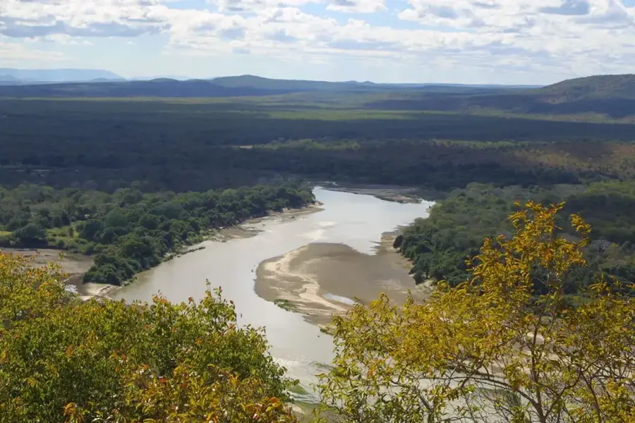
Luangwa Rift Valley
Weather…
Water temperature…
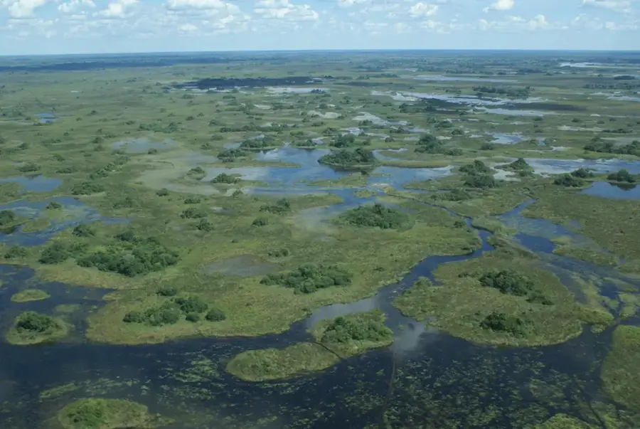
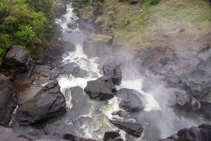
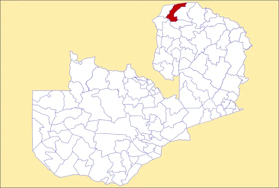
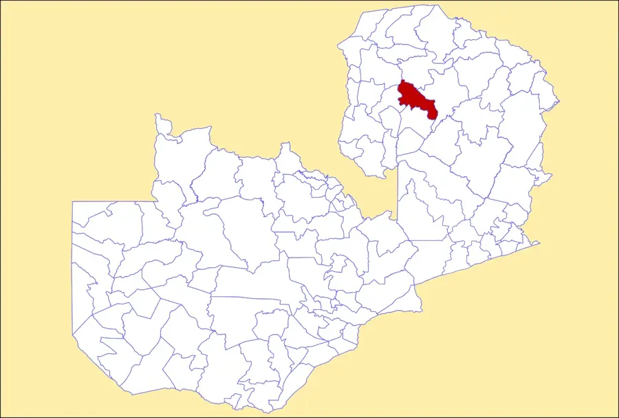
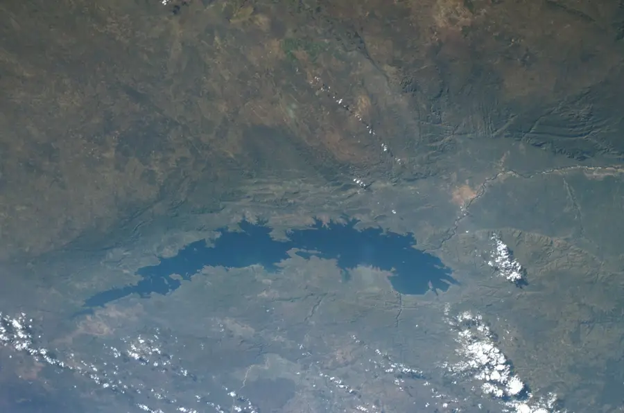
The Luangwa Rift Valley in eastern Zambia is a prominent geological feature, functioning as a southwestern extension of the Great East African Rift system. Stretching approximately 700 kilometers in length and 60 to 100 kilometers in width, the valley is enclosed by steep escarpments, most notably the Muchinga Mountains to the west. Geologically, it was formed by tectonic forces that caused the earth's crust to subside millions of years ago, creating a deep trough between elevated plateaus. The Luangwa River flows through the valley floor, depositing thick layers of alluvium that support lush vegetation and diverse habitats. The valley's elevation ranges between 300 and 600 meters above sea level, significantly lower than the surrounding highlands, resulting in a hotter and more arid local climate. Historically, the valley's rugged topography restricted human settlement and large-scale agriculture, allowing it to remain one of Africa's most intact wilderness areas. Today, the rift's unique relief is fundamental to the region's ecology, shaping the movement of water and wildlife throughout the Luangwa basin.
- Location: Zambia
- Nearby: Katete (52 km)
Best time to visit & climate
The most pleasant time to visit is May–Jul.
| Jan | Feb | Mar | Apr | May | Jun | Jul | Aug | Sep | Oct | Nov | Dec | |
|---|---|---|---|---|---|---|---|---|---|---|---|---|
| Avg °C | 24 | 24 | 24 | 24 | 23 | 21 | 21 | 24 | 27 | 30 | 29 | 26 |
| Rain mm | 237 | 184 | 121 | 28 | 3 | 1 | 1 | 1 | 2 | 8 | 65 | 209 |
📋 Practical info
Geography
Facts
- The valley is a branch of the 6,000-km-long East African Rift System.
- The Muchinga Escarpment rises over 1,500 meters along the western edge.
- The valley floor sits at an average elevation of 500 meters above sea level.
- Tectonic formation of the rift began as early as the Permian-Triassic period.
- The landscape features numerous oxbow lakes formed by the meandering river.
- The valley's width expands from 60 km in the north to 100 km in the south.
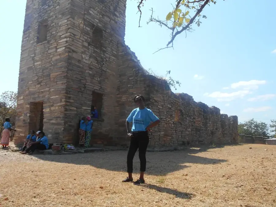
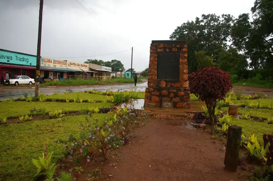
Explore nearby
Notable places around
Route planner — Car & Motorhome
Where do you start? We build the route here, with stops and country notes along the way.
© OpenStreetMap contributors · OpenRouteService
Sights nearby
Frequently asked questions
What is special about the Luangwa Rift Valley?
How much time is needed for exploration?
Is it family-friendly?
Can I take photos there?
When is the best time to travel?
Luangwa Rift Valley: where is it located?
Luangwa Rift Valley: when is the best time to visit?
Luangwa Rift Valley: why is it worth visiting?

Nearby cities
History & landmarks
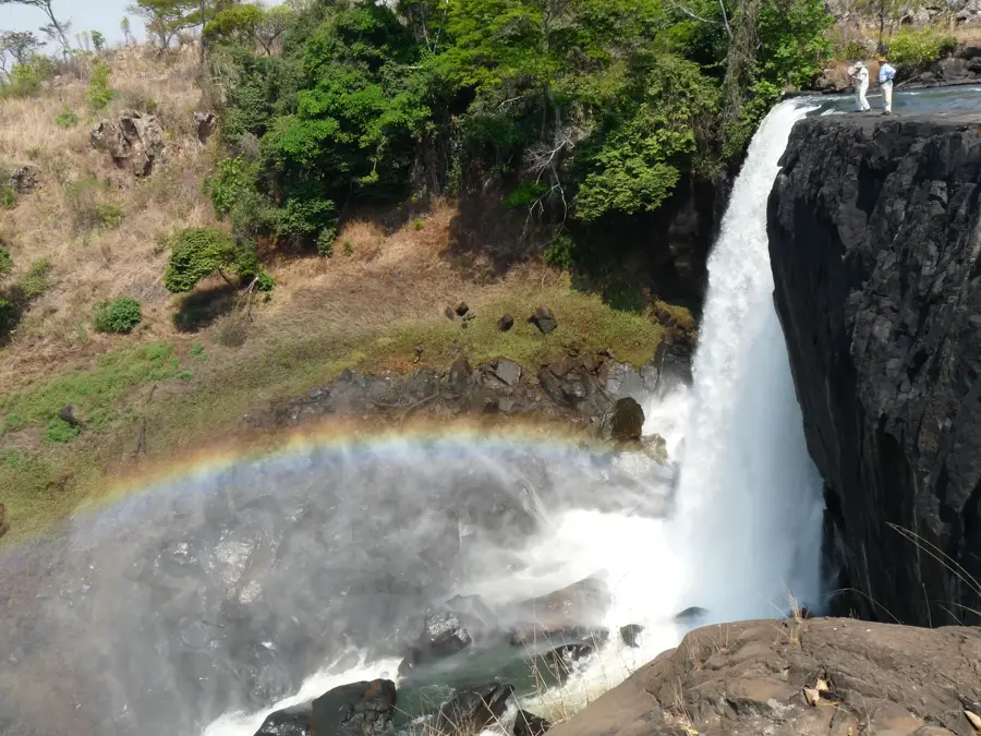
Nature
More places