Plizio Visual Lab
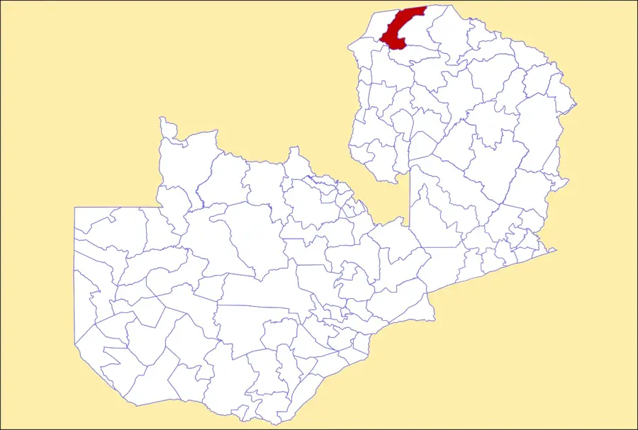
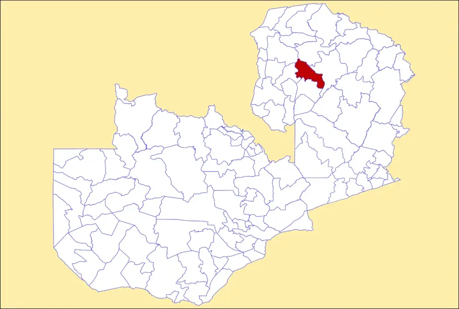
Kaputa
ℹ️Practical info — Kaputa
▾
🌤 Weather — 5 days
📍 Nearby
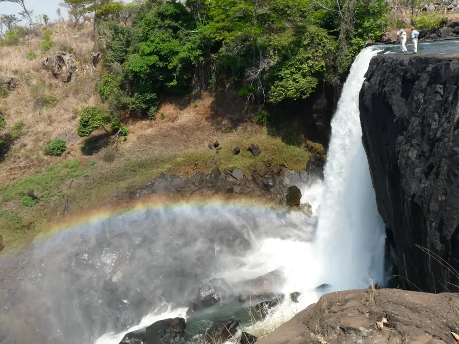
Sights nearby
💡 Tips
- Reaching Kaputa involves traveling on unpaved roads; a sturdy 4x4 vehicle is essential, especially during the rainy season.
- Cash is crucial here, as ATMs are scarce or unreliable; bring enough Zambian Kwacha from larger towns.
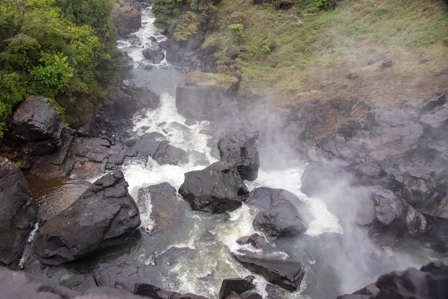
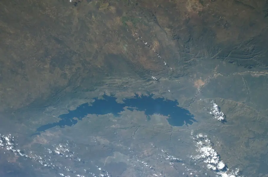
- Lake Mweru Wantipa is nearby, but watch out for crocodiles and hippos; always seek local advice before approaching the water.
- Electricity and mobile network coverage can be intermittent; it's wise to carry a power bank and inform someone of your travel plans.
🍽 Food
Staple maize porridge served with fresh catch from Lake Mweru Wantipa. Find it in local eateries near the market.
Small dried or fried fish, a local delicacy. Often sold by street vendors.
Fresh produce is best bought directly from farmers at the central market.
🛍 Shopping · 🧘 Quiet spots
The area is famous for traditional salt making; buy locally produced salt directly from the artisans.
Look for sturdy, functional baskets made by locals in the village center.
Find a safe, elevated spot away from the immediate water's edge to watch the birdlife.
A walk on the dirt roads just outside the main settlement gives peaceful views of the bush.
Water temperature…
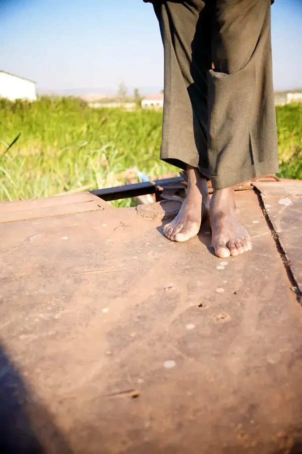
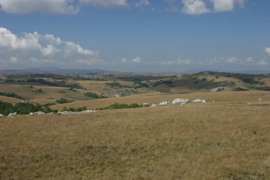
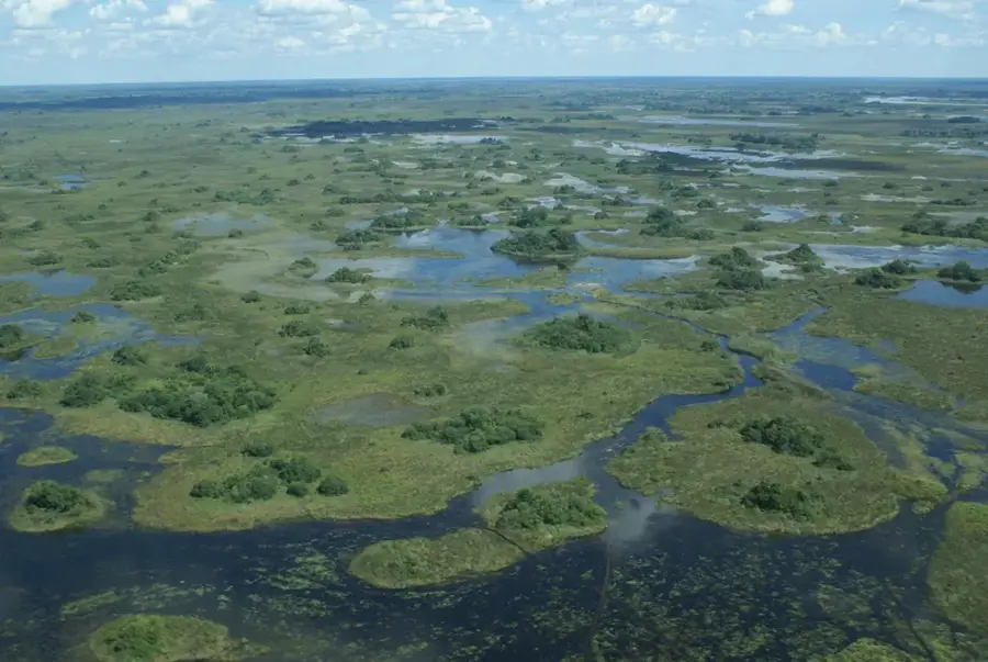
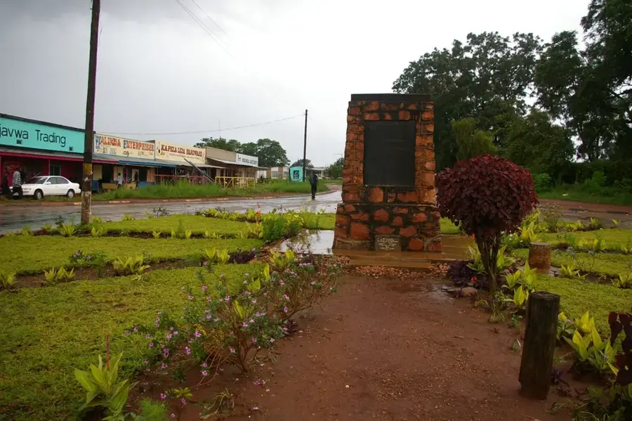
Kaputa is a remote border town in the far north of Zambia, located near the frontier with the Democratic Republic of the Congo. Situated in the Northern Province, it lies in a geologically unique zone between Lake Mweru Wantipa and Lake Tanganyika. Historically, Kaputa is renowned for its natural salt pans, which for centuries served as a vital source for local trade and salt extraction. The landscape is dominated by marshlands and savannahs that support diverse wildlife, although the region's infrastructure remains largely underdeveloped. The inhabitants rely primarily on fishing in Lake Mweru Wantipa and small-scale subsistence farming, with rice being a key local crop. Due to its isolated position, Kaputa also functions as a critical border post, managing the cross-border flow of goods and people in this distant corner of the country.
- Location: Zambia
- Population: ~35.663 (2024)
Best time to visit & climate
The most pleasant time to visit is May–Jul.
| Jan | Feb | Mar | Apr | May | Jun | Jul | Aug | Sep | Oct | Nov | Dec | |
|---|---|---|---|---|---|---|---|---|---|---|---|---|
| Avg °C | 22 | 23 | 23 | 22 | 22 | 20 | 20 | 23 | 25 | 26 | 24 | 22 |
| Rain mm | 196 | 158 | 186 | 90 | 12 | 2 | 1 | 3 | 11 | 52 | 166 | 213 |
Geography
Facts
- Kaputa is famous for its natural salt pans and historic salt production.
- The town is located in close proximity to Lake Mweru Wantipa.
- Kaputa District shares an extensive international border with the DR Congo.
- Rice is the primary cash crop grown by farmers in the Kaputa area.
- The region is notoriously remote, often accessible only via unpaved roads.
- Fishing in the nearby lake provides a major source of protein and income.
Explore nearby
Notable places around
Route planner — Car & Motorhome
Where do you start? We build the route here, with stops and country notes along the way.
© OpenStreetMap contributors · OpenRouteService
Frequently asked questions
Where is Kaputa located?
What is special about the location?
Is there tourist infrastructure?
Is a 4x4 vehicle necessary?
What is the best way to get there?
Kaputa: where is it located?
Kaputa: when is the best time to visit?
Kaputa: why is it worth visiting?

Nearby cities
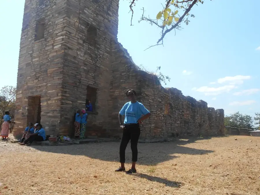
History & landmarks
Nature
More places