Plizio Visual Lab
Chipata
ℹ️Practical info — Chipata
▾
🌤 Weather — 5 days
📍 Nearby
Sights nearby
💡 Tips
- It's the first-rate stopover to rest and stock up on supplies before heading to South Luangwa National Park.
- Change your money or withdraw cash here, as reliable ATMs are very scarce once you get near the park.
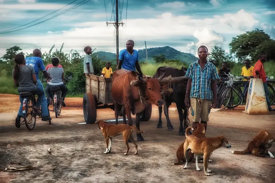
- Bicycles (boda-bodas) are a popular, cheap, and surprisingly efficient way to get around town.
- Try to visit the colourful local markets early in the day when produce is freshest.
🍽 Food
A hearty traditional meal; look for casual local 'nteembas' (food stalls) offering lunch specials.
Thanks to the local Indian influence, excellent spiced samosas can be bought from street vendors.
A traditional mildly fermented root beverage, often sold in re-used plastic bottles at markets.
🛍 Shopping · 🧘 Quiet spots
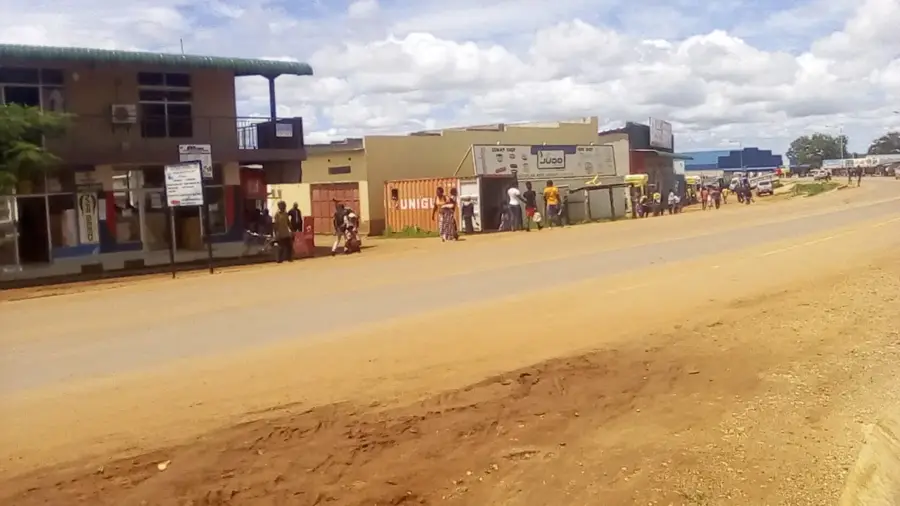
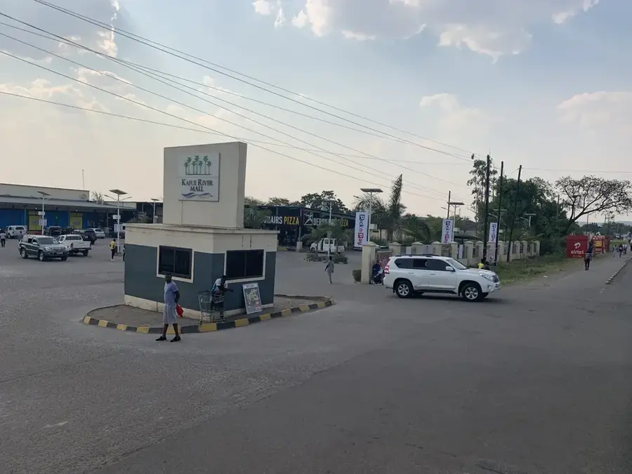
A bustling hub for everything from fresh fruits and vegetables to second-hand clothing.
Large supermarkets in town are your last reliable stop for snacks, drinks, and toiletries before a safari.
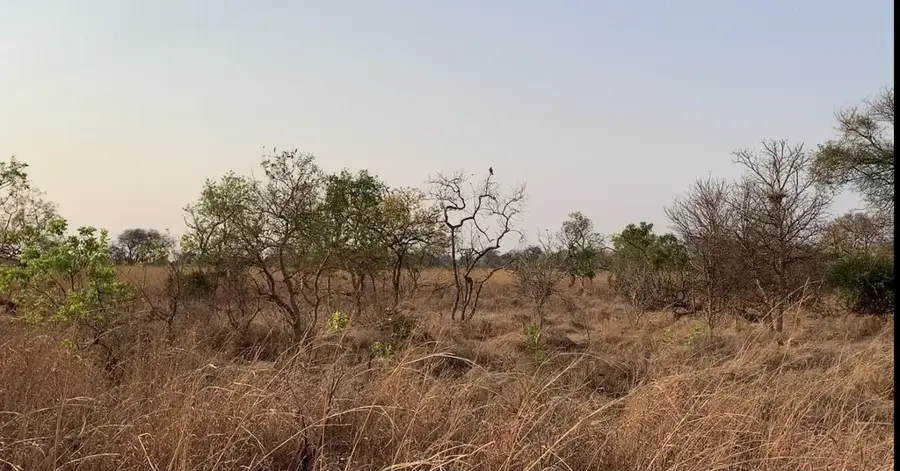
The surrounds of the golf club offer a greener, quieter environment for an afternoon stroll.
A short hike up the hill provides panoramic views of the town and is very peaceful.
Water temperature…
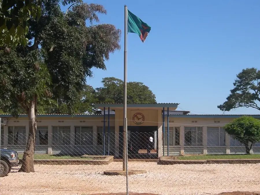
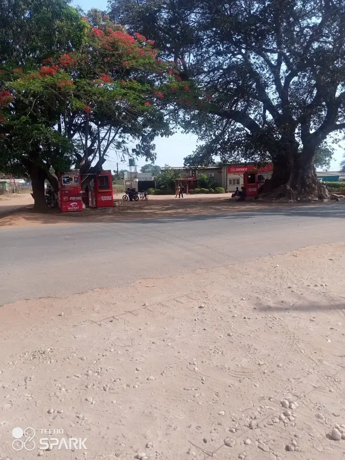
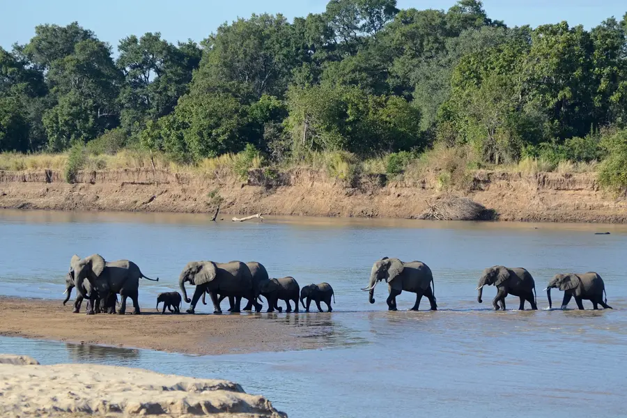
Chipata, formerly known as Fort Jameson, is the capital of the Eastern Province of Zambia and serves as a vital gateway to neighboring Malawi. The city is located among pretty hills and was established in the late 19th century as a British military outpost. Today, Chipata is a booming commercial hub, strategically positioned along the Great East Road. It is world-renowned for the annual Nc'wala ceremony of the Ngoni people, a lively festival celebrating the first harvest. Geographically, Chipata is the primary staging point for travelers heading to South Luangwa National Park, one of Africa's premier wildlife destinations. The local economy is driven by cross-border trade and agriculture, with tobacco, cotton, and groundnuts being the chief exports. The city's significance has further increased with the recent development of the rail link to Malawi. Chipata's architecture is a fascinating blend of colonial remnants, modern business blocks, and bustling traditional markets that define its energetic character.
- Location: Zambia
- Nearby: Katete (76 km)
- Population: ~327.059 (2026)
Best time to visit & climate
The most pleasant time to visit is Apr, May, Aug.
| Jan | Feb | Mar | Apr | May | Jun | Jul | Aug | Sep | Oct | Nov | Dec | |
|---|---|---|---|---|---|---|---|---|---|---|---|---|
| Avg °C | 23 | 22 | 22 | 21 | 20 | 18 | 18 | 21 | 24 | 27 | 27 | 24 |
| Rain mm | 264 | 198 | 146 | 33 | 4 | 2 | 1 | 2 | 2 | 9 | 61 | 218 |
Geography
Facts
- Capital city of the Eastern Province.
- Known as Fort Jameson until 1964.
- Major trade link between Zambia and Malawi.
- Home to the annual Ngoni Nc'wala ceremony.
- Staging point for South Luangwa National Park.
- Key hub for tobacco and cotton production.
Explore nearby
Notable places around
Route planner — Car & Motorhome
Where do you start? We build the route here, with stops and country notes along the way.
© OpenStreetMap contributors · OpenRouteService
Sights in the town Chipata (1)
Frequently asked questions
What makes Chipata interesting as a destination?
How is the road to the national park?
Are there accommodations there?
What can you buy in the city?
When is it busiest there?
Chipata: where is it located?
Chipata: when is the best time to visit?
Chipata: why is it worth visiting?

Nearby cities

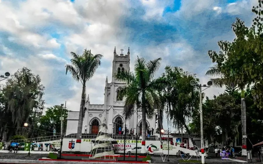
History & landmarks
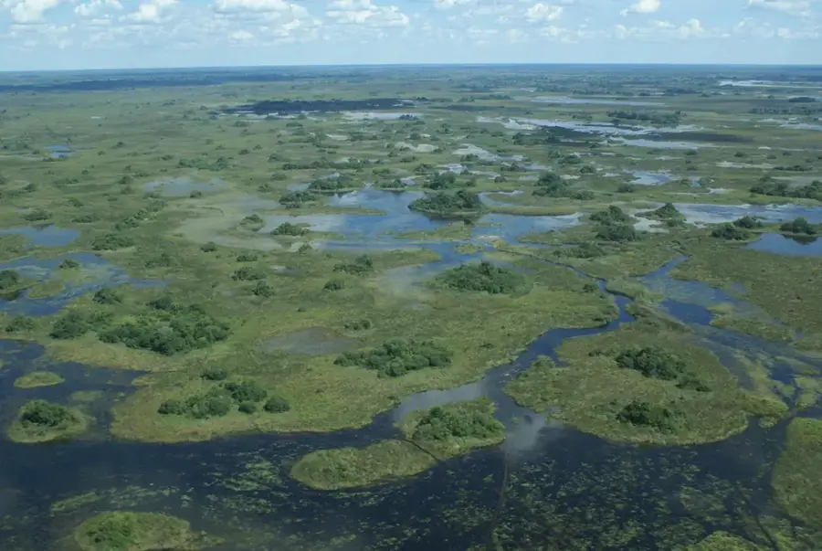
Nature
More places