Plizio Visual Lab
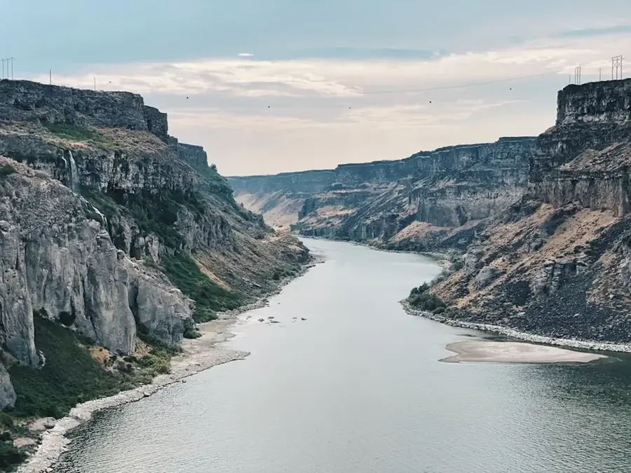
Kafue River
Weather…
Water temperature…
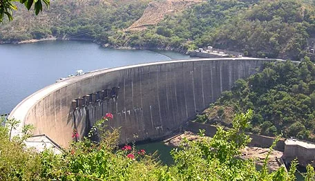
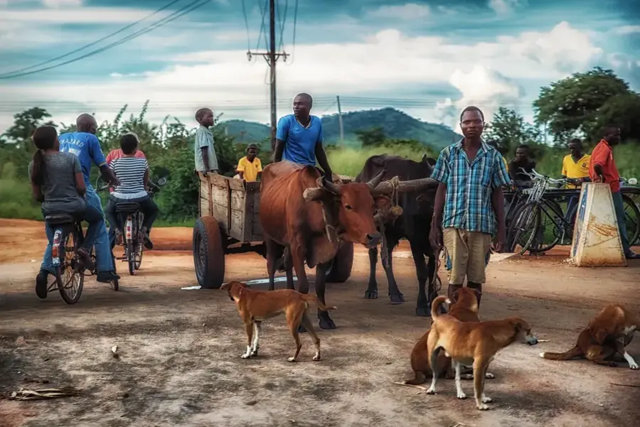
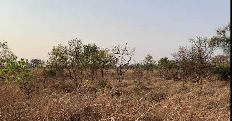
The Kafue River is the longest river situated entirely within the borders of Zambia, spanning approximately 1,576 kilometers from its source to its confluence. Originating in the northwest near the border with the Democratic Republic of the Congo, it flows southward through the central plateau before joining the Zambezi River near Chirundu. The river serves as the vital lifeline for Kafue National Park, one of the largest protected areas in Africa, supporting diverse ecosystems ranging from dense forests to open floodplains. Its economic importance is immense, as the Itezhi-Tezhi Dam and the Kafue Gorge hydroelectric complex generate a significant portion of Zambia's power for the Copperbelt mines and urban centers. The seasonal flooding of the Kafue Flats creates a unique wetland environment that is crucial for bird migration and traditional cattle grazing by the Lozi and Ila peoples. Beyond energy, the river provides domestic water supply for the capital city, Lusaka, and supports large-scale irrigation projects. Conservation efforts are increasingly focused on protecting the river from industrial pollution and ensuring sustainable water usage in the face of climate variability.
- Location: Zambia
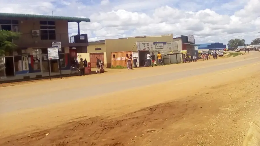
- Nearby: Mazabuka (57 km)
Best time to visit & climate
The most pleasant time to visit is Apr, May, Aug.
| Jan | Feb | Mar | Apr | May | Jun | Jul | Aug | Sep | Oct | Nov | Dec | |
|---|---|---|---|---|---|---|---|---|---|---|---|---|
| Avg °C | 23 | 23 | 23 | 22 | 20 | 18 | 18 | 20 | 24 | 27 | 26 | 24 |
| Rain mm | 200 | 142 | 101 | 31 | 4 | 1 | 1 | 1 | 2 | 10 | 75 | 201 |
📋 Practical info
Geography
Facts
- The Kafue is the longest river entirely in Zambia at 1,576 km.
- It drains a total area of approximately 155,000 square kilometers.
- The Itezhi-Tezhi Dam was completed in 1977 to manage seasonal flow.
- Kafue Gorge Upper power station generates around 750 MW of power.
- The river basin supports about 40% of Zambia's total population.
- The Kafue Flats are a designated Ramsar wetland of global importance.
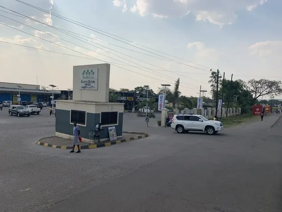
Explore nearby
Notable places around
Route planner — Car & Motorhome
Where do you start? We build the route here, with stops and country notes along the way.
© OpenStreetMap contributors · OpenRouteService
Sights nearby
Frequently asked questions
Where does the Kafue River flow best?
Can you do canoe safaris on the river?
Which animals are seen most frequently?
Is the river navigable all year round?
Are there accommodations near the river?
Kafue River: where is it located?
Kafue River: when is the best time to visit?
Kafue River: why is it worth visiting?

Nearby cities
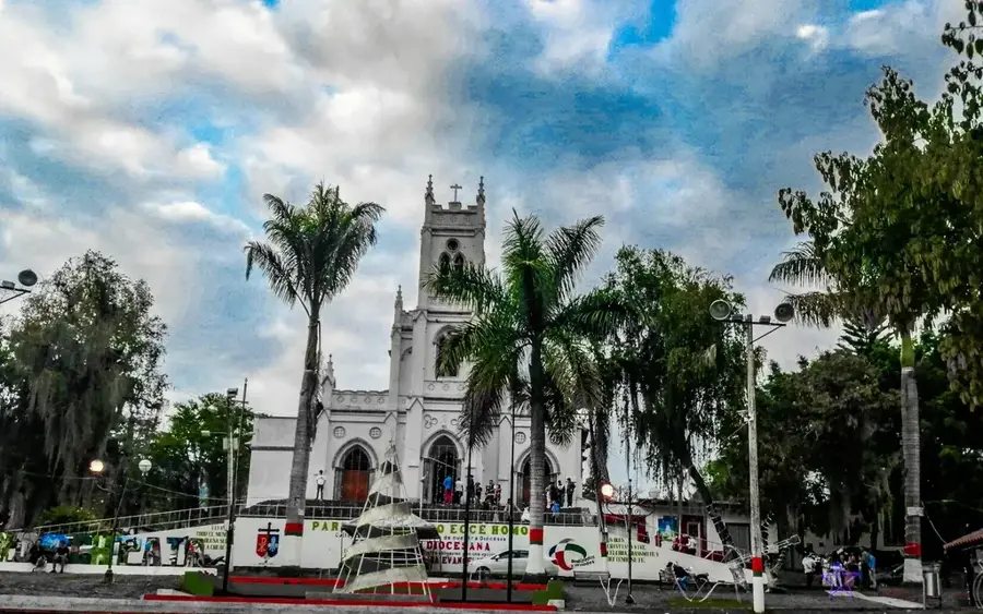


History & landmarks
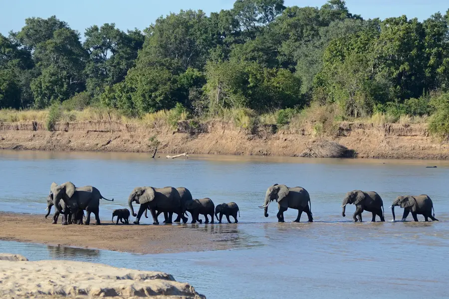
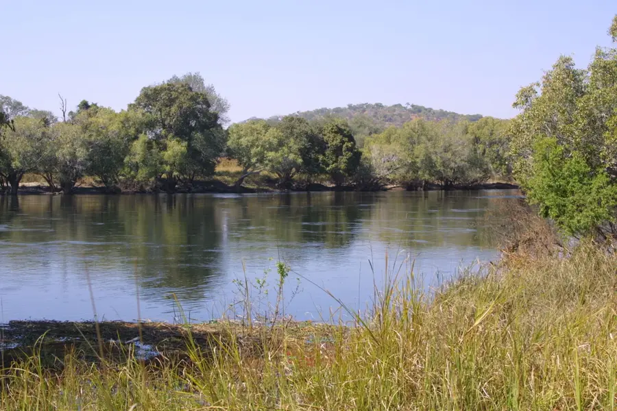

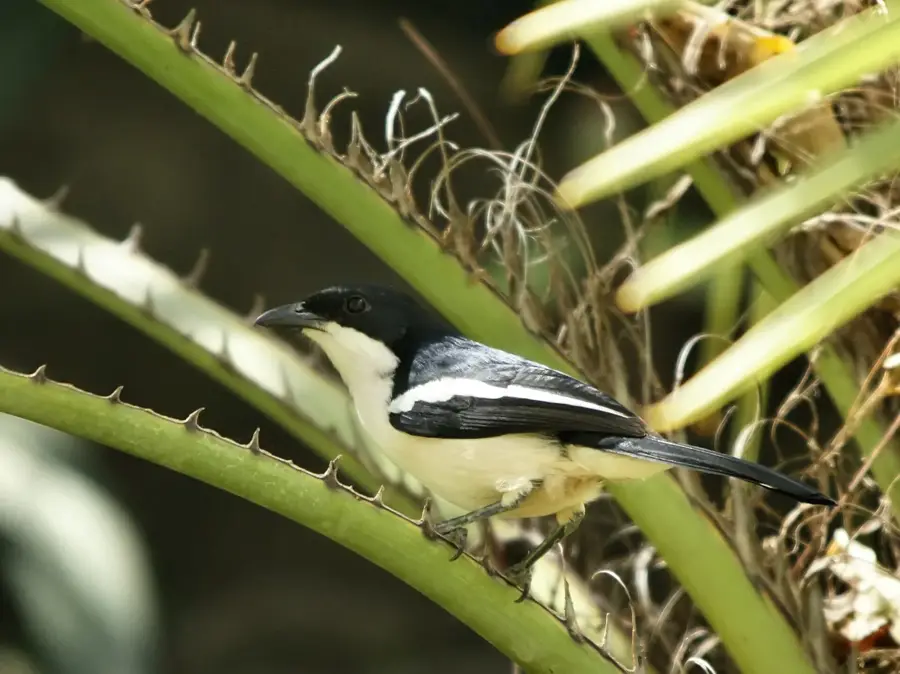
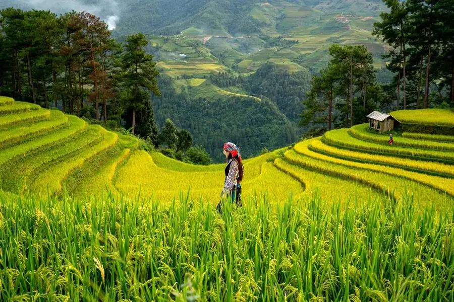
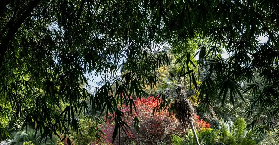
Nature
More places