Plizio Visual Lab
Chama
ℹ️Practical info — Chama
▾
🌤 Weather — 5 days
📍 Nearby
Sights nearby
💡 Tips
- The dirt roads can become impassable during the rainy season; a 4x4 is essential.
- Cash facilities are limited; carry enough Zambian Kwacha for your entire stay.
- Malaria precautions are necessary due to the location in the river valley.
- Electricity can be unreliable, so carrying a power bank is highly recommended.
🍽 Food
The essential maize porridge, usually served with local vegetables or chicken at small eating houses.
Small dried fish from the Luangwa River, often fried in a tomato-based sauce.
Depending on the season, you might find locals selling wild baobab or tamarind fruits.
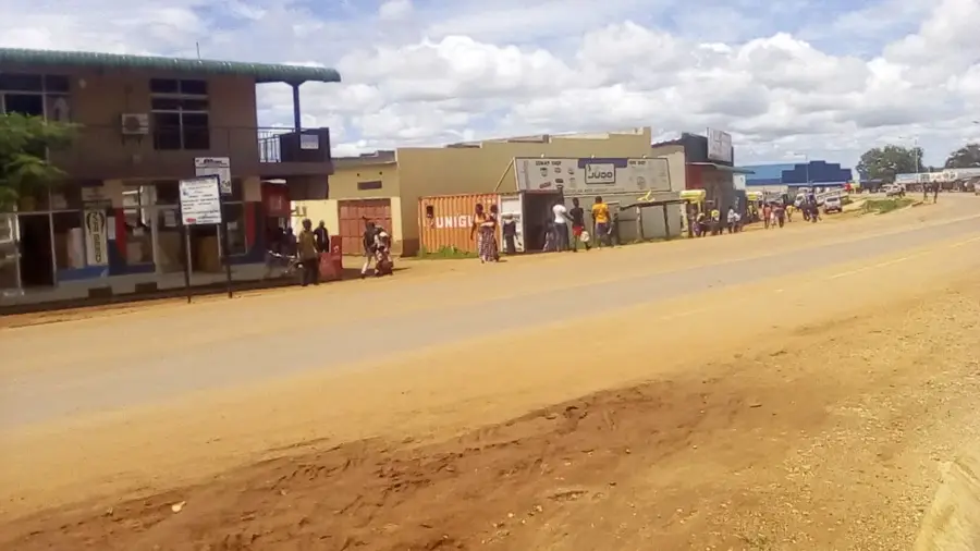
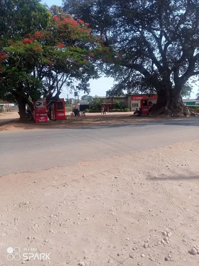
🛍 Shopping · 🧘 Quiet spots
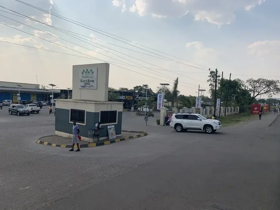
The primary hub for buying fresh vegetables, beans, and daily essentials.
You may find colorful chitenge fabrics sold in small shops along the main road.
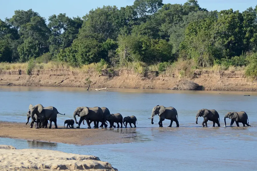
Take a guided walk towards the river areas to spot local birdlife and enjoy the natural silence.
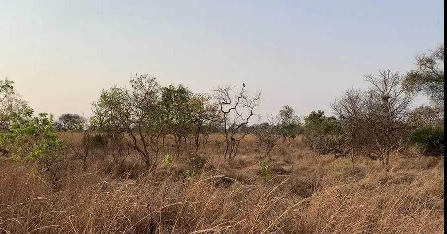
A short walk away from the administrative center reveals peaceful rural scenery and agricultural fields.
Water temperature…
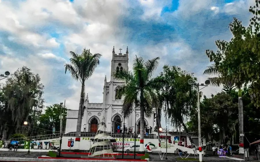
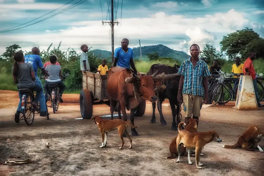
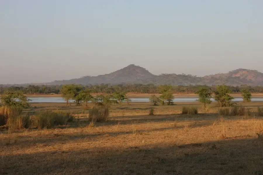
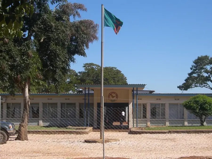
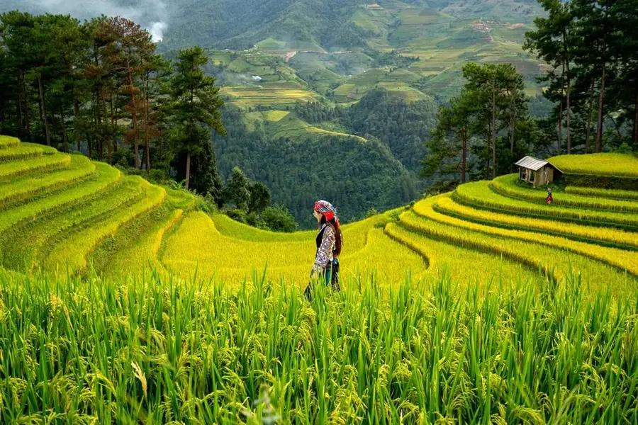
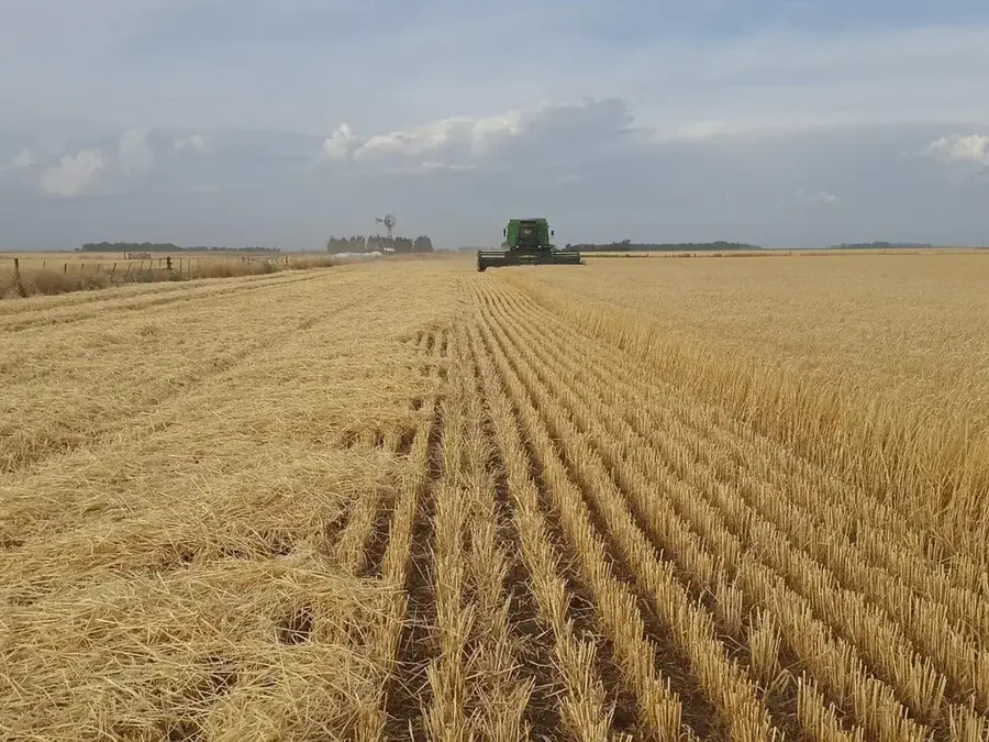
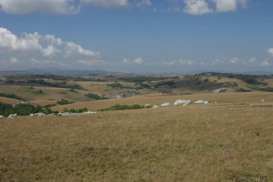
Chama is a remote and culturally rich town in the Muchinga Province of Zambia, positioned deep within the northern reaches of the Luangwa Valley. Until recently, it was part of the Eastern Province but was administratively reassigned to stimulate development in this isolated border region near Malawi. The geography of the area is defined by the foothills of the Muchinga Escarpment and the expansive floodplains of the Luangwa River, resulting in high biodiversity and fertile alluvial soils. The local economy relies heavily on the cultivation of rice and cotton, with 'Chama Rice' being highly regarded for its quality throughout the country. Due to its challenging accessibility, the town remains largely untouched by modern mass tourism, offering authentic insights into the traditional lifestyle of the Tumbuka people. Historically, the region served as a vital corridor for migration and early trade between the Luangwa basin and Lake Nyasa (Lake Malawi).
- Location: Zambia
- Population: ~12.923 (2024)
Best time to visit & climate
The most pleasant time to visit is May, Jun, Aug.
| Jan | Feb | Mar | Apr | May | Jun | Jul | Aug | Sep | Oct | Nov | Dec | |
|---|---|---|---|---|---|---|---|---|---|---|---|---|
| Avg °C | 23 | 23 | 23 | 23 | 21 | 20 | 20 | 22 | 25 | 28 | 28 | 25 |
| Rain mm | 251 | 201 | 185 | 71 | 12 | 4 | 3 | 2 | 3 | 12 | 73 | 212 |
Geography
Facts
- Chama is the northernmost district within the Luangwa Valley region.
- The town is famous for producing high-quality aromatic 'Chama Rice'.
- The district was moved from Eastern Province to Muchinga Province in 2011.
- Chama shares a direct international border with Malawi to the east.
- The primary ethnic group and language spoken in the area is Tumbuka.
- The region is a significant contributor to Zambia's national cotton output.
Explore nearby
Notable places around
Route planner — Car & Motorhome
Where do you start? We build the route here, with stops and country notes along the way.
© OpenStreetMap contributors · OpenRouteService
Sights in the town Chama (1)
Frequently asked questions
Where is Chama located?
Is Chama visited by tourists?
What vehicle is recommended?
What are the road conditions like?
What is there to see?
Chama: where is it located?
Chama: when is the best time to visit?
Chama: why is it worth visiting?

Nearby cities