Plizio Visual Lab
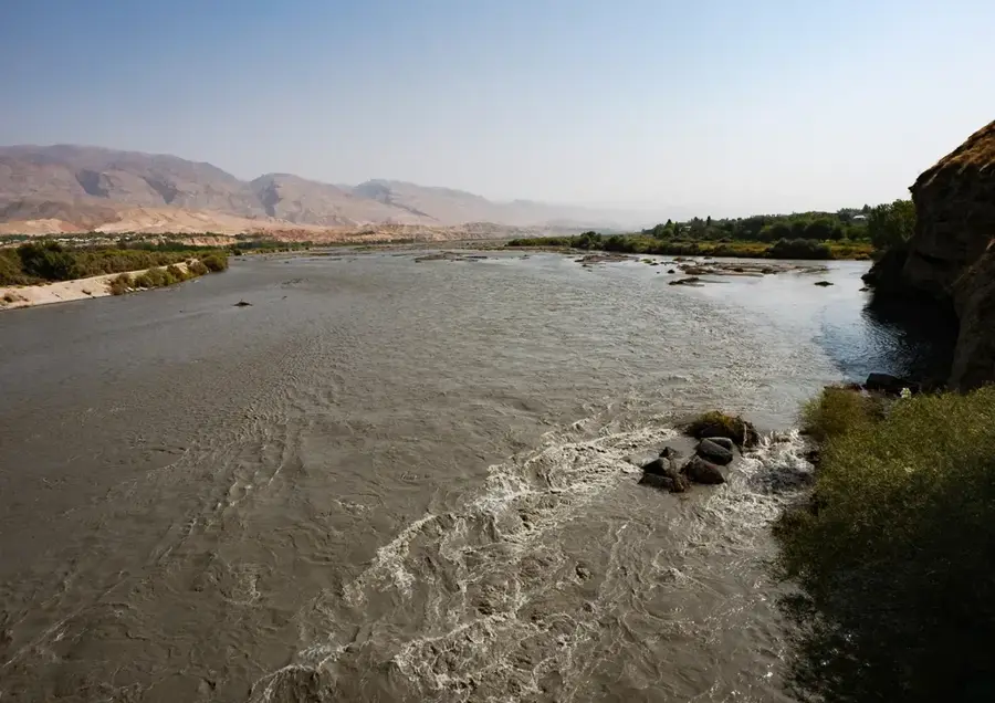
Zarafshan River
Weather…
Water temperature…
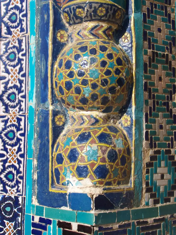
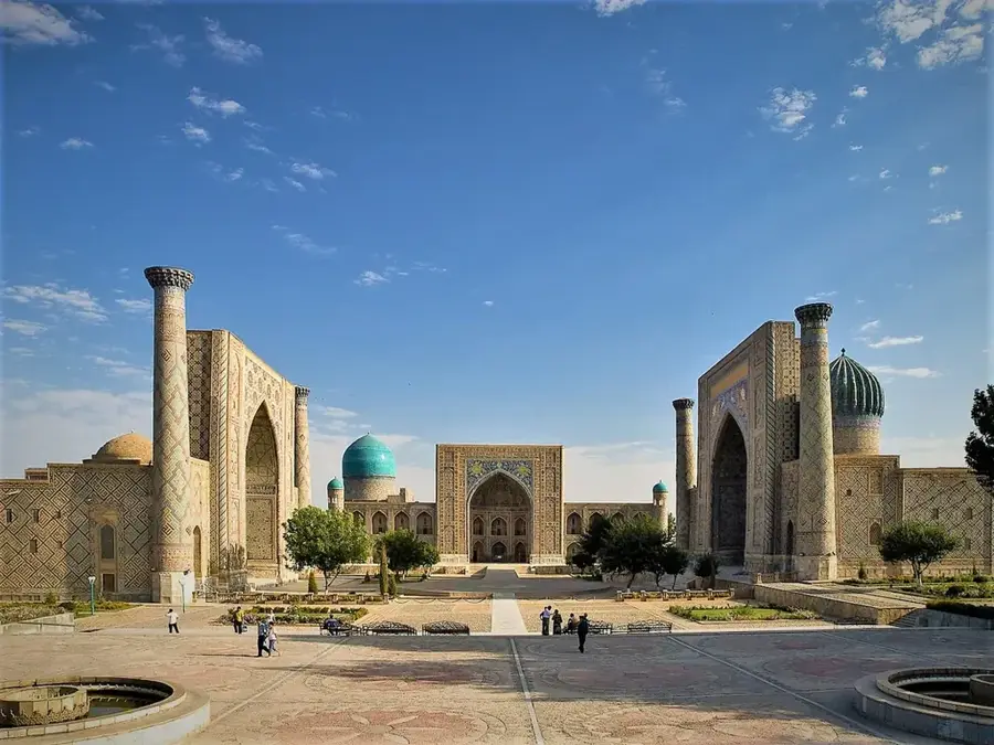
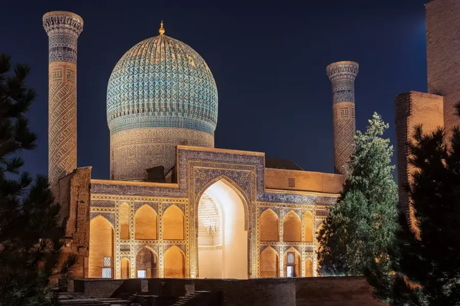
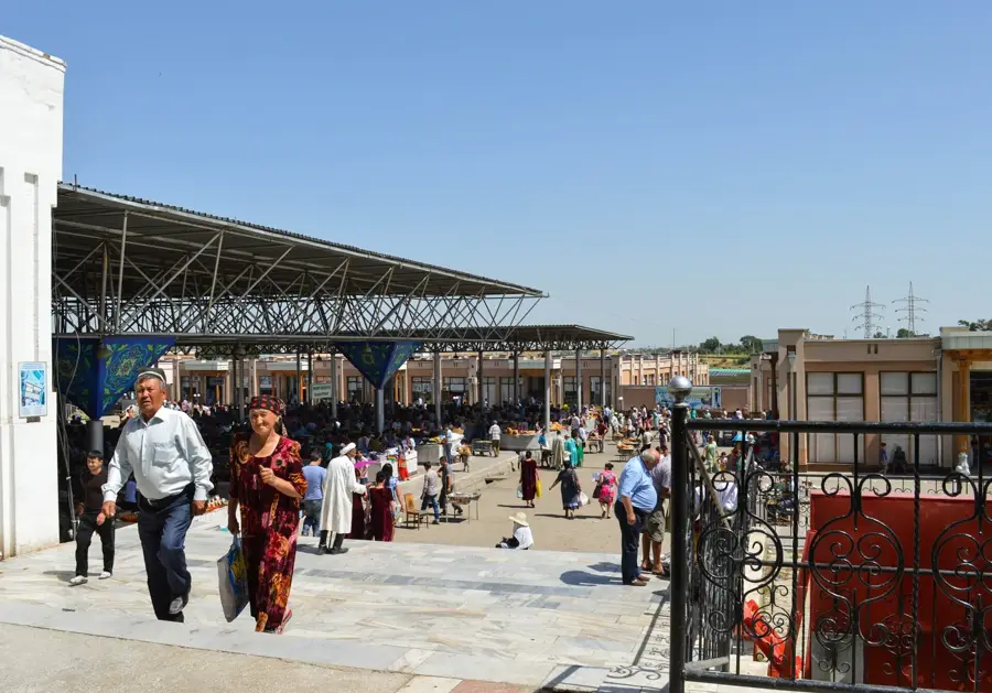
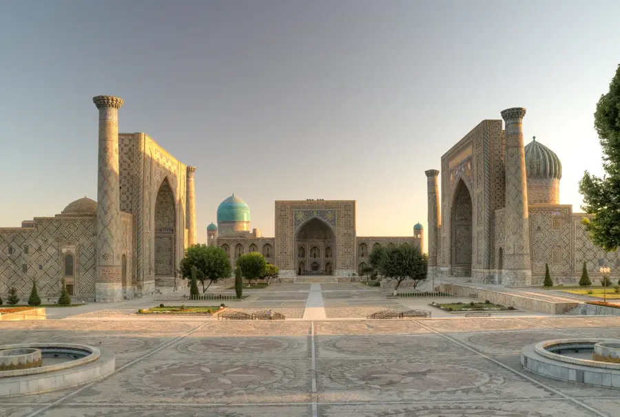
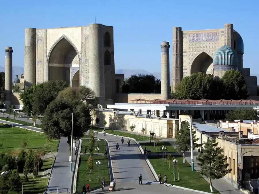
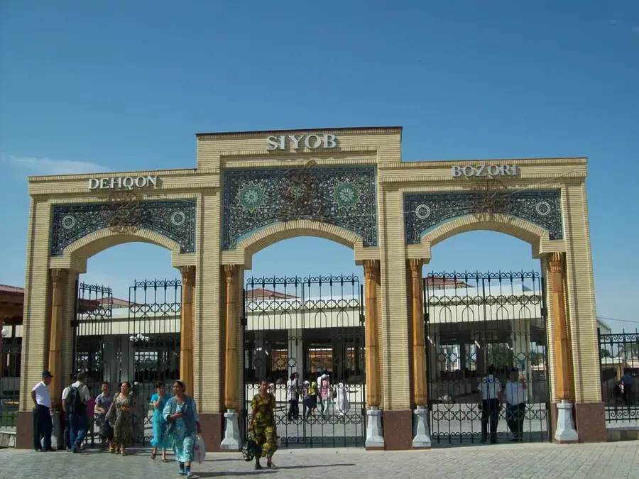
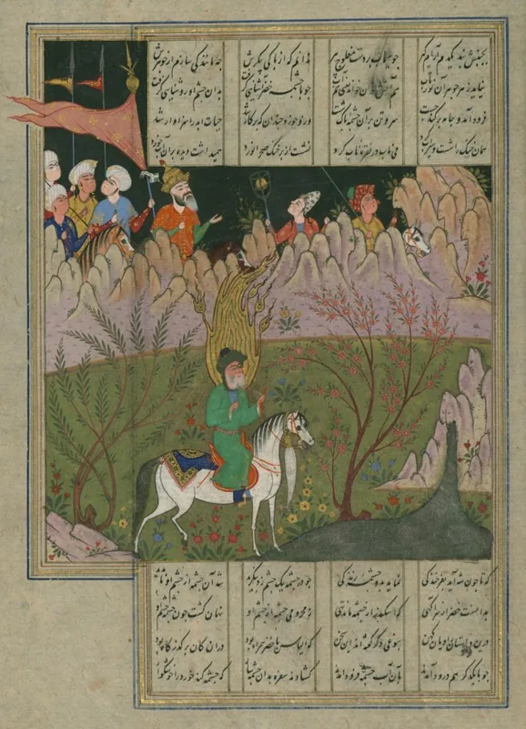
The Zarafshan, whose name means 'gold-spreader' in Persian, is a historically and ecologically significant river in the heart of Central Asia. It originates from the Zarafshan Glacier in Tajikistan and flows through the Uzbek provinces of Samarkand and Bukhara, where it formed the basis for millennia of settled culture. Unlike the major rivers Amu Darya and Syr Darya, the Zarafshan no longer reaches an open body of water today; instead, it vanishes into the Kyzylkum Desert after a journey of about 877 kilometers. The river is the primary source of irrigation for the fertile oases of Samarkand and Bukhara, both of which are UNESCO World Heritage sites. Its water flow is heavily dependent on summer glacier melt, making it vulnerable to climate change. Despite modern dams and canal systems, preserving water quality remains a significant challenge for regional development.
- Location: Uzbekistan
- Nearby: Tudakul Lake (22 km)
Best time to visit & climate
The most pleasant time to visit is Apr, May, Sep.
| Jan | Feb | Mar | Apr | May | Jun | Jul | Aug | Sep | Oct | Nov | Dec | |
|---|---|---|---|---|---|---|---|---|---|---|---|---|
| Avg °C | 1 | 3 | 10 | 17 | 24 | 29 | 31 | 29 | 23 | 15 | 7 | 2 |
| Rain mm | 20 | 31 | 31 | 27 | 13 | 2 | 1 | 0 | 0 | 5 | 18 | 16 |
📋 Practical info
Geography
Facts
- The total length of the Zarafshan is approximately 877 kilometers.
- The river originates at an altitude of over 2,700 meters.
- Its name refers to the gold-bearing sediment in its upper reaches.
- The river is the lifeblood of the Samarkand oasis.
- It was formerly a tributary of the Amu Darya.
- The drainage basin covers approximately 17,700 square kilometers.
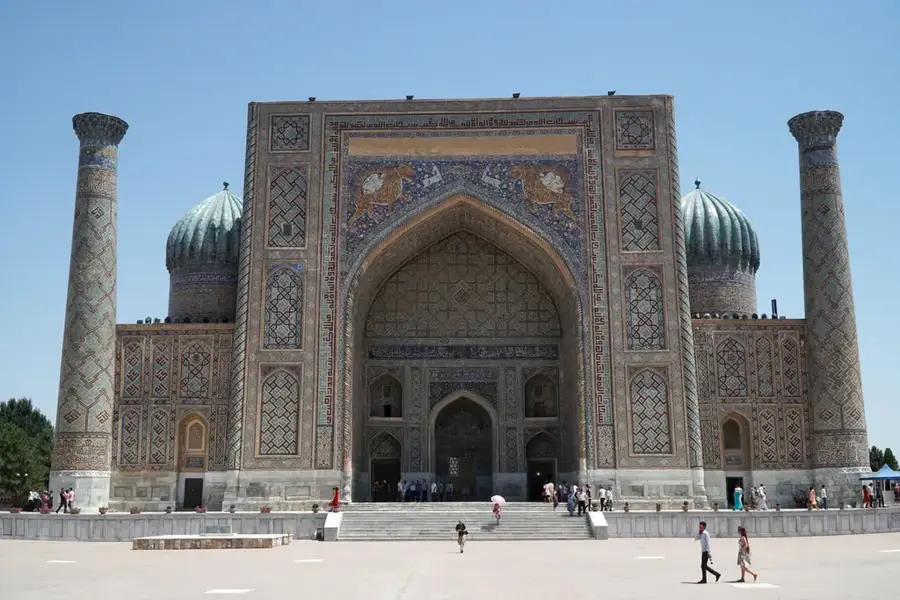
Explore nearby
Notable places around
Route planner — Car & Motorhome
Where do you start? We build the route here, with stops and country notes along the way.
© OpenStreetMap contributors · OpenRouteService
Sights nearby
Frequently asked questions
What is the historical significance of the Zarafshan?
Can one hike along the river?
Is the river water drinkable?
Are there fishing opportunities?
When is the river landscape most beautiful?
Zarafshan River: where is it located?
Zarafshan River: when is the best time to visit?
Zarafshan River: why is it worth visiting?

Nearby cities
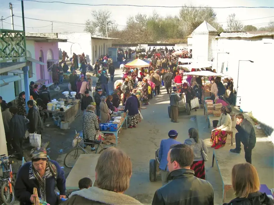
History & landmarks
More places