Plizio Visual Lab
Vuhledar
ℹ️Practical info — Vuhledar
▾
🌤 Weather — 5 days
📍 Nearby
Sights nearby
💡 Tips
- The town's grid layout is a classic example of 1960s Soviet urban planning, making it easy to navigate.
- Look out for the miner monuments that reflect the region's history.
- The steppe wind can be strong, so bring a windbreaker even in summer.
- The compact residential blocks are best explored on foot.
- Respect the industrial heritage and coal mining history of the Donbas region.
🍽 Food
The traditional beetroot soup, often served hearty with sour cream in local canteens.
Popular dumplings filled with potatoes or cherries, a staple of Ukrainian cuisine.
Cured pork fat, typically enjoyed with garlic and dark rye bread.
🛍 Shopping · 🧘 Quiet spots
An authentic spot to buy fresh seasonal vegetables, fruits, and regional honey.
The region is known for sunflower cultivation; the unrefined oil has an intense flavor.
Soviet architecture provided spacious, green inner courtyards that are good for brief pauses.
Right outside the town limits begins the vast steppe of the Donbas region, handy for peaceful views.
Water temperature…
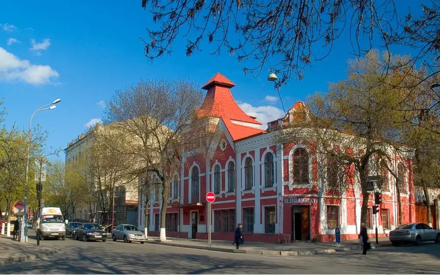
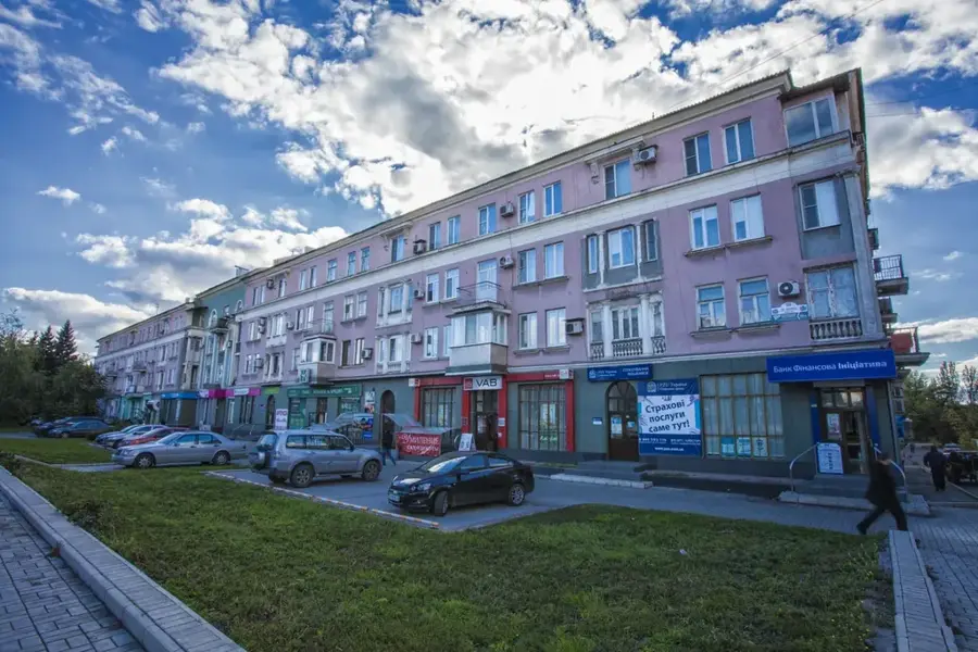
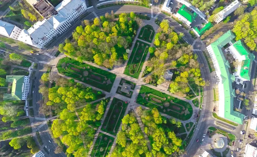
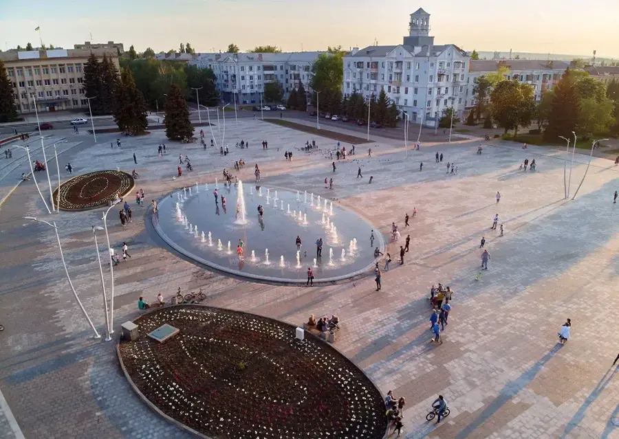
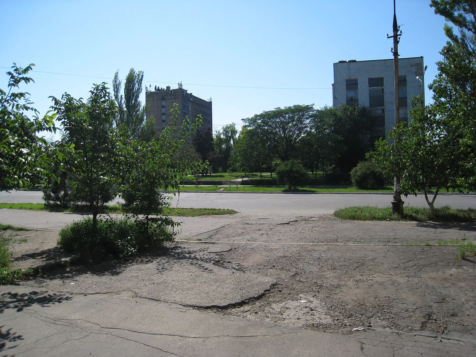
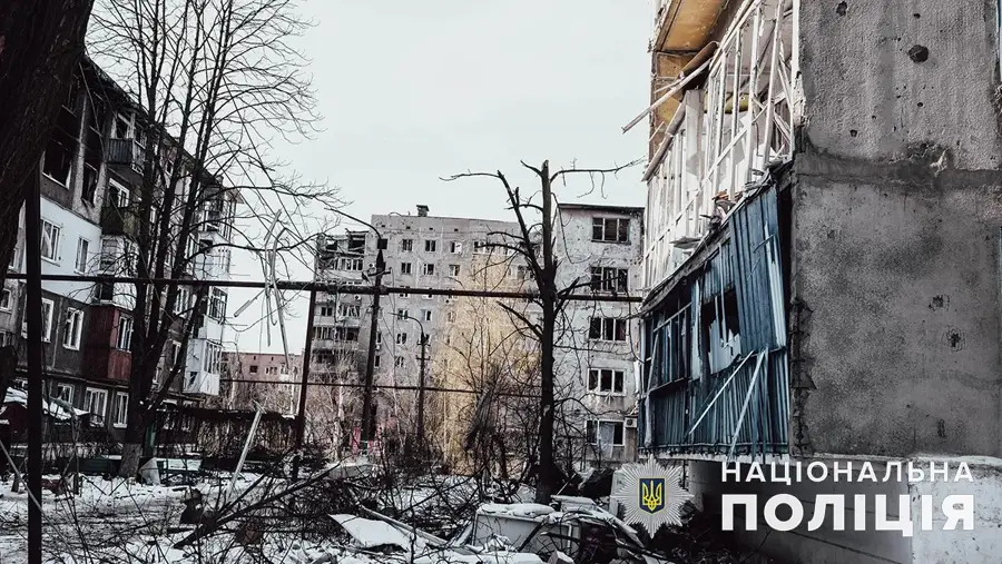
Vuhledar, meaning 'gift of coal,' was founded in the 1960s as a planned Soviet town to house workers from the nearby coal mines. The city is a typical example of late Soviet urbanism, characterized by a rational layout of residential blocks (microdistricts) and wide avenues. Its entire existence and identity are inextricably linked to coal mining in the Donets Basin, which formed the economic backbone of the region. As a city of regional significance in the Donetsk Oblast, Vuhledar was known primarily for its industry rather than tourism. However, for visitors interested in industrial history and 20th-century Soviet architecture, the town gives a unique insight into the life and culture of a mining community. The monumental buildings and planned structure tell the story of the Soviet Union's industrial ambitions in the region. Getting to Vuhledar was traditionally done via regional centers, particularly Donetsk, which had a well-developed rail and road network. Due to its geographical location, the climate is continental, with hot summers and cold winters. The best time to visit from a historical perspective would be the late spring or early autumn months. The local cuisine reflects the multicultural influences of the Donbas region, being simple but hearty.
- Location: Ukraine
- Top sights: Shakhtars'ka slava · Vuhledar City Council
- Nearby: Hirnyk (27 km)
- Population: ~14.144
Geography
Facts
- Founded in the 1960s as a planned mining town.
- Center of the coal industry in the Donets Basin.
- Located in Donetsk Oblast, Ukraine.
- Example of late Soviet urban planning.
- The name literally means 'gift of coal'.
- Its economy was based on the nearby coal mines.
- Features a rational layout of residential blocks.
- Had a pre-war population of around 14,000.
Explore nearby
Notable places around
Route planner — Car & Motorhome
Where do you start? We build the route here, with stops and country notes along the way.
© OpenStreetMap contributors · OpenRouteService
Sights in the town Vuhledar (2)
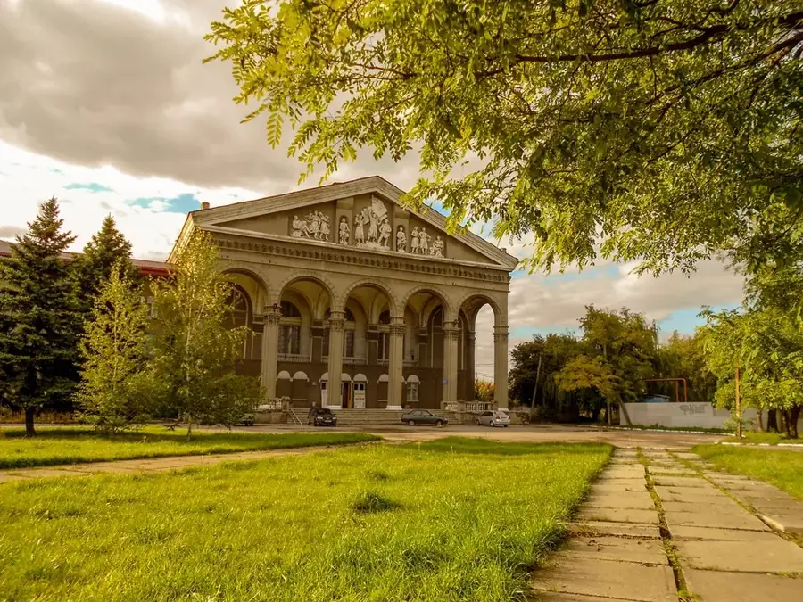
Vuhledar City Council🏺 historical
The Vuhledar City Council serves as the town hall and administrative center in Vuhledar.
Frequently asked questions
Can one visit Vuhledar as a tourist?
What is the climate like in Vuhledar?
Are there historical sites?
Is the city well-connected?
What language is spoken?
Vuhledar: where is it located?
Vuhledar: what is there to see?
Vuhledar: why is it worth visiting?

Nearby cities