Plizio Visual Lab
Shchastia
ℹ️Practical info — Shchastia
▾
🌤 Weather — 5 days
📍 Nearby
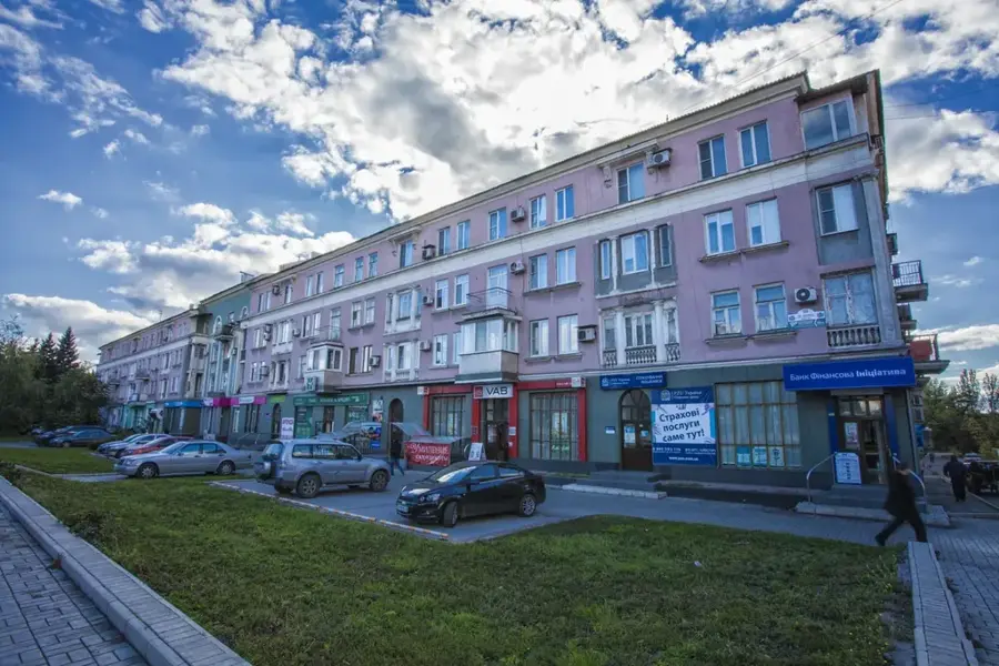
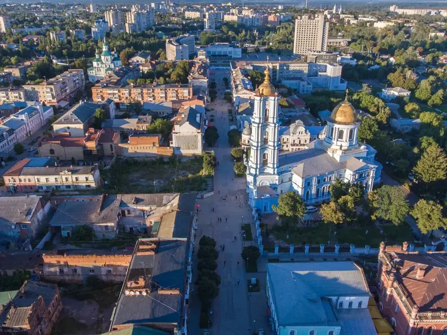
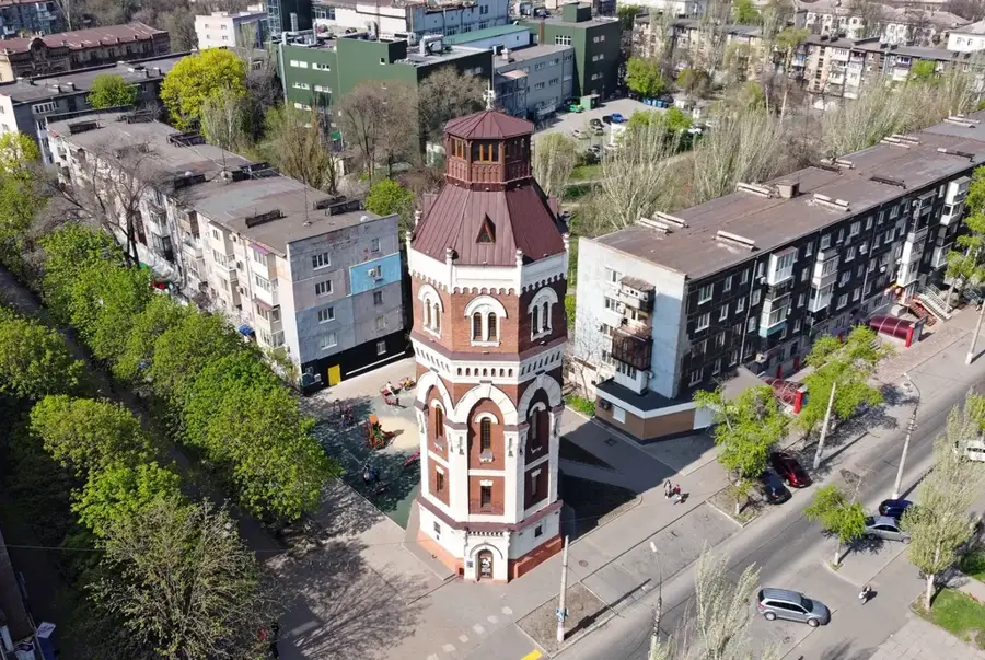
Sights nearby
💡 Tips
- Shchastia literally translates to 'Happiness' in Ukrainian, making the town sign a popular albeit poignant photo stop.
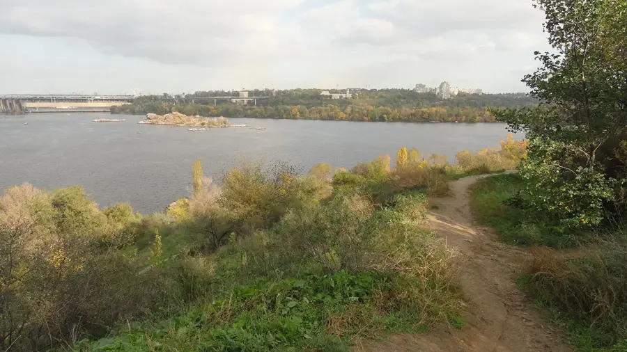
- Located on the banks of the Siverskyi Donets river, the area traditionally offered scenic riverbanks for fishing.
- The Luhansk thermal power plant dominates the skyline; photography near critical infrastructure is generally restricted in Ukraine.
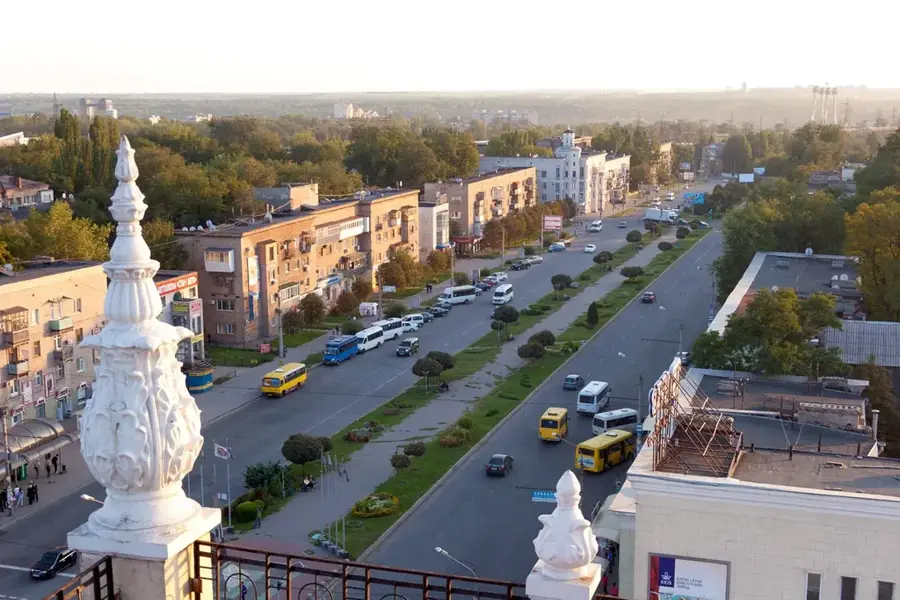
- Local transport relies heavily on regional buses connecting to larger hubs in the Luhansk region.
🍽 Food
Traditional Ukrainian beet soup, typically enjoyed at local taverns near the town center.
Dumplings filled with potatoes or cabbage, a staple in local home-style eateries.
Locally caught from the Siverskyi Donets river, traditionally fried or smoked by locals.
🛍 Shopping · 🧘 Quiet spots
The central market is the best place to find fresh regional produce and homemade preserves.
Small kiosks may occasionally stock traditional embroidered items or woodwork.
A historically tranquil spot for walking and enjoying the natural surroundings.
Small green spaces within the residential blocks offering a quiet respite.
Water temperature…
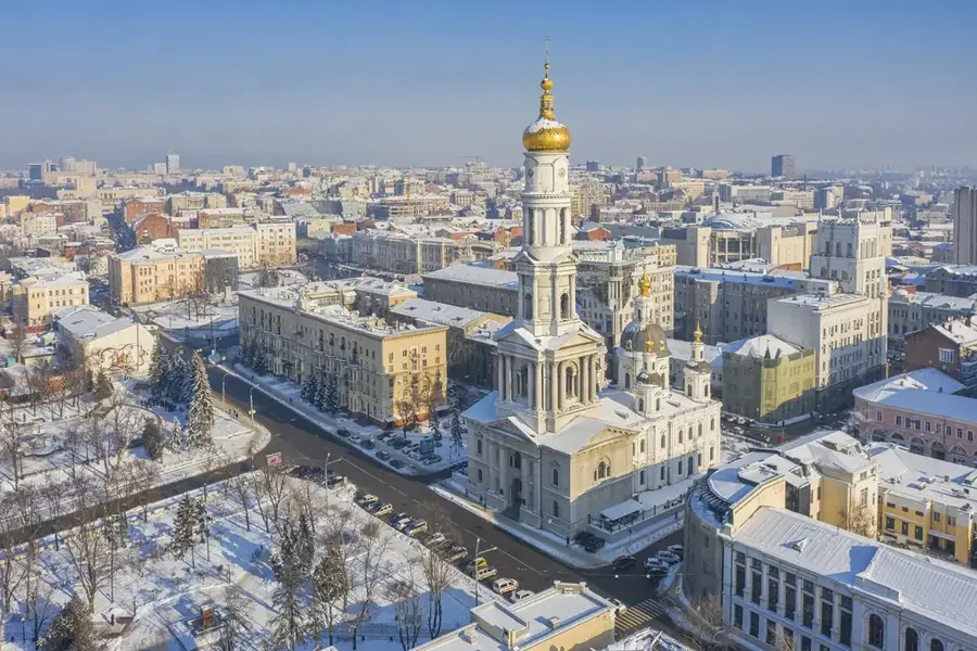
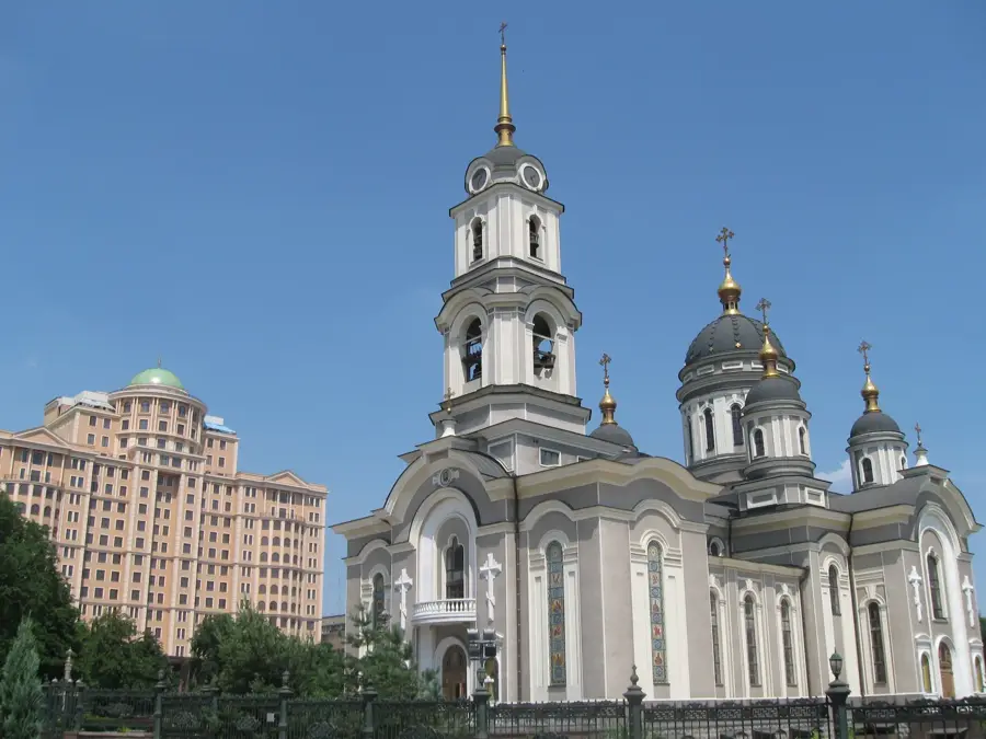
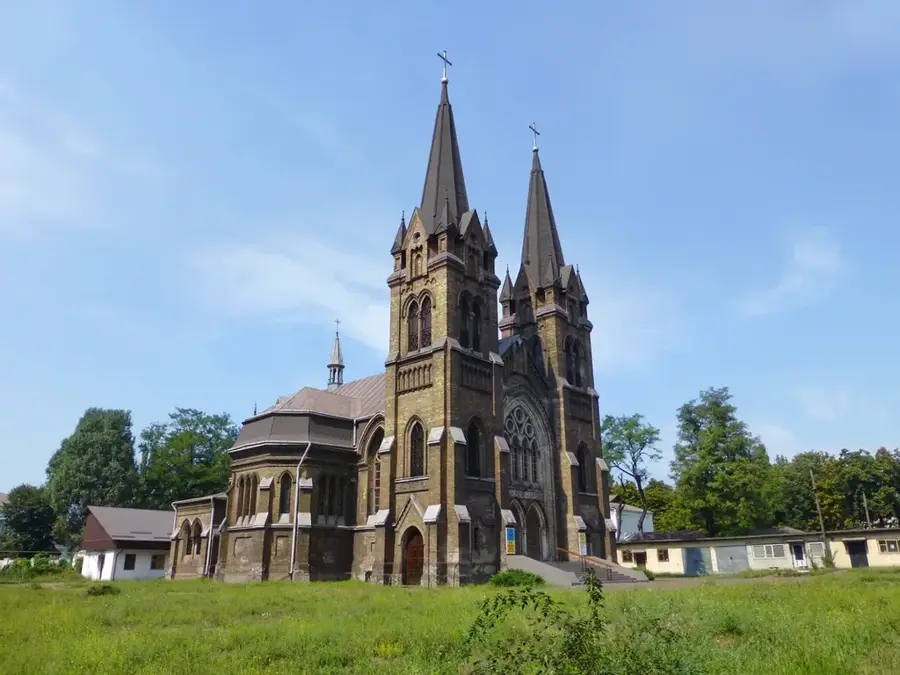
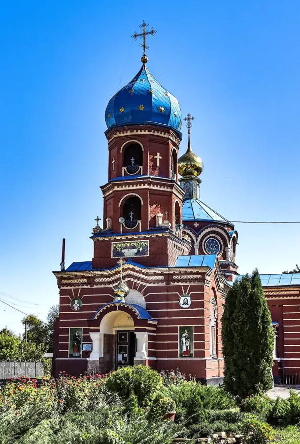
Shchastia, whose name translates to 'Happiness,' is a city of regional significance in Luhansk Oblast, eastern Ukraine. It is picturesquely located on the left bank of the Siverskyi Donets river. The city was founded in the 18th century and developed into an important industrial center, primarily due to the construction of the Luhansk Thermal Power Plant, one of the largest in the region. This power plant was long the economic heart of the city and shaped the lives of its inhabitants. Before recent conflicts, Shchastia was a typical example of a Soviet-style industrial city, but with the charm imparted by its riverside location. The surrounding nature offered recreational opportunities for the residents. The city had basic infrastructure, including schools, cultural centers, and sports facilities. The St. Catherine Orthodox Church was an important religious and architectural landmark for the community. The city is connected by roads to the regional capital, Luhansk, and other surrounding towns. However, due to the ongoing conflict in the region, travel there is severely restricted and involves significant risks. The city, once known for its energy production, has become a symbol of the complex challenges in eastern Ukraine. Theoretically, the best time to understand the region would have been the stable and peaceful period before the conflict.
- Location: Ukraine
- Nearby: Luhansk (16 km)
- Population: ~11.411
Best time to visit & climate
The most pleasant time to visit is Jun–Aug.
| Jan | Feb | Mar | Apr | May | Jun | Jul | Aug | Sep | Oct | Nov | Dec | |
|---|---|---|---|---|---|---|---|---|---|---|---|---|
| Avg °C | -6 | -5 | 1 | 9 | 16 | 21 | 24 | 23 | 16 | 9 | 2 | -4 |
| Rain mm | 50 | 39 | 40 | 42 | 51 | 59 | 58 | 30 | 39 | 39 | 42 | 47 |
Geography
Facts
- The city's name means 'Happiness'.
- Located on the Siverskyi Donets river.
- Founded in the 18th century.
- Site of the large Luhansk thermal power plant.
- An important energy hub in eastern Ukraine.
- The St. Catherine Church is a local landmark.
- The city has experienced severe conflict since 2014.
- Before the conflict, it was a local center for riverside recreation.
Explore nearby
Notable places around
Route planner — Car & Motorhome
Where do you start? We build the route here, with stops and country notes along the way.
© OpenStreetMap contributors · OpenRouteService
Sights in the town Shchastia (1)
Frequently asked questions
What does the name Shchastia mean?
Where is the city located?
What is the economic significance?
What was the city like before the conflict?
Is there nature in the surroundings?
Shchastia: where is it located?
Shchastia: when is the best time to visit?
Shchastia: why is it worth visiting?

Nearby cities