Plizio Visual Lab
Stanytsia Luhanska
ℹ️Practical info — Stanytsia Luhanska
▾
🌤 Weather — 5 days
📍 Nearby
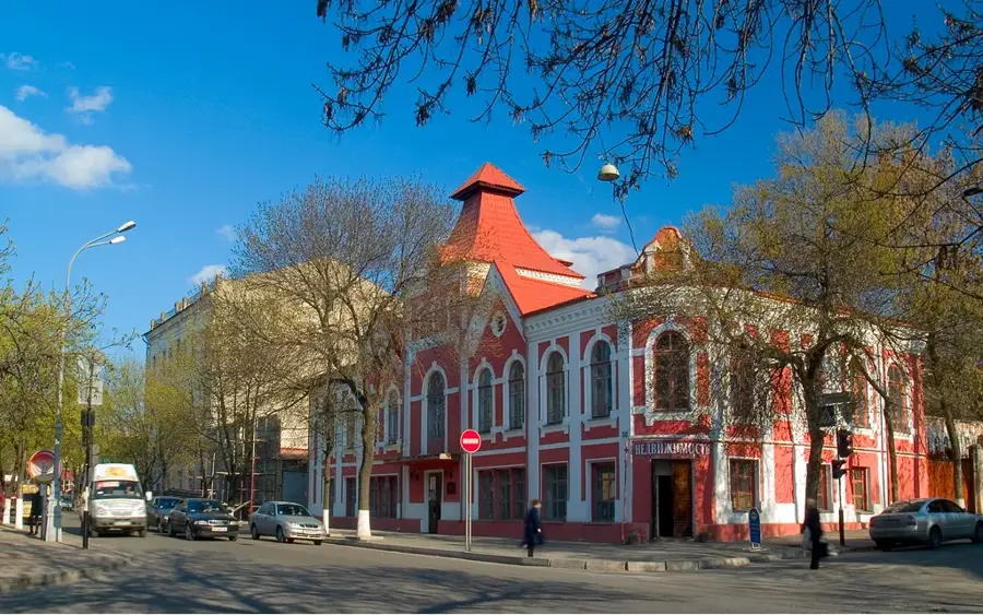
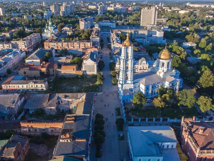
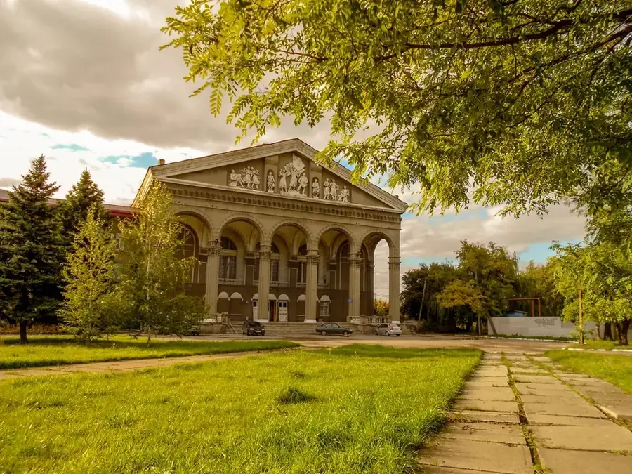
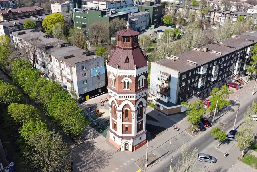
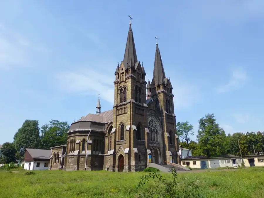
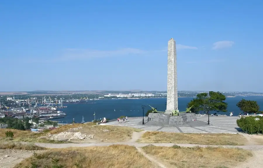
Sights nearby
💡 Tips
- The banks of the Siverskyi Donets river are scenic, but always stay on clearly marked paths due to the regional context.
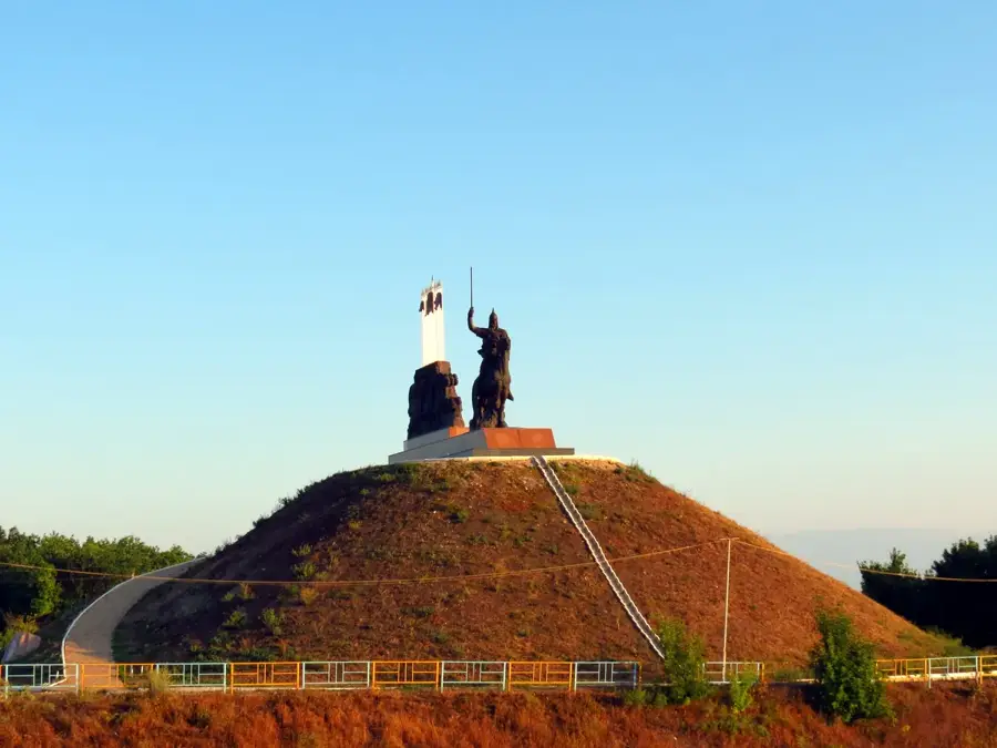
- Visit the local history museum if open to learn about the area's rich Don Cossack heritage.
- Summers in this steppe region are hot and dry; always carry plenty of drinking water when walking outdoors.
- The local open-air markets are most active in the morning; arrive early to find fresh regional produce.
🍽 Food
Locally produced wildflower honey - find it at the central morning market.
Ukrainian beet soup - look for it at small, family-run cafes in the center.
Fresh catch from the Siverskyi Donets - occasionally found as a daily special at local eateries.
🛍 Shopping · 🧘 Quiet spots
Buy fresh tomatoes and homemade pickles directly from farmers at the bazaar.
Occasionally, small handmade woodwork is sold by local artisans near the square.
Quiet wooded areas on the outskirts, suitable for a peaceful walk on paved roads.
A small, modest green space for resting under the trees.
Water temperature…
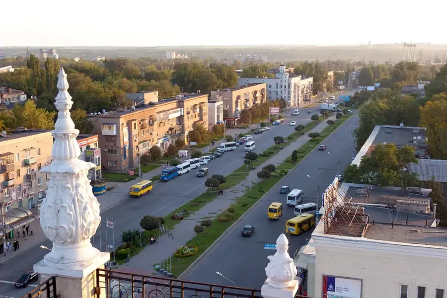
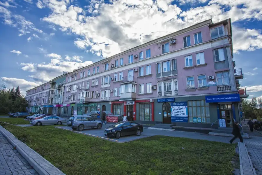
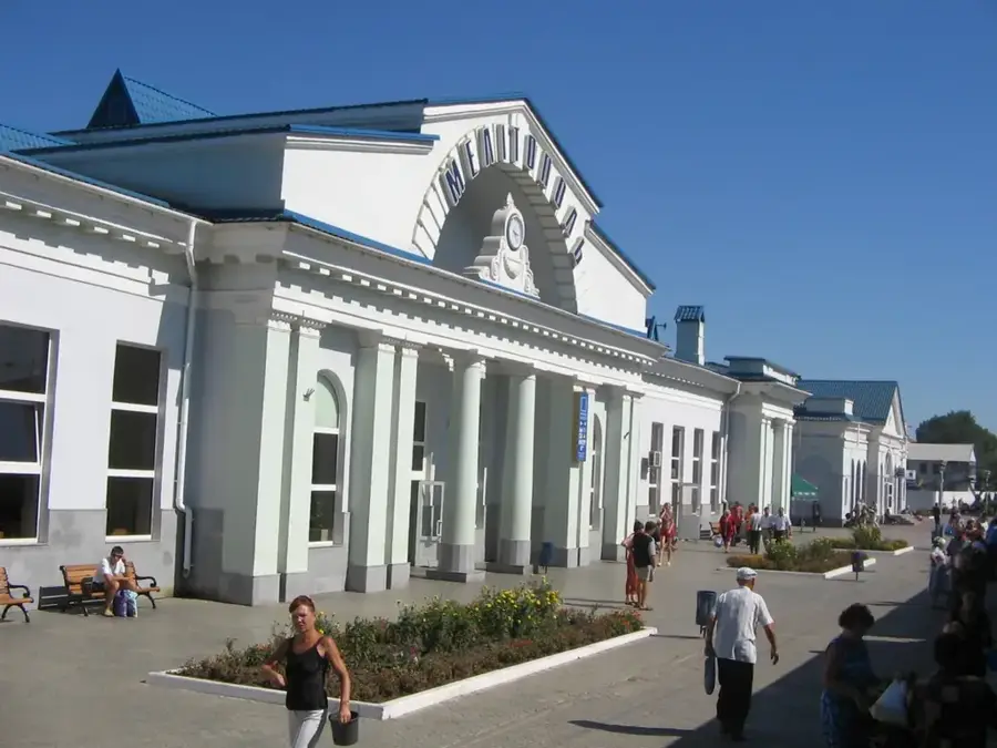
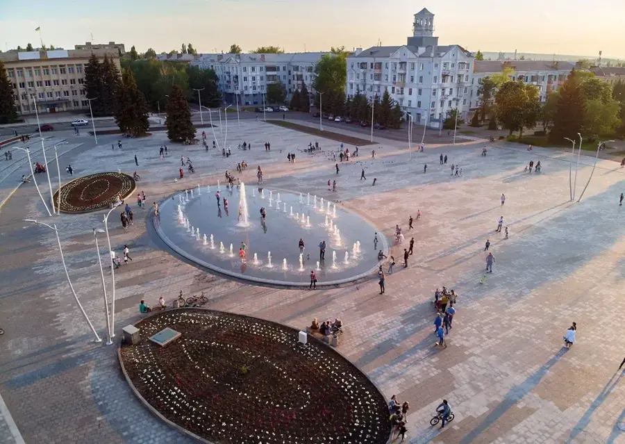
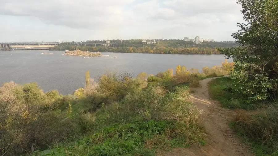
Stanytsia Luhanska is an important administrative and historical settlement in Luhansk Oblast, eastern Ukraine. Located on the left bank of the Siverskyi Donets river, it has deep roots as a Don Cossack settlement, founded in the 17th century. This heritage is visible in the local culture. The town serves as a crucial crossing point and has gained prominence due to the conflict in Eastern Ukraine, with its bridge being a key humanitarian corridor. The region's landscape is characterized by the steppe and the river valley. The local economy has traditionally been based on agriculture. Reaching Stanytsia Luhanska can be challenging due to its location in a conflict zone. Due to the ongoing situation, travel is not recommended for tourism, but the settlement remains a testament to the history of the Don Cossack people.
- Location: Ukraine
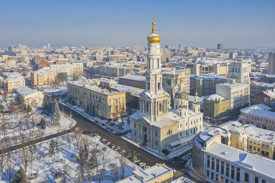
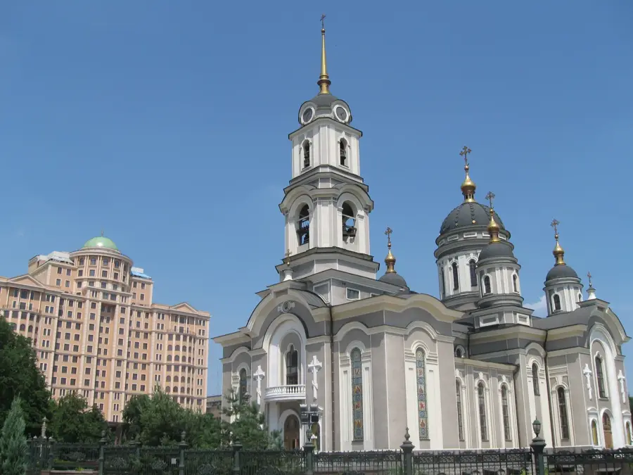
- Top sights: Baba s khlebom · Stanichno-Lugans'kii kraieznavchii muzei · Akvalend Katrin
- Nearby: Luhansk (22 km)
- Population: ~12.258
Best time to visit & climate
The most pleasant time to visit is Jun, Aug, Sep.
| Jan | Feb | Mar | Apr | May | Jun | Jul | Aug | Sep | Oct | Nov | Dec | |
|---|---|---|---|---|---|---|---|---|---|---|---|---|
| Avg °C | -6 | -5 | 1 | 9 | 16 | 21 | 24 | 24 | 17 | 9 | 2 | -3 |
| Rain mm | 47 | 38 | 38 | 41 | 52 | 56 | 60 | 29 | 38 | 38 | 39 | 45 |
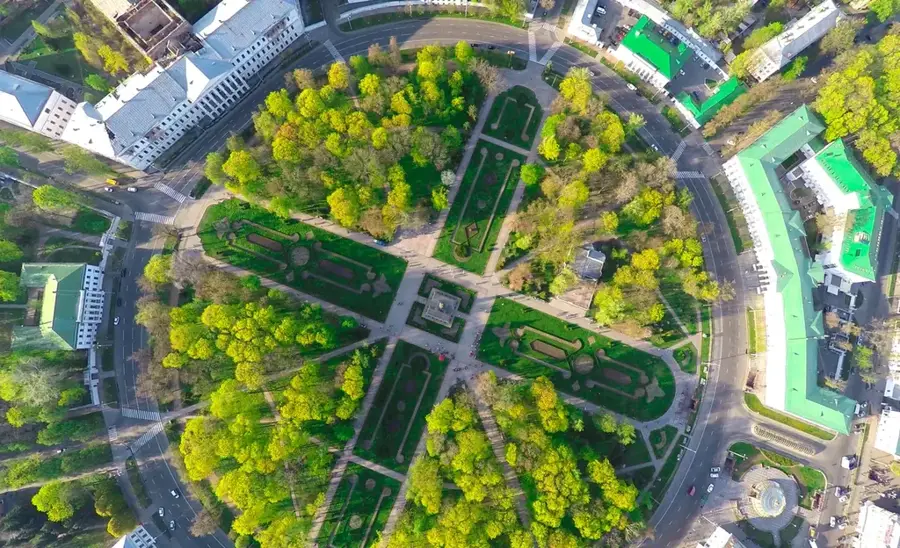
Geography
Facts
- An important crossing point on the Siverskyi Donets river.
- Historically a Don Cossack settlement.
- Founded in the late 17th century.
- Administrative center of its raion (district).
- Features a landscape typical of the Ukrainian steppe.
- Its bridge serves as a humanitarian corridor.
- Located near the city of Luhansk.
- Rich in Cossack history and traditions.
Explore nearby
Notable places around
Route planner — Car & Motorhome
Where do you start? We build the route here, with stops and country notes along the way.
© OpenStreetMap contributors · OpenRouteService
Sights in the town Stanytsia Luhanska (3)
Frequently asked questions
Is Stanyzja Luhanska safe for tourists?
What type of accommodation is available in the region?
Can you explore the surroundings of Stanyzja Luhanska?
Is there public transport?
What is the most important tip for this place?
Stanytsia Luhanska: where is it located?
Stanytsia Luhanska: what is there to see?
Stanytsia Luhanska: when is the best time to visit?
Stanytsia Luhanska: why is it worth visiting?

Nearby cities