Plizio Visual Lab
Podolian Upland
Weather…
Water temperature…
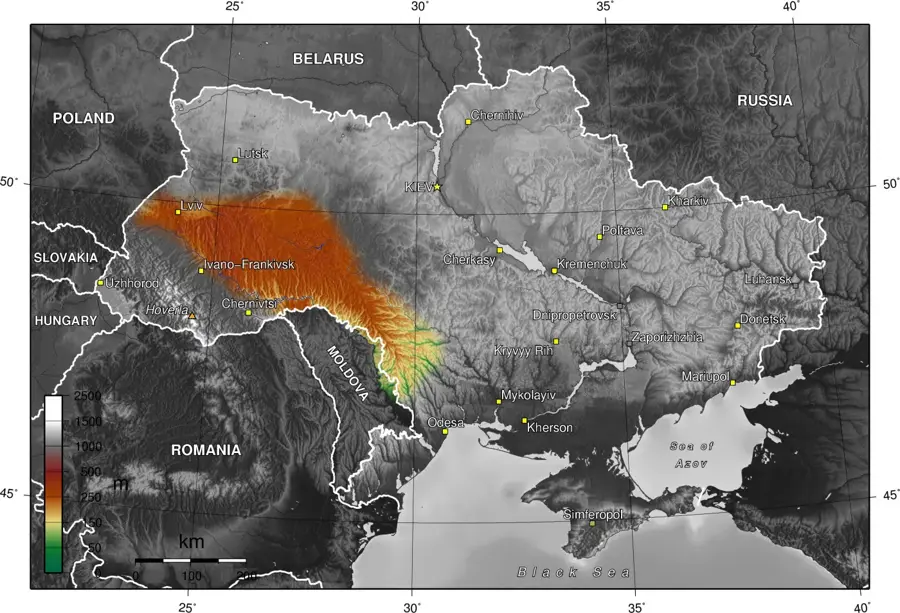
The Podolian Upland is a vast plateau in southwestern Ukraine, characterized by a gently rolling surface and deeply incised river valleys. It extends from the Dniester River in the south to the Volyn Upland in the north, merging with the Carpathian foothills to the west. The average elevation of the plateau ranges from 300 to 350 meters, with Mount Kamula serving as its highest point at 471 meters. Geologically, the upland is situated on the flank of the Ukrainian Shield, overlain by thick layers of Paleozoic and Mesozoic sedimentary rocks, including limestone and chalk. The Dniester Canyon is one of its most striking features, where the river has carved through the plateau to reveal ancient geological strata. The presence of highly fertile chernozem soils makes this region a critical agricultural powerhouse for Ukraine, primarily for grain and sugar beet production. Its temperate continental climate supports a diverse forest-steppe environment. Historically, the upland's strategic river passages were fortified with numerous castles and fortresses, reflecting its role as a crossroad of civilizations.
- Location: Ukraine
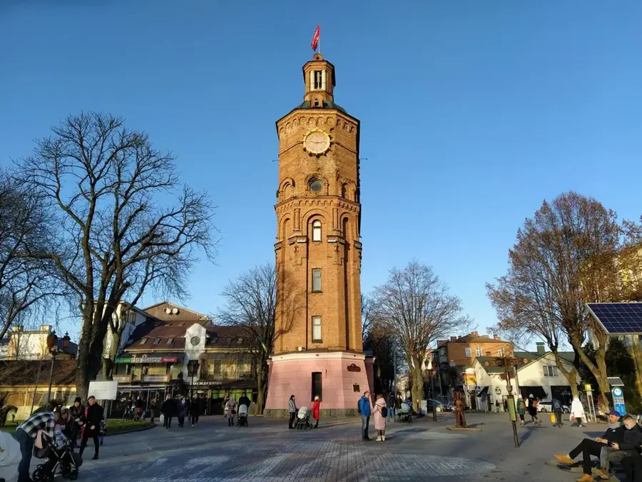
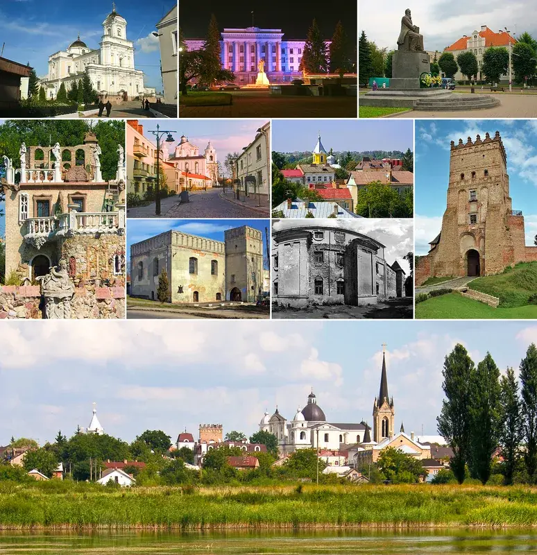
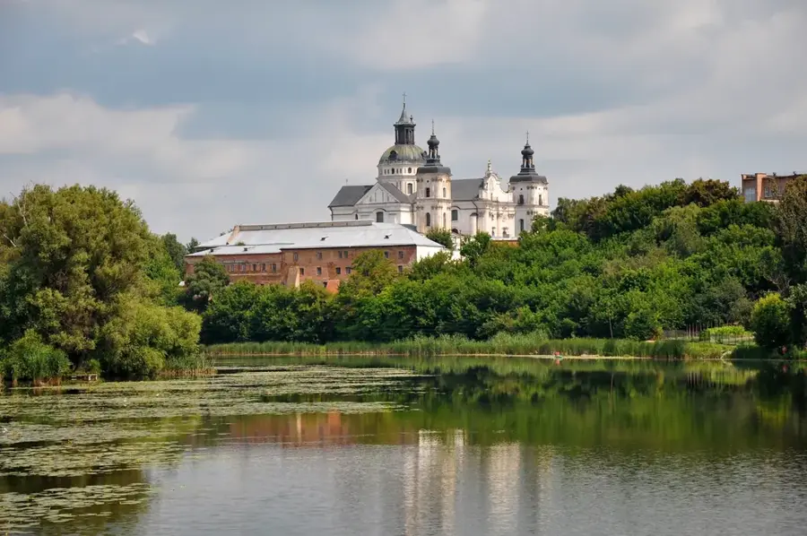
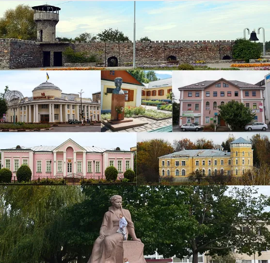
- Nearby: Dunaivtsi (17 km)
Best time to visit & climate
The most pleasant time to visit is Jun–Aug.
| Jan | Feb | Mar | Apr | May | Jun | Jul | Aug | Sep | Oct | Nov | Dec | |
|---|---|---|---|---|---|---|---|---|---|---|---|---|
| Avg °C | -5 | -3 | 2 | 9 | 15 | 19 | 21 | 20 | 15 | 8 | 3 | -3 |
| Rain mm | 36 | 38 | 43 | 46 | 68 | 92 | 86 | 60 | 49 | 48 | 40 | 38 |
📋 Practical info
Geography
Facts
- Average elevation ranges from 300 to 350 meters.
- The highest peak is Mount Kamula at 471 meters.
- Features the Dniester Canyon, a significant natural landmark.
- Geology includes thick sequences of limestone and chalk.
- Dominated by highly productive chernozem (black earth) soils.
- Home to world-renowned gypsum caves like Optymistychna.
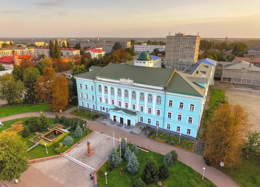
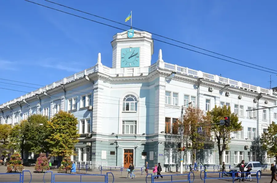
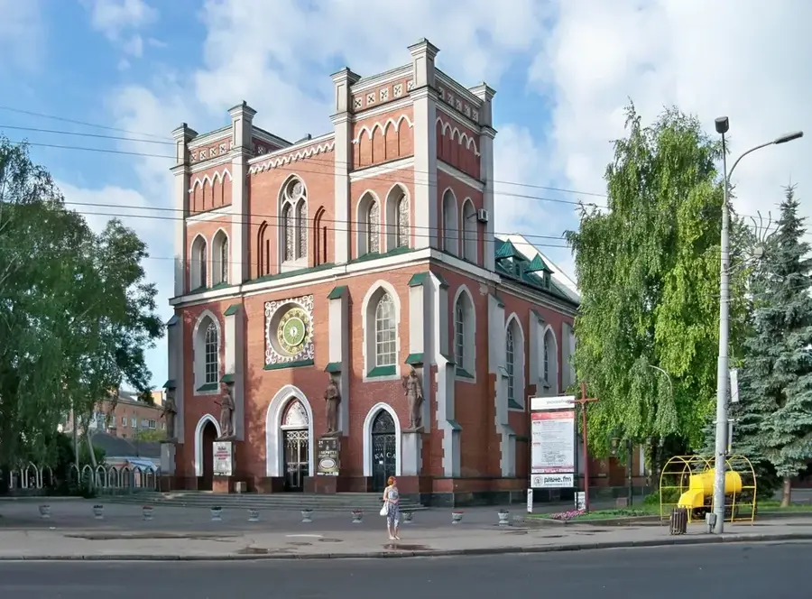
Explore nearby
Notable places around
Route planner — Car & Motorhome
Where do you start? We build the route here, with stops and country notes along the way.
© OpenStreetMap contributors · OpenRouteService
Sights nearby
Frequently asked questions
Where does the Podolian Upland extend?
What is the characteristic relief?
Are there caves there?
What is the land used for?
Which major cities are located here?
Podolian Upland: where is it located?
Podolian Upland: when is the best time to visit?
Podolian Upland: why is it worth visiting?

Nearby cities