Plizio Visual Lab
Chatyr-Dag
Weather…
Water temperature…
Chatyr-Dag is a prominent limestone massif on the Crimean Peninsula, ranking among the region's most impressive natural monuments. Its highest point, Eklizi-Burun, reaches an elevation of 1,527 meters and has an expansive view of the surrounding landscape. The mountain range is renowned for its extensive karst landscapes and features more than 140 caves and shafts. One of the most spectacular is the Marble Cave, discovered in 1987, which is world-famous for its extraordinary dripstone formations. Geologically, Chatyr-Dag consists of two plateaus, the upper and lower, shaped by erosion and tectonic processes. The region hosts rare alpine flora and is an important research area for geologists and biologists. Visitors especially appreciate the area for its challenging hiking trails and the cool, clear air in the higher elevations.
- Location: Ukraine
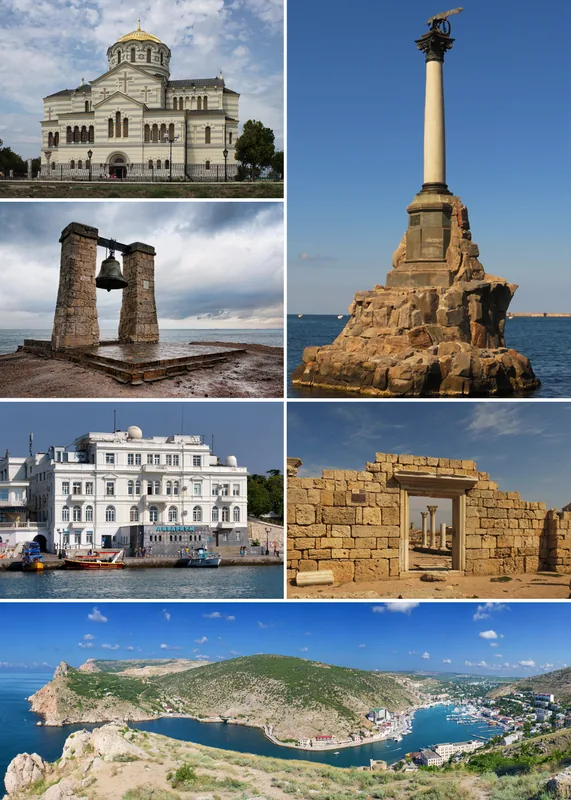
- Top sights: Marble's · Emine Bayır Hasar
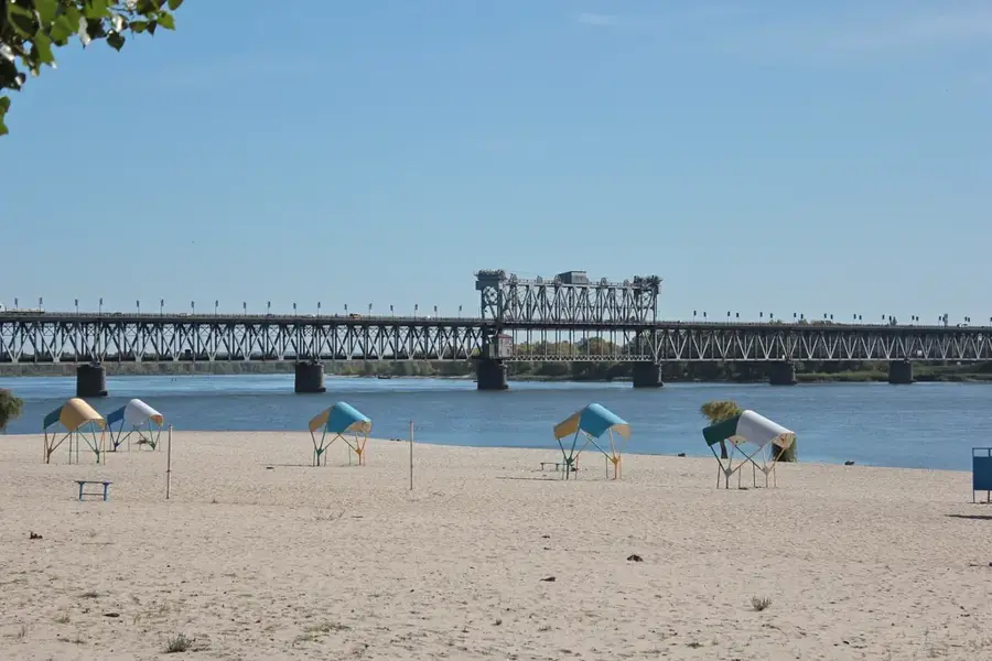
- Nearby: Alushta (15 km)
Best time to visit & climate
The most pleasant time to visit is Jun–Aug.
| Jan | Feb | Mar | Apr | May | Jun | Jul | Aug | Sep | Oct | Nov | Dec | |
|---|---|---|---|---|---|---|---|---|---|---|---|---|
| Avg °C | 0 | 1 | 4 | 9 | 16 | 20 | 23 | 23 | 18 | 11 | 6 | 2 |
| Rain mm | 47 | 35 | 34 | 31 | 43 | 51 | 39 | 37 | 37 | 46 | 43 | 43 |
📋 Practical info
Geography
Facts
- The highest peak is Eklizi-Burun at 1,527 meters.
- Features a distinct two-tiered plateau structure.
- Home to more than 140 karst caves and shafts.
- The famous Marble Cave was discovered in 1987.
- Its name means 'Tent Mountain' in Crimean Tatar.
- Significant site for studying karst geomorphology.
Explore nearby
Notable places around
Route planner — Car & Motorhome
Where do you start? We build the route here, with stops and country notes along the way.
© OpenStreetMap contributors · OpenRouteService
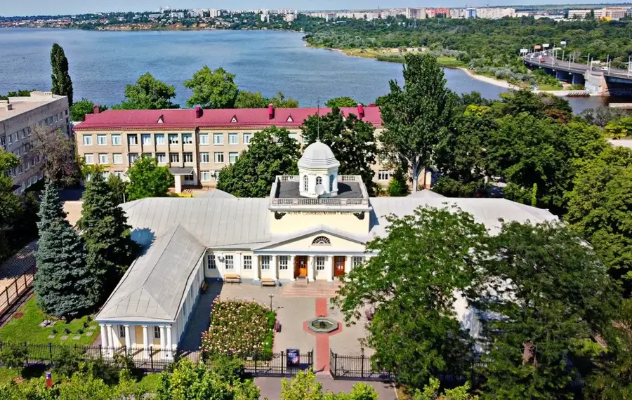
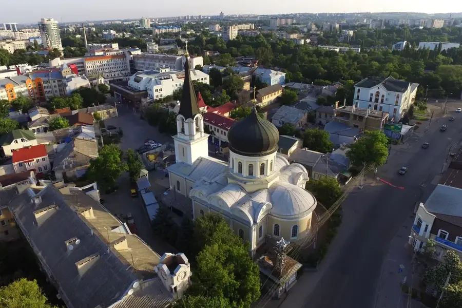
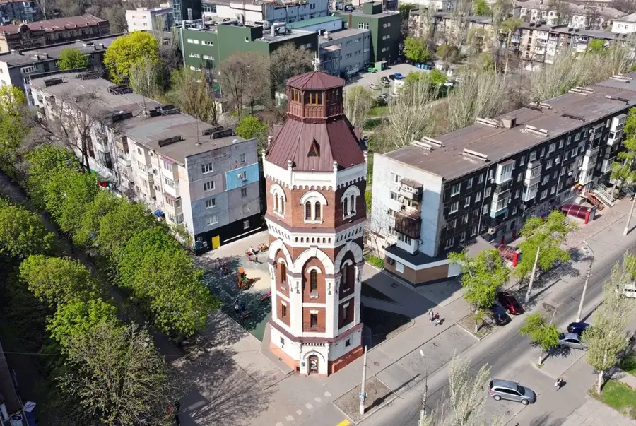
Sights in the town Chatyr-Dag (2)
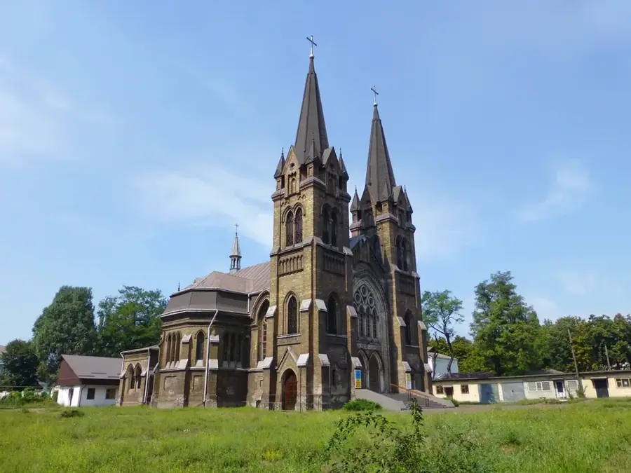
Sights nearby
Frequently asked questions
What is Chatyr-Dag?
How many plateaus does it have?
Which cave is the most famous?
How high is the highest point?
Where does the name come from?
Chatyr-Dag: where is it located?
Chatyr-Dag: what is there to see?
Chatyr-Dag: when is the best time to visit?
Chatyr-Dag: why is it worth visiting?

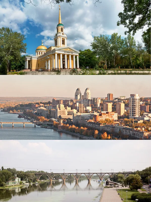
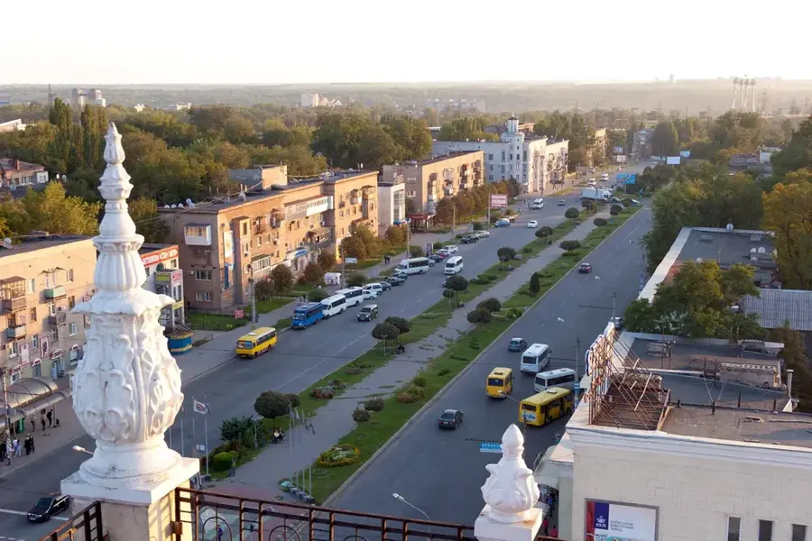
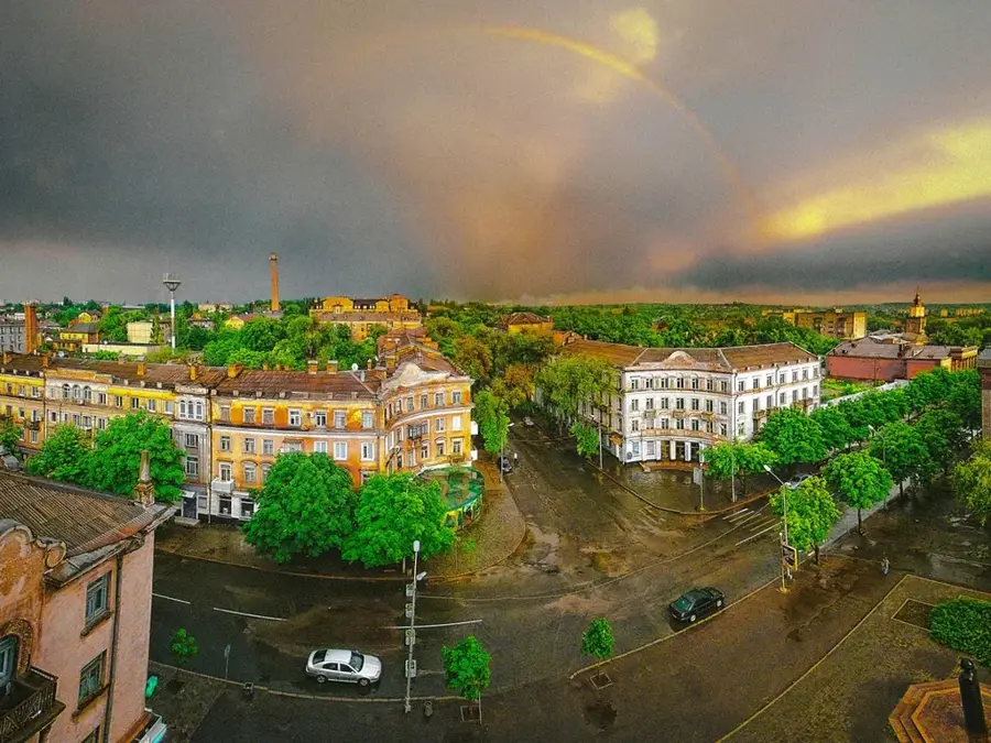
Nearby cities