Plizio Visual Lab
Belmakh-Mohyla
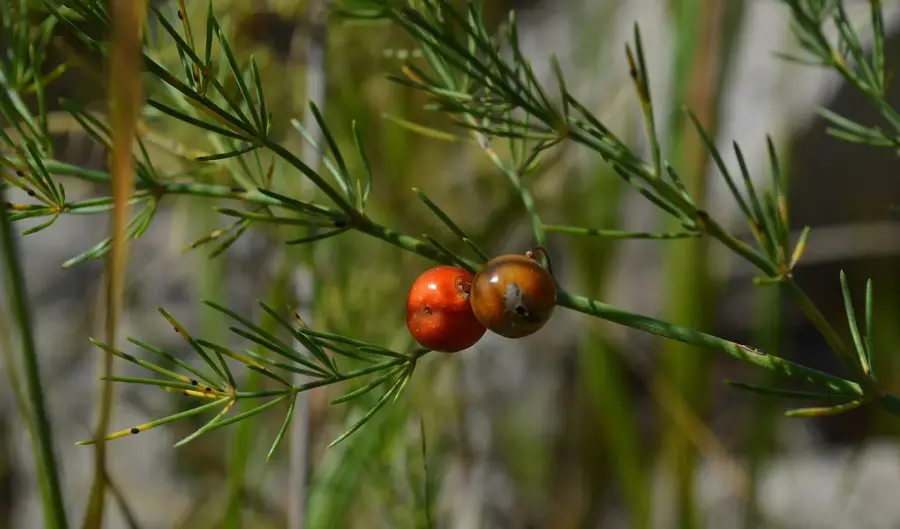
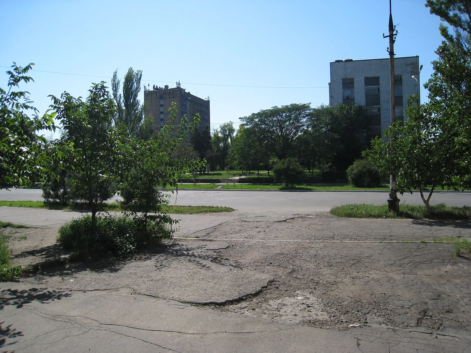
Belmakh-Mohyla is the highest point of the Azov Upland, standing at 324 meters in the Zaporizhzhia region of southern Ukraine. This geological formation is primarily composed of ancient crystalline rocks, such as granite, and is a significant outcropping of the Ukrainian Shield. The summit is covered by a thin layer of fertile black soil (chernozem), characteristic of the surrounding steppe landscape. Historically and archaeologically, the site holds great importance, as it has been used as a ritual and burial ground since antiquity, evidenced by the presence of numerous kurgans. From its peak, visitors can enjoy expansive views of the region's vast agricultural fields stretching towards the Sea of Azov. Today, the upland also hosts telecommunication towers and equipment. Local conservation areas protect remnants of the original feather-grass steppe that once blanketed the entire territory. For scientists, Belmakh-Mohyla provides critical data on the early geological formation and prehistoric cultural heritage of the region.
- Location: Ukraine
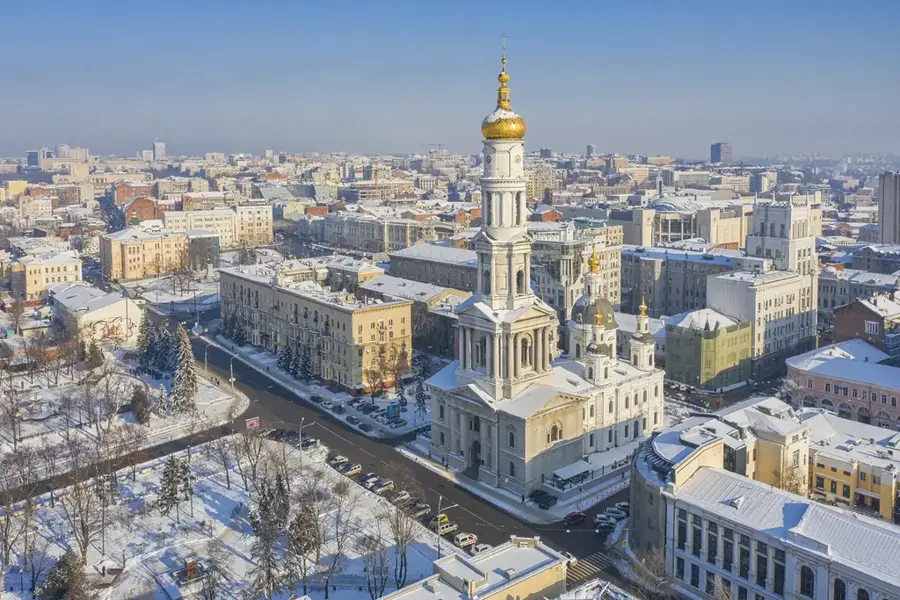
- Nearby: Polohy (39 km)
Best time to visit & climate
The most pleasant time to visit is Jun, Aug, Sep.
| Jan | Feb | Mar | Apr | May | Jun | Jul | Aug | Sep | Oct | Nov | Dec | |
|---|---|---|---|---|---|---|---|---|---|---|---|---|
| Avg °C | -4 | -3 | 3 | 9 | 17 | 21 | 24 | 24 | 18 | 10 | 3 | -2 |
| Rain mm | 52 | 40 | 39 | 35 | 49 | 56 | 43 | 33 | 37 | 35 | 43 | 44 |
📋 Practical info
Geography
Facts
- Highest peak of the Azov Upland at 324 meters.
- Composed of ancient crystalline granite rocks.
- Located in the Zaporizhzhia Oblast region.
- Ancient burial site featuring several kurgans.
- Formed as part of the massive Ukrainian Shield.
- Site for regional telecommunication infrastructure.
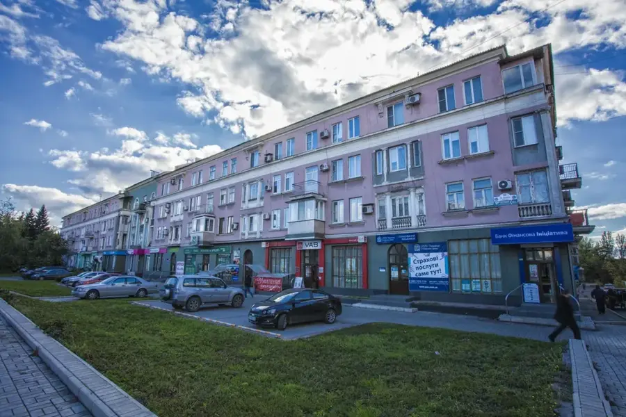
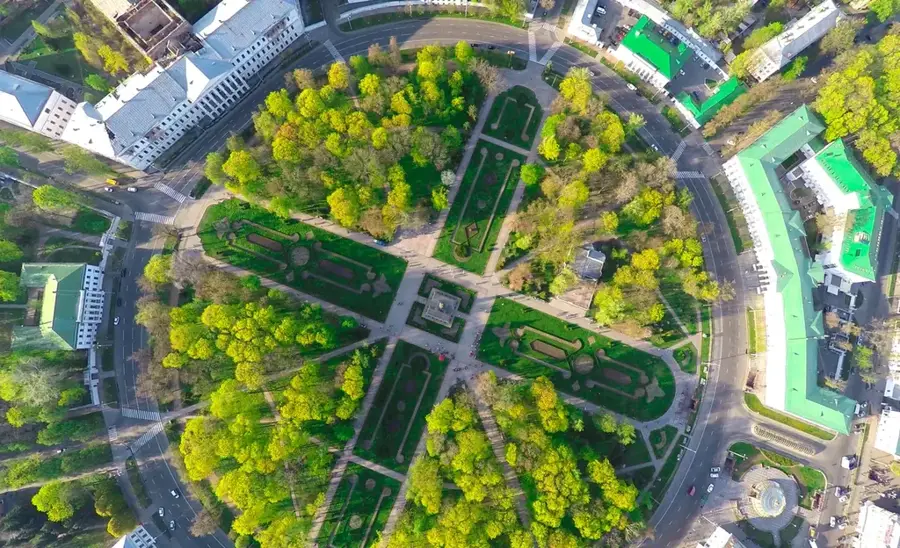
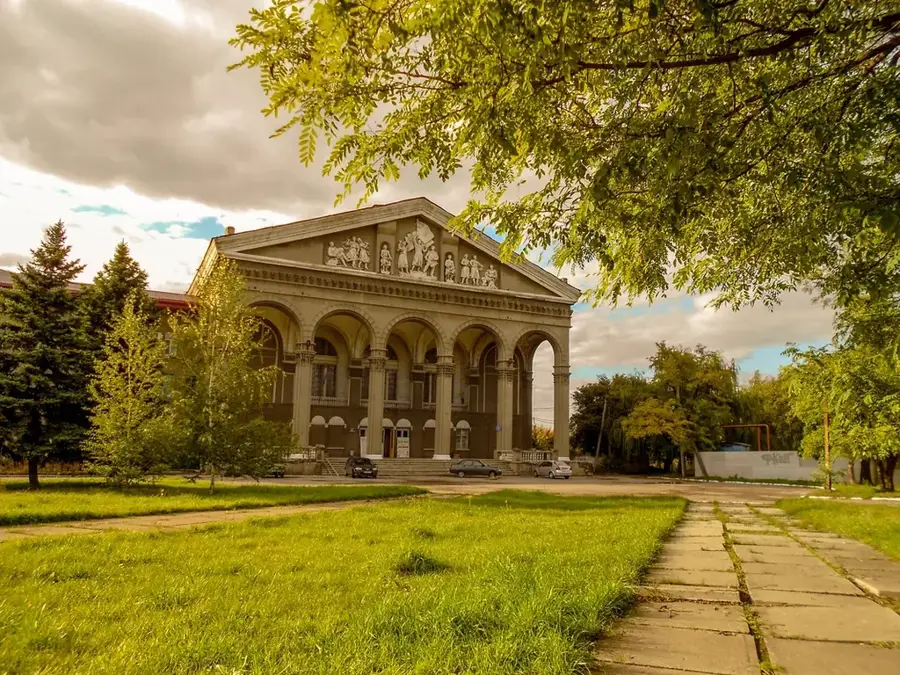
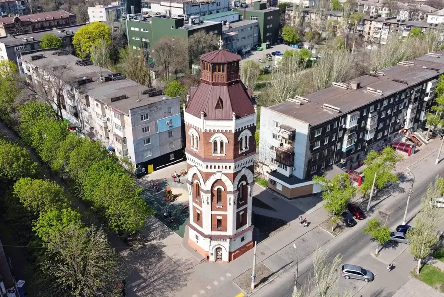
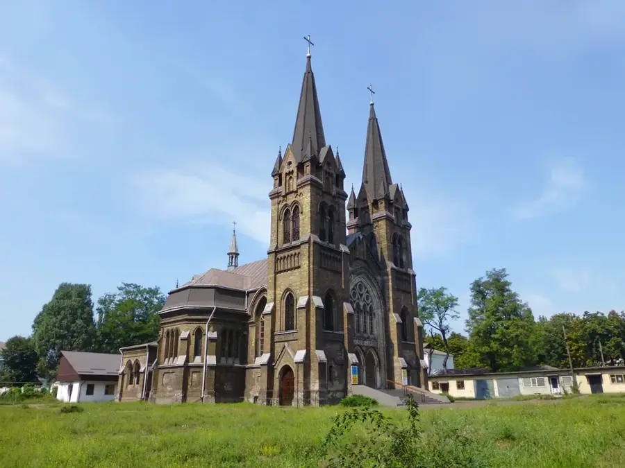
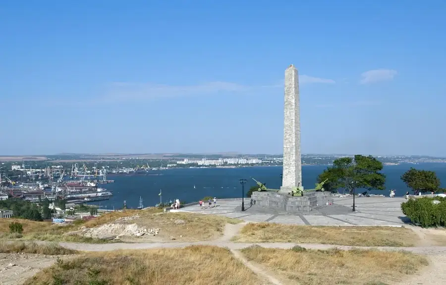
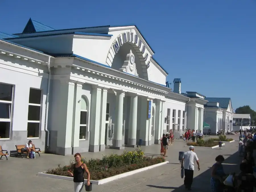
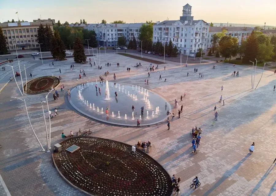
Explore nearby
Notable places around
Route planner — Car & Motorhome
Where do you start? We build the route here, with stops and country notes along the way.
© OpenStreetMap contributors · OpenRouteService
Sights nearby
Frequently asked questions
Where is Belmakh-Mohyla located?
How high is the mountain?
What is special about this place?
Can you go hiking there?
What vegetation predominates?
Belmakh-Mohyla: where is it located?
Belmakh-Mohyla: when is the best time to visit?
Belmakh-Mohyla: why is it worth visiting?

Nearby cities