Plizio Visual Lab
Azov Upland
Weather…
Water temperature…
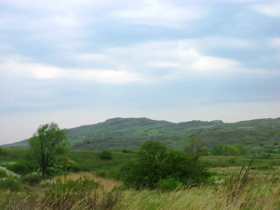
The Azov Upland is a highland region in southeastern Ukraine, situated to the north of the Sea of Azov. It constitutes the southeastern extension of the Ukrainian Shield, where ancient crystalline basement rocks, such as granite and gneiss, frequently breach the sedimentary cover. The topography consists of undulating plateaus dissected by river valleys that flow toward the Azov coast. Its highest point is Belmak-Mohyla, reaching 324 meters above sea level, which is a significant geological landmark of high antiquity. The landscape is dotted with prominent rock outcrops and ancient burial mounds locally known as 'mohylas.' The upland is covered by highly fertile chernozem soils, making it a key area for agricultural production. The climate is continental steppe, characterized by hot summers and moderate winters. Of great ecological importance is the 'Kamyani Mohyly' (Stone Tombs) Nature Reserve, where granite formations provide a unique micro-habitat for rare steppe flora that has adapted to the rocky acidic soil.
- Location: Ukraine
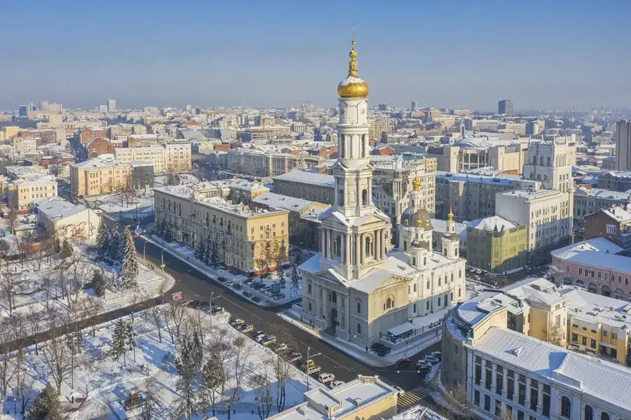
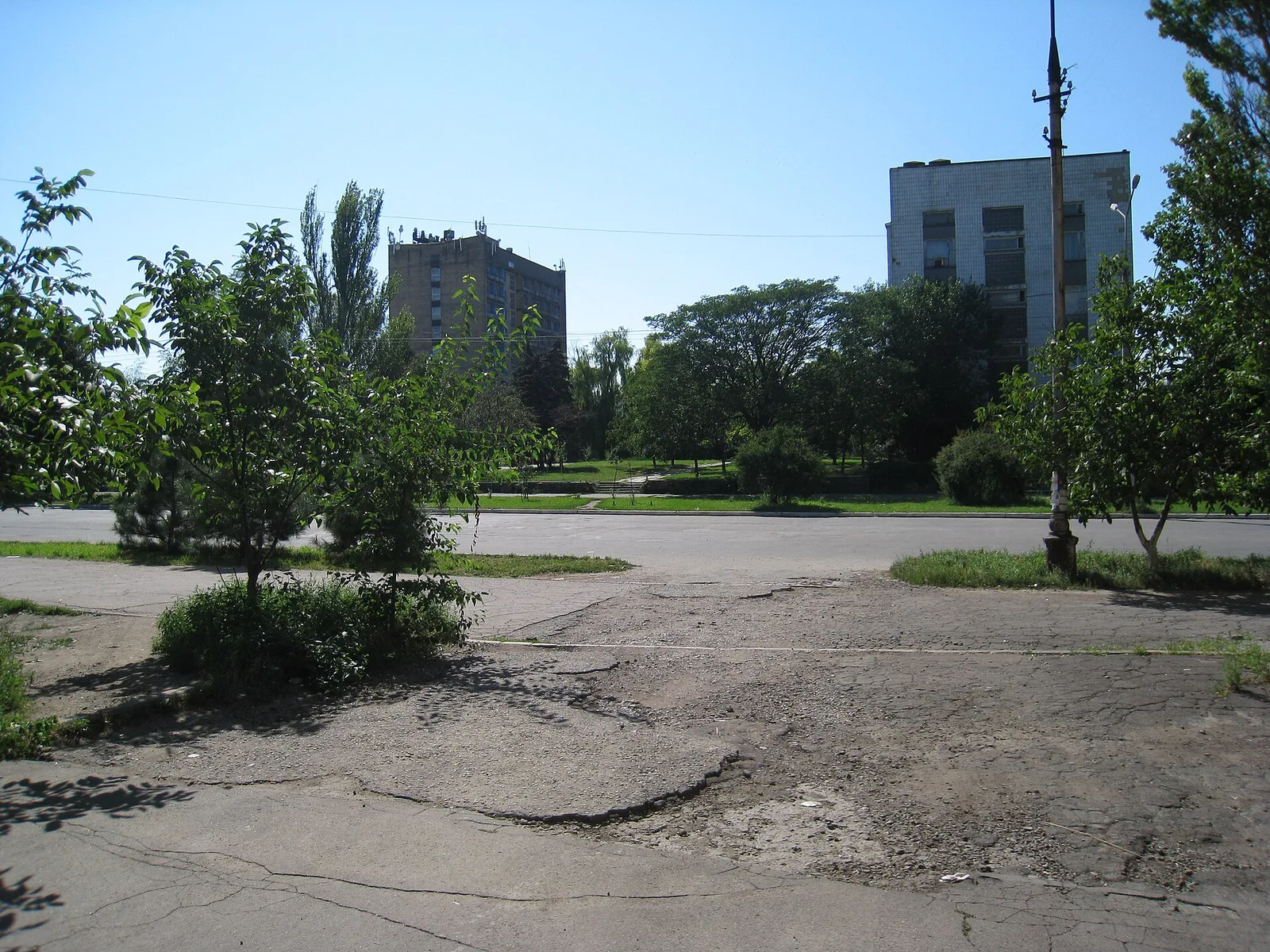
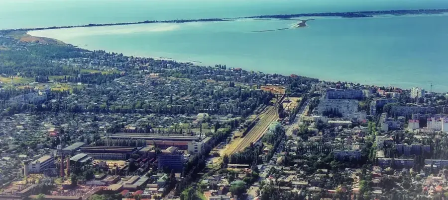
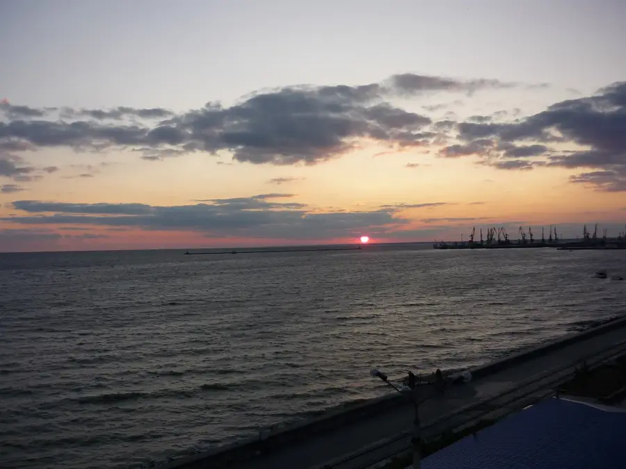
- Nearby: Polohy (42 km)
Best time to visit & climate
The most pleasant time to visit is Jun, Aug, Sep.
| Jan | Feb | Mar | Apr | May | Jun | Jul | Aug | Sep | Oct | Nov | Dec | |
|---|---|---|---|---|---|---|---|---|---|---|---|---|
| Avg °C | -4 | -3 | 3 | 9 | 17 | 21 | 24 | 24 | 18 | 10 | 3 | -2 |
| Rain mm | 52 | 40 | 39 | 35 | 49 | 56 | 43 | 33 | 37 | 35 | 43 | 44 |
📋 Practical info
Geography
Facts
- The highest elevation is Belmak-Mohyla at 324 meters.
- Formed by ancient crystalline rocks of the Ukrainian Shield.
- Rich in mineral resources, particularly iron ore deposits.
- Contains the 'Kamyani Mohyly' Nature Reserve.
- Acts as a major watershed for rivers entering the Sea of Azov.
- Geologically one of the oldest landforms in Eastern Europe.
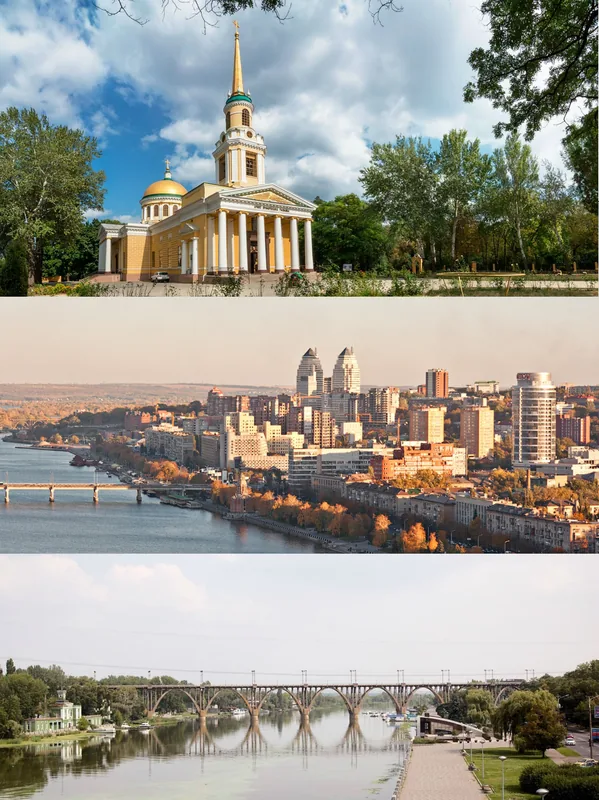
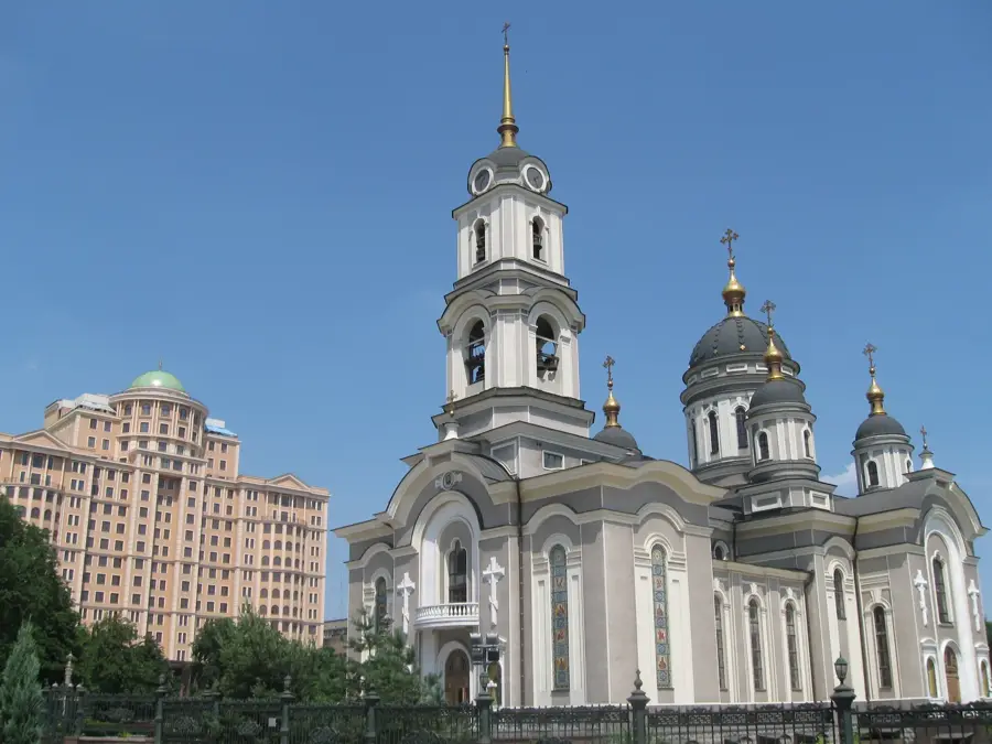
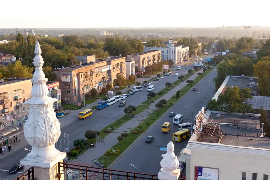
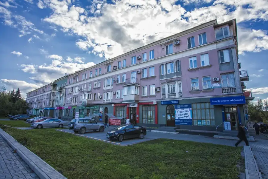
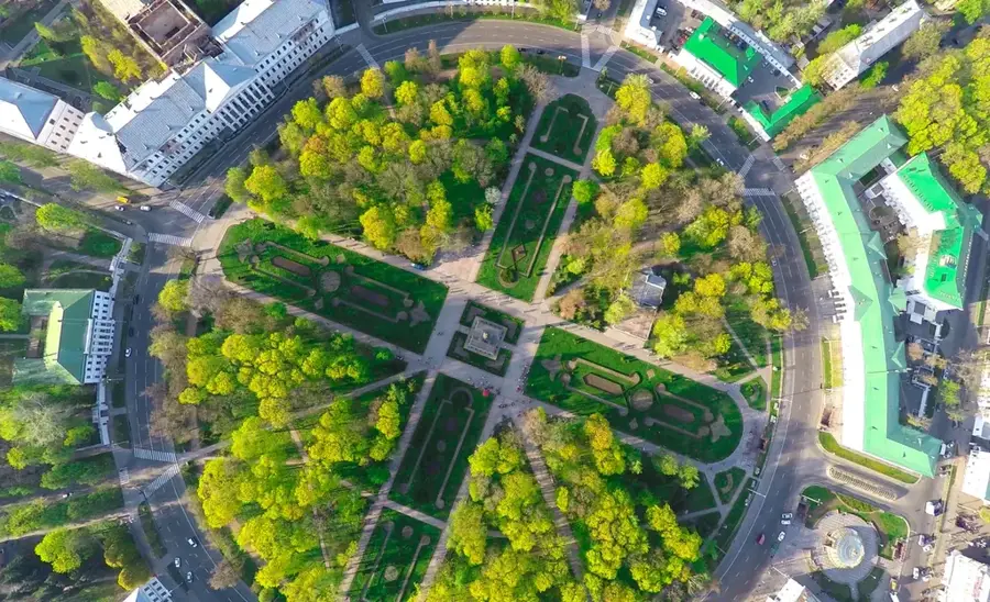
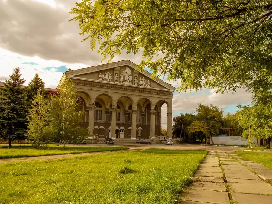
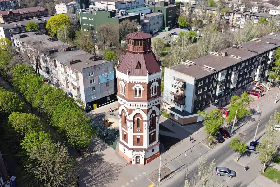
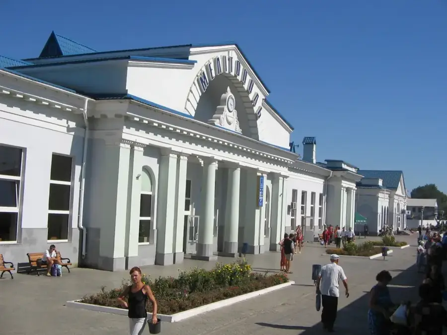
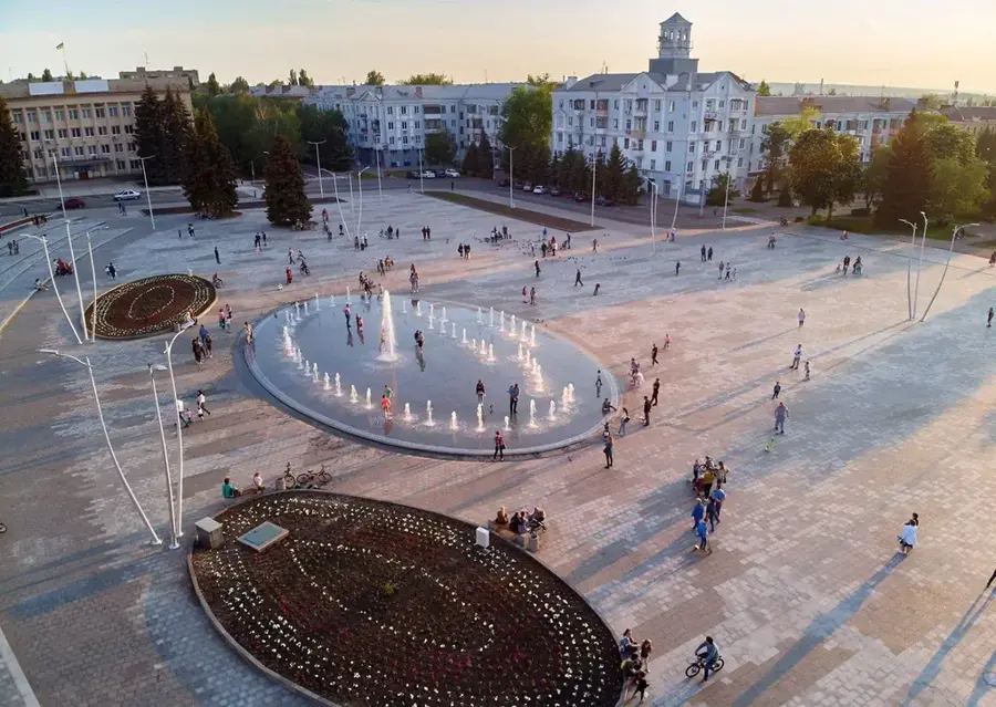
Explore nearby
Notable places around
Route planner — Car & Motorhome
Where do you start? We build the route here, with stops and country notes along the way.
© OpenStreetMap contributors · OpenRouteService
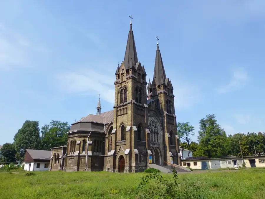
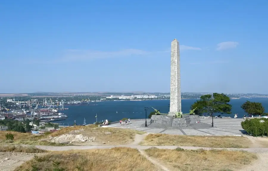
Sights nearby
Frequently asked questions
Where is the Azov Upland located?
How high is the highest elevation?
What rocks are found here?
What are 'Kamyani Mohyly'?
How is the region used for agriculture?
Azov Upland: where is it located?
Azov Upland: when is the best time to visit?
Azov Upland: why is it worth visiting?

Nearby cities